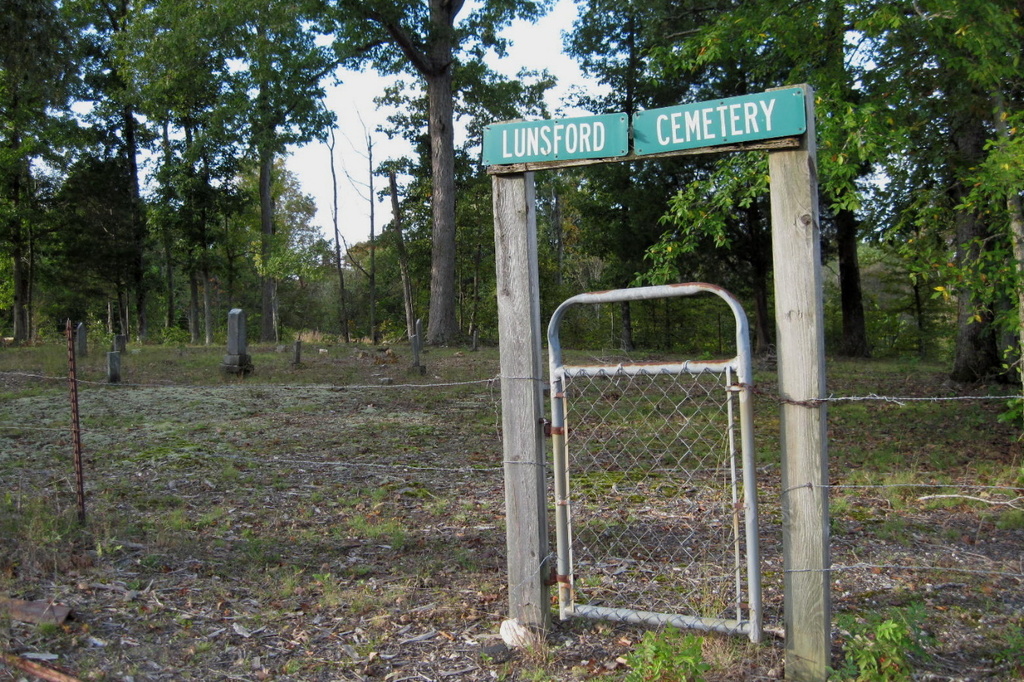
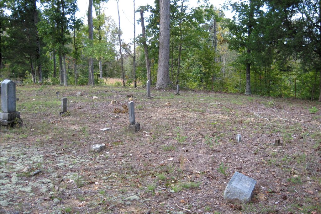
| Memorials | : | 0 |
| Location | : | Parsons, Decatur County, USA |
| Coordinate | : | 35.6684530, -88.0829530 |
| Description | : | From intersection of Davis Mills Rd. & US-412 E., east of Parsons, travel north on Davis Mills Rd. for 0.7 mi.; turning slightly easterly (right) onto Bunches Chapel Rd, going 1.2 mi. turning west (left) into a driveway, going about 200 yards to the cemetery on the east (right) side of the road within a fence. This cemetery is located on a hill off Davis Mill Road (formerly Bunches Chapel Road). Traveling north, about 200 yards beyond Odos Graves Road a gravel road turns off to the left, just opposite a group of barns. Turn left onto the... Read More |
frequently asked questions (FAQ):
-
Where is Lunsford Cemetery?
Lunsford Cemetery is located at Bunches Chapel Road Parsons, Decatur County ,Tennessee ,USA.
-
Lunsford Cemetery cemetery's updated grave count on graveviews.com?
0 memorials
-
Where are the coordinates of the Lunsford Cemetery?
Latitude: 35.6684530
Longitude: -88.0829530
Nearby Cemetories:
1. Iron Hill Church Cemetery
Parsons, Decatur County, USA
Coordinate: 35.6638920, -88.0932450
2. Hopewell Cemetery
Parsons, Decatur County, USA
Coordinate: 35.6538890, -88.0653850
3. Decatur County Memorial Gardens
Parsons, Decatur County, USA
Coordinate: 35.6838580, -88.1127480
4. Bunches Chapel Cemetery
Parsons, Decatur County, USA
Coordinate: 35.6743700, -88.0481870
5. Cross Roads Church Cemetery
Parsons, Decatur County, USA
Coordinate: 35.6814030, -88.1150360
6. Apostolic Church of Jesus Christ Cemetery
Parsons, Decatur County, USA
Coordinate: 35.6871480, -88.1106520
7. Houston Cemetery
Parsons, Decatur County, USA
Coordinate: 35.7037230, -88.0904280
8. Wilkins Cemetery
Parsons, Decatur County, USA
Coordinate: 35.7051000, -88.0772050
9. Parsons Cemetery
Parsons, Decatur County, USA
Coordinate: 35.6472200, -88.1205000
10. Clay Cemetery
Parsons, Decatur County, USA
Coordinate: 35.6375510, -88.1126050
11. Stills Cemetery
Parsons, Decatur County, USA
Coordinate: 35.6848660, -88.1269820
12. Houston Cemetery
Decatur County, USA
Coordinate: 35.6268997, -88.0888977
13. McMurry Cemetery
Parsons, Decatur County, USA
Coordinate: 35.6864650, -88.1294860
14. Sardis Ridge Cemetery
Parsons, Decatur County, USA
Coordinate: 35.6274370, -88.0665750
15. Southside Church Cemetery
Parsons, Decatur County, USA
Coordinate: 35.6282030, -88.1103900
16. Walker Cemetery
Parsons, Decatur County, USA
Coordinate: 35.7120360, -88.1066540
17. Walker Cemetery
Decatur County, USA
Coordinate: 35.7153015, -88.0658035
18. Mount Tabor Church Cemetery
Parsons, Decatur County, USA
Coordinate: 35.6242020, -88.1169180
19. Jennings Cemetery
Parsons, Decatur County, USA
Coordinate: 35.7191020, -88.1053980
20. Long Cemetery
Decatur County, USA
Coordinate: 35.7032430, -88.1356640
21. Perryville Cemetery
Parsons, Decatur County, USA
Coordinate: 35.6229150, -88.0436520
22. Bear Creek Church Cemetery
Parsons, Decatur County, USA
Coordinate: 35.6491130, -88.1481300
23. Houston Cemetery
Parsons, Decatur County, USA
Coordinate: 35.6171810, -88.1125870
24. Gabbard Cemetery
Parsons, Decatur County, USA
Coordinate: 35.6875340, -88.1507260


