
| Memorials | : | 0 |
| Location | : | Ferring, Arun District, England |
| Coordinate | : | 50.8125800, -0.4482200 |
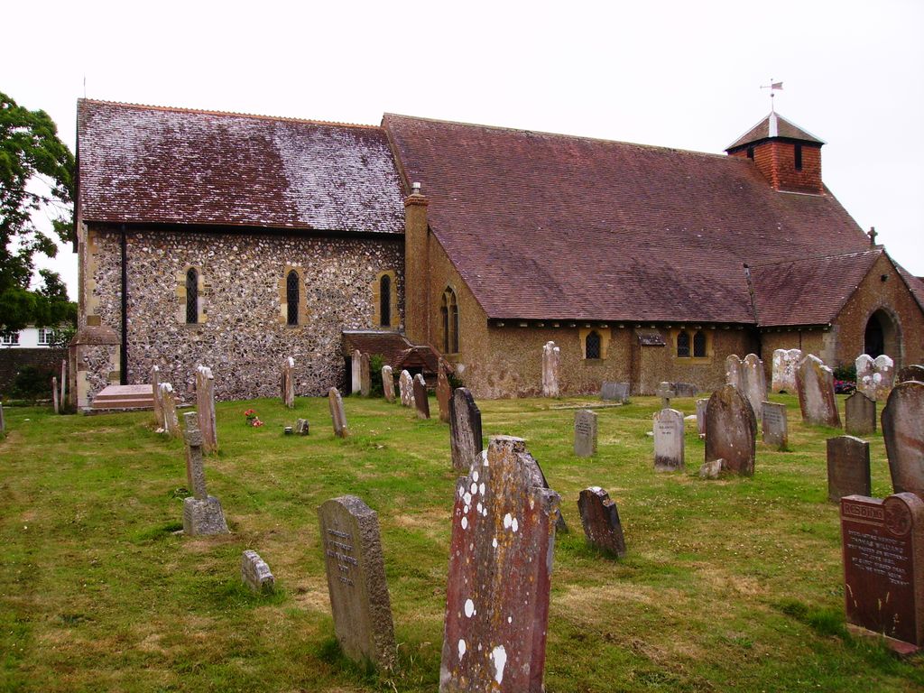
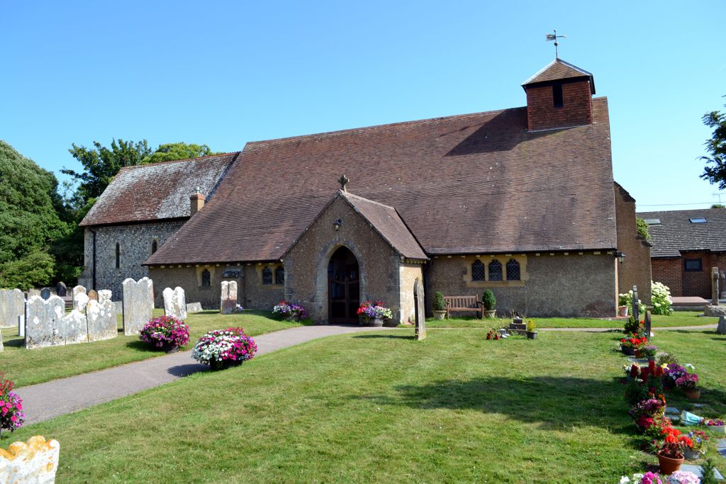
| Description | : | The church building dates from about AD 1250, although a monastery existed in Ferring from about AD 765, when land was granted for the purpose by Osmund, King of the South Saxons. (ref Ferring History Group) |
frequently asked questions (FAQ):
-
Where is St Andrew's Churchyard?
St Andrew's Churchyard is located at Church Lane Ferring, Arun District ,West Sussex , BN12 5HNEngland.
-
St Andrew's Churchyard cemetery's updated grave count on graveviews.com?
0 memorials
-
Where are the coordinates of the St Andrew's Churchyard?
Latitude: 50.8125800
Longitude: -0.4482200


Nearby Cemetories:
1. St Mary Churchyard
Goring-by-Sea, Worthing Borough, England
Coordinate: 50.8129310, -0.4245400
2. St Mary the Virgin Churchyard
East Preston, Arun District, England
Coordinate: 50.8125610, -0.4897360
3. St. Margaret's Parish Churchyard
Angmering, Arun District, England
Coordinate: 50.8289920, -0.4860946
4. St Wilfrid Roman Catholic Cemetery
Angmering, Arun District, England
Coordinate: 50.8300437, -0.4858832
5. St Andrew Churchyard
Tarring, Worthing Borough, England
Coordinate: 50.8247000, -0.3956000
6. Church of Saint Mary the Virgin
Clapham, Arun District, England
Coordinate: 50.8487294, -0.4446710
7. Brookside Cemetery
Rustington, Arun District, England
Coordinate: 50.8182133, -0.5048826
8. St John the Divine Churchyard
Patching, Arun District, England
Coordinate: 50.8485920, -0.4570270
9. Heene Cemetery
Worthing, Worthing Borough, England
Coordinate: 50.8121180, -0.3881260
10. St Peter and St Paul Churchyard
Rustington, Arun District, England
Coordinate: 50.8103200, -0.5107400
11. St Matthew Churchyard
Worthing, Worthing Borough, England
Coordinate: 50.8178900, -0.3830100
12. Durrington Cemetery
Durrington, Worthing Borough, England
Coordinate: 50.8390820, -0.3934460
13. Holy Trinity Churchyard
Worthing, Worthing Borough, England
Coordinate: 50.8112700, -0.3785000
14. St Mary of the Angels RC Church
Worthing, Worthing Borough, England
Coordinate: 50.8133800, -0.3774000
15. St Andrew the Apostle Churchyard
Worthing, Worthing Borough, England
Coordinate: 50.8153000, -0.3774100
16. Broadwater Cemetery
Worthing, Worthing Borough, England
Coordinate: 50.8277650, -0.3799460
17. St Nicholas Churchyard
Poling, Arun District, England
Coordinate: 50.8315400, -0.5144600
18. Christ Church Churchyard
Worthing, Worthing Borough, England
Coordinate: 50.8131570, -0.3739420
19. St Marys Churchyard
Broadwater, Worthing Borough, England
Coordinate: 50.8277750, -0.3734920
20. Littlehampton Cemetery
Littlehampton, Arun District, England
Coordinate: 50.8190710, -0.5282800
21. St John the Baptist Churchyard
Findon, Arun District, England
Coordinate: 50.8650400, -0.4148790
22. St Mary Churchyard
Littlehampton, Arun District, England
Coordinate: 50.8089180, -0.5385450
23. The Catholic Church of Saint Charles Borromeo
Worthing Borough, England
Coordinate: 50.8206203, -0.3544798
24. Findon Cemetery
Findon, Arun District, England
Coordinate: 50.8678500, -0.4100500