
| Memorials | : | 1 |
| Location | : | Worthing, Worthing Borough, England |
| Coordinate | : | 50.8277650, -0.3799460 |
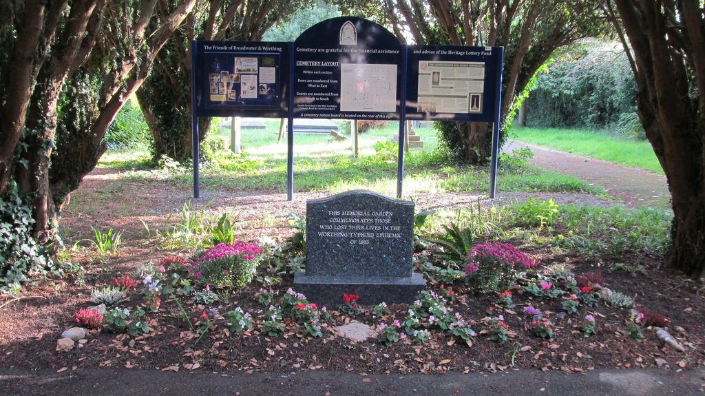
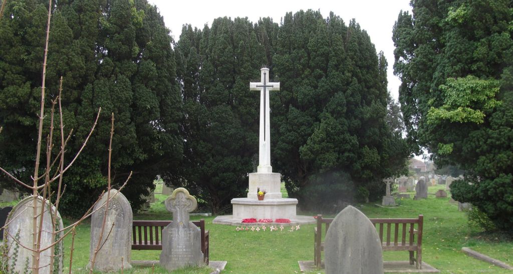
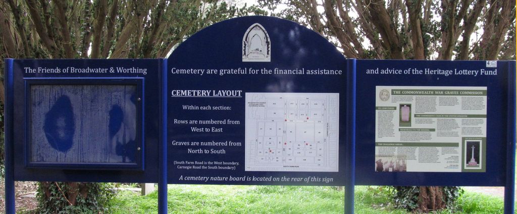
| Description | : | Broadwater cemetery was opened in 1863 and there are 24,888 burials in it. It was closed in 2014 unless it is family burial in an existing plot. The first burials in the cemetery are testament to the class system of the time. The first entry in the records show that Joseph Hardy a 74 year old “gentleman” who was buried on 16th May 1863 had his “plot” purchased on the 18th and his grave, with marker, are located just inside the main entrance. On the same day 44 year old Henry Lelliot, a “cordwonner” who lived at Field Row was buried... Read More |
frequently asked questions (FAQ):
-
Where is Broadwater Cemetery?
Broadwater Cemetery is located at South Farm Road Worthing, Worthing Borough ,West Sussex ,England.
-
Broadwater Cemetery cemetery's updated grave count on graveviews.com?
1 memorials
-
Where are the coordinates of the Broadwater Cemetery?
Latitude: 50.8277650
Longitude: -0.3799460


Nearby Cemetories:
1. St Marys Churchyard
Broadwater, Worthing Borough, England
Coordinate: 50.8277750, -0.3734920
2. St Matthew Churchyard
Worthing, Worthing Borough, England
Coordinate: 50.8178900, -0.3830100
3. St Andrew Churchyard
Tarring, Worthing Borough, England
Coordinate: 50.8247000, -0.3956000
4. St Andrew the Apostle Churchyard
Worthing, Worthing Borough, England
Coordinate: 50.8153000, -0.3774100
5. Durrington Cemetery
Durrington, Worthing Borough, England
Coordinate: 50.8390820, -0.3934460
6. St Mary of the Angels RC Church
Worthing, Worthing Borough, England
Coordinate: 50.8133800, -0.3774000
7. Christ Church Churchyard
Worthing, Worthing Borough, England
Coordinate: 50.8131570, -0.3739420
8. Heene Cemetery
Worthing, Worthing Borough, England
Coordinate: 50.8121180, -0.3881260
9. Holy Trinity Churchyard
Worthing, Worthing Borough, England
Coordinate: 50.8112700, -0.3785000
10. The Catholic Church of Saint Charles Borromeo
Worthing Borough, England
Coordinate: 50.8206203, -0.3544798
11. St. Mary's Churchyard
Sompting, Adur District, England
Coordinate: 50.8386030, -0.3518740
12. St Mary Churchyard
Goring-by-Sea, Worthing Borough, England
Coordinate: 50.8129310, -0.4245400
13. Lancing and Sompting Cemetery
Lancing, Adur District, England
Coordinate: 50.8405270, -0.3280020
14. St James the Less Churchyard Extension
Lancing, Adur District, England
Coordinate: 50.8367330, -0.3239250
15. St. James the Less Churchyard
Lancing, Adur District, England
Coordinate: 50.8378170, -0.3226110
16. St John the Baptist Churchyard
Findon, Arun District, England
Coordinate: 50.8650400, -0.4148790
17. Findon Cemetery
Findon, Arun District, England
Coordinate: 50.8678500, -0.4100500
18. St Andrew's Churchyard
Ferring, Arun District, England
Coordinate: 50.8125800, -0.4482200
19. Church of Saint Mary the Virgin
Clapham, Arun District, England
Coordinate: 50.8487294, -0.4446710
20. Worthing Crematorium
Findon, Arun District, England
Coordinate: 50.8728370, -0.4085170
21. Landing College Chapel
Lancing, Adur District, England
Coordinate: 50.8459798, -0.3042240
22. St John the Divine Churchyard
Patching, Arun District, England
Coordinate: 50.8485920, -0.4570270
23. Coombes Churchyard
Coombes, Adur District, England
Coordinate: 50.8611730, -0.3082180
24. St. Nicolas' Churchyard
Old Shoreham, Adur District, England
Coordinate: 50.8407940, -0.2856690