
| Memorials | : | 0 |
| Location | : | Findon, Arun District, England |
| Coordinate | : | 50.8650400, -0.4148790 |
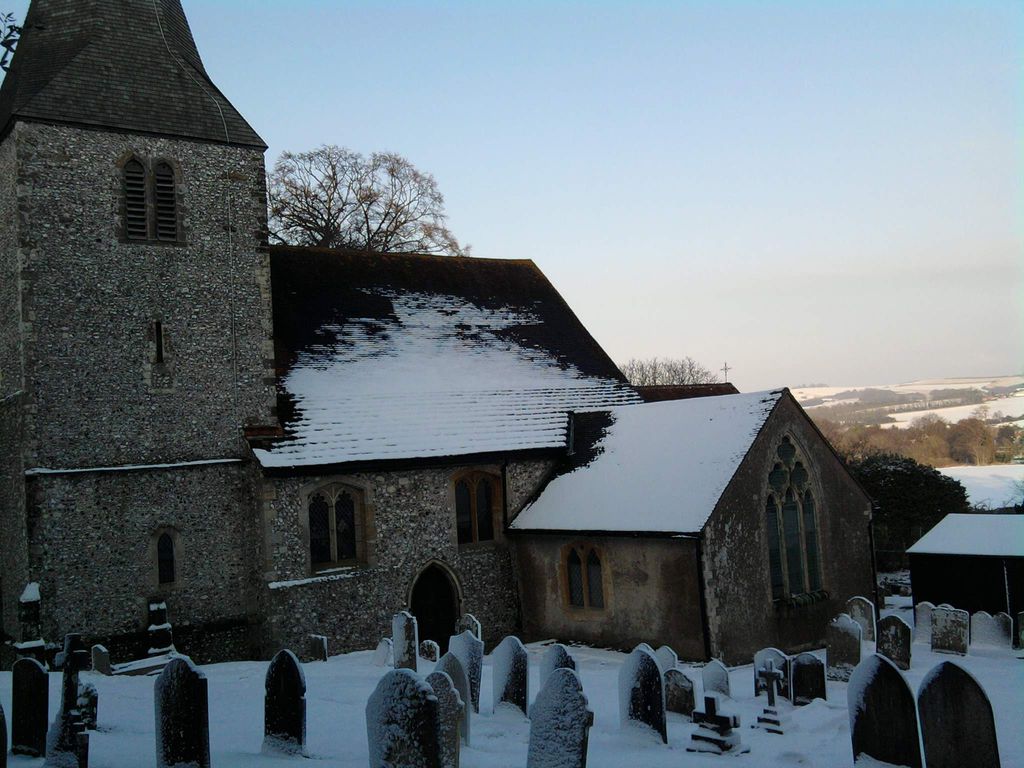
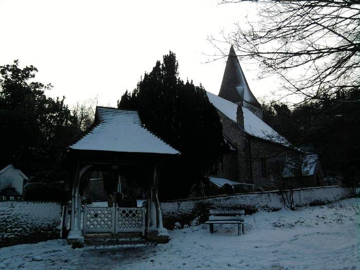
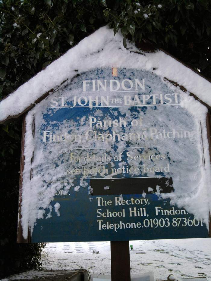
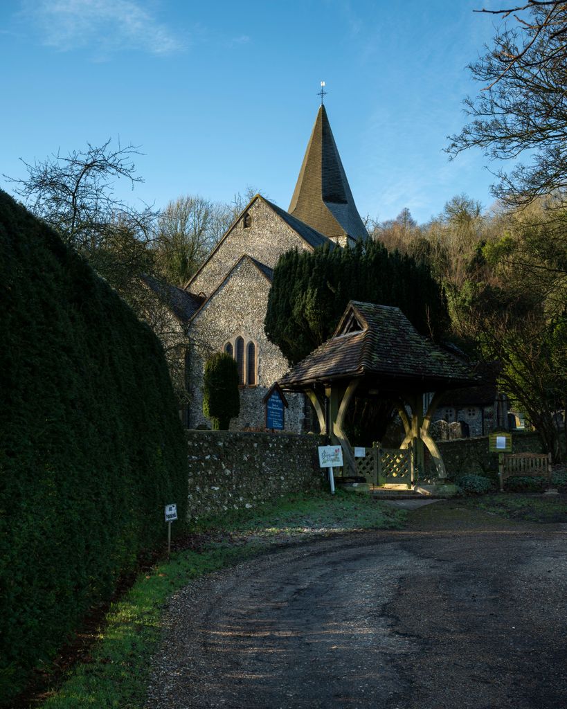
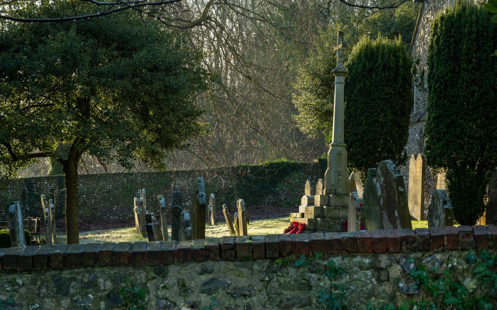
| Description | : | The oldest part of the church was built in the eleventh century, since which time beautifully proportioned arches, fine stained glass windows and a reredos of renowned William Morris tiles have been added. In the church hangs a list of those who have served as Vicar, dating back to 1287. Worship has been offered in this building for almost half the Christian era and the church continues to be well supported. This beautiful Grade I Listed Building, requires much attention. Although well supported by the local community, some requirements are beyond their resources alone. The need to repair the magnificent... Read More |
frequently asked questions (FAQ):
-
Where is St John the Baptist Churchyard?
St John the Baptist Churchyard is located at Findon A24 by-pass Findon, Arun District ,West Sussex , BN14 0RFEngland.
-
St John the Baptist Churchyard cemetery's updated grave count on graveviews.com?
0 memorials
-
Where are the coordinates of the St John the Baptist Churchyard?
Latitude: 50.8650400
Longitude: -0.4148790
Nearby Cemetories:
1. Findon Cemetery
Findon, Arun District, England
Coordinate: 50.8678500, -0.4100500
2. Worthing Crematorium
Findon, Arun District, England
Coordinate: 50.8728370, -0.4085170
3. Church of Saint Mary the Virgin
Clapham, Arun District, England
Coordinate: 50.8487294, -0.4446710
4. Durrington Cemetery
Durrington, Worthing Borough, England
Coordinate: 50.8390820, -0.3934460
5. St John the Divine Churchyard
Patching, Arun District, England
Coordinate: 50.8485920, -0.4570270
6. St Mary's Churchyard Extension
Washington, Horsham District, England
Coordinate: 50.9036269, -0.4089782
7. St. Mary's Parish Churchyard
Washington, Horsham District, England
Coordinate: 50.9043450, -0.4103140
8. St Andrew Churchyard
Tarring, Worthing Borough, England
Coordinate: 50.8247000, -0.3956000
9. Broadwater Cemetery
Worthing, Worthing Borough, England
Coordinate: 50.8277650, -0.3799460
10. Saint Marys Churchyard
Sullington, Horsham District, England
Coordinate: 50.9070090, -0.4391640
11. St Marys Churchyard
Broadwater, Worthing Borough, England
Coordinate: 50.8277750, -0.3734920
12. St. Mary's Churchyard
Sompting, Adur District, England
Coordinate: 50.8386030, -0.3518740
13. St Mary Churchyard
Wiston, Horsham District, England
Coordinate: 50.8995280, -0.3582890
14. St Matthew Churchyard
Worthing, Worthing Borough, England
Coordinate: 50.8178900, -0.3830100
15. St Mary Churchyard
Goring-by-Sea, Worthing Borough, England
Coordinate: 50.8129310, -0.4245400
16. St Andrew the Apostle Churchyard
Worthing, Worthing Borough, England
Coordinate: 50.8153000, -0.3774100
17. All Saints Churchyard
Wiston, Horsham District, England
Coordinate: 50.9132350, -0.3725910
18. Heene Cemetery
Worthing, Worthing Borough, England
Coordinate: 50.8121180, -0.3881260
19. St Andrew's Churchyard
Ferring, Arun District, England
Coordinate: 50.8125800, -0.4482200
20. St Mary of the Angels RC Church
Worthing, Worthing Borough, England
Coordinate: 50.8133800, -0.3774000
21. St Wilfrid Roman Catholic Cemetery
Angmering, Arun District, England
Coordinate: 50.8300437, -0.4858832
22. St. Mary's Churchyard
Storrington, Horsham District, England
Coordinate: 50.9160360, -0.4566160
23. St. Margaret's Parish Churchyard
Angmering, Arun District, England
Coordinate: 50.8289920, -0.4860946
24. Christ Church Churchyard
Worthing, Worthing Borough, England
Coordinate: 50.8131570, -0.3739420