
| Memorials | : | 1 |
| Location | : | Broadwater, Worthing Borough, England |
| Coordinate | : | 50.8277750, -0.3734920 |
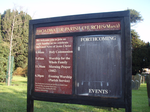
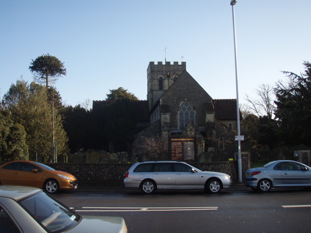
| Description | : | St. Mary's Church, Broadwater, is located in the Diocese of Chichester, in the deanery of Worthing and serves the parish of Broadwater in Worthing in West Sussex. It is one of four churches within this parish alongside Hosanna, Queen Street Fellowship and St. Stephen's Church.The building has a long history that can be dated back as far as the Domesday Book. Not much of the building from the Saxon times remain, however during repair work made in 1939 part of a Saxon archway was uncovered. The building has had many modifications, the most recent being in 2007 when one of... Read More |
frequently asked questions (FAQ):
-
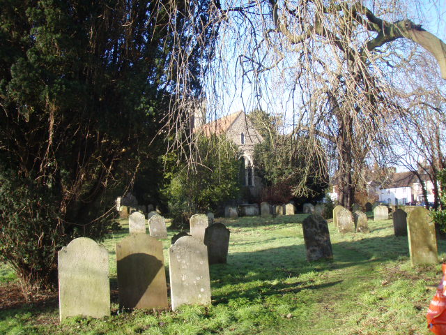
Where is St Marys Churchyard?
St Marys Churchyard is located at Broadwater, Worthing Borough ,West Sussex ,England.
-
St Marys Churchyard cemetery's updated grave count on graveviews.com?
1 memorials
-
Where are the coordinates of the St Marys Churchyard?
Latitude: 50.8277750
Longitude: -0.3734920
Nearby Cemetories:
1. Broadwater Cemetery
Worthing, Worthing Borough, England
Coordinate: 50.8277650, -0.3799460
2. St Matthew Churchyard
Worthing, Worthing Borough, England
Coordinate: 50.8178900, -0.3830100
3. St Andrew the Apostle Churchyard
Worthing, Worthing Borough, England
Coordinate: 50.8153000, -0.3774100
4. The Catholic Church of Saint Charles Borromeo
Worthing Borough, England
Coordinate: 50.8206203, -0.3544798
5. St Andrew Churchyard
Tarring, Worthing Borough, England
Coordinate: 50.8247000, -0.3956000
6. St Mary of the Angels RC Church
Worthing, Worthing Borough, England
Coordinate: 50.8133800, -0.3774000
7. Christ Church Churchyard
Worthing, Worthing Borough, England
Coordinate: 50.8131570, -0.3739420
8. Holy Trinity Churchyard
Worthing, Worthing Borough, England
Coordinate: 50.8112700, -0.3785000
9. Durrington Cemetery
Durrington, Worthing Borough, England
Coordinate: 50.8390820, -0.3934460
10. St. Mary's Churchyard
Sompting, Adur District, England
Coordinate: 50.8386030, -0.3518740
11. Heene Cemetery
Worthing, Worthing Borough, England
Coordinate: 50.8121180, -0.3881260
12. Lancing and Sompting Cemetery
Lancing, Adur District, England
Coordinate: 50.8405270, -0.3280020
13. St James the Less Churchyard Extension
Lancing, Adur District, England
Coordinate: 50.8367330, -0.3239250
14. St. James the Less Churchyard
Lancing, Adur District, England
Coordinate: 50.8378170, -0.3226110
15. St Mary Churchyard
Goring-by-Sea, Worthing Borough, England
Coordinate: 50.8129310, -0.4245400
16. St John the Baptist Churchyard
Findon, Arun District, England
Coordinate: 50.8650400, -0.4148790
17. Findon Cemetery
Findon, Arun District, England
Coordinate: 50.8678500, -0.4100500
18. Landing College Chapel
Lancing, Adur District, England
Coordinate: 50.8459798, -0.3042240
19. Church of Saint Mary the Virgin
Clapham, Arun District, England
Coordinate: 50.8487294, -0.4446710
20. St Andrew's Churchyard
Ferring, Arun District, England
Coordinate: 50.8125800, -0.4482200
21. Worthing Crematorium
Findon, Arun District, England
Coordinate: 50.8728370, -0.4085170
22. Coombes Churchyard
Coombes, Adur District, England
Coordinate: 50.8611730, -0.3082180
23. St John the Divine Churchyard
Patching, Arun District, England
Coordinate: 50.8485920, -0.4570270
24. St. Nicolas' Churchyard
Old Shoreham, Adur District, England
Coordinate: 50.8407940, -0.2856690