
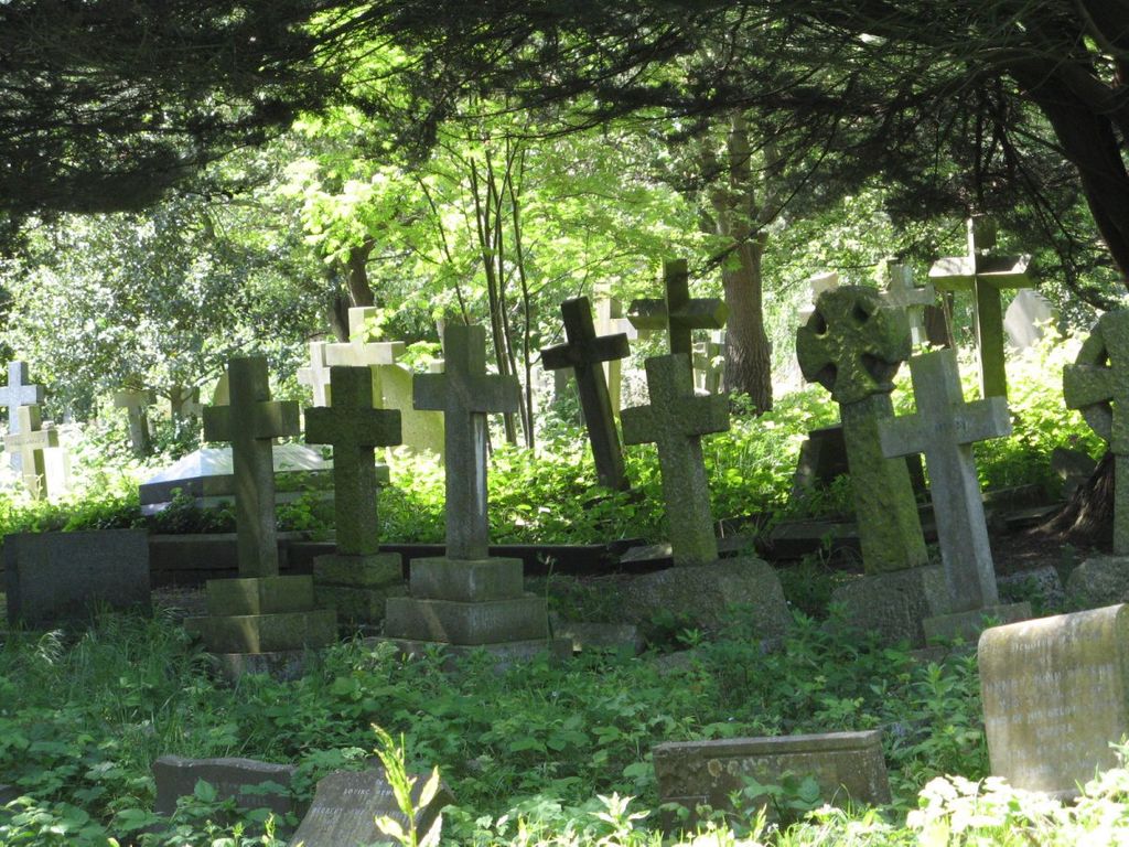
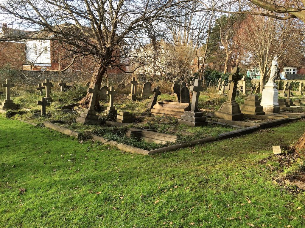
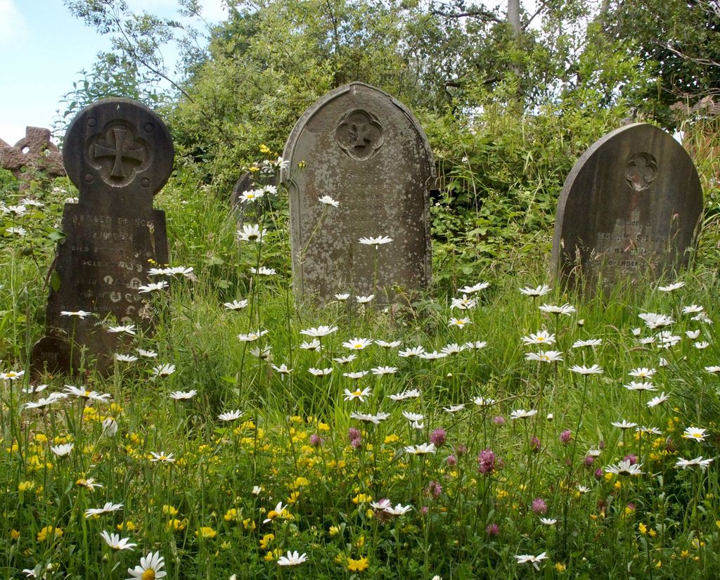
| Memorials | : | 2 |
| Location | : | Worthing, Worthing Borough, England |
| Coordinate | : | 50.8121180, -0.3881260 |
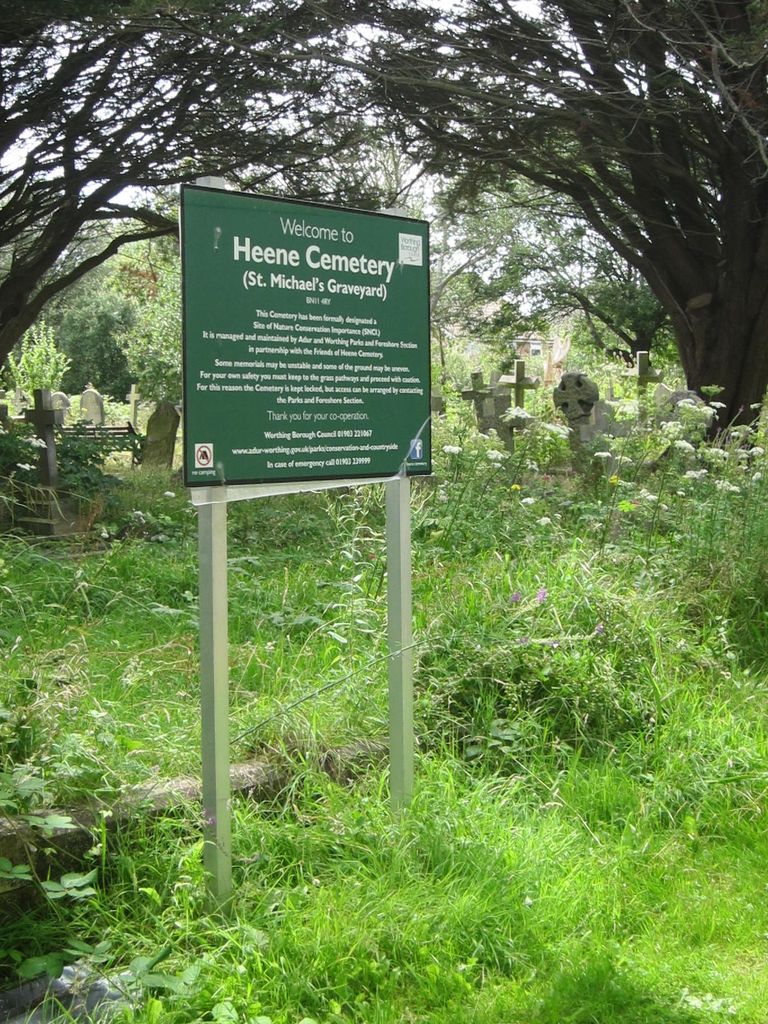
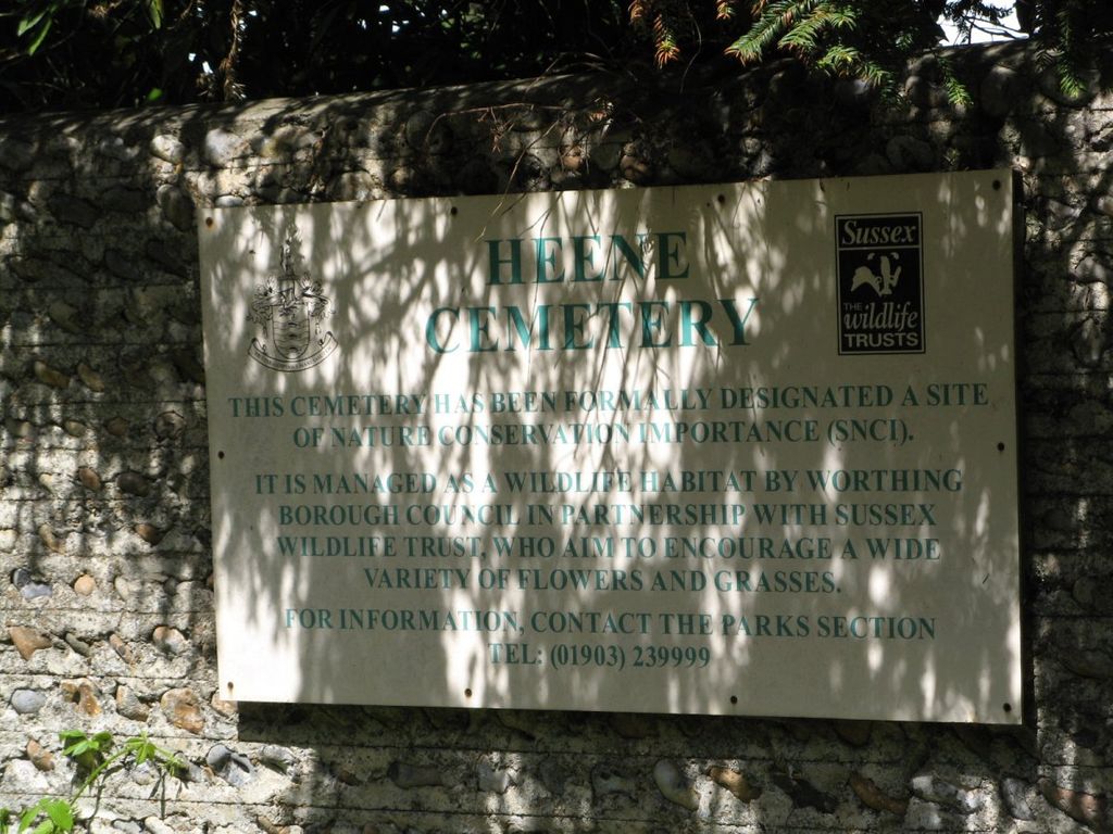
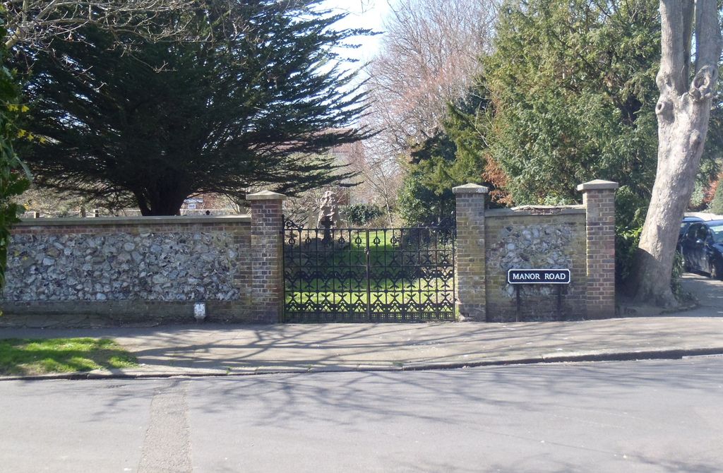
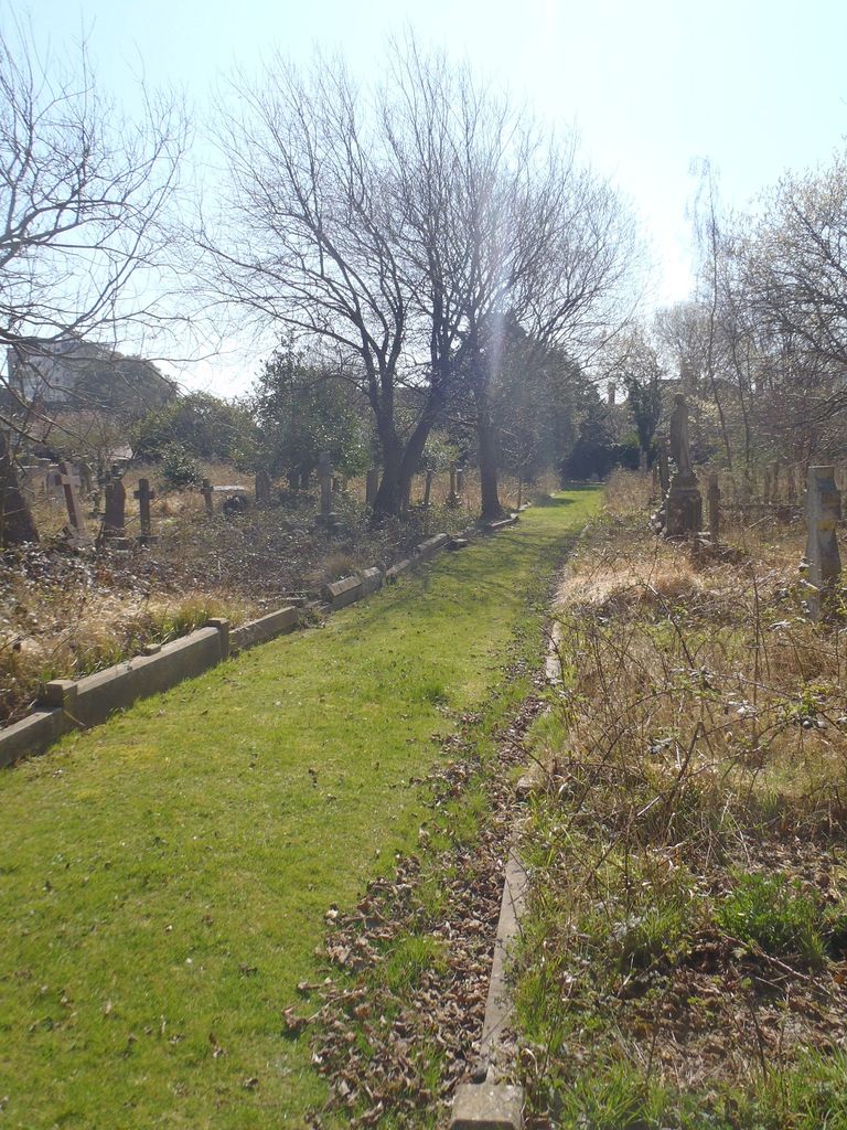
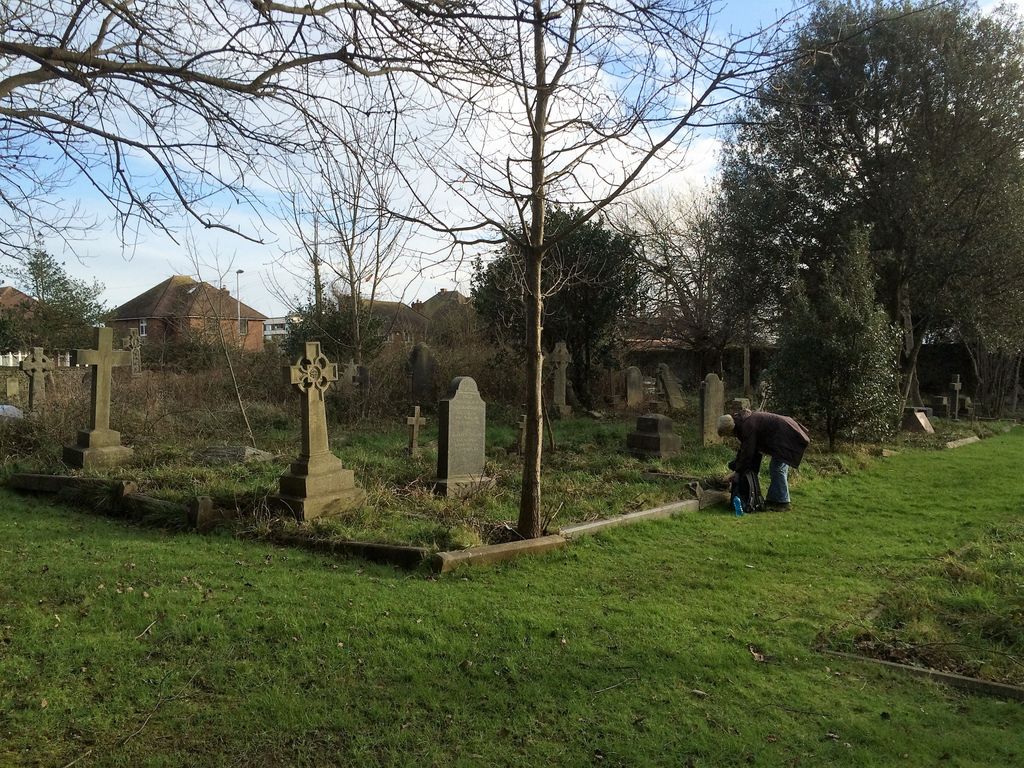
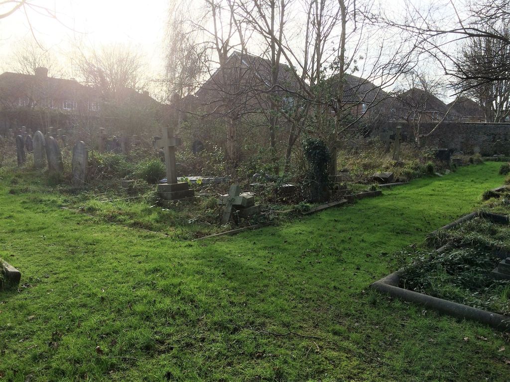
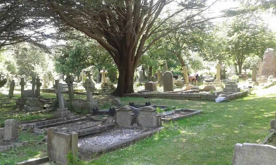
| Description | : | Located on the corner of St Michael's. |
frequently asked questions (FAQ):
-
Where is Heene Cemetery?
Heene Cemetery is located at Manor Road Worthing, Worthing Borough ,West Sussex ,England.
-
Heene Cemetery cemetery's updated grave count on graveviews.com?
2 memorials
-
Where are the coordinates of the Heene Cemetery?
Latitude: 50.8121180
Longitude: -0.3881260

Nearby Cemetories:
1. Holy Trinity Churchyard
Worthing, Worthing Borough, England
Coordinate: 50.8112700, -0.3785000
2. St Matthew Churchyard
Worthing, Worthing Borough, England
Coordinate: 50.8178900, -0.3830100
3. St Mary of the Angels RC Church
Worthing, Worthing Borough, England
Coordinate: 50.8133800, -0.3774000
4. St Andrew the Apostle Churchyard
Worthing, Worthing Borough, England
Coordinate: 50.8153000, -0.3774100
5. Christ Church Churchyard
Worthing, Worthing Borough, England
Coordinate: 50.8131570, -0.3739420
6. St Andrew Churchyard
Tarring, Worthing Borough, England
Coordinate: 50.8247000, -0.3956000
7. Broadwater Cemetery
Worthing, Worthing Borough, England
Coordinate: 50.8277650, -0.3799460
8. St Marys Churchyard
Broadwater, Worthing Borough, England
Coordinate: 50.8277750, -0.3734920
9. The Catholic Church of Saint Charles Borromeo
Worthing Borough, England
Coordinate: 50.8206203, -0.3544798
10. St Mary Churchyard
Goring-by-Sea, Worthing Borough, England
Coordinate: 50.8129310, -0.4245400
11. Durrington Cemetery
Durrington, Worthing Borough, England
Coordinate: 50.8390820, -0.3934460
12. St. Mary's Churchyard
Sompting, Adur District, England
Coordinate: 50.8386030, -0.3518740
13. St Andrew's Churchyard
Ferring, Arun District, England
Coordinate: 50.8125800, -0.4482200
14. Lancing and Sompting Cemetery
Lancing, Adur District, England
Coordinate: 50.8405270, -0.3280020
15. St James the Less Churchyard Extension
Lancing, Adur District, England
Coordinate: 50.8367330, -0.3239250
16. St. James the Less Churchyard
Lancing, Adur District, England
Coordinate: 50.8378170, -0.3226110
17. Church of Saint Mary the Virgin
Clapham, Arun District, England
Coordinate: 50.8487294, -0.4446710
18. St John the Baptist Churchyard
Findon, Arun District, England
Coordinate: 50.8650400, -0.4148790
19. St John the Divine Churchyard
Patching, Arun District, England
Coordinate: 50.8485920, -0.4570270
20. Findon Cemetery
Findon, Arun District, England
Coordinate: 50.8678500, -0.4100500
21. Worthing Crematorium
Findon, Arun District, England
Coordinate: 50.8728370, -0.4085170
22. Landing College Chapel
Lancing, Adur District, England
Coordinate: 50.8459798, -0.3042240
23. St. Margaret's Parish Churchyard
Angmering, Arun District, England
Coordinate: 50.8289920, -0.4860946
24. St Mary the Virgin Churchyard
East Preston, Arun District, England
Coordinate: 50.8125610, -0.4897360