
| Memorials | : | 0 |
| Location | : | Woodwalton, Huntingdonshire District, England |
| Website | : | www.woodwalton.org.uk/ |
| Coordinate | : | 52.4239863, -0.2235789 |
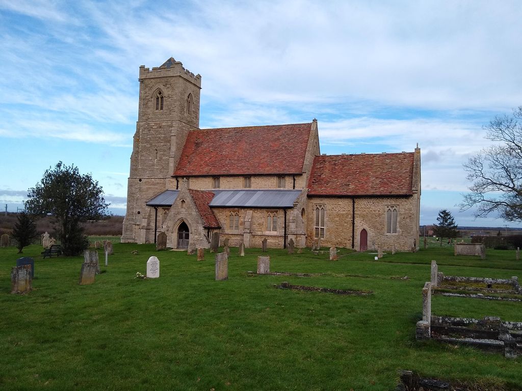
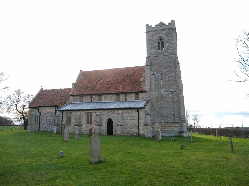
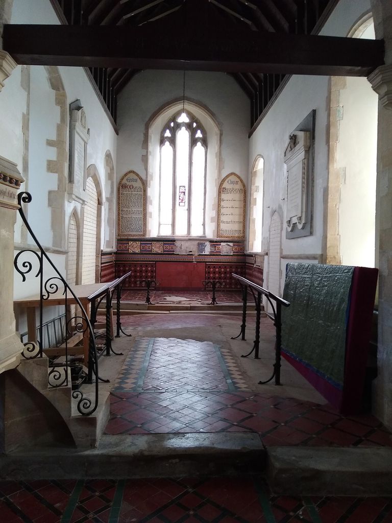
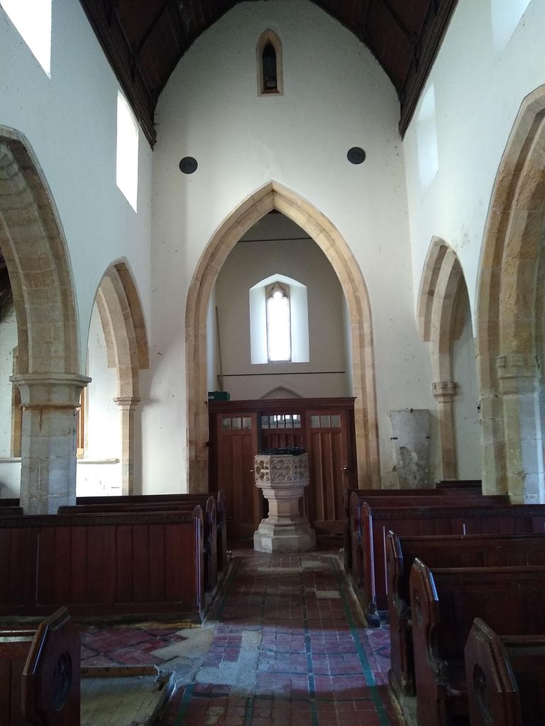
| Description | : | An isolated, redundant church about a 1 mile out of the village of Wood Walton, and is a few hundred metres from the main East Coast Mainline, and can be seen from the train. The church is recorded in the National Heritage List for England as a designated Grade II* listed building, and is under the care of the Friends of Friendless Churches. |
frequently asked questions (FAQ):
-
Where is St Andrew's Churchyard, Wood Walton?
St Andrew's Churchyard, Wood Walton is located at Church End Woodwalton, Huntingdonshire District ,Cambridgeshire , PE28 5YTEngland.
-
St Andrew's Churchyard, Wood Walton cemetery's updated grave count on graveviews.com?
0 memorials
-
Where are the coordinates of the St Andrew's Churchyard, Wood Walton?
Latitude: 52.4239863
Longitude: -0.2235789
Nearby Cemetories:
1. Sawtry Abbey
Sawtry, Huntingdonshire District, England
Coordinate: 52.4270330, -0.2411420
2. Sawtry St Andrew
Sawtry, Huntingdonshire District, England
Coordinate: 52.4406931, -0.2716515
3. Sawtry All Saints
Sawtry, Huntingdonshire District, England
Coordinate: 52.4410949, -0.2771430
4. St Andrew Churchyard
Abbots Ripton, Huntingdonshire District, England
Coordinate: 52.3863790, -0.1932260
5. All Saints Churchyard
Conington, Huntingdonshire District, England
Coordinate: 52.4581985, -0.2642000
6. Upwood Cemetery
Upwood, Huntingdonshire District, England
Coordinate: 52.4240800, -0.1525400
7. St.Margaret Churchyard
Upton, Huntingdonshire District, England
Coordinate: 52.3918700, -0.2753400
8. Holme Cemetery
Holme, Huntingdonshire District, England
Coordinate: 52.4726120, -0.2408410
9. St. Giles' Churchyard
Holme, Huntingdonshire District, England
Coordinate: 52.4767090, -0.2502880
10. St. Martin’s Churchyard
Little Stukeley, Huntingdonshire District, England
Coordinate: 52.3659040, -0.2252790
11. St. Peter & St. Paul Churchyard
Alconbury, Huntingdonshire District, England
Coordinate: 52.3697800, -0.2610200
12. St Nicholas Churchyard
Glatton, Huntingdonshire District, England
Coordinate: 52.4607440, -0.3035450
13. St. John the Baptist Churchyard
Wistow, Huntingdonshire District, England
Coordinate: 52.4117600, -0.1214880
14. St Peter Churchyard
Kings Ripton, Huntingdonshire District, England
Coordinate: 52.3725600, -0.1487900
15. All Saints Churchyard
Hamerton, Huntingdonshire District, England
Coordinate: 52.4028700, -0.3308800
16. St. Andrew's Churchyard
Steeple Gidding, Huntingdonshire District, England
Coordinate: 52.4184500, -0.3368200
17. All Saints Church
Buckworth, Huntingdonshire District, England
Coordinate: 52.3770200, -0.3147570
18. All Saints Churchyard
Broughton, Huntingdonshire District, England
Coordinate: 52.3842502, -0.1198858
19. Stilton Cemetery
Stilton, Huntingdonshire District, England
Coordinate: 52.4895230, -0.2923260
20. Ramsey Abbey
Ramsey, Huntingdonshire District, England
Coordinate: 52.4483330, -0.1008330
21. Wood Lane Cemetery
Ramsey, Huntingdonshire District, England
Coordinate: 52.4525800, -0.0994800
22. Great Gidding Baptist Church Cemetery
Great Gidding, Huntingdonshire District, England
Coordinate: 52.4336468, -0.3575526
23. St Mary Magdalene Churchyard
Warboys, Huntingdonshire District, England
Coordinate: 52.4012820, -0.0867350
24. St. Mary Churchyard
Woolley, Metropolitan Borough of Wakefield, England
Coordinate: 52.3565791, -0.3125185