
| Memorials | : | 0 |
| Location | : | Ramsey, Huntingdonshire District, England |
| Coordinate | : | 52.4483330, -0.1008330 |
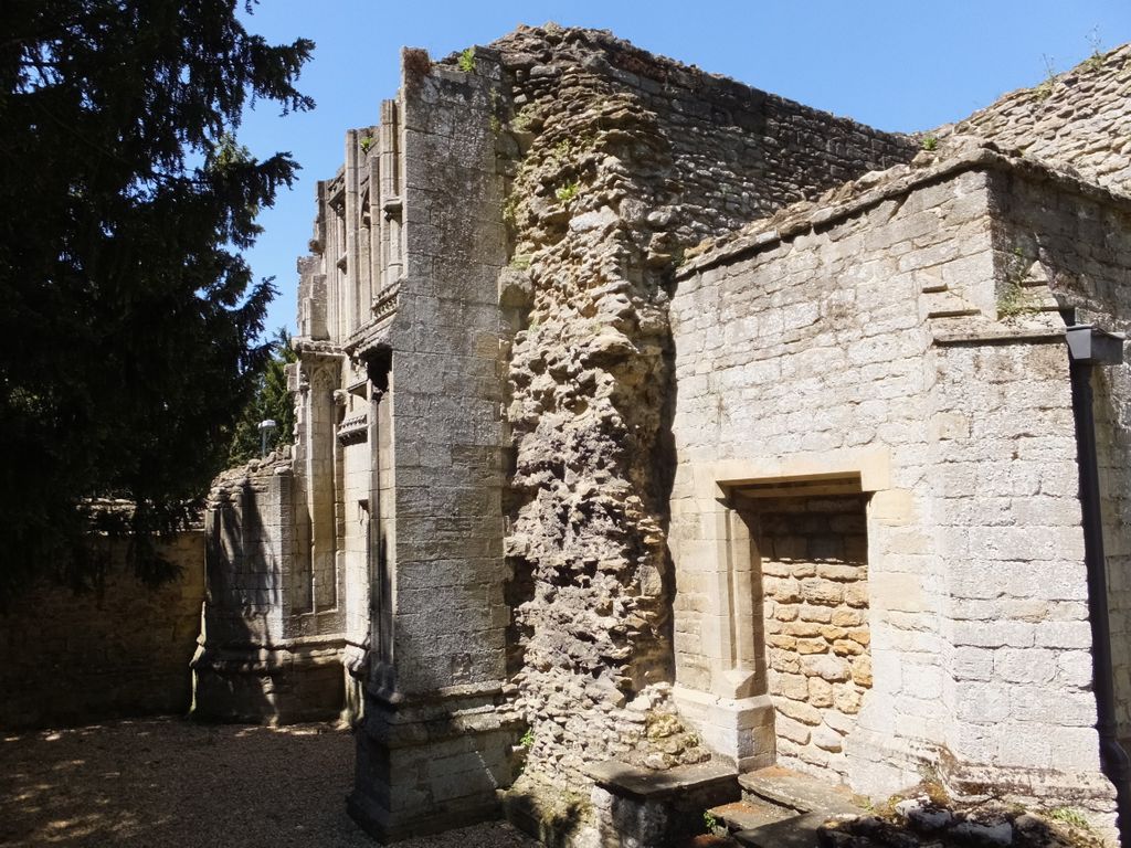
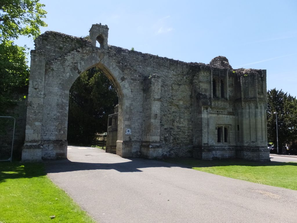
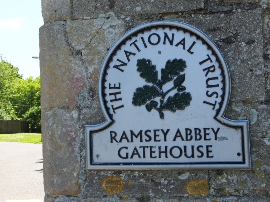
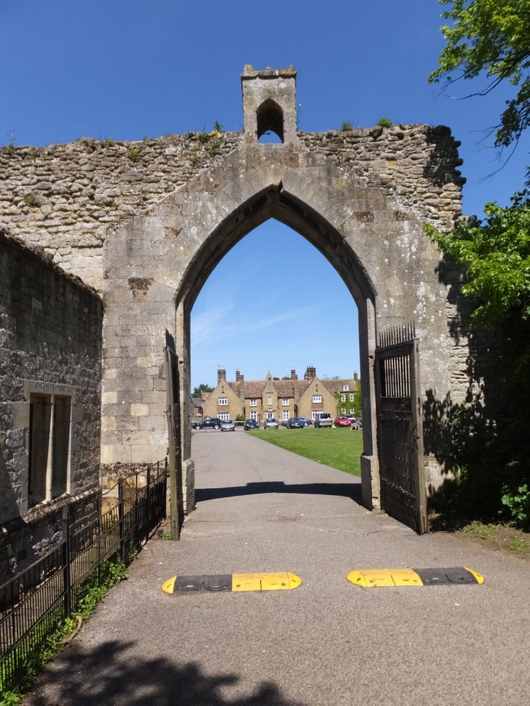
| Description | : | Ramsey Abbey was founded in 969 by Saint Oswald, Bishop of Worcester through the gift of a local magnate, Æthelwine. The foundation was part of the mid-10th century monastic revival. It paid 4000 eels yearly in Lent to Peterborough Abbey for access to its quarries of Barnack limestone. A Prior and twelve monks formed the original foundation. The Abbey itself was then situated on a peninsula of gravel, known as Bodsey Island, with the impassable fen to three sides. The chapel was replaced by a large, stone-built church over the next five years and thus remained until the Norman Abbot created... Read More |
frequently asked questions (FAQ):
-
Where is Ramsey Abbey?
Ramsey Abbey is located at Ramsey, Huntingdonshire District ,Cambridgeshire ,England.
-
Ramsey Abbey cemetery's updated grave count on graveviews.com?
0 memorials
-
Where are the coordinates of the Ramsey Abbey?
Latitude: 52.4483330
Longitude: -0.1008330
Nearby Cemetories:
1. Wood Lane Cemetery
Ramsey, Huntingdonshire District, England
Coordinate: 52.4525800, -0.0994800
2. St. John the Baptist Churchyard
Wistow, Huntingdonshire District, England
Coordinate: 52.4117600, -0.1214880
3. Upwood Cemetery
Upwood, Huntingdonshire District, England
Coordinate: 52.4240800, -0.1525400
4. Warboys Grace Baptist Churchyard
Warboys, Huntingdonshire District, England
Coordinate: 52.4043400, -0.0774800
5. St Mary Magdalene Churchyard
Warboys, Huntingdonshire District, England
Coordinate: 52.4012820, -0.0867350
6. Warboys Church Cemetery
Warboys, Huntingdonshire District, England
Coordinate: 52.3983080, -0.0875820
7. St. Mary's Churchyard
Ramsey Saint Marys, Huntingdonshire District, England
Coordinate: 52.4688020, -0.0153334
8. All Saints Churchyard
Broughton, Huntingdonshire District, England
Coordinate: 52.3842502, -0.1198858
9. Benwick Cemetery
Benwick, Fenland District, England
Coordinate: 52.4967300, -0.0259400
10. St. Thomas Churchyard
Pondersbridge, Fenland District, England
Coordinate: 52.5107400, -0.1427800
11. All Saints Churchyard
Pidley, Huntingdonshire District, England
Coordinate: 52.3863792, -0.0513670
12. St Peter's Churchyard
Huntingdonshire District, England
Coordinate: 52.3782650, -0.0914604
13. St Andrew's Churchyard, Wood Walton
Woodwalton, Huntingdonshire District, England
Coordinate: 52.4239863, -0.2235789
14. St Peter Churchyard
Kings Ripton, Huntingdonshire District, England
Coordinate: 52.3725600, -0.1487900
15. St Andrew Churchyard
Abbots Ripton, Huntingdonshire District, England
Coordinate: 52.3863790, -0.1932260
16. Sawtry Abbey
Sawtry, Huntingdonshire District, England
Coordinate: 52.4270330, -0.2411420
17. Holme Cemetery
Holme, Huntingdonshire District, England
Coordinate: 52.4726120, -0.2408410
18. St. Peter & St. Paul Churchyard
Chatteris, Fenland District, England
Coordinate: 52.4547000, 0.0510900
19. Meeks Cemetery
Chatteris, Fenland District, England
Coordinate: 52.4579050, 0.0530000
20. St. Giles' Churchyard
Holme, Huntingdonshire District, England
Coordinate: 52.4767090, -0.2502880
21. Parochial Cemetery
Chatteris, Fenland District, England
Coordinate: 52.4571990, 0.0582040
22. All Saints Churchyard
Conington, Huntingdonshire District, England
Coordinate: 52.4581985, -0.2642000
23. Sawtry St Andrew
Sawtry, Huntingdonshire District, England
Coordinate: 52.4406931, -0.2716515
24. Ramsey Road Cemetery
St Ives, Huntingdonshire District, England
Coordinate: 52.3442700, -0.0854900