
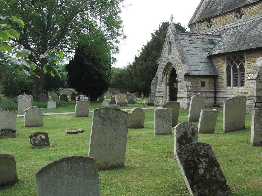
| Memorials | : | 0 |
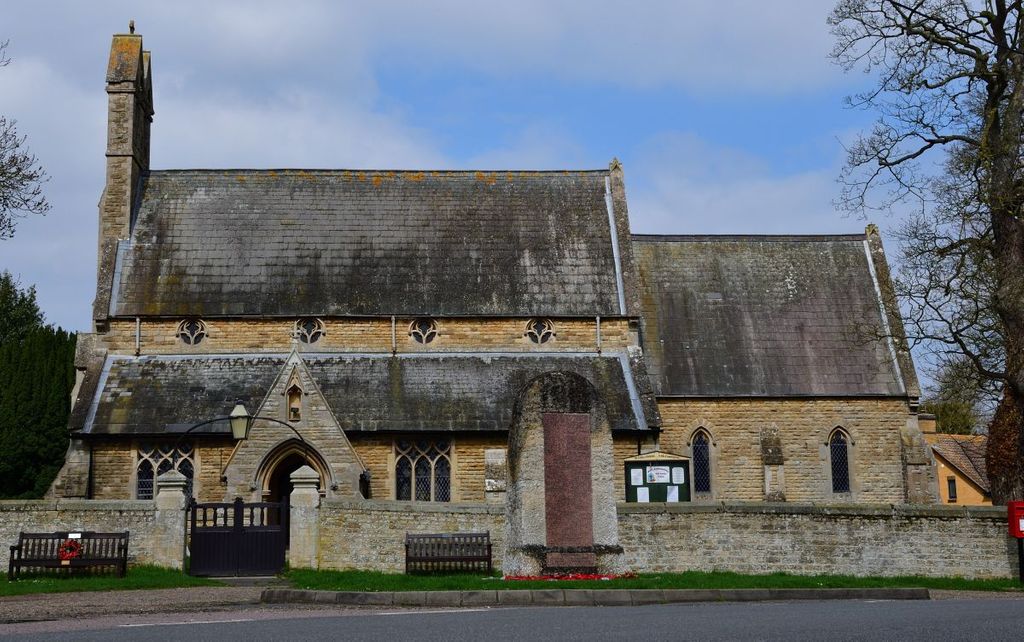
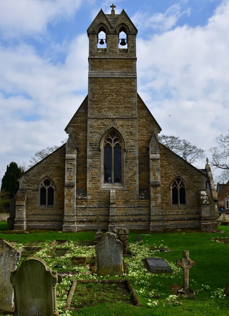
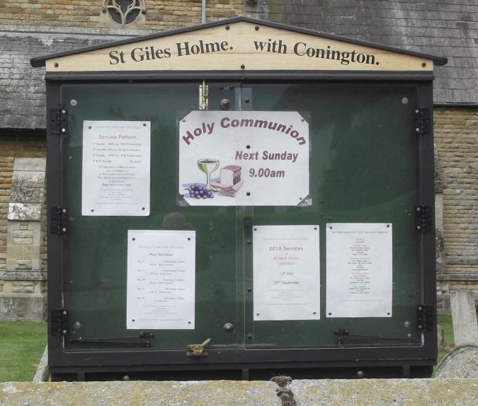
| Location | : | Holme, Huntingdonshire District, England |
| Coordinate | : | 52.4767090, -0.2502880 |
frequently asked questions (FAQ):
-
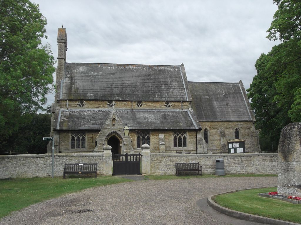
Where is St. Giles' Churchyard?
St. Giles' Churchyard is located at Holme, Huntingdonshire District ,Cambridgeshire ,England.
-
St. Giles' Churchyard cemetery's updated grave count on graveviews.com?
0 memorials
-
Where are the coordinates of the St. Giles' Churchyard?
Latitude: 52.4767090
Longitude: -0.2502880
Nearby Cemetories:
1. Holme Cemetery
Holme, Huntingdonshire District, England
Coordinate: 52.4726120, -0.2408410
2. All Saints Churchyard
Conington, Huntingdonshire District, England
Coordinate: 52.4581985, -0.2642000
3. Stilton Cemetery
Stilton, Huntingdonshire District, England
Coordinate: 52.4895230, -0.2923260
4. St Nicholas Churchyard
Glatton, Huntingdonshire District, England
Coordinate: 52.4607440, -0.3035450
5. Saint Peter's Churchyard
Yaxley, Huntingdonshire District, England
Coordinate: 52.5117400, -0.2672200
6. Sawtry St Andrew
Sawtry, Huntingdonshire District, England
Coordinate: 52.4406931, -0.2716515
7. Yaxley Cemetery
Peterborough, Peterborough Unitary Authority, England
Coordinate: 52.5137400, -0.2700500
8. Sawtry All Saints
Sawtry, Huntingdonshire District, England
Coordinate: 52.4410949, -0.2771430
9. Sawtry Abbey
Sawtry, Huntingdonshire District, England
Coordinate: 52.4270330, -0.2411420
10. All Saints
Morborne, Huntingdonshire District, England
Coordinate: 52.5094990, -0.3228910
11. St Andrew's Churchyard, Wood Walton
Woodwalton, Huntingdonshire District, England
Coordinate: 52.4239863, -0.2235789
12. St. Mary's Churchyard
Peterborough, Peterborough Unitary Authority, England
Coordinate: 52.5184227, -0.3295881
13. St. Thomas Churchyard
Pondersbridge, Fenland District, England
Coordinate: 52.5107400, -0.1427800
14. Stanground Cemetery
Stanground, Peterborough Unitary Authority, England
Coordinate: 52.5516860, -0.2273100
15. Great Gidding Baptist Church Cemetery
Great Gidding, Huntingdonshire District, England
Coordinate: 52.4336468, -0.3575526
16. St. Andrew's Churchyard
Steeple Gidding, Huntingdonshire District, England
Coordinate: 52.4184500, -0.3368200
17. Upwood Cemetery
Upwood, Huntingdonshire District, England
Coordinate: 52.4240800, -0.1525400
18. St. Margaret's churchyard
Fletton, Peterborough Unitary Authority, England
Coordinate: 52.5584400, -0.2350100
19. Woodston Cemetery
Woodston, Peterborough Unitary Authority, England
Coordinate: 52.5607090, -0.2529700
20. Fletton Cemetery
Fletton, Peterborough Unitary Authority, England
Coordinate: 52.5611534, -0.2350550
21. All Saints at Botolphbridge (Not Extant)
Orton Longueville, Peterborough Unitary Authority, England
Coordinate: 52.5615344, -0.2731584
22. St.Margaret Churchyard
Upton, Huntingdonshire District, England
Coordinate: 52.3918700, -0.2753400
23. St. Andrew's Church
Alwalton, Huntingdonshire District, England
Coordinate: 52.5495800, -0.3297610
24. St. Michael's Churchyard
Chesterton, Huntingdonshire District, England
Coordinate: 52.5451434, -0.3400366