
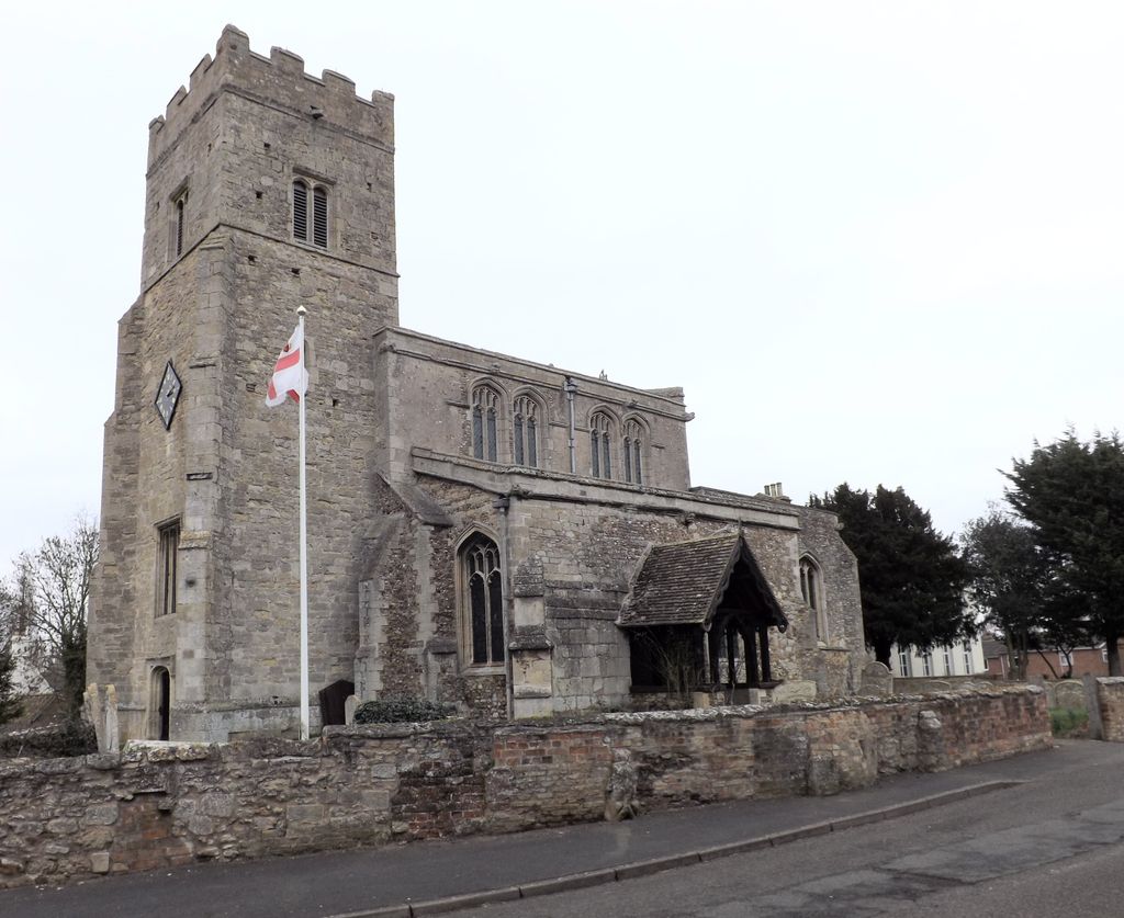
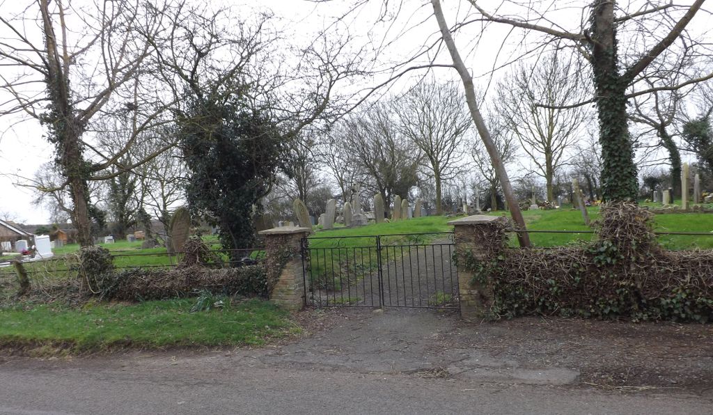
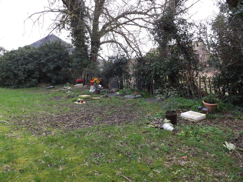
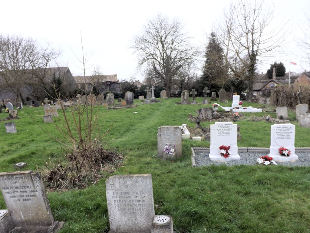
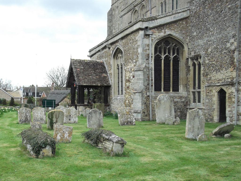
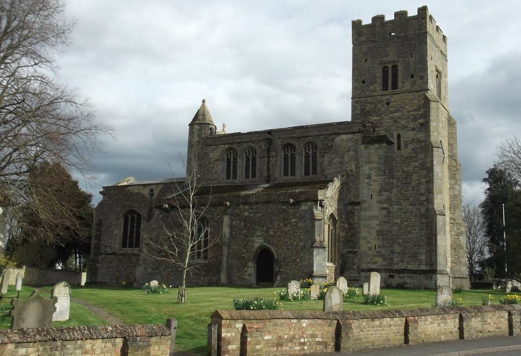
| Memorials | : | 0 |
| Location | : | Wistow, Huntingdonshire District, England |
| Coordinate | : | 52.4117600, -0.1214880 |
frequently asked questions (FAQ):
-
Where is St. John the Baptist Churchyard?
St. John the Baptist Churchyard is located at Wistow, Huntingdonshire District ,Cambridgeshire ,England.
-
St. John the Baptist Churchyard cemetery's updated grave count on graveviews.com?
0 memorials
-
Where are the coordinates of the St. John the Baptist Churchyard?
Latitude: 52.4117600
Longitude: -0.1214880
Nearby Cemetories:
1. Upwood Cemetery
Upwood, Huntingdonshire District, England
Coordinate: 52.4240800, -0.1525400
2. St Mary Magdalene Churchyard
Warboys, Huntingdonshire District, England
Coordinate: 52.4012820, -0.0867350
3. Warboys Church Cemetery
Warboys, Huntingdonshire District, England
Coordinate: 52.3983080, -0.0875820
4. All Saints Churchyard
Broughton, Huntingdonshire District, England
Coordinate: 52.3842502, -0.1198858
5. Warboys Grace Baptist Churchyard
Warboys, Huntingdonshire District, England
Coordinate: 52.4043400, -0.0774800
6. St Peter's Churchyard
Huntingdonshire District, England
Coordinate: 52.3782650, -0.0914604
7. Ramsey Abbey
Ramsey, Huntingdonshire District, England
Coordinate: 52.4483330, -0.1008330
8. St Peter Churchyard
Kings Ripton, Huntingdonshire District, England
Coordinate: 52.3725600, -0.1487900
9. Wood Lane Cemetery
Ramsey, Huntingdonshire District, England
Coordinate: 52.4525800, -0.0994800
10. All Saints Churchyard
Pidley, Huntingdonshire District, England
Coordinate: 52.3863792, -0.0513670
11. St Andrew Churchyard
Abbots Ripton, Huntingdonshire District, England
Coordinate: 52.3863790, -0.1932260
12. St Andrew's Churchyard, Wood Walton
Woodwalton, Huntingdonshire District, England
Coordinate: 52.4239863, -0.2235789
13. Ramsey Road Cemetery
St Ives, Huntingdonshire District, England
Coordinate: 52.3442700, -0.0854900
14. Sawtry Abbey
Sawtry, Huntingdonshire District, England
Coordinate: 52.4270330, -0.2411420
15. Houghton and Wyton Burial Ground
Wyton, Huntingdonshire District, England
Coordinate: 52.3352100, -0.1135900
16. St. Martin’s Churchyard
Little Stukeley, Huntingdonshire District, England
Coordinate: 52.3659040, -0.2252790
17. St Margaret and All Saints Churchyard
Wyton, Huntingdonshire District, England
Coordinate: 52.3335810, -0.1257620
18. All Saints Churchyard
Huntingdon, Huntingdonshire District, England
Coordinate: 52.3366363, -0.1607257
19. Houghton Chapel
Houghton, Huntingdonshire District, England
Coordinate: 52.3322400, -0.1219200
20. St Mary The Virgin
Houghton, Huntingdonshire District, England
Coordinate: 52.3320200, -0.1213200
21. Primrose Lane Lawn Cemetery
Huntingdonshire District, England
Coordinate: 52.3334666, -0.1760611
22. Priory Road Cemetery
Huntingdon, Huntingdonshire District, England
Coordinate: 52.3334320, -0.1796500
23. St. Mary's Churchyard
Ramsey Saint Marys, Huntingdonshire District, England
Coordinate: 52.4688020, -0.0153334
24. St Ives Church Cemetery
St Ives, Huntingdonshire District, England
Coordinate: 52.3287800, -0.0821800