
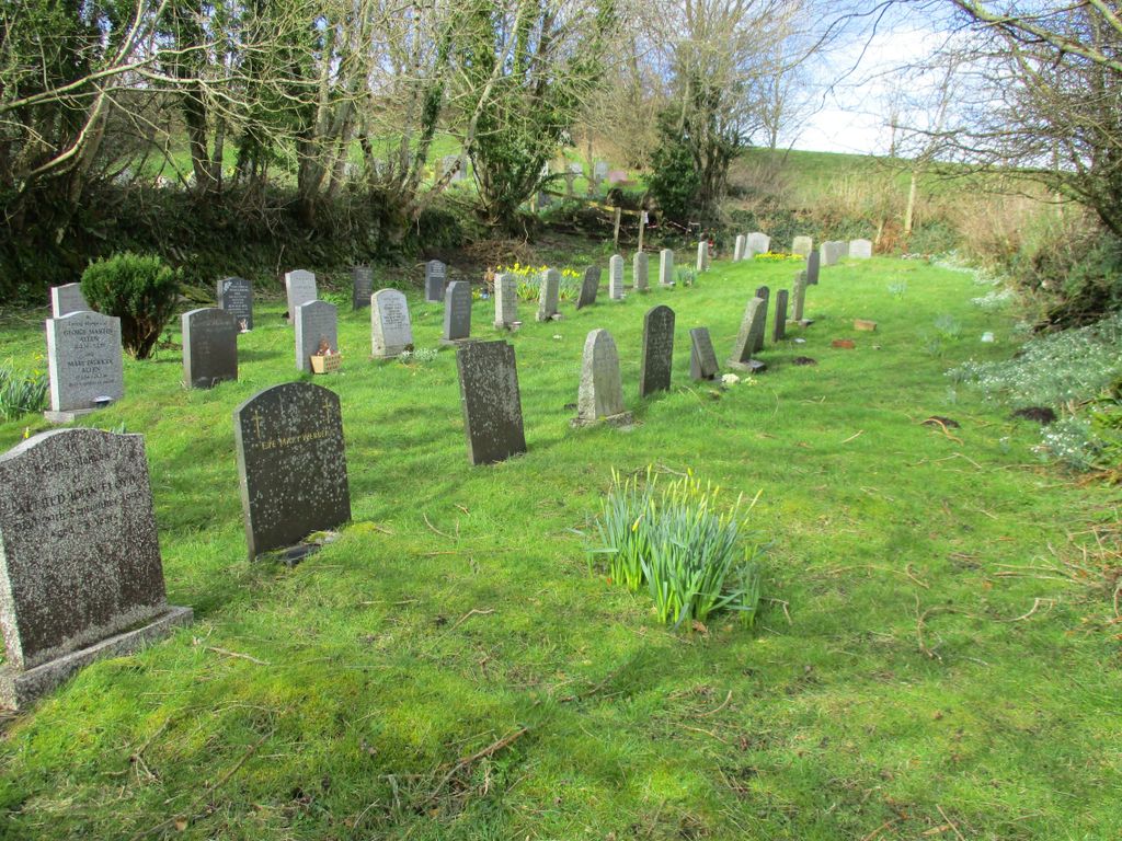
| Memorials | : | 1 |
| Location | : | Brendon, North Devon District, England |
| Coordinate | : | 51.2149390, -3.7910490 |
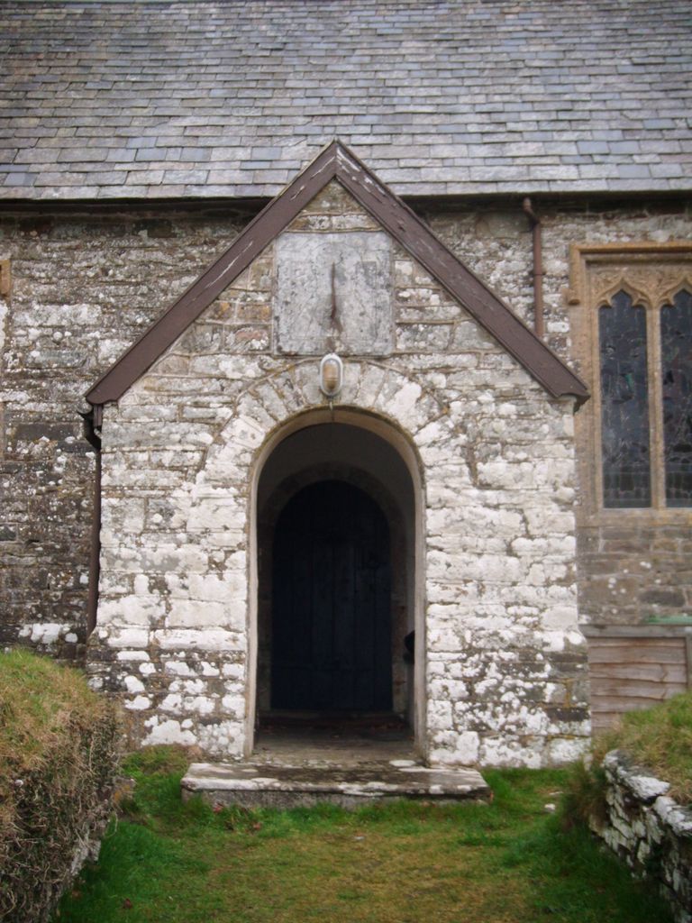
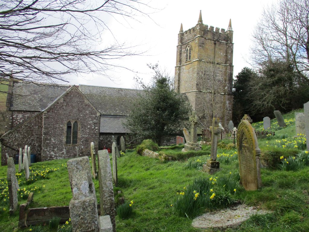
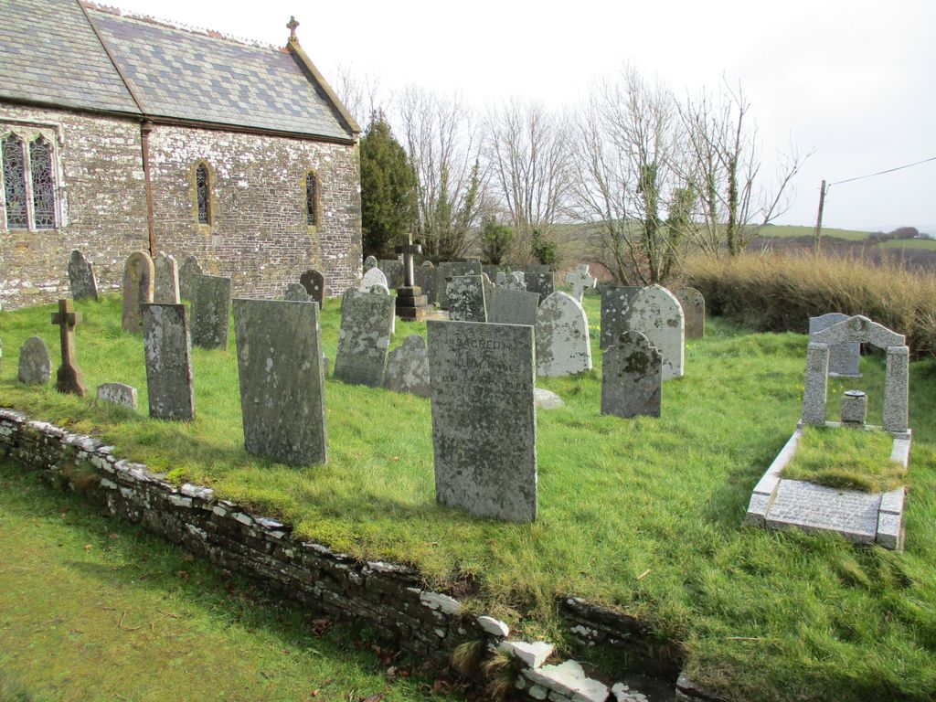
| Description | : | Lying in the East Lyn Valley, close to the Somerset border within Exmoor National Park is the village of Brendon. It's Grade II listed Church - St. Brendan's - though, is some two miles west from the village. It was originally built at Cheriton during the reign of King Henry II and re-built in it's current position ~ with land gifted from the Chichester family ~ in 1738, possibly using the same stones, foundations of the original can still be seen though overgrown. St. Brendan's has a nave, chancel, and south porch, the tower was rebuilt in 1828, the whole... Read More |
frequently asked questions (FAQ):
-
Where is St. Brendon's Churchyard?
St. Brendon's Churchyard is located at Brendon, North Devon District ,Devon ,England.
-
St. Brendon's Churchyard cemetery's updated grave count on graveviews.com?
1 memorials
-
Where are the coordinates of the St. Brendon's Churchyard?
Latitude: 51.2149390
Longitude: -3.7910490


Nearby Cemetories:
1. St. Mary the Virgin Churchyard
Lynton, North Devon District, England
Coordinate: 51.2298700, -3.8339800
2. Lynton New Cemetery
Lynton, North Devon District, England
Coordinate: 51.2293000, -3.8453100
3. St. Mary the Virgin Churchyard
Oare, West Somerset District, England
Coordinate: 51.2124350, -3.7164290
4. St Petrock Graveyard
Parracombe, North Devon District, England
Coordinate: 51.1883600, -3.8977900
5. St.Luke's Churchyard
Simonsbath, West Somerset District, England
Coordinate: 51.1408600, -3.7514560
6. Culbone St. Bueno's Churchyard
Oare, West Somerset District, England
Coordinate: 51.2213640, -3.6594820
7. Stoke Pero Churchyard
Porlock, West Somerset District, England
Coordinate: 51.1796510, -3.6060674
8. St Dubricius Churchyard
Porlock, West Somerset District, England
Coordinate: 51.2083000, -3.5955000
9. Porlock Cemetery
Porlock, West Somerset District, England
Coordinate: 51.2033790, -3.5954070
10. St. Mary Magdalene Churchyard
Exford, West Somerset District, England
Coordinate: 51.1341450, -3.6342160
11. All Saints Churchyard
Brayford, North Devon District, England
Coordinate: 51.0931990, -3.8724700
12. Saint James Churchyard
Arlington, North Devon District, England
Coordinate: 51.1467000, -3.9844000
13. Saint Andrew's Churchyard
Withypool, West Somerset District, England
Coordinate: 51.1078060, -3.6492700
14. East Down Church Cemetery
East Down, North Devon District, England
Coordinate: 51.1583410, -4.0016460
15. St. John The Baptist Churchyard
Charles, North Devon District, England
Coordinate: 51.0809305, -3.8751413
16. Luccombe Extension Cemetery
Luccombe, West Somerset District, England
Coordinate: 51.1897360, -3.5609100
17. St. Mary's Churchyard
Luccombe, West Somerset District, England
Coordinate: 51.1895770, -3.5596880
18. St. Peter's Churchyard
Combe Martin, North Devon District, England
Coordinate: 51.1982700, -4.0248300
19. Selworthy Extension Cemeteries
Selworthy, West Somerset District, England
Coordinate: 51.2098330, -3.5481240
20. All Saints Churchyard
Selworthy, West Somerset District, England
Coordinate: 51.2101800, -3.5475440
21. All Saints Churchyard
North Molton, North Devon District, England
Coordinate: 51.0549970, -3.8039230
22. St Peter Churchyard
Shirwell, North Devon District, England
Coordinate: 51.1189770, -4.0048830
23. St. Peter's Churchyard
Berrynarbor, North Devon District, England
Coordinate: 51.2013280, -4.0620470
24. All Saints Churchyard
Wootton Courtenay, West Somerset District, England
Coordinate: 51.1801840, -3.5203550