
| Memorials | : | 0 |
| Location | : | West Grinstead, Horsham District, England |
| Coordinate | : | 50.9736360, -0.3336990 |
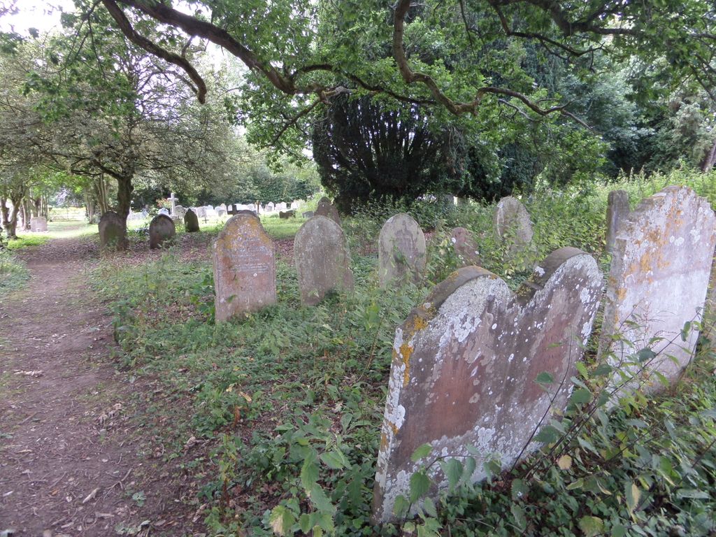
| Description | : | West Grinstead is a village and civil parish in the Horsham District of West Sussex, England. It lies just off the B2135 road four miles (6.3 km) northwest from Henfield.It is within the ancient division of the Rape of Bramber The village should not be confused with the much larger town of East Grinstead which lies 17.5 miles (28 km) to the north-east. St George's Church was first built circa 1100 AD and is the Anglican place of worship, and the Church of England parish church. Added By Wertypop |
frequently asked questions (FAQ):
-
Where is St George Churchyard?
St George Churchyard is located at Rectory Lane West Grinstead, Horsham District ,West Sussex , RH13 8LREngland.
-
St George Churchyard cemetery's updated grave count on graveviews.com?
0 memorials
-
Where are the coordinates of the St George Churchyard?
Latitude: 50.9736360
Longitude: -0.3336990


Nearby Cemetories:
1. Our Lady Of Consolation and St Francis Churchyard
West Grinstead, Horsham District, England
Coordinate: 50.9779220, -0.3245590
2. St Michael and All Angels Churchyard
West Grinstead, Horsham District, England
Coordinate: 50.9619680, -0.3081750
3. St Michael & All Angels Churchyard
Partridge Green, Horsham District, England
Coordinate: 50.9618600, -0.3081540
4. St Mary the Virgin Churchyard
Shipley, Horsham District, England
Coordinate: 50.9842530, -0.3701900
5. St Hugh's Charterhouse
Horsham, Horsham District, England
Coordinate: 50.9730110, -0.2827360
6. St James Churchyard
Ashurst, Horsham District, England
Coordinate: 50.9347992, -0.3273070
7. St Peter Churchyard
Cowfold, Horsham District, England
Coordinate: 50.9898500, -0.2740200
8. St Giles Churchyard
Shermanbury, Horsham District, England
Coordinate: 50.9561320, -0.2726010
9. St Andrew Churchyard
Nuthurst, Horsham District, England
Coordinate: 51.0222790, -0.3010080
10. The Church of the Holy Innocents Cemetery
Southwater, Horsham District, England
Coordinate: 51.0244290, -0.3576390
11. Southwater Parish Cemetery
Southwater, Horsham District, England
Coordinate: 51.0245167, -0.3574486
12. Henfield Cemetery
Henfield, Horsham District, England
Coordinate: 50.9342000, -0.2764400
13. Holy Innocents Churchyard
Southwater, Horsham District, England
Coordinate: 51.0252410, -0.3584748
14. St Peter's Churchyard
Henfield, Horsham District, England
Coordinate: 50.9323340, -0.2762030
15. Holy Sepulchre Churchyard
Warminghurst, Horsham District, England
Coordinate: 50.9402980, -0.4113760
16. St. Mary's Churchyard
Thakeham, Horsham District, England
Coordinate: 50.9446420, -0.4213350
17. Blue Idol Quaker Burying Ground
Thakeham, Horsham District, England
Coordinate: 50.9986257, -0.4249232
18. All Saints Churchyard
Wiston, Horsham District, England
Coordinate: 50.9132350, -0.3725910
19. St Peters Churchyard
Twineham, Mid Sussex District, England
Coordinate: 50.9657310, -0.2174410
20. St Peter's Churchyard
Woodmancote, Horsham District, England
Coordinate: 50.9213180, -0.2497350
21. Holy Trinity Churchyard
Lower Beeding, Horsham District, England
Coordinate: 51.0331850, -0.2610280
22. St. Mary's Churchyard
West Chiltington, Horsham District, England
Coordinate: 50.9542360, -0.4492980
23. St Mary Churchyard
Wiston, Horsham District, England
Coordinate: 50.8995280, -0.3582890
24. St Nicolas Churchyard
Itchingfield, Horsham District, England
Coordinate: 51.0485300, -0.3867900