
| Memorials | : | 0 |
| Location | : | Wiston, Horsham District, England |
| Coordinate | : | 50.9132350, -0.3725910 |
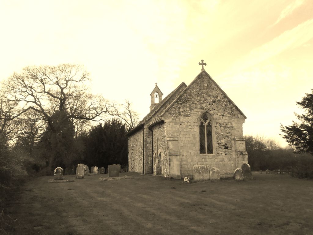
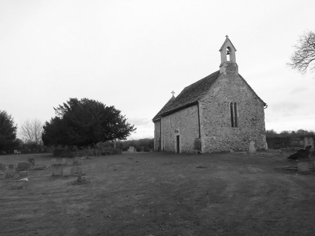
| Description | : | All Saints Church is an Anglican church in the hamlet of Buncton in the district of Horsham, one of seven local government districts in the English county of West Sussex. Built in the 11th or 12th century as a small chapel of ease to a nearby parish church, and hardly changed or restored since, the stone chapel stands behind a "delightful ... wooded ravine" beneath the South Downs and has been called "a real piece of hidden Sussex". The chancel arch, between the nave and chancel which made up the simple two-room building, had a bizarre 12th-century carving of a... Read More |
frequently asked questions (FAQ):
-
Where is All Saints Churchyard?
All Saints Churchyard is located at Water Lane (Bucton) Wiston, Horsham District ,West Sussex , BN44 3DXEngland.
-
All Saints Churchyard cemetery's updated grave count on graveviews.com?
0 memorials
-
Where are the coordinates of the All Saints Churchyard?
Latitude: 50.9132350
Longitude: -0.3725910


Nearby Cemetories:
1. St Mary Churchyard
Wiston, Horsham District, England
Coordinate: 50.8995280, -0.3582890
2. St Mary's Churchyard Extension
Washington, Horsham District, England
Coordinate: 50.9036269, -0.4089782
3. St. Mary's Parish Churchyard
Washington, Horsham District, England
Coordinate: 50.9043450, -0.4103140
4. St James Churchyard
Ashurst, Horsham District, England
Coordinate: 50.9347992, -0.3273070
5. Holy Sepulchre Churchyard
Warminghurst, Horsham District, England
Coordinate: 50.9402980, -0.4113760
6. St Andrew and St Cuthman Churchyard
Steyning, Horsham District, England
Coordinate: 50.8900700, -0.3250280
7. Saint Marys Churchyard
Sullington, Horsham District, England
Coordinate: 50.9070090, -0.4391640
8. St. Mary's Churchyard
Thakeham, Horsham District, England
Coordinate: 50.9446420, -0.4213350
9. Worthing Crematorium
Findon, Arun District, England
Coordinate: 50.8728370, -0.4085170
10. St Nicholas Churchyard
Bramber, Horsham District, England
Coordinate: 50.8828660, -0.3153580
11. St Peter Churchyard
Upper Beeding, Horsham District, England
Coordinate: 50.8873530, -0.3056540
12. Findon Cemetery
Findon, Arun District, England
Coordinate: 50.8678500, -0.4100500
13. St. Mary's Churchyard
Storrington, Horsham District, England
Coordinate: 50.9160360, -0.4566160
14. St John the Baptist Churchyard
Findon, Arun District, England
Coordinate: 50.8650400, -0.4148790
15. Our Lady of England Churchyard
Storrington, Horsham District, England
Coordinate: 50.9164980, -0.4599130
16. St Botolph's
Boto By, Guldborgsund Kommune, Denmark
Coordinate: 50.8704488, -0.3049848
17. Botolph Cemetery
Steyning, Horsham District, England
Coordinate: 50.8698470, -0.3051070
18. St Michael & All Angels Churchyard
Partridge Green, Horsham District, England
Coordinate: 50.9618600, -0.3081540
19. St. Mary's Churchyard
West Chiltington, Horsham District, England
Coordinate: 50.9542360, -0.4492980
20. St Michael and All Angels Churchyard
West Grinstead, Horsham District, England
Coordinate: 50.9619680, -0.3081750
21. St Peter's Churchyard
Henfield, Horsham District, England
Coordinate: 50.9323340, -0.2762030
22. Henfield Cemetery
Henfield, Horsham District, England
Coordinate: 50.9342000, -0.2764400
23. St George Churchyard
West Grinstead, Horsham District, England
Coordinate: 50.9736360, -0.3336990
24. Coombes Churchyard
Coombes, Adur District, England
Coordinate: 50.8611730, -0.3082180