
| Memorials | : | 1874 |
| Location | : | Chipping Campden, Cotswold District, England |
| Coordinate | : | 52.0532670, -1.7758760 |
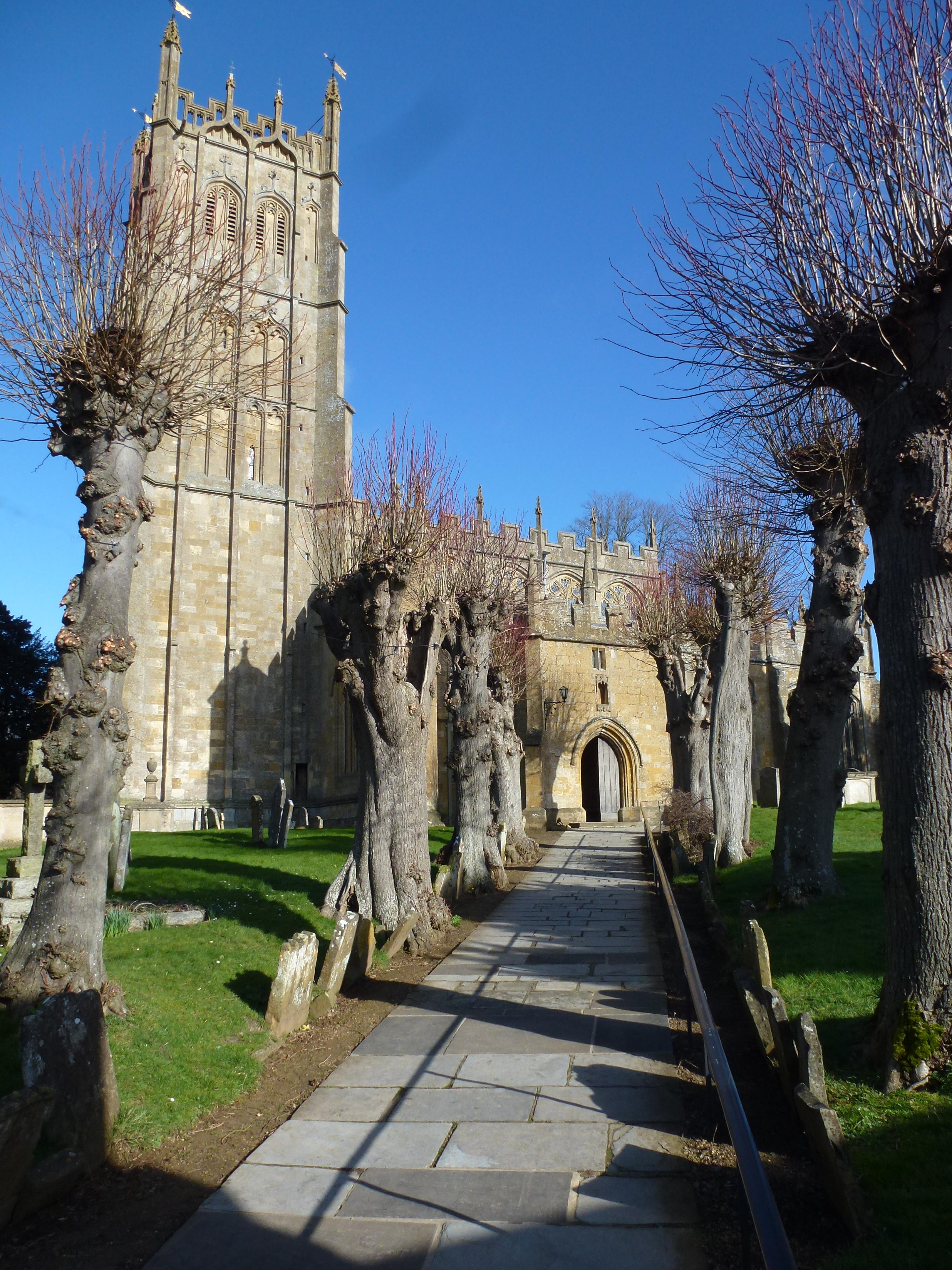
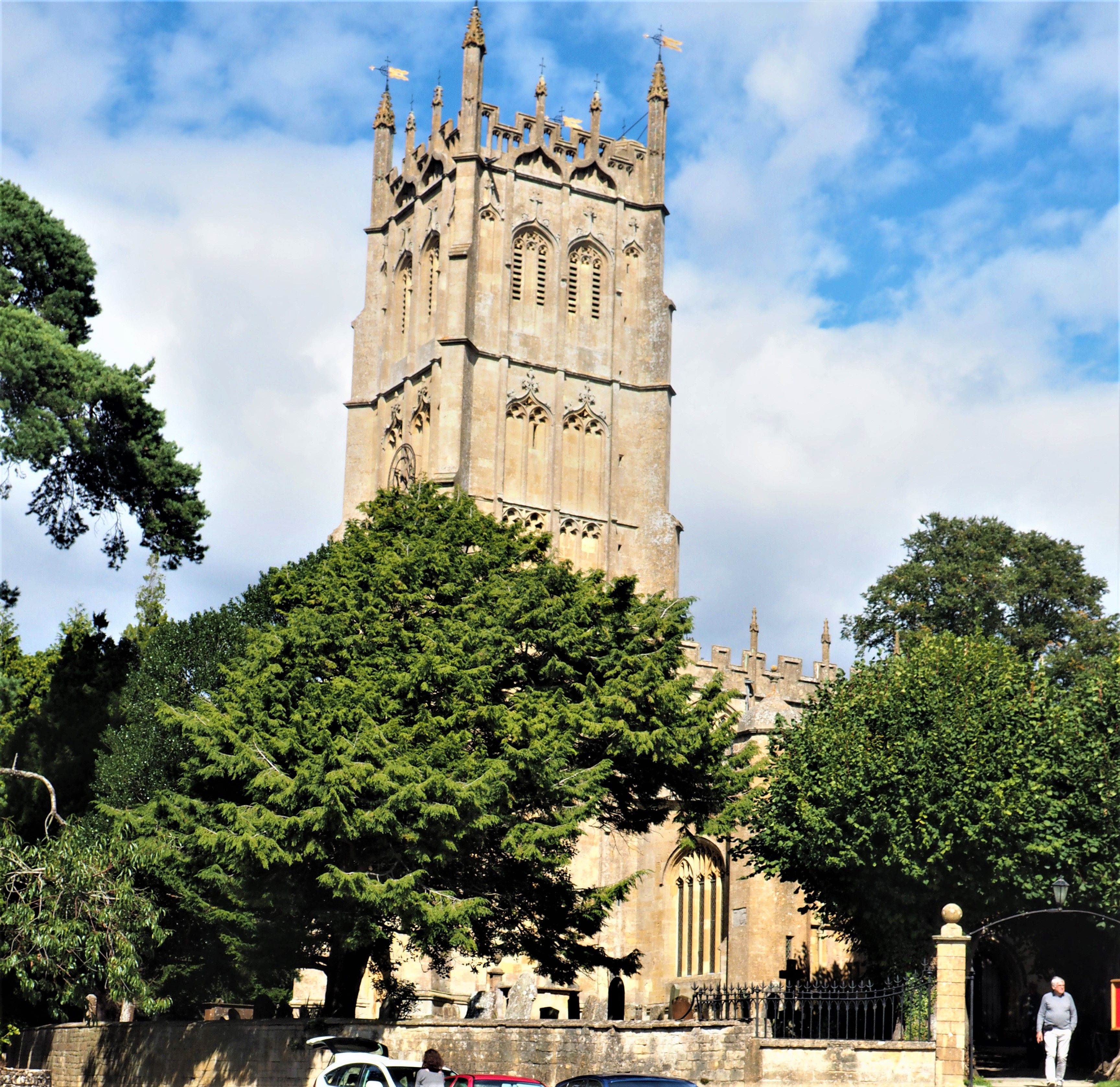
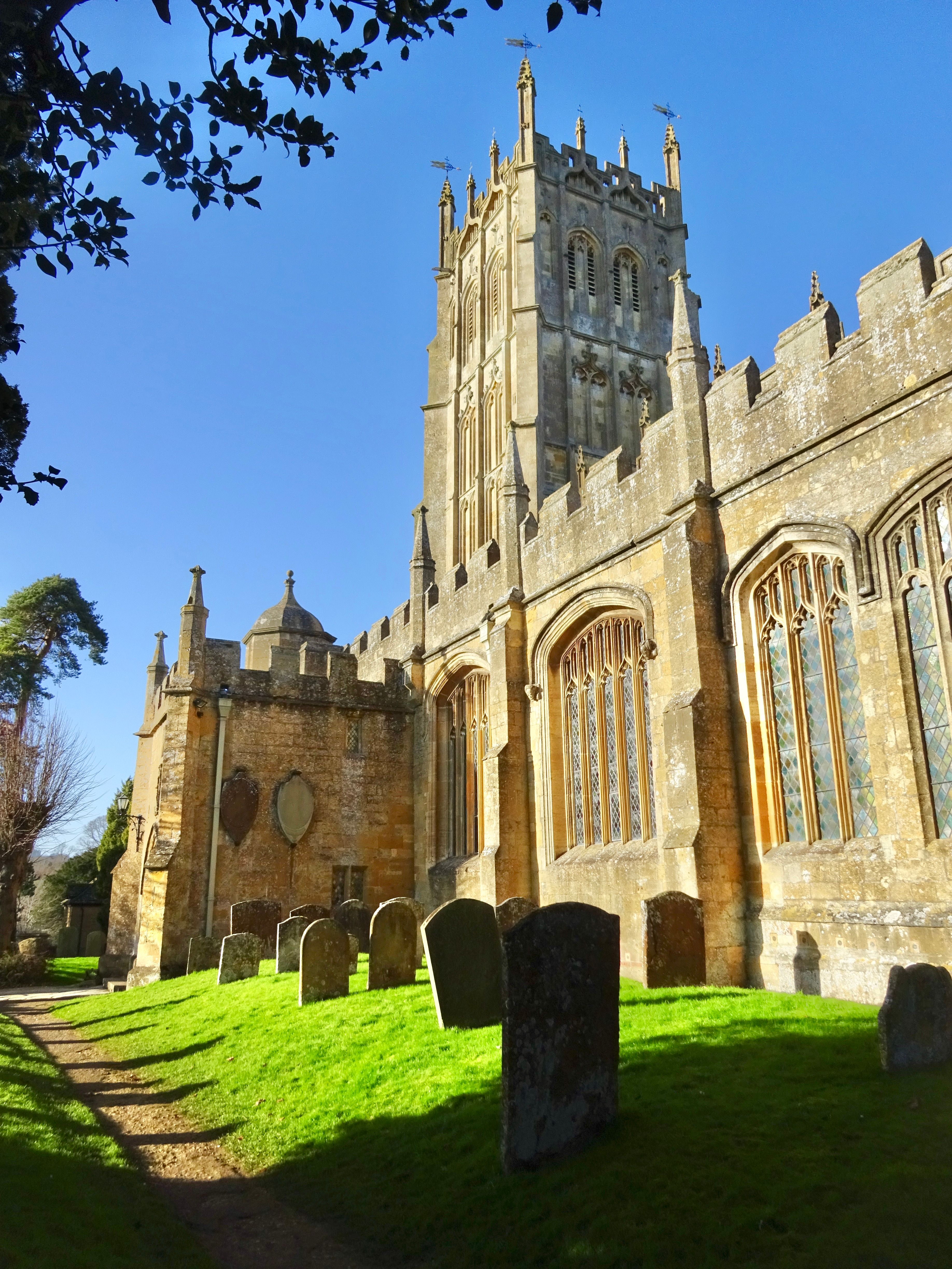
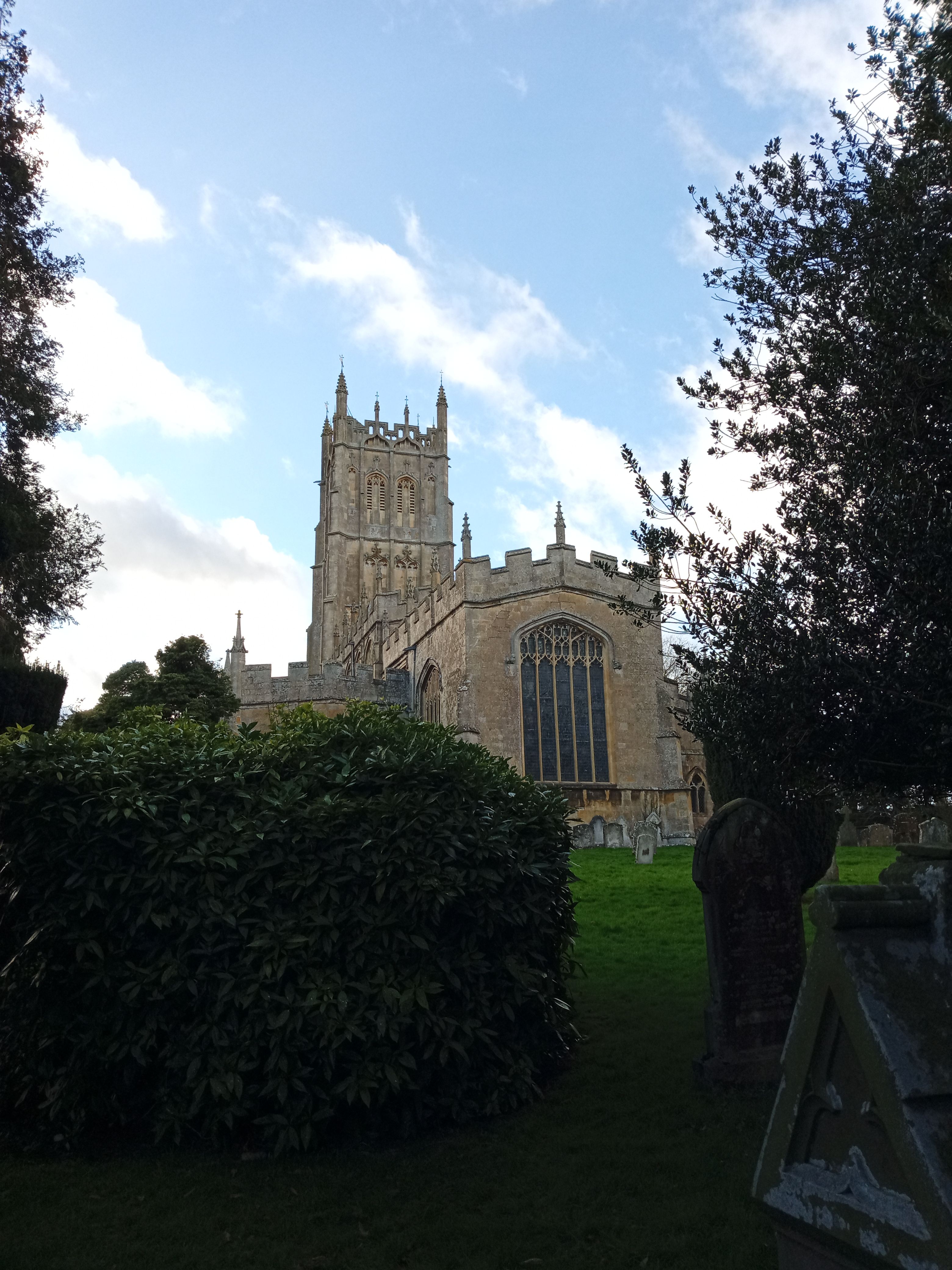
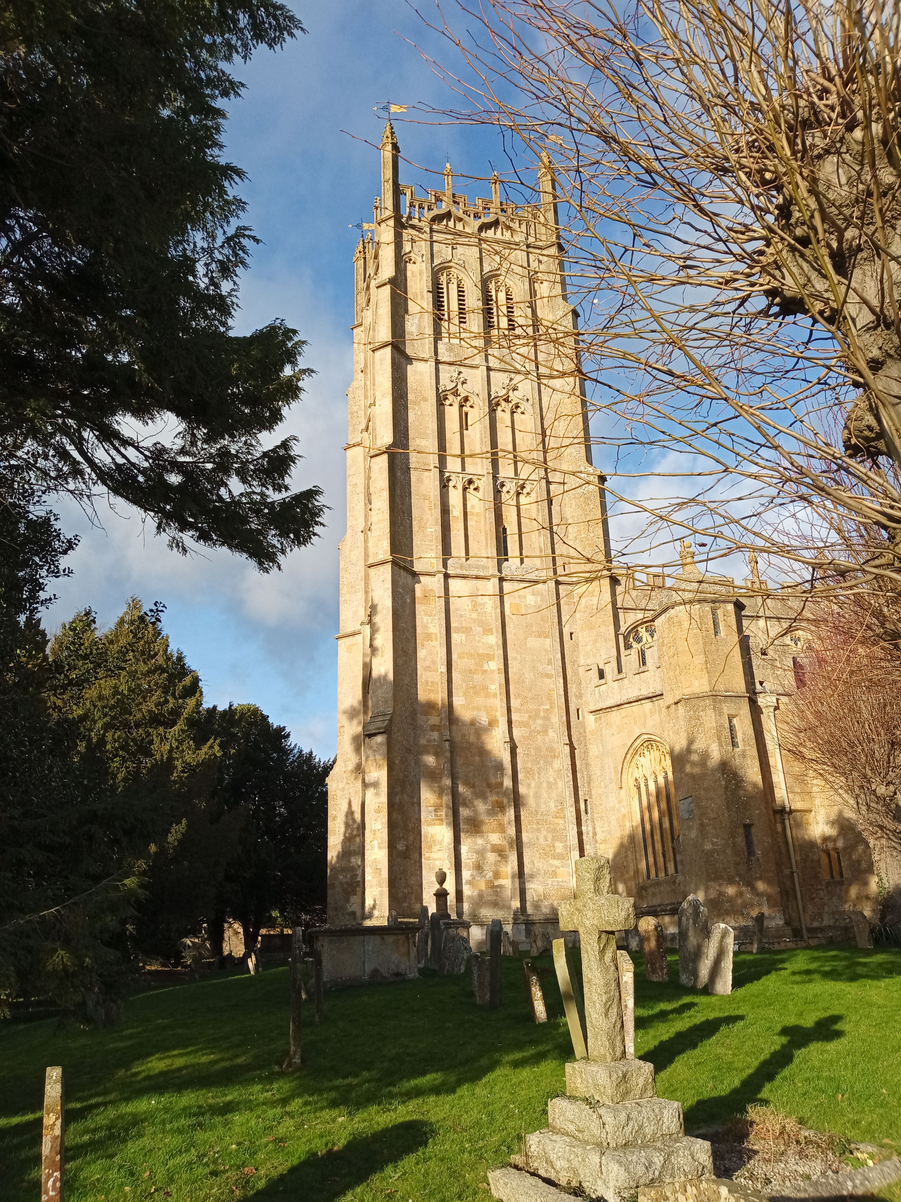
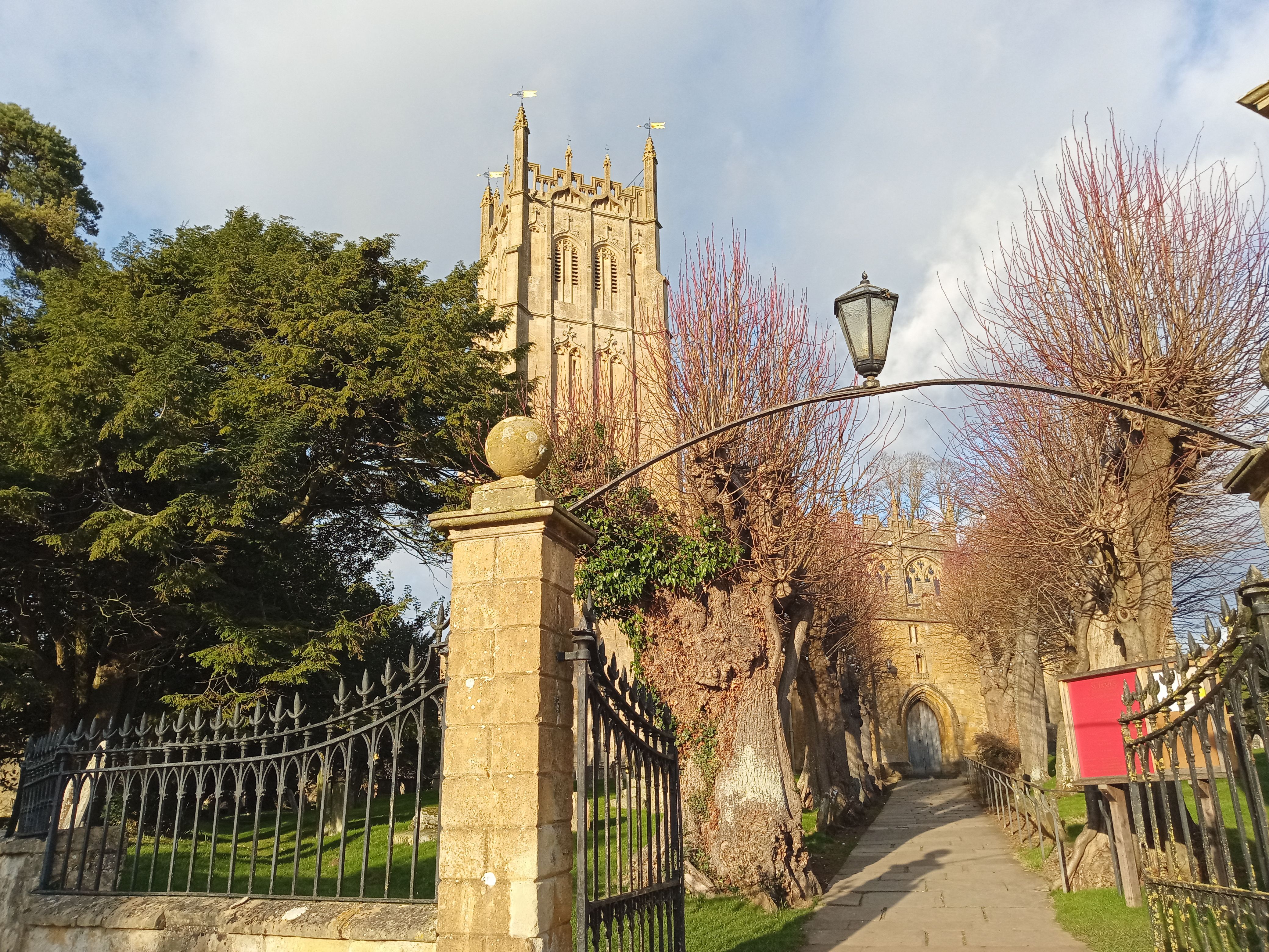
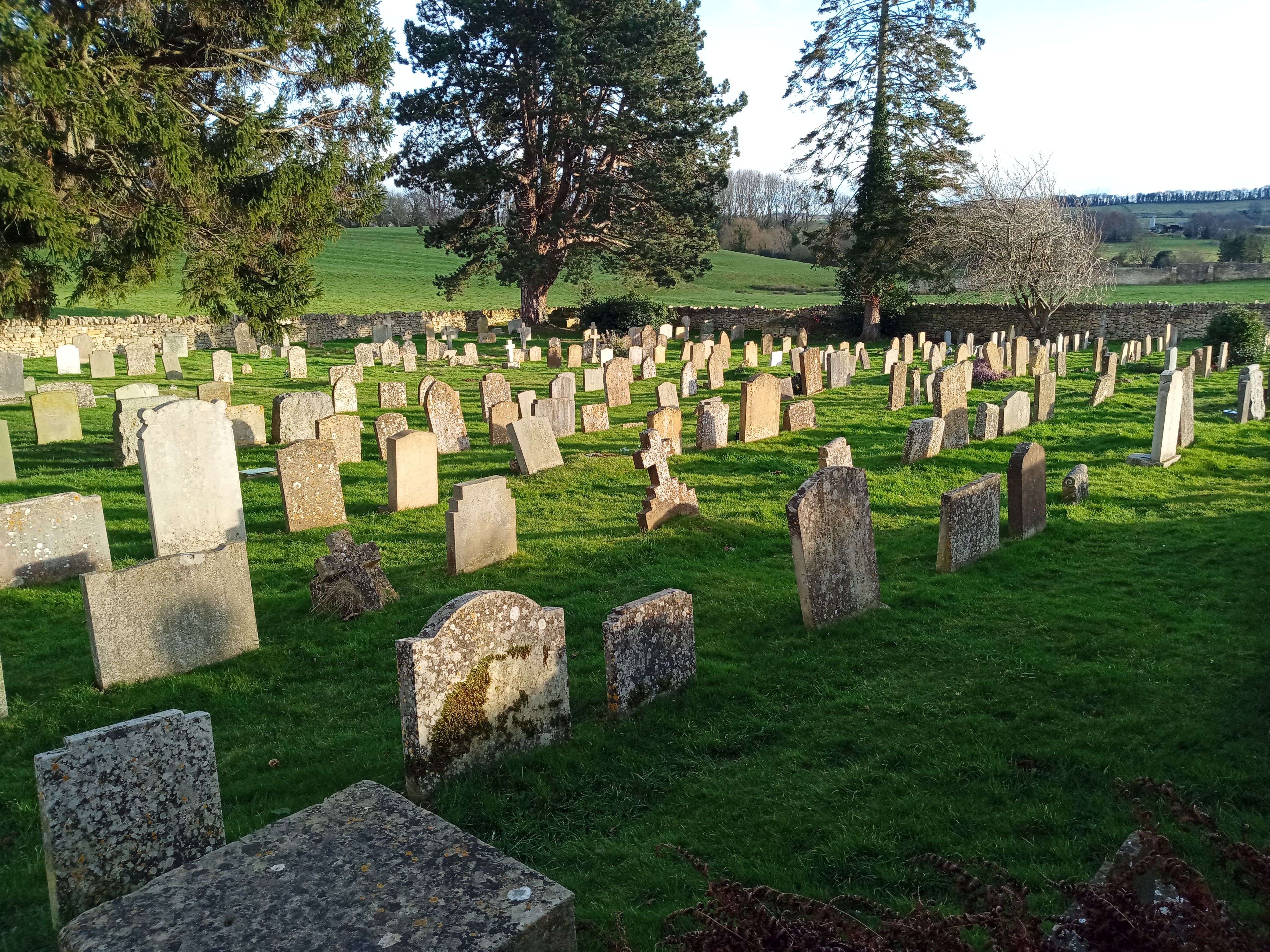
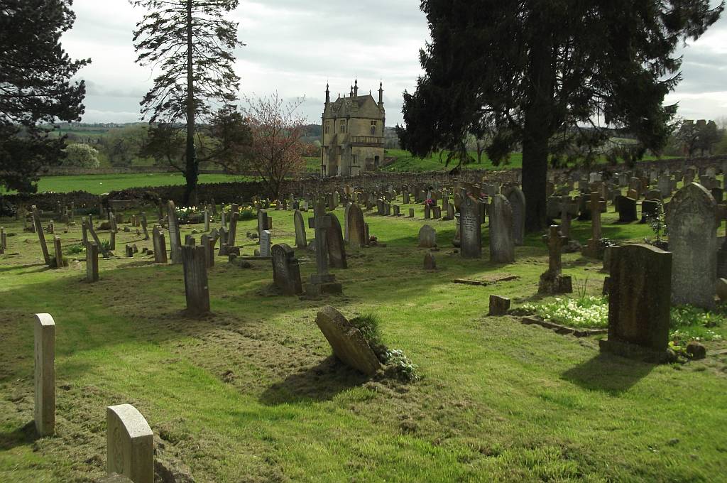
| Description | : | St James church in Chipping Campden is one of the finest “wool” churches in England, a testament to the wealth of local wool merchants during the late medieval period. The earliest church on this site was erected in the Norman period, some time before 1180. That first church was considerably smaller than the current magnificent edifice. It consisted of a simple nave without aisles, short chancel, and a stolid tower. Around AD 1260 the Norman church was enlarged, a process that continued for the next 250 years. Over the following centuries the chancel was enlarged, aisles added, and south porch built.... Read More |
frequently asked questions (FAQ):
-
Where is St James Churchyard?
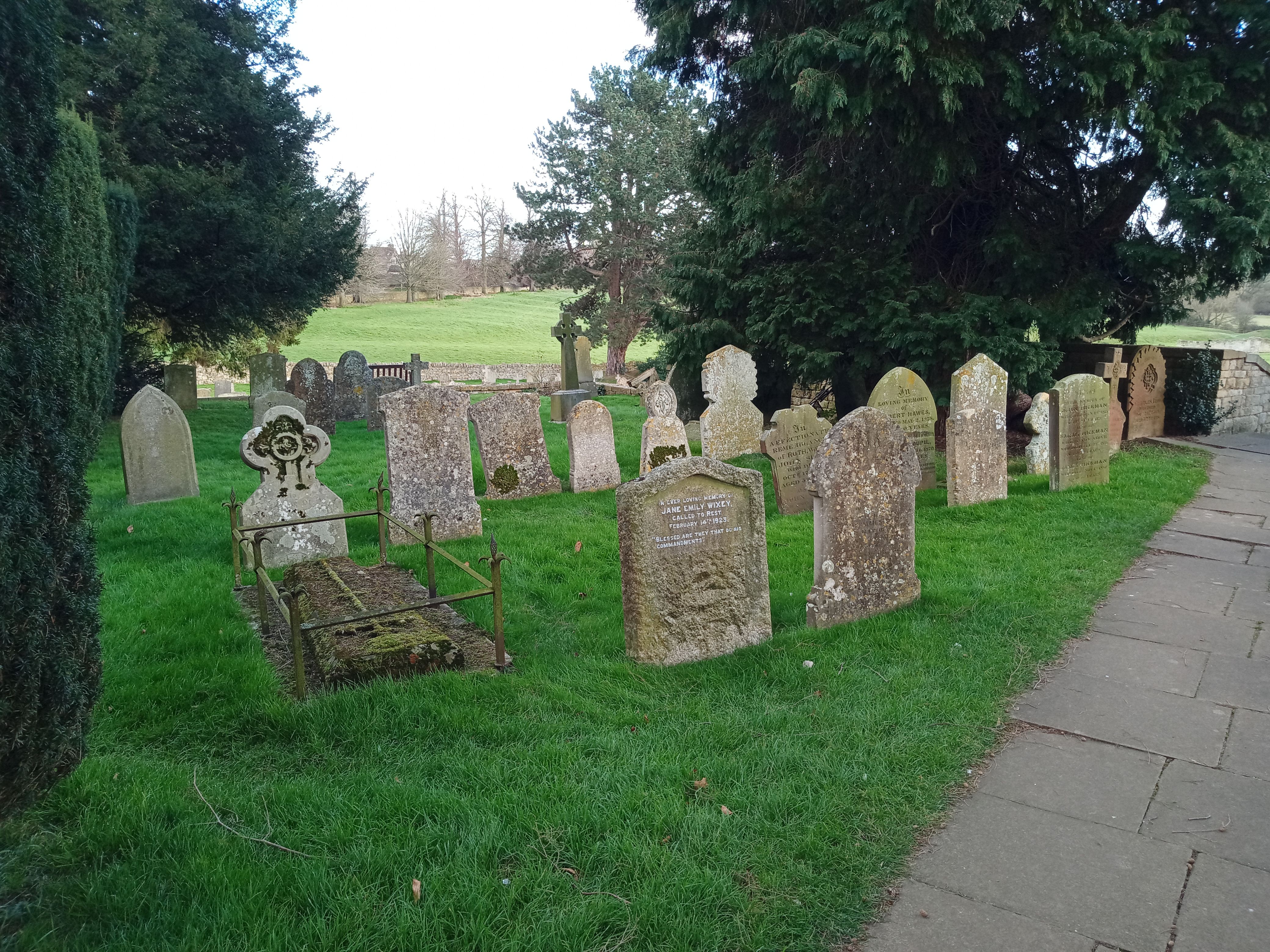
St James Churchyard is located at Church Street Chipping Campden, Cotswold District ,Gloucestershire , GL55 6JGEngland.
-
St James Churchyard cemetery's updated grave count on graveviews.com?
1874 memorials
-
Where are the coordinates of the St James Churchyard?
Latitude: 52.0532670
Longitude: -1.7758760
Nearby Cemetories:
1. St Lawrence Churchyard
Bourton-on-the-Hill, Cotswold District, England
Coordinate: 52.0531830, -1.7758910
2. St Catherine's Cemetery
Chipping Campden, Cotswold District, England
Coordinate: 52.0495800, -1.7850600
3. St Andrew's Church
Aston Subedge, Cotswold District, England
Coordinate: 52.0729286, -1.7994658
4. St. Lawrence's Churchyard
Mickleton, Cotswold District, England
Coordinate: 52.0895200, -1.7653900
5. St. Peter and St. Paul's Churchyard
Blockley, Cotswold District, England
Coordinate: 52.0124600, -1.7617000
6. St. Ecgwin Churchyard
Honeybourne, Wychavon District, England
Coordinate: 52.0946646, -1.8262611
7. St Saviour's Roman Catholic Churchyard
Broadway, Wychavon District, England
Coordinate: 52.0385690, -1.8569250
8. Honeybourne Cemetery
Honeybourne, Wychavon District, England
Coordinate: 52.0957393, -1.8266225
9. St Eadburgha Churchyard
Broadway, Wychavon District, England
Coordinate: 52.0343100, -1.8632560
10. St. Michael and All Angels Churchyard
Broadway, Wychavon District, England
Coordinate: 52.0343270, -1.8632960
11. St Marys Churchyard
Batsford, Cotswold District, England
Coordinate: 52.0030800, -1.7291600
12. St. Eadburgha New Churchyard
Broadway, Wychavon District, England
Coordinate: 52.0223000, -1.8591500
13. St. Mary the Virgin Churchyard
Ilmington, Stratford-on-Avon District, England
Coordinate: 52.0892430, -1.6955030
14. St. Peter's Churchyard
Stretton-on-Fosse, Stratford-on-Avon District, England
Coordinate: 52.0430778, -1.6754209
15. Stretton Cemetery
Stretton-on-Fosse, Stratford-on-Avon District, England
Coordinate: 52.0413935, -1.6733470
16. Bretforton Cemetery
Bretforton, Wychavon District, England
Coordinate: 52.0935996, -1.8625984
17. St. Leonard's Churchyard
Bretforton, Wychavon District, England
Coordinate: 52.0926100, -1.8657200
18. St. Peter's Churchyard
Pebworth, Wychavon District, England
Coordinate: 52.1200720, -1.8137810
19. St Mary's Churchyard
Childswickham, Wychavon District, England
Coordinate: 52.0440000, -1.8919000
20. St. Michael Churchyard Extension
Buckland, Tewkesbury Borough, England
Coordinate: 52.0223380, -1.8816020
21. St. Swithin Churchyard Extension
Quinton, Stratford-on-Avon District, England
Coordinate: 52.1209500, -1.7326740
22. St Leonard's
Moreton-in-Marsh, Cotswold District, England
Coordinate: 52.0087019, -1.6822226
23. St. Swithin's Churchyard
Quinton, Stratford-on-Avon District, England
Coordinate: 52.1213370, -1.7334890
24. St Barnabas Churchyard
Snowshill, Tewkesbury Borough, England
Coordinate: 52.0017600, -1.8608100