
| Memorials | : | 0 |
| Location | : | Blockley, Cotswold District, England |
| Coordinate | : | 52.0124600, -1.7617000 |
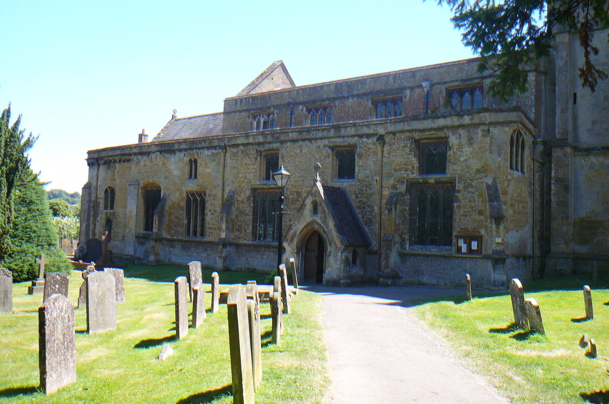
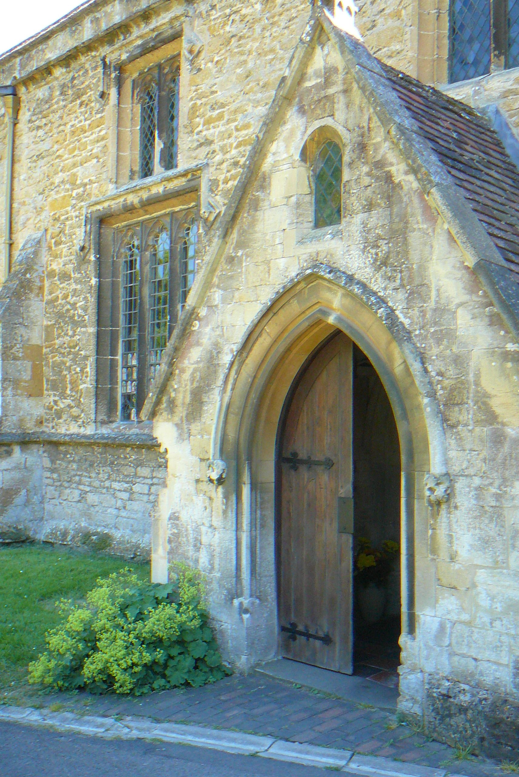
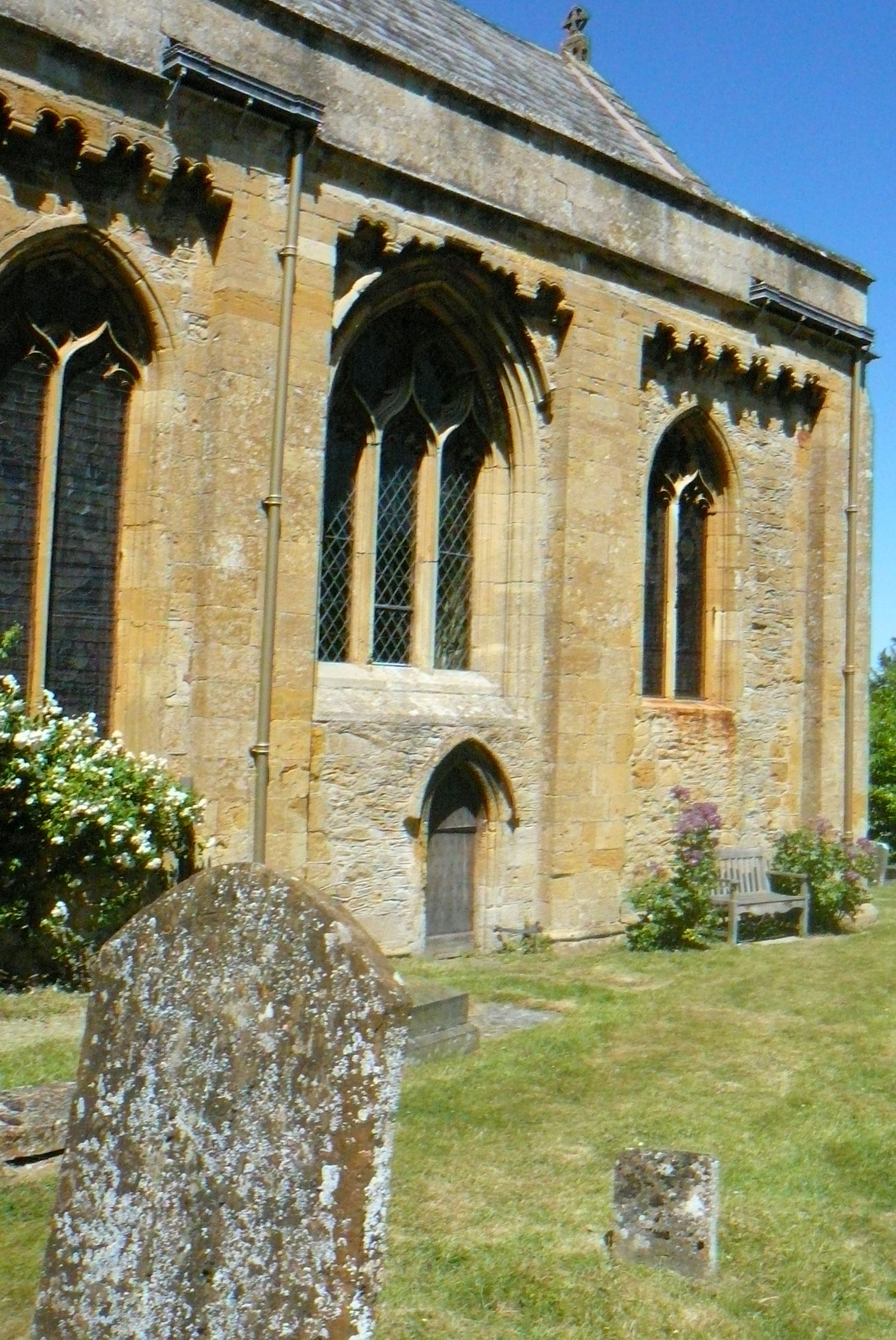
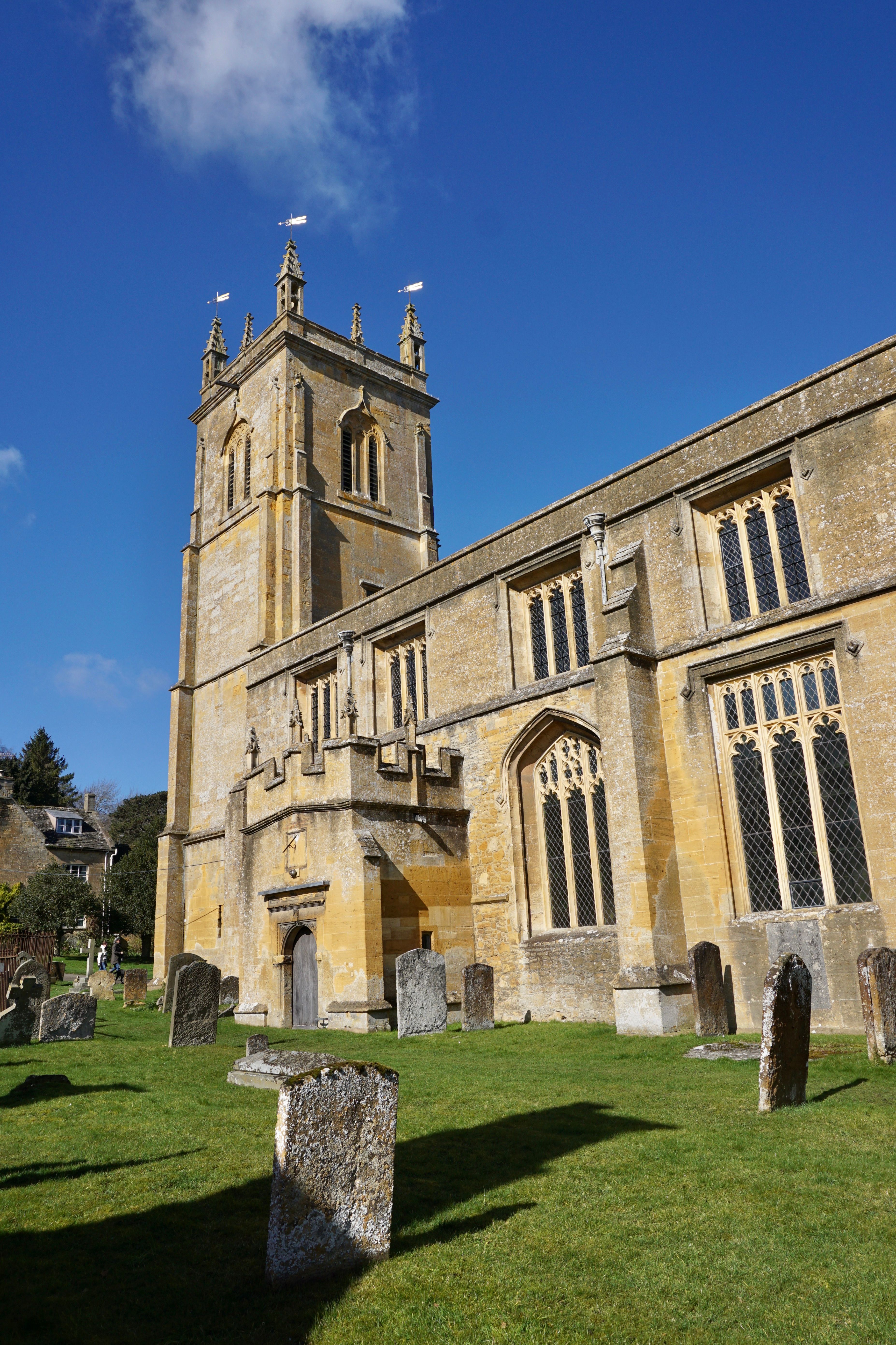
| Description | : | The Anglican parish church of Saint Peter and Saint Paul is located on Blockley High Street, previously in Worcestershire, now in Gloucestershire. Built in about 1180 and added to over the centuries. The church is used as St Mary's Roman Catholic church in the 'Father Brown' TV series and the vicarage transformed into the presbytery for Father Brown's residence. The church contains some interesting monuments and is surrounded by an attractive churchyard. |
frequently asked questions (FAQ):
-
Where is St. Peter and St. Paul's Churchyard?
St. Peter and St. Paul's Churchyard is located at Blockley, Cotswold District ,Gloucestershire ,England.
-
St. Peter and St. Paul's Churchyard cemetery's updated grave count on graveviews.com?
0 memorials
-
Where are the coordinates of the St. Peter and St. Paul's Churchyard?
Latitude: 52.0124600
Longitude: -1.7617000
Nearby Cemetories:
1. St Marys Churchyard
Batsford, Cotswold District, England
Coordinate: 52.0030800, -1.7291600
2. St Catherine's Cemetery
Chipping Campden, Cotswold District, England
Coordinate: 52.0495800, -1.7850600
3. St Lawrence Churchyard
Bourton-on-the-Hill, Cotswold District, England
Coordinate: 52.0531830, -1.7758910
4. St James Churchyard
Chipping Campden, Cotswold District, England
Coordinate: 52.0532670, -1.7758760
5. St. James Churchyard
Longborough, Cotswold District, England
Coordinate: 51.9658220, -1.7407990
6. St Leonard's
Moreton-in-Marsh, Cotswold District, England
Coordinate: 52.0087019, -1.6822226
7. St. Eadburgha New Churchyard
Broadway, Wychavon District, England
Coordinate: 52.0223000, -1.8591500
8. St. Peter's Churchyard
Stretton-on-Fosse, Stratford-on-Avon District, England
Coordinate: 52.0430778, -1.6754209
9. Stretton Cemetery
Stretton-on-Fosse, Stratford-on-Avon District, England
Coordinate: 52.0413935, -1.6733470
10. St Barnabas Churchyard
Snowshill, Tewkesbury Borough, England
Coordinate: 52.0017600, -1.8608100
11. St Saviour's Roman Catholic Churchyard
Broadway, Wychavon District, England
Coordinate: 52.0385690, -1.8569250
12. St Andrew's Church
Aston Subedge, Cotswold District, England
Coordinate: 52.0729286, -1.7994658
13. St Eadburgha Churchyard
Broadway, Wychavon District, England
Coordinate: 52.0343100, -1.8632560
14. St. Michael and All Angels Churchyard
Broadway, Wychavon District, England
Coordinate: 52.0343270, -1.8632960
15. St Paul Churchyard
Broadwell, Cotswold District, England
Coordinate: 51.9476200, -1.7095100
16. St Mary's Churchyard
Upper Swell, Cotswold District, England
Coordinate: 51.9398030, -1.7441910
17. St. Michael Churchyard Extension
Buckland, Tewkesbury Borough, England
Coordinate: 52.0223380, -1.8816020
18. St Michael and All Angels Church
Great Wolford, Stratford-on-Avon District, England
Coordinate: 52.0091000, -1.6367450
19. St. Lawrence's Churchyard
Mickleton, Cotswold District, England
Coordinate: 52.0895200, -1.7653900
20. St Lawrence's Church
Barton-on-the-Heath, Stratford-on-Avon District, England
Coordinate: 51.9918300, -1.6272375
21. St. Edward Churchyard
Stow-on-the-Wold, Cotswold District, England
Coordinate: 51.9299810, -1.7238290
22. St Mary's Churchyard
Childswickham, Wychavon District, England
Coordinate: 52.0440000, -1.8919000
23. St. Mary the Virgin Churchyard
Ilmington, Stratford-on-Avon District, England
Coordinate: 52.0892430, -1.6955030
24. Stow-on-the-Wold Cemetery
Stow-on-the-Wold, Cotswold District, England
Coordinate: 51.9264100, -1.7254670