
| Memorials | : | 0 |
| Location | : | Lurgashall, Chichester District, England |
| Coordinate | : | 51.0372620, -0.6634070 |
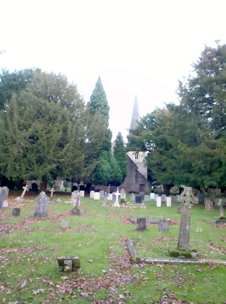
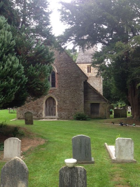
| Description | : | Lurgashall is a village and civil parish in the Chichester district of West Sussex, England. It is 6.5 km (4 ml) north west of Petworth and just inside the new South Downs National Park. The church of St Laurence, The Noah's Ark pub, the old school and several old houses are built around a picturesque village green which is the village cricket pitch. |
frequently asked questions (FAQ):
-
Where is St Laurence Churchyard?
St Laurence Churchyard is located at Lurgashall, Chichester District ,West Sussex , GU28 9ETEngland.
-
St Laurence Churchyard cemetery's updated grave count on graveviews.com?
0 memorials
-
Where are the coordinates of the St Laurence Churchyard?
Latitude: 51.0372620
Longitude: -0.6634070


Nearby Cemetories:
1. St Michael Churchyard
Northchapel, Chichester District, England
Coordinate: 51.0561371, -0.6426890
2. Ebernoe Holy Trinity Churchyard
Ebernoe, Chichester District, England
Coordinate: 51.0415420, -0.6099770
3. Fernhurst Burial Ground
Fernhurst, Chichester District, England
Coordinate: 51.0486080, -0.7220610
4. St Peter Churchyard
Lodsworth, Chichester District, England
Coordinate: 50.9968230, -0.6746850
5. Pitshill Garden of Rest
Tillington, Chichester District, England
Coordinate: 50.9893710, -0.6320950
6. All Hallows Churchyard Extension
Tillington, Chichester District, England
Coordinate: 50.9893231, -0.6313783
7. All Hallows Churchyard
Tillington, Chichester District, England
Coordinate: 50.9893180, -0.6291640
8. Hampers Green Cemetery
Petworth, Chichester District, England
Coordinate: 50.9963280, -0.6101350
9. Horsham Road Cemetery
Petworth, Chichester District, England
Coordinate: 50.9920830, -0.6066060
10. Easebourne Priory
Easebourne, Chichester District, England
Coordinate: 50.9950335, -0.7258487
11. St Mary the Virgin Churchyard
Petworth, Chichester District, England
Coordinate: 50.9879345, -0.6096756
12. Bartons Lane Cemetery
Petworth, Chichester District, England
Coordinate: 50.9870920, -0.6073540
13. Saint Bartholmew's Churchyard
Haslemere, Waverley Borough, England
Coordinate: 51.0915420, -0.7161500
14. Weycombe Road Cemetery
Haslemere, Waverley Borough, England
Coordinate: 51.0946726, -0.7090732
15. St. Luke's Churchyard
Linch, Chichester District, England
Coordinate: 51.0404840, -0.7720810
16. Lynchmere Burial Ground
Linchmere, Chichester District, England
Coordinate: 51.0832644, -0.7513318
17. St John The Baptist Churchyard
Kirdford, Chichester District, England
Coordinate: 51.0287710, -0.5494880
18. St Mary Magdelene Churchyard
West Lavington, Chichester District, England
Coordinate: 50.9773640, -0.7311840
19. Sunvale Cemetery
Haslemere, Waverley Borough, England
Coordinate: 51.0871100, -0.7513700
20. St. Mary's Churchyard
Chiddingfold, Waverley Borough, England
Coordinate: 51.1097750, -0.6300990
21. Carron Lane Cemetery
Midhurst, Chichester District, England
Coordinate: 50.9857040, -0.7513620
22. St. James Churchyard
Stedham, Chichester District, England
Coordinate: 50.9962590, -0.7703560
23. St Bartholomew Churchyard
Egdean, Chichester District, England
Coordinate: 50.9716740, -0.5819790
24. St. Mary's Churchyard
Iping, Chichester District, England
Coordinate: 51.0000351, -0.7865786