
| Memorials | : | 1 |
| Location | : | Petworth, Chichester District, England |
| Coordinate | : | 50.9920830, -0.6066060 |
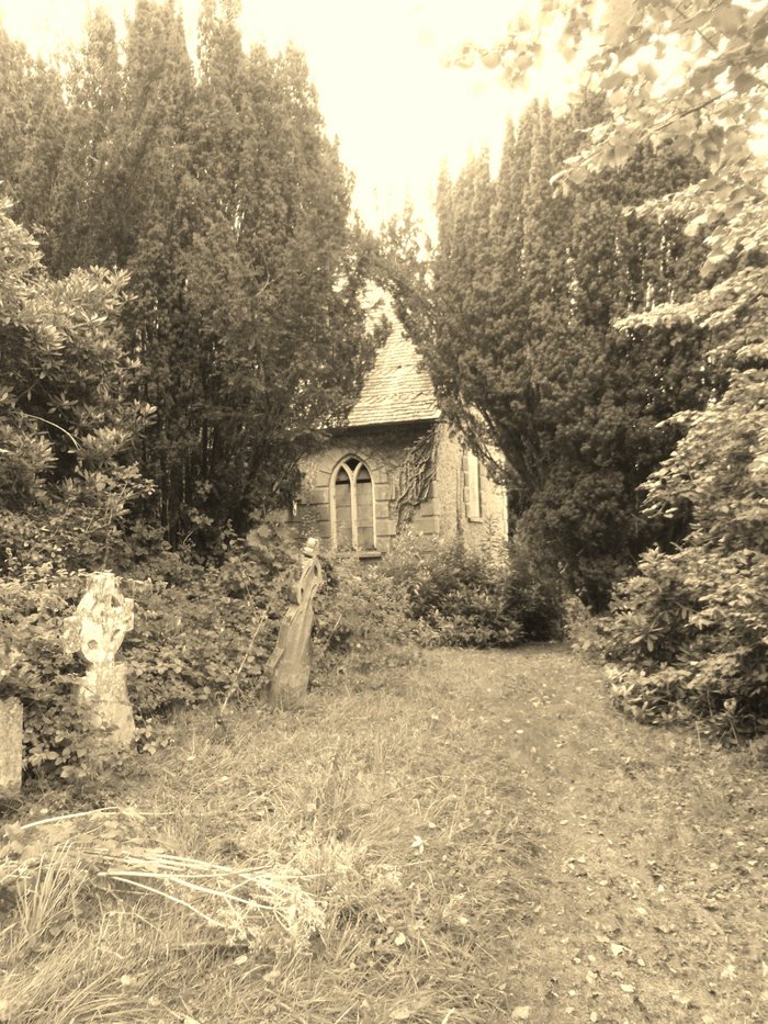
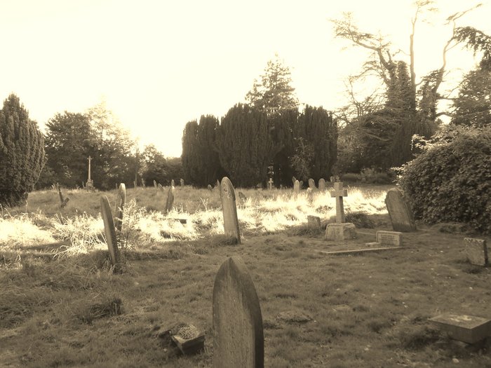
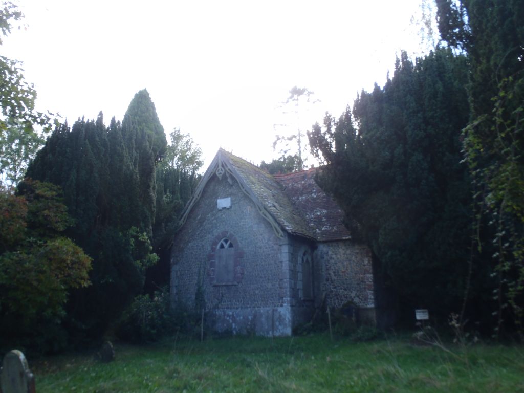
| Description | : | The graveyard is the resting place of the 28 boys who lost their lives along with the headmaster Charles Stevenson and assistant teacher Charlotte Marshall when a lone German plane, approaching from the south over Hoes Farm, aimed three bombs at Petworth House, which missed the house, but one of which bounced off a tree and landed on the Petworth Boys' School in North Street. on 29 September 1942. |
frequently asked questions (FAQ):
-
Where is Horsham Road Cemetery?
Horsham Road Cemetery is located at Horsham Road (A 272) Petworth, Chichester District ,West Sussex ,England.
-
Horsham Road Cemetery cemetery's updated grave count on graveviews.com?
1 memorials
-
Where are the coordinates of the Horsham Road Cemetery?
Latitude: 50.9920830
Longitude: -0.6066060
Nearby Cemetories:
1. St Mary the Virgin Churchyard
Petworth, Chichester District, England
Coordinate: 50.9879345, -0.6096756
2. Hampers Green Cemetery
Petworth, Chichester District, England
Coordinate: 50.9963280, -0.6101350
3. Bartons Lane Cemetery
Petworth, Chichester District, England
Coordinate: 50.9870920, -0.6073540
4. All Hallows Churchyard
Tillington, Chichester District, England
Coordinate: 50.9893180, -0.6291640
5. All Hallows Churchyard Extension
Tillington, Chichester District, England
Coordinate: 50.9893231, -0.6313783
6. Pitshill Garden of Rest
Tillington, Chichester District, England
Coordinate: 50.9893710, -0.6320950
7. St Bartholomew Churchyard
Egdean, Chichester District, England
Coordinate: 50.9716740, -0.5819790
8. St Mary the Virgin Churchyard
Fittleworth, Chichester District, England
Coordinate: 50.9641190, -0.5641100
9. St Peter Churchyard
Lodsworth, Chichester District, England
Coordinate: 50.9968230, -0.6746850
10. St Richard's Church
Duncton, Chichester District, England
Coordinate: 50.9486600, -0.6230000
11. Holy Trinity Churchyard
Duncton, Chichester District, England
Coordinate: 50.9491400, -0.6337740
12. Ebernoe Holy Trinity Churchyard
Ebernoe, Chichester District, England
Coordinate: 51.0415420, -0.6099770
13. St John The Baptist Churchyard
Kirdford, Chichester District, England
Coordinate: 51.0287710, -0.5494880
14. St Mary the Virgin Churchyard
Stopham, Chichester District, England
Coordinate: 50.9607210, -0.5397030
15. St Laurence Churchyard
Lurgashall, Chichester District, England
Coordinate: 51.0372620, -0.6634070
16. St. John The Baptist Churchyard Cemetery
Sutton, Chichester District, England
Coordinate: 50.9316638, -0.6080123
17. St Peters Churchyard
East Lavington, Chichester District, England
Coordinate: 50.9379250, -0.6550920
18. St Michael Churchyard
Northchapel, Chichester District, England
Coordinate: 51.0561371, -0.6426890
19. St. Botolph's Churchyard
Pulborough, Horsham District, England
Coordinate: 50.9486804, -0.5228765
20. St Botolph Churchyard
Hardham, Horsham District, England
Coordinate: 50.9485730, -0.5226740
21. St. Mary’s Churchyard
Pulborough, Horsham District, England
Coordinate: 50.9588300, -0.5101400
22. St. Peter ad Vincula Churchyard
Wisborough Green, Chichester District, England
Coordinate: 51.0223710, -0.5017390
23. Easebourne Priory
Easebourne, Chichester District, England
Coordinate: 50.9950335, -0.7258487
24. St Mary Magdelene Churchyard
West Lavington, Chichester District, England
Coordinate: 50.9773640, -0.7311840