
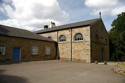
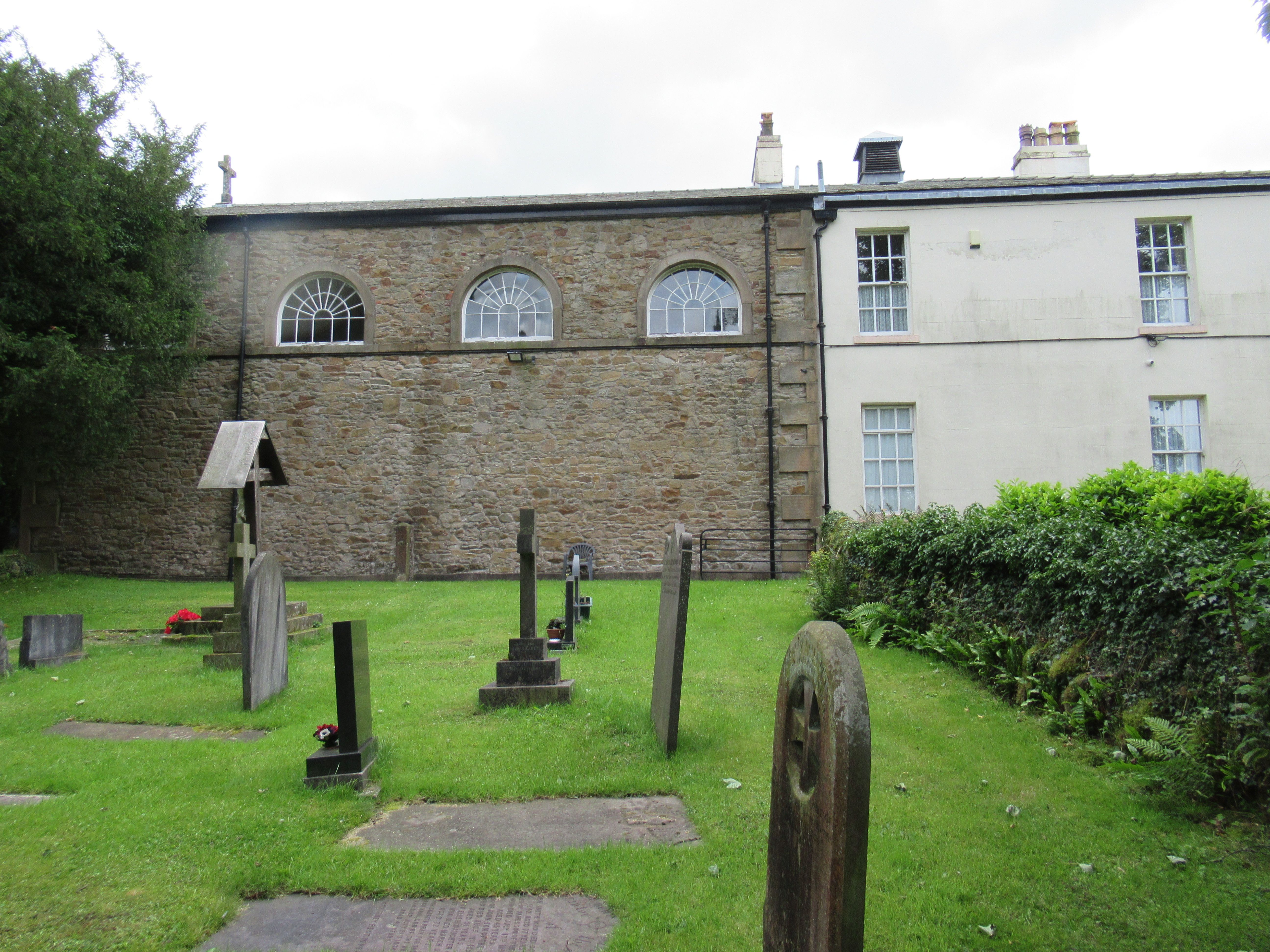
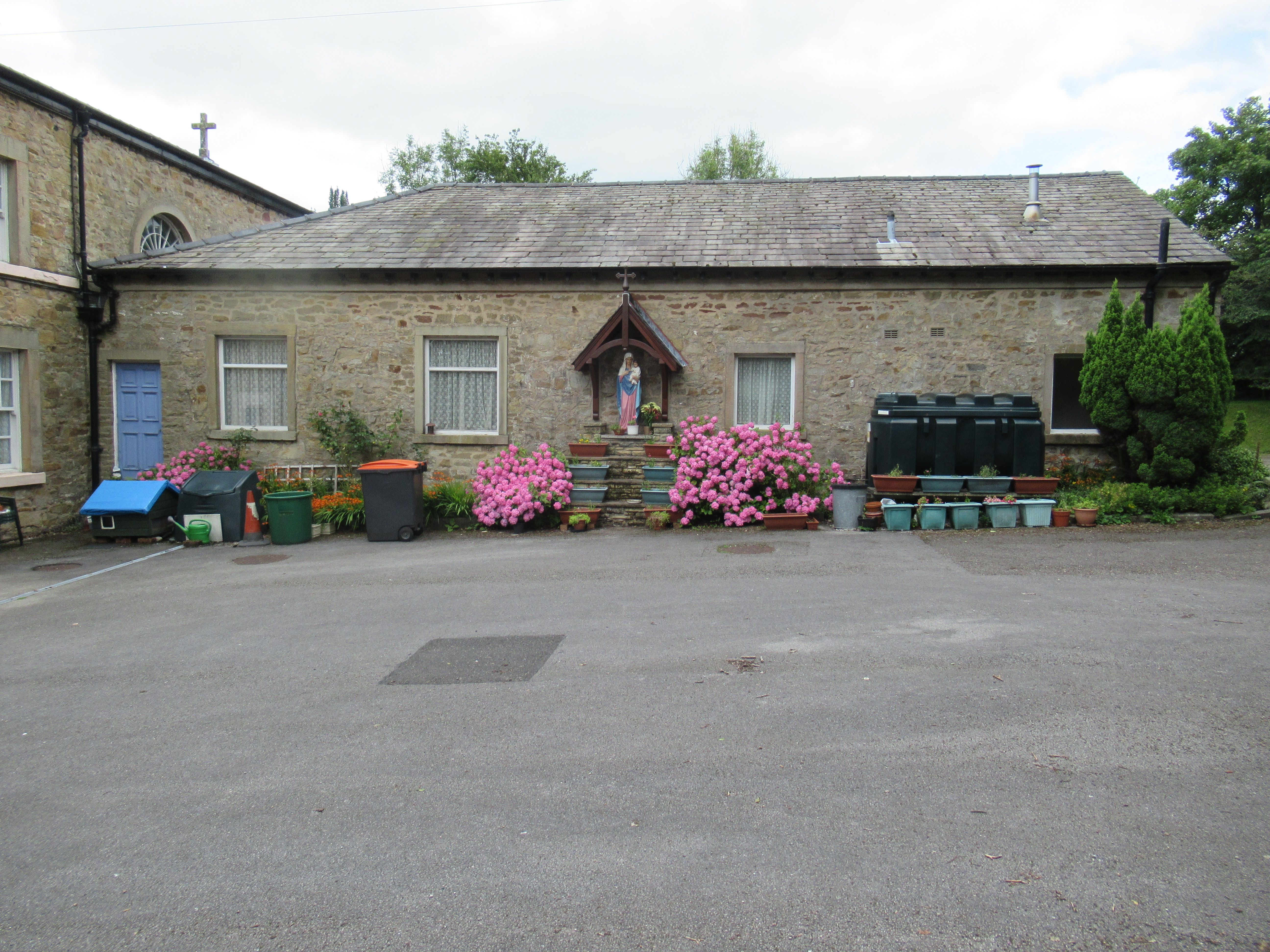
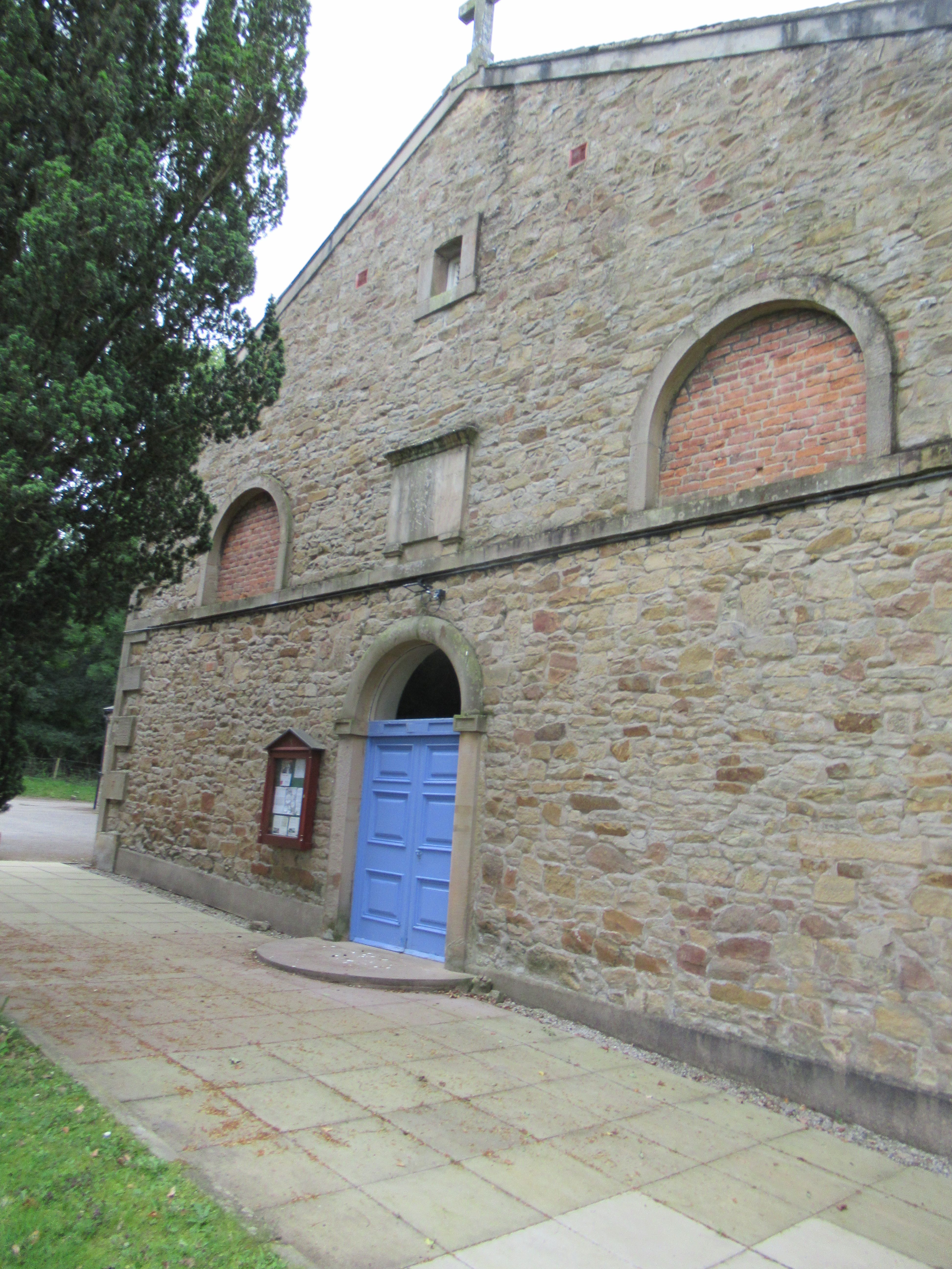
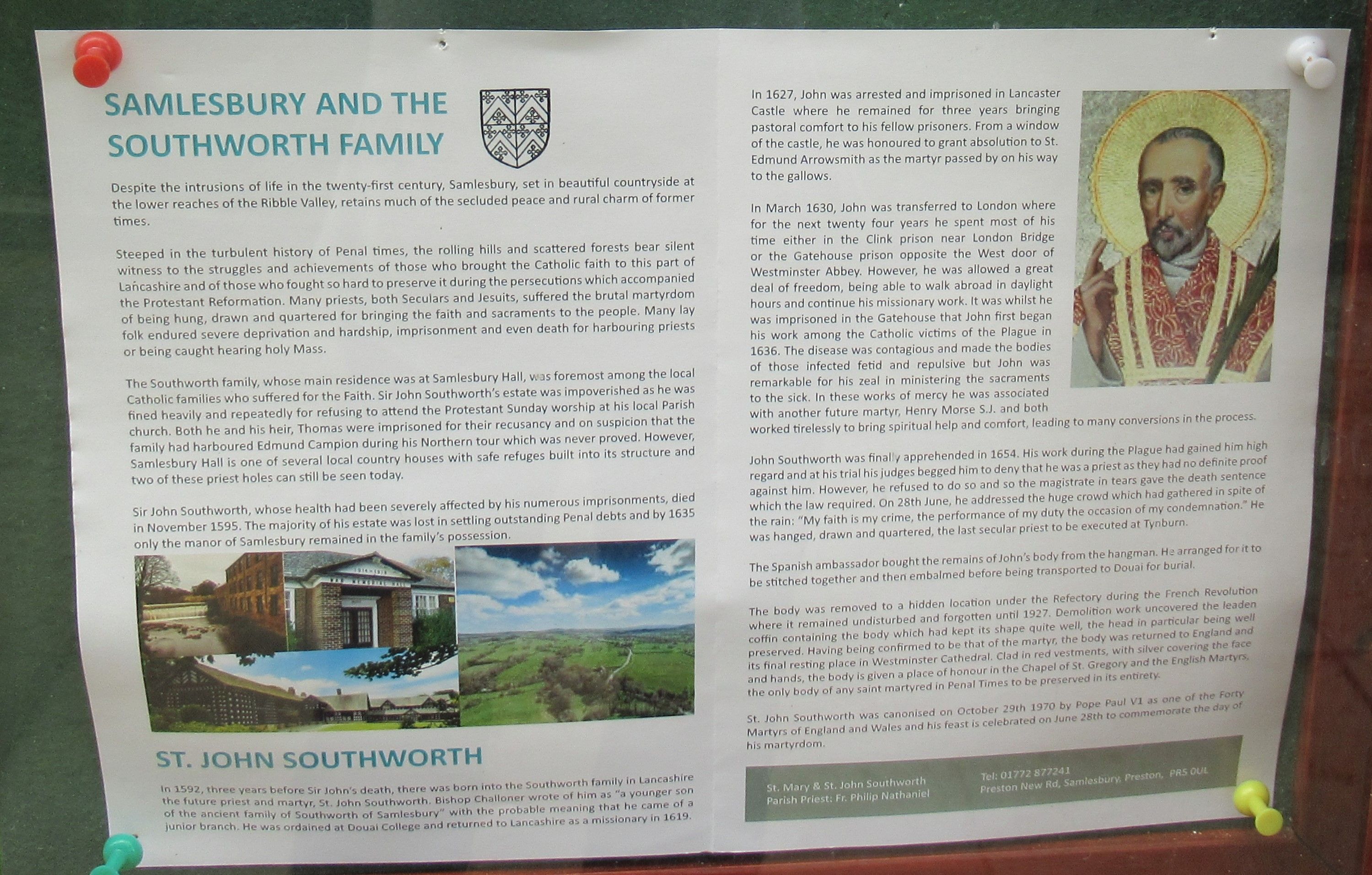
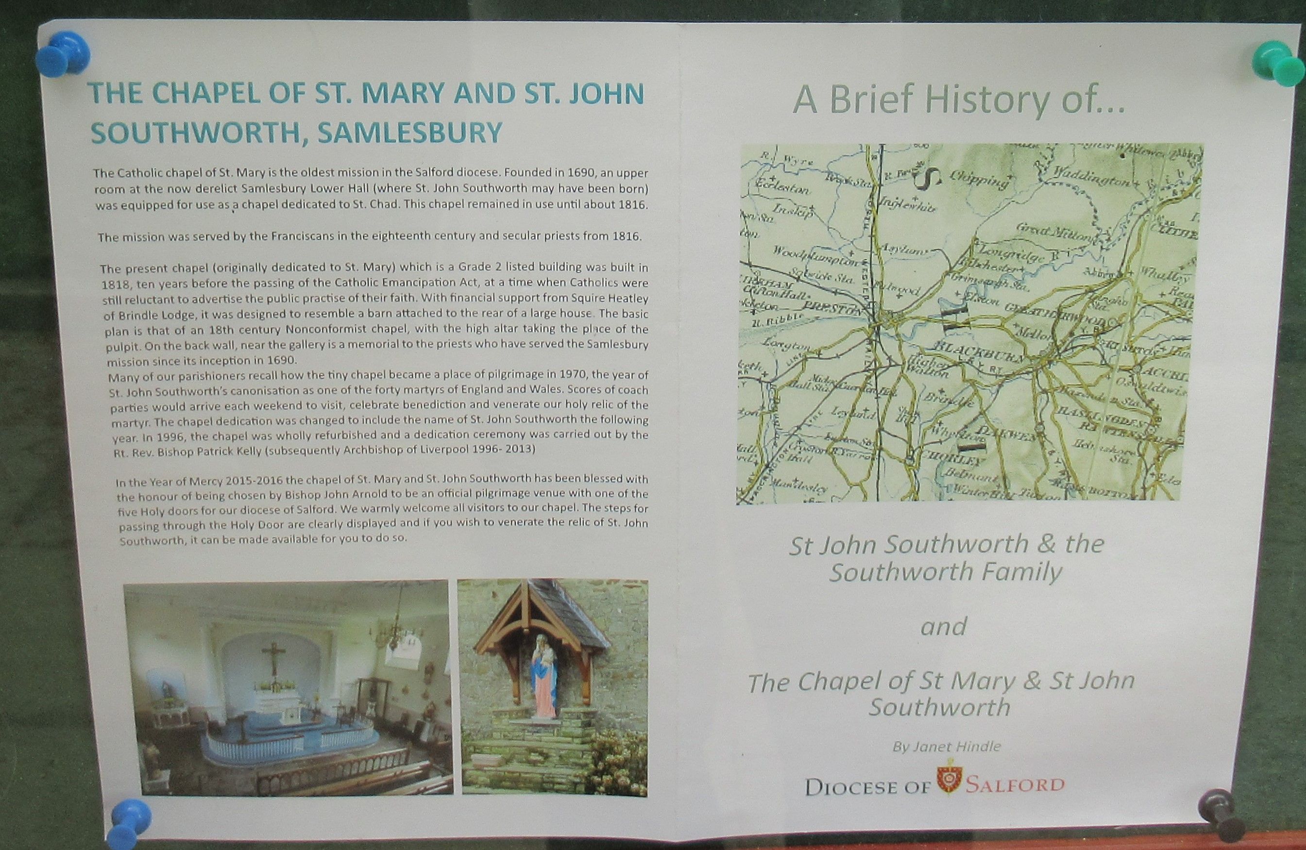
| Memorials | : | 7 |
| Location | : | Samlesbury, South Ribble Borough, England |
| Coordinate | : | 53.7676690, -2.6183400 |
frequently asked questions (FAQ):
-
Where is St. Mary's and St. John RC Churchyard, Southworth?
St. Mary's and St. John RC Churchyard, Southworth is located at Samlesbury, South Ribble Borough ,Lancashire ,England.
-
St. Mary's and St. John RC Churchyard, Southworth cemetery's updated grave count on graveviews.com?
7 memorials
-
Where are the coordinates of the St. Mary's and St. John RC Churchyard, Southworth?
Latitude: 53.7676690
Longitude: -2.6183400
Nearby Cemetories:
1. St. Leonard the Less Churchyard
Samlesbury, South Ribble Borough, England
Coordinate: 53.7680000, -2.6237000
2. Preston Crematorium
Preston, City of Preston, England
Coordinate: 53.7863750, -2.6340170
3. Preston Old Cemetery
Ribbleton, City of Preston, England
Coordinate: 53.7686352, -2.6623154
4. Preston New Cemetery
Ribbleton, City of Preston, England
Coordinate: 53.7717400, -2.6620900
5. All Saints Churchyard
Walton-le-Dale, South Ribble Borough, England
Coordinate: 53.7407250, -2.6408280
6. Our Lady and St Patrick's Church
Walton-le-Dale, South Ribble Borough, England
Coordinate: 53.7407250, -2.6408280
7. St. Michael's Churchyard
Grimsargh, City of Preston, England
Coordinate: 53.7990710, -2.6352530
8. St Leonard Churchyard
Walton-le-Dale, South Ribble Borough, England
Coordinate: 53.7476530, -2.6666950
9. St. Josephs Roman Catholic Churchyard
Brindle, Chorley Borough, England
Coordinate: 53.7350780, -2.5880640
10. St Leonard Churchyard
Balderstone, Ribble Valley Borough, England
Coordinate: 53.7860070, -2.5609380
11. Our Lady and St. Michael Roman Catholic Churchyard
Longridge, Ribble Valley Borough, England
Coordinate: 53.8088040, -2.6133470
12. Holy Trinity Churchyard
Hoghton, Chorley Borough, England
Coordinate: 53.7279300, -2.5848550
13. St Augustine of Canterbury
Preston, City of Preston, England
Coordinate: 53.7560420, -2.6912650
14. St. Paul Churchyard
Preston, City of Preston, England
Coordinate: 53.7625360, -2.6947080
15. St. James' Churchyard
Preston, City of Preston, England
Coordinate: 53.7566010, -2.6941110
16. St. Ignatius RC Churchyard
Preston, City of Preston, England
Coordinate: 53.7635270, -2.6965870
17. St John Churchyard
Preston, City of Preston, England
Coordinate: 53.7582080, -2.6959750
18. St Mary's Churchyard Brownedge
Bamber Bridge, South Ribble Borough, England
Coordinate: 53.7305472, -2.6669416
19. St. Mary's Churchyard
Preston, City of Preston, England
Coordinate: 53.8010830, -2.6779600
20. Holy Trinity
Preston, City of Preston, England
Coordinate: 53.7613030, -2.7030580
21. Friends Meeting House Burial Ground (Defunct)
Preston, City of Preston, England
Coordinate: 53.7610250, -2.7030380
22. St. George the Martyr
Preston, City of Preston, England
Coordinate: 53.7591220, -2.7025660
23. Christ Church Churchyard
Fulwood, City of Preston, England
Coordinate: 53.7771920, -2.7028700
24. St Mary's R.C. Church Cemetery
Osbaldeston, Ribble Valley Borough, England
Coordinate: 53.7816970, -2.5350240