
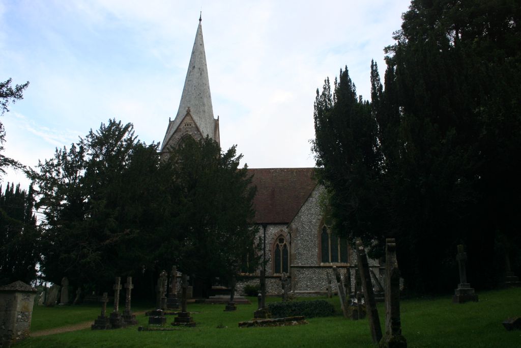
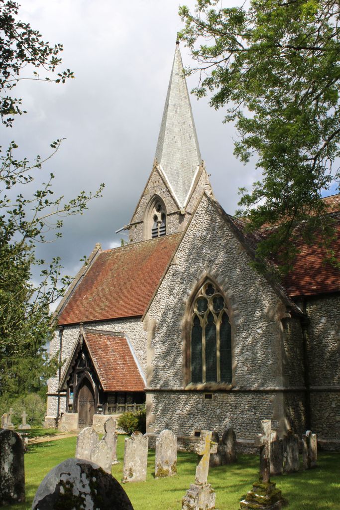
| Memorials | : | 0 |
| Location | : | Alderbury, Wiltshire Unitary Authority, England |
| Coordinate | : | 51.0413780, -1.7413140 |
frequently asked questions (FAQ):
-
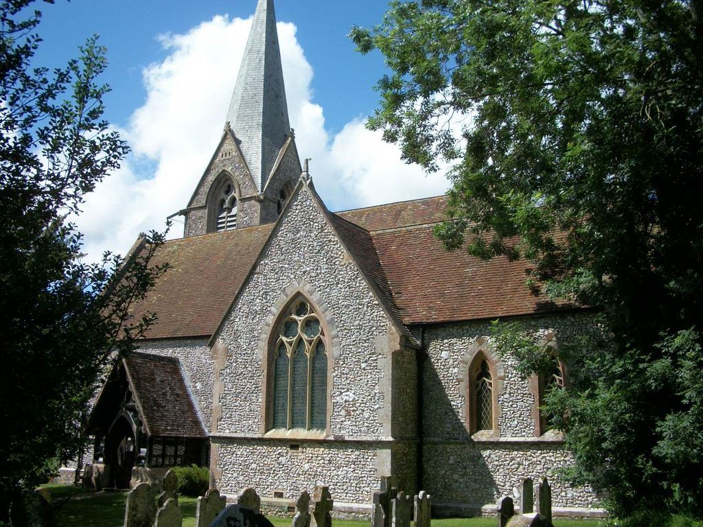
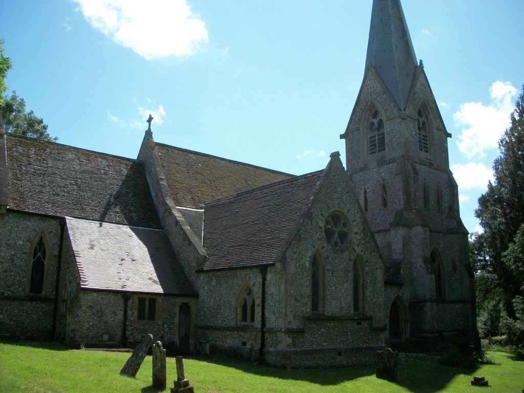
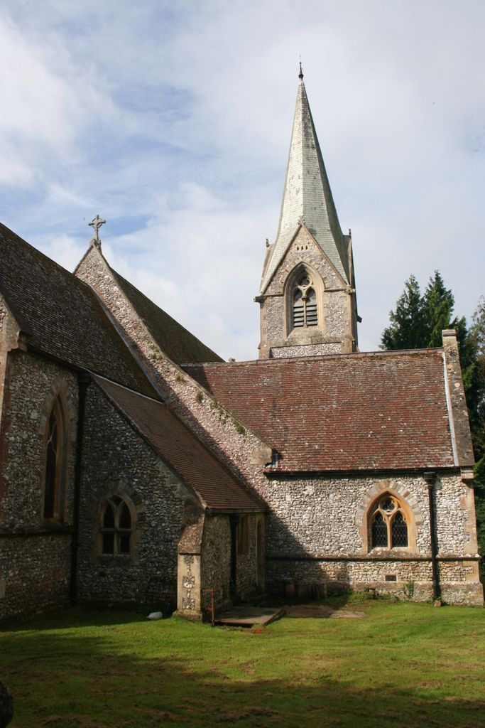
Where is St Mary's Churchyard?
St Mary's Churchyard is located at Alderbury, Wiltshire Unitary Authority ,Wiltshire ,England.
-
St Mary's Churchyard cemetery's updated grave count on graveviews.com?
0 memorials
-
Where are the coordinates of the St Mary's Churchyard?
Latitude: 51.0413780
Longitude: -1.7413140
Nearby Cemetories:
1. St. Peter's Churchyard
Britford, Wiltshire Unitary Authority, England
Coordinate: 51.0551650, -1.7689880
2. Broad Chalke Congregational Chapelyard
Broad Chalke, Wiltshire Unitary Authority, England
Coordinate: 51.0523805, -1.7071162
3. Church of St. Michael and All the Angels
Downton, Wiltshire Unitary Authority, England
Coordinate: 51.0106010, -1.7411390
4. St Andrew Churchyard
Bemerton, Wiltshire Unitary Authority, England
Coordinate: 51.0740580, -1.8252960
5. St. Michael and All Angels Cemetery
Coombe Bissett, Wiltshire Unitary Authority, England
Coordinate: 51.0361120, -1.8473230
6. Bemerton St John
Bemerton, Wiltshire Unitary Authority, England
Coordinate: 51.0759324, -1.8333699
7. St Mary Churchyard
Hale, New Forest District, England
Coordinate: 50.9670380, -1.7473110
8. St. Mary's Churchyard
Breamore, New Forest District, England
Coordinate: 50.9687400, -1.7834000
9. St. Winfrith Churchyard
East Dean, Test Valley Borough, England
Coordinate: 51.0393480, -1.6115260
10. St. Leonard's Churchyard
Whitsbury, New Forest District, England
Coordinate: 50.9713900, -1.8176000
11. St. Peter's Churchyard
West Tytherley, Test Valley Borough, England
Coordinate: 51.0662240, -1.6100910
12. St. John the Baptist Churchyard
Bishopstone (Salisbury), Wiltshire Unitary Authority, England
Coordinate: 51.0379160, -1.8812960
13. Woodgreen Cemetery
Woodgreen, New Forest District, England
Coordinate: 50.9525032, -1.7574225
14. St. Andrew's Churchyard
Rockbourne, New Forest District, England
Coordinate: 50.9640400, -1.8369600
15. St Peter Churchyard
East Tytherley, Test Valley Borough, England
Coordinate: 51.0598230, -1.5843250
16. St. John Churchyard
Lockerley, Test Valley Borough, England
Coordinate: 51.0387300, -1.5757930
17. St Peter Churchyard
Plaitford, Test Valley Borough, England
Coordinate: 50.9815600, -1.6052890
18. St. Leonard Churchyard
Sherfield English, Test Valley Borough, England
Coordinate: 51.0001130, -1.5875130
19. St Andrews Churchyard
Allington, Wiltshire Unitary Authority, England
Coordinate: 51.1459710, -1.7149400
20. Saint Andrew's Churchyard
Durnford, Wiltshire Unitary Authority, England
Coordinate: 51.1438930, -1.8063690
21. St John the Baptist
Allington, Wiltshire Unitary Authority, England
Coordinate: 51.1533200, -1.7094250
22. Stockport Avenue Cemetery
Amesbury, Wiltshire Unitary Authority, England
Coordinate: 51.1576900, -1.7644900
23. St. Peter's Churchyard
Bramshaw, New Forest District, England
Coordinate: 50.9485800, -1.6245700
24. Fordingbridge Cemetery
Fordingbridge, New Forest District, England
Coordinate: 50.9253570, -1.7818480