
| Memorials | : | 147 |
| Location | : | Bramshaw, New Forest District, England |
| Coordinate | : | 50.9485800, -1.6245700 |
frequently asked questions (FAQ):
-
Where is St. Peter's Churchyard?
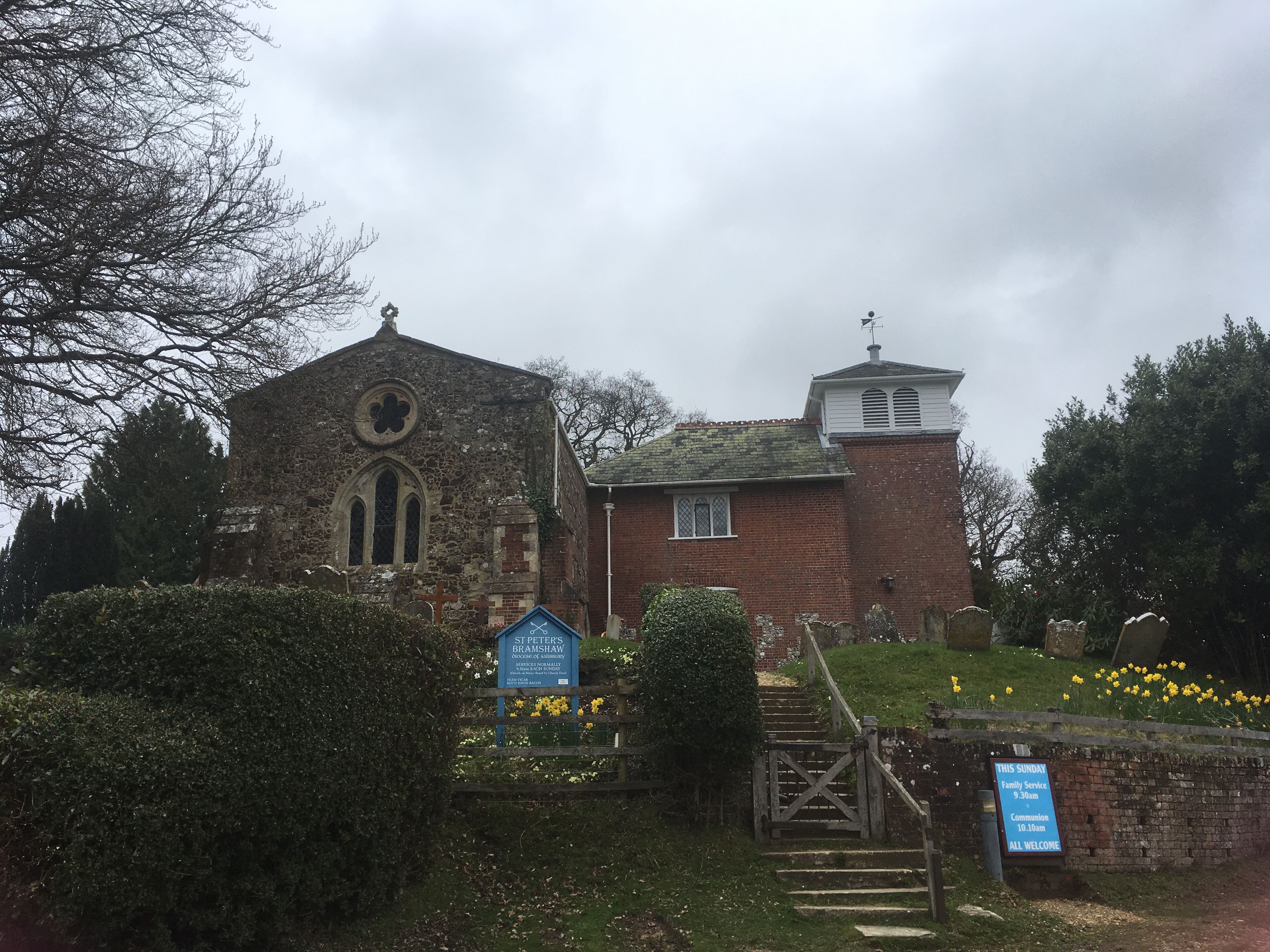
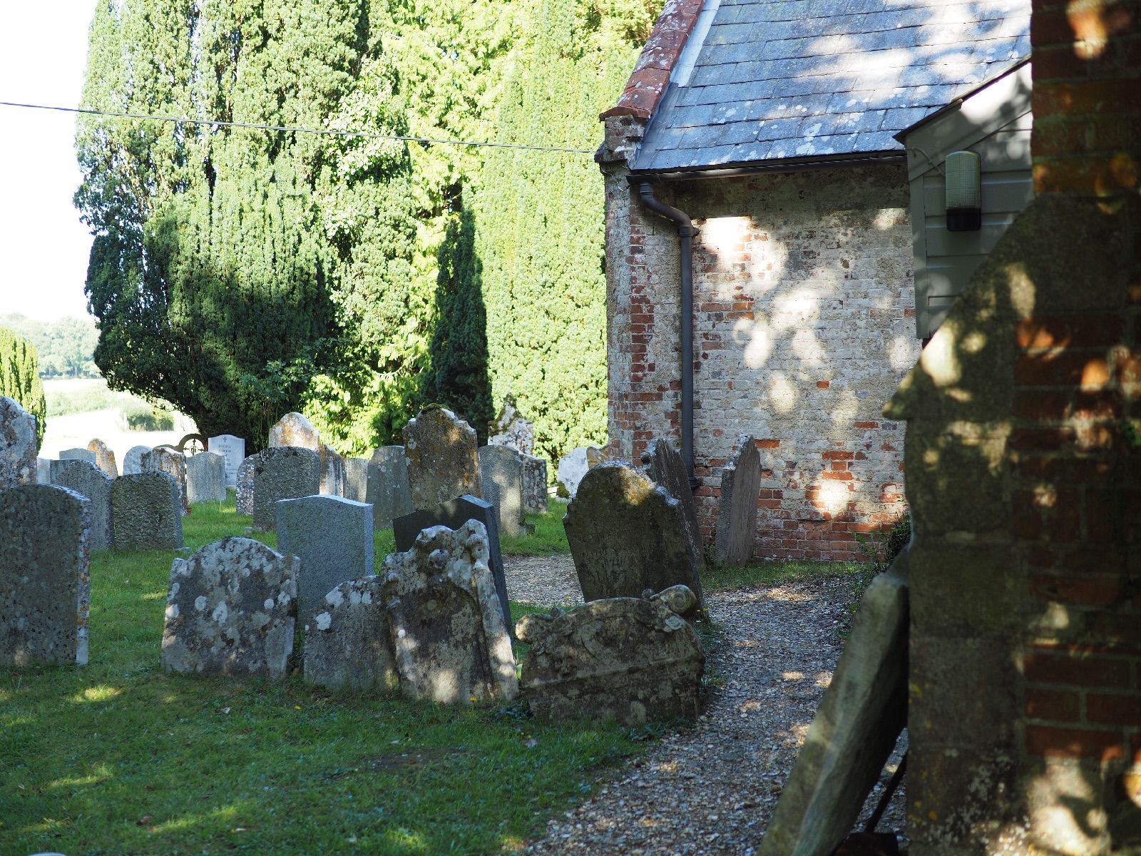
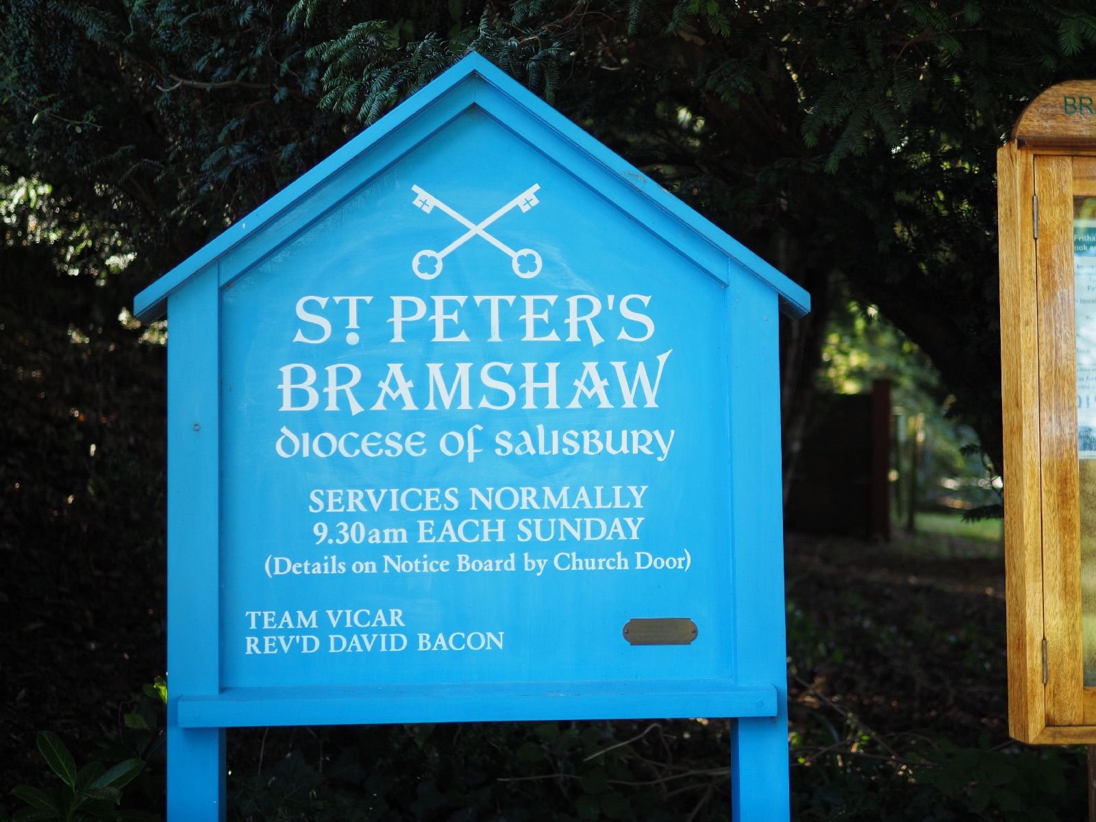
St. Peter's Churchyard is located at Judds Hill Bramshaw, New Forest District ,Hampshire , SO43 7JEEngland.
-
St. Peter's Churchyard cemetery's updated grave count on graveviews.com?
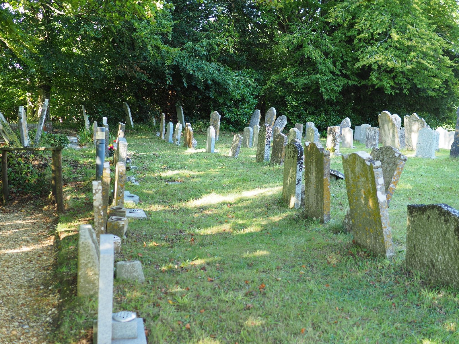
147 memorials
-
Where are the coordinates of the St. Peter's Churchyard?
Latitude: 50.9485800
Longitude: -1.6245700
Nearby Cemetories:
1. St Peter Churchyard
Plaitford, Test Valley Borough, England
Coordinate: 50.9815600, -1.6052890
2. St. Mary's Churchyard
Copythorne, New Forest District, England
Coordinate: 50.9307300, -1.5641400
3. St Margaret of Antioch Churchyard
East Wellow, Test Valley Borough, England
Coordinate: 50.9822010, -1.5699490
4. All Saints Churchyard
Minstead, New Forest District, England
Coordinate: 50.8967200, -1.6017160
5. St. Leonard Churchyard
Sherfield English, Test Valley Borough, England
Coordinate: 51.0001130, -1.5875130
6. St. Matthew's Churchyard
Netley Marsh, New Forest District, England
Coordinate: 50.9161620, -1.5285530
7. Christ Church Churchyard
Emery Down, New Forest District, England
Coordinate: 50.8742900, -1.5935600
8. St Mary Churchyard
Hale, New Forest District, England
Coordinate: 50.9670380, -1.7473110
9. All Saints Churchyard
Awbridge, Test Valley Borough, England
Coordinate: 51.0095230, -1.5391870
10. St Michael and All Angels Churchyard
Lyndhurst, New Forest District, England
Coordinate: 50.8722520, -1.5778710
11. Woodgreen Cemetery
Woodgreen, New Forest District, England
Coordinate: 50.9525032, -1.7574225
12. St Boniface Churchyard
Nursling, Test Valley Borough, England
Coordinate: 50.9464660, -1.4896760
13. Lyndhurst Cemetery
Lyndhurst, New Forest District, England
Coordinate: 50.8723000, -1.5644600
14. Romsey Abbey
Romsey, Test Valley Borough, England
Coordinate: 50.9896510, -1.5012580
15. St. Winfrith Churchyard
East Dean, Test Valley Borough, England
Coordinate: 51.0393480, -1.6115260
16. Christ Church Churchyard
Ashurst, New Forest District, England
Coordinate: 50.8960200, -1.5054200
17. St. John Churchyard
Lockerley, Test Valley Borough, England
Coordinate: 51.0387300, -1.5757930
18. Church of St. Michael and All the Angels
Downton, Wiltshire Unitary Authority, England
Coordinate: 51.0106010, -1.7411390
19. Holy Ascension Churchyard
Hyde, New Forest District, England
Coordinate: 50.9115300, -1.7660300
20. Eling Cemetery
Eling, New Forest District, England
Coordinate: 50.9092640, -1.4817810
21. Stuckton Congregational Chapelyard
New Forest District, England
Coordinate: 50.9182358, -1.7740048
22. St. Mary the Virgin Churchyard
Eling, New Forest District, England
Coordinate: 50.9103000, -1.4795700
23. Botley Road Cemetery
Romsey, Test Valley Borough, England
Coordinate: 50.9884090, -1.4784770
24. St Andrew Churchyard
Timsbury, Test Valley Borough, England
Coordinate: 51.0193310, -1.5084530