
| Memorials | : | 4 |
| Location | : | Almeley, Herefordshire Unitary Authority, England |
| Phone | : | 01544 327440 |
| Website | : | stmaryalmeley.org.uk/ |
| Coordinate | : | 52.1576900, -2.9767400 |
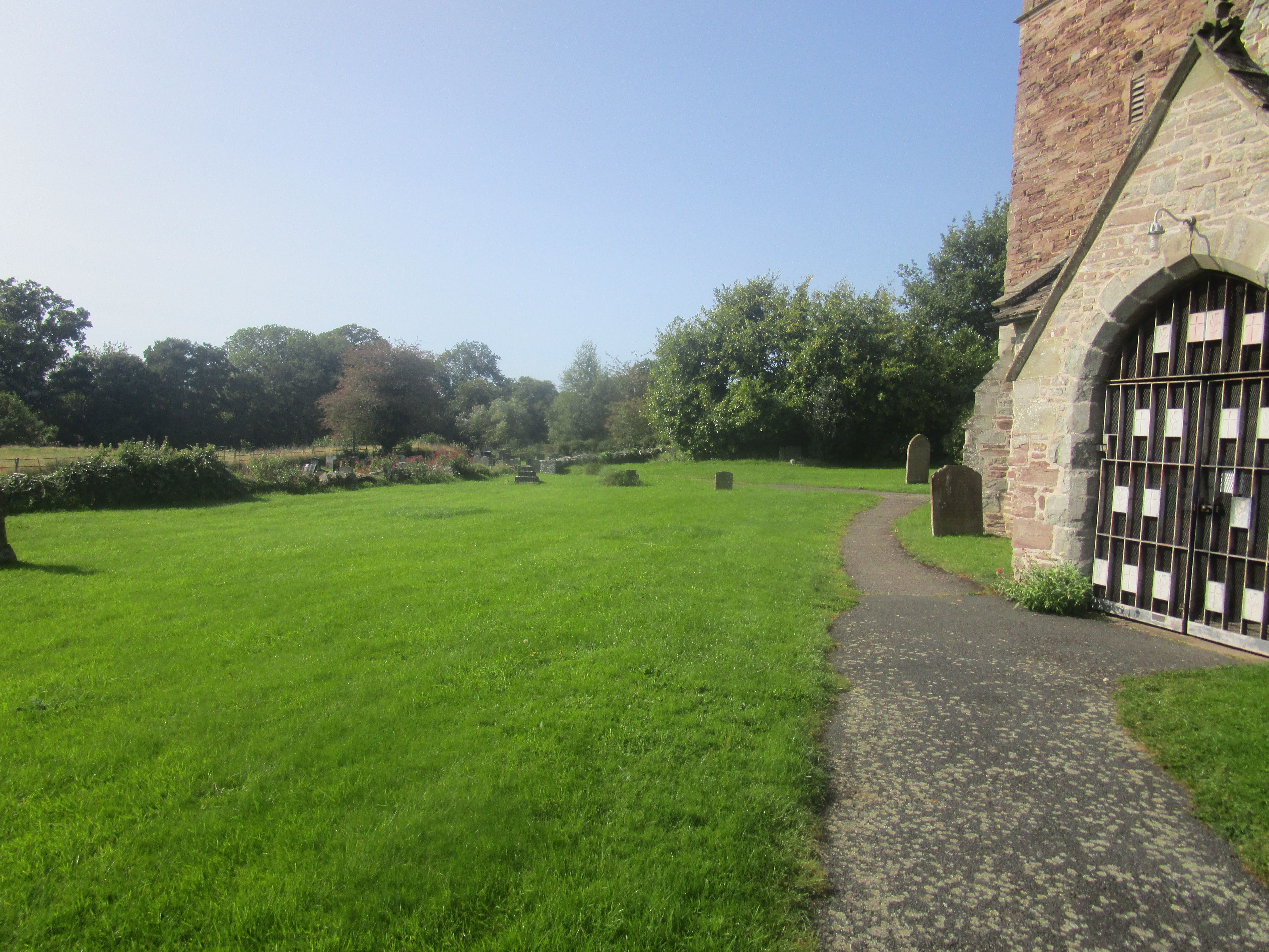
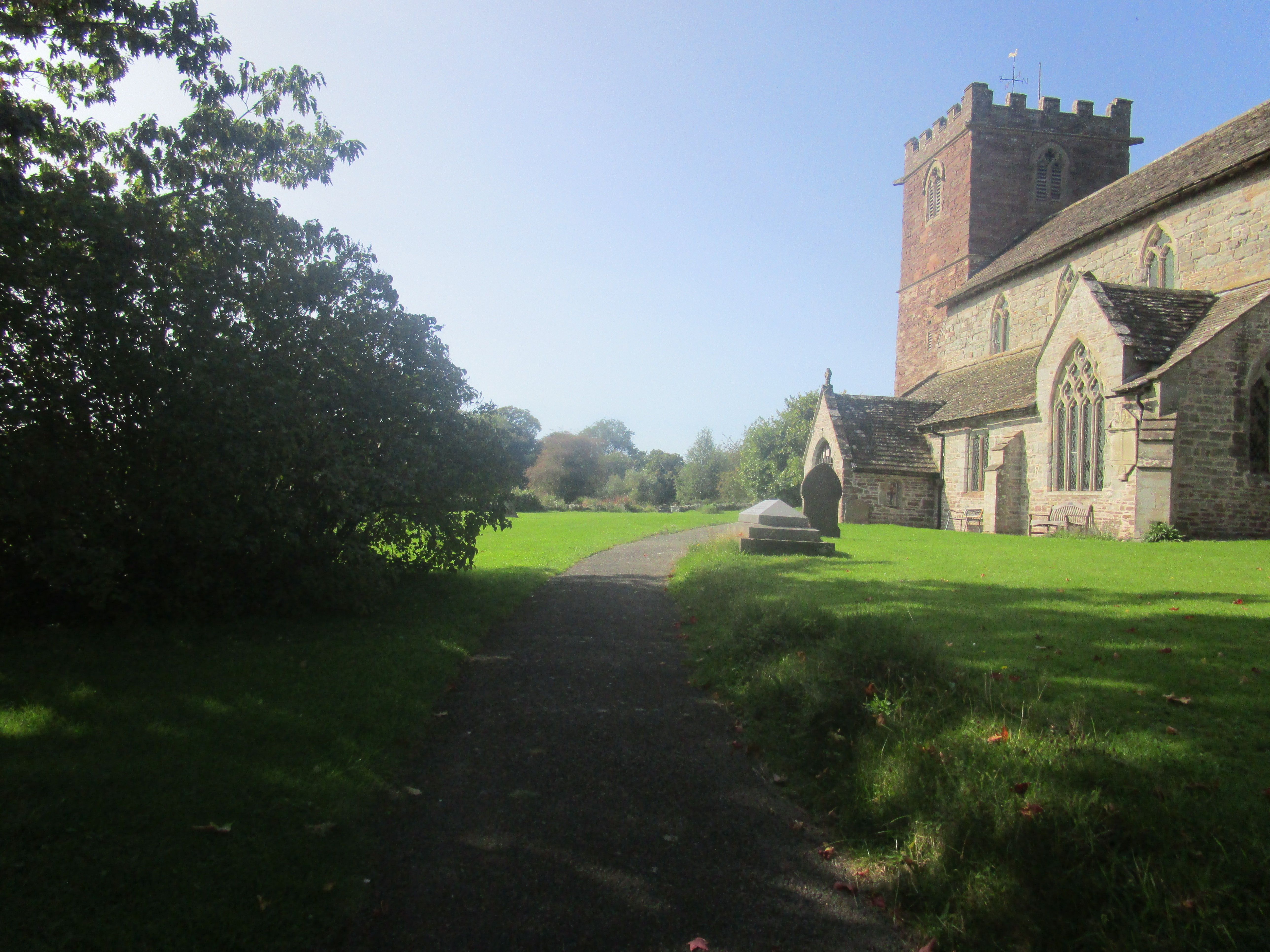
| Description | : | The date of origin for a church on this site is unknown, but the oldest part of the church dates to c. 1200. |
frequently asked questions (FAQ):
-
Where is St. Mary's Churchyard?
St. Mary's Churchyard is located at Church Terrace Almeley, Herefordshire Unitary Authority ,Herefordshire , HR3 6LBEngland.
-
St. Mary's Churchyard cemetery's updated grave count on graveviews.com?
4 memorials
-
Where are the coordinates of the St. Mary's Churchyard?
Latitude: 52.1576900
Longitude: -2.9767400


Nearby Cemetories:
1. St. Mary Magdalene Churchyard
Eardisley, Herefordshire Unitary Authority, England
Coordinate: 52.1366310, -3.0055730
2. Kington Cemetery
Kington, Herefordshire Unitary Authority, England
Coordinate: 52.1936780, -3.0209970
3. St Mary Churchyard
Kington, Herefordshire Unitary Authority, England
Coordinate: 52.2044990, -3.0384990
4. St Andrew Churchyard
Bredwardine, Herefordshire Unitary Authority, England
Coordinate: 52.0948000, -2.9725000
5. St Michael and All Angels Churchyard
Knill, Herefordshire Unitary Authority, England
Coordinate: 52.2377070, -3.0396000
6. St. Mary the Virgin
Kings Pyon, Herefordshire Unitary Authority, England
Coordinate: 52.1510000, -2.8218000
7. St. Leonard's Churchyard
Blakemere, Herefordshire Unitary Authority, England
Coordinate: 52.0646460, -2.9322980
8. Church of St. Mary
Cusop, Herefordshire Unitary Authority, England
Coordinate: 52.0670000, -3.1100000
9. St. Mary's Churchyard
Credenhill, Herefordshire Unitary Authority, England
Coordinate: 52.0905490, -2.8037610
10. Credenhill Military Cemetery
Credenhill, Herefordshire Unitary Authority, England
Coordinate: 52.0869980, -2.7899910
11. St Michael and All Angels Churchyard
Kingsland, Herefordshire Unitary Authority, England
Coordinate: 52.2469640, -2.8117000
12. St. John's Churchyard
Ivington, Herefordshire Unitary Authority, England
Coordinate: 52.2054890, -2.7700320
13. St. Michael and All Angels Churchyard
Lingen, Herefordshire Unitary Authority, England
Coordinate: 52.2992480, -2.9317460
14. Church of St John the Baptist and St Alkmund
Aymestrey, Herefordshire Unitary Authority, England
Coordinate: 52.2813000, -2.8428000
15. St. Margaret Church Cemetery
Wellington, Telford and Wrekin Unitary Authority, England
Coordinate: 52.1289570, -2.7320440
16. All Saint's Churchyard
Leominster, Herefordshire Unitary Authority, England
Coordinate: 52.2496430, -2.7703330
17. Leominster Cemetery
Leominster, Herefordshire Unitary Authority, England
Coordinate: 52.2144280, -2.7380940
18. Leominster Moravian Burial Ground
Leominster, Herefordshire Unitary Authority, England
Coordinate: 52.2230890, -2.7394685
19. St Michael and All Angels Churchyard
Croft, Herefordshire Unitary Authority, England
Coordinate: 52.2841090, -2.8079510
20. Priory Churchyard
Leominster, Herefordshire Unitary Authority, England
Coordinate: 52.2293470, -2.7357830
21. Leominster Nunnery (Defunct)
Leominster, Herefordshire Unitary Authority, England
Coordinate: 52.2294090, -2.7343900
22. All Saints Church
Clehonger, Herefordshire Unitary Authority, England
Coordinate: 52.0373470, -2.7806970
23. Hereford Cemetery and Crematorium
Hereford, Herefordshire Unitary Authority, England
Coordinate: 52.0579510, -2.7389730
24. St Michael and All Angels
Bodenham, Herefordshire Unitary Authority, England
Coordinate: 52.1552320, -2.6884330