
| Memorials | : | 0 |
| Location | : | Robertsbridge, Rother District, England |
| Coordinate | : | 50.9790497, 0.4561470 |
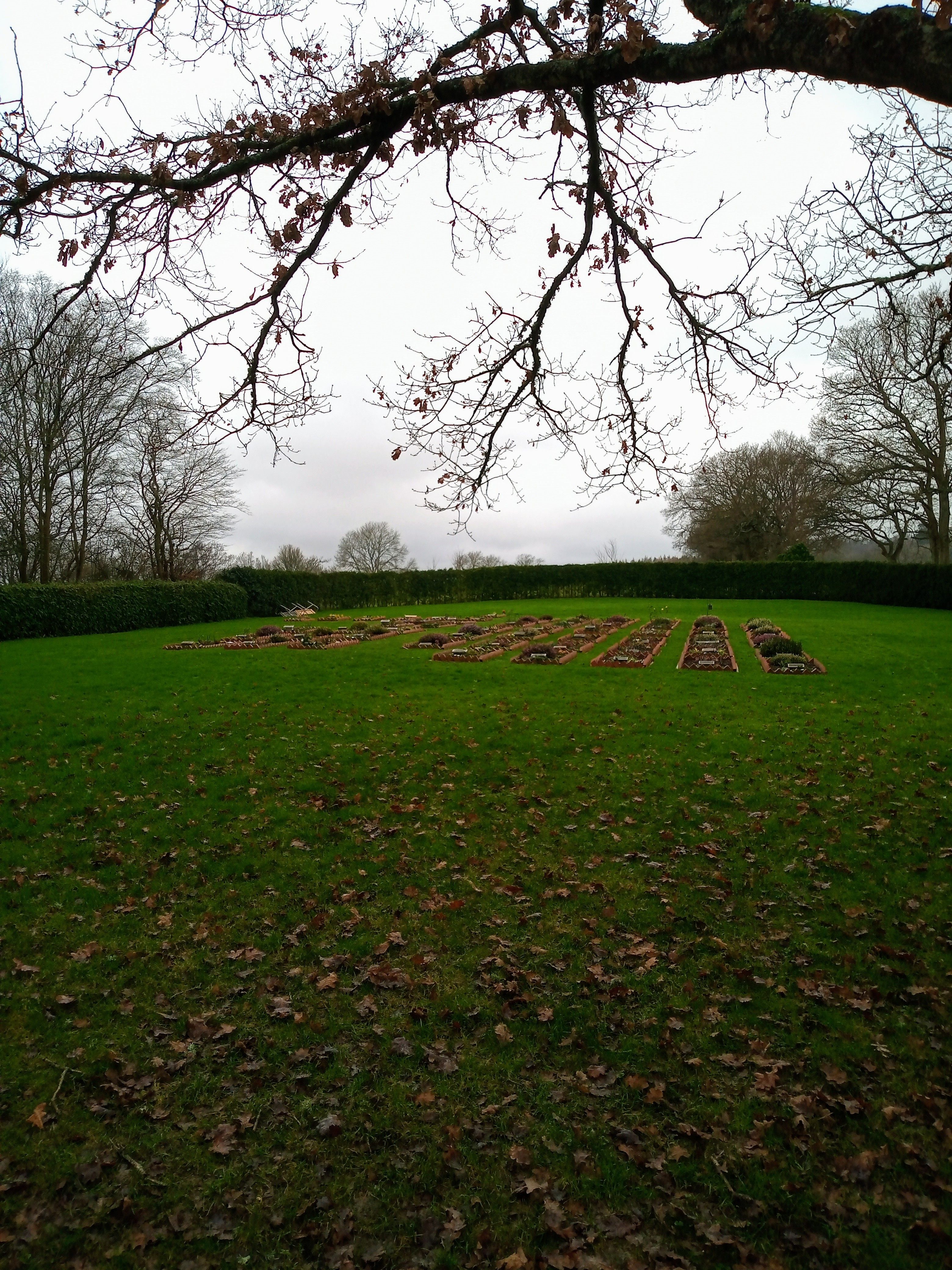
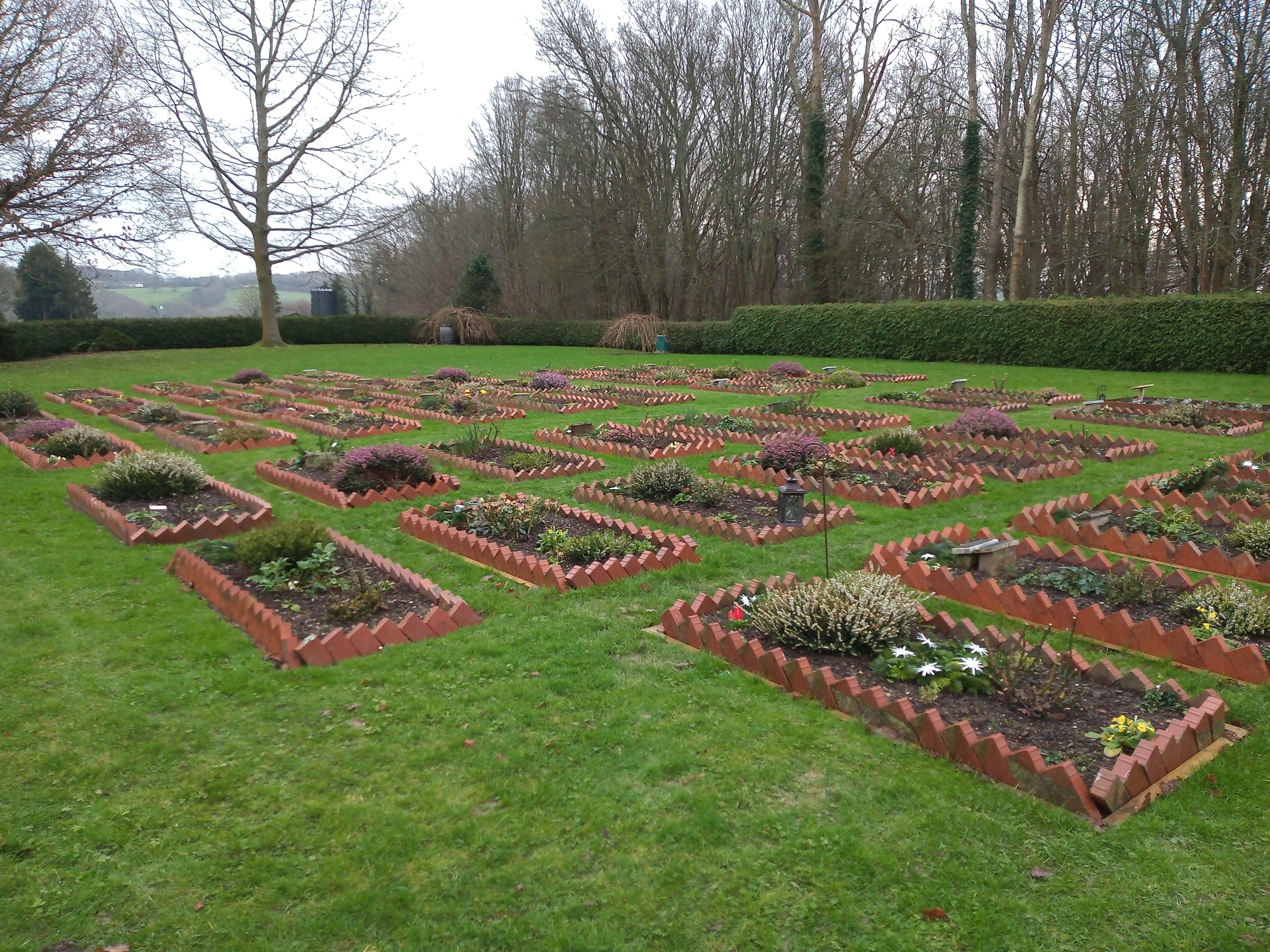
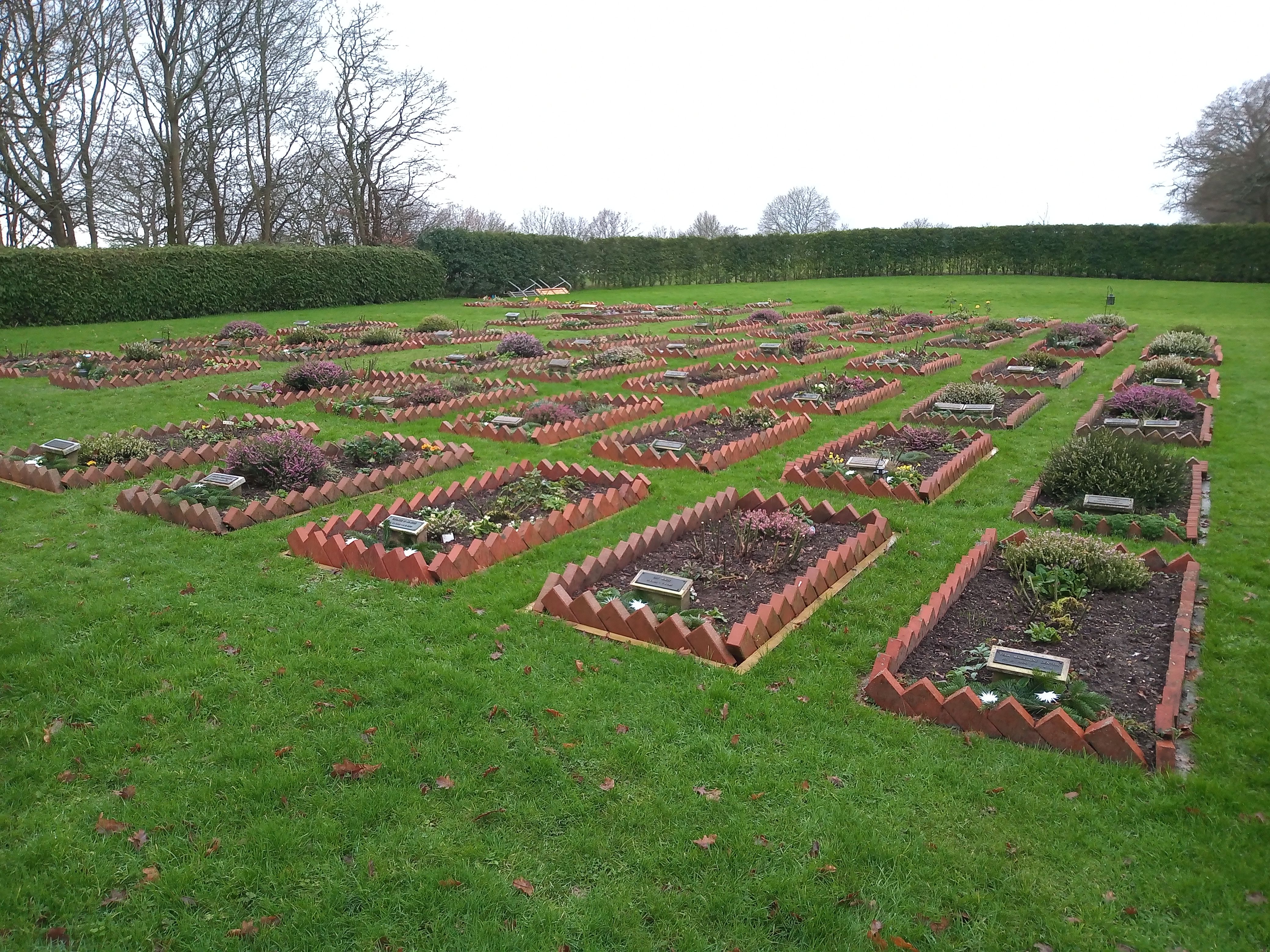
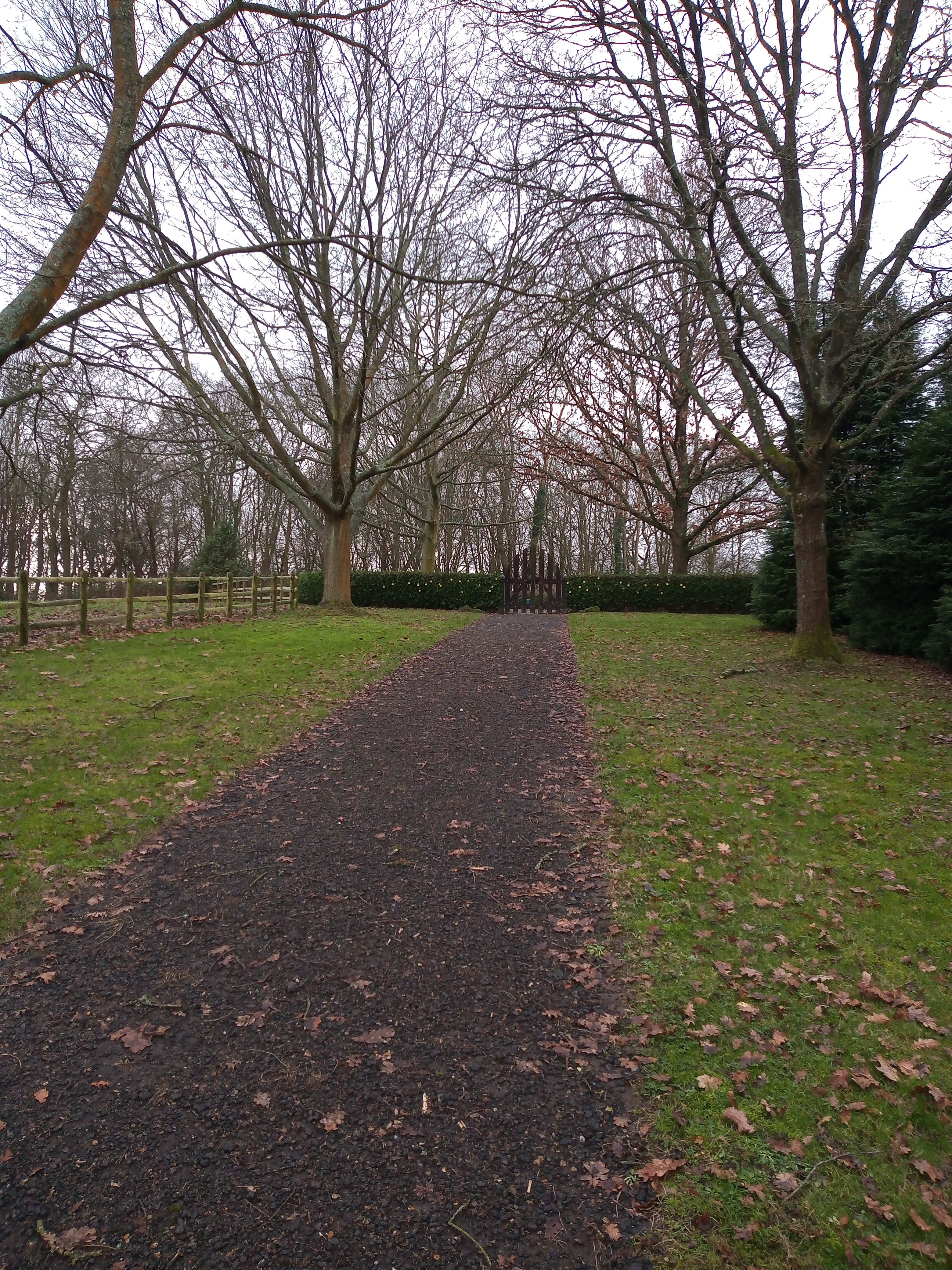
| Description | : | This is a private cemetery but it is just off of a public footpath. If one enters the coordinates for the cemetery's location into Google Earth it should be fairly easy to find. NOTE: This cemetery is in the village of Robertsbridge, East Sussex. (It is not in Battle or Bexhill.) |
frequently asked questions (FAQ):
-
Where is Darvell Bruderhof Cemetery?
Darvell Bruderhof Cemetery is located at Robertsbridge, Rother District ,East Sussex ,England.
-
Darvell Bruderhof Cemetery cemetery's updated grave count on graveviews.com?
0 memorials
-
Where are the coordinates of the Darvell Bruderhof Cemetery?
Latitude: 50.9790497
Longitude: 0.4561470
Nearby Cemetories:
1. All Saints Churchyard
Mountfield, Rother District, England
Coordinate: 50.9558449, 0.4685820
2. St Mary the Virgin Churchyard
Salehurst, Rother District, England
Coordinate: 50.9910170, 0.4911260
3. Assumption of Blessed Mary & St. Nicholas Church
Etchingham, Rother District, England
Coordinate: 51.0095830, 0.4416420
4. St John The Baptist Churchyard
Mountfield, Rother District, England
Coordinate: 50.9404170, 0.4512760
5. St. Thomas A. Becket Churchyard
Brightling, Rother District, England
Coordinate: 50.9638440, 0.3961020
6. Holy Trinity Churchyard
Hurst Green, Rother District, England
Coordinate: 51.0201400, 0.4691080
7. St. Bartholomew's Churchyard
Burwash, Rother District, England
Coordinate: 50.9976470, 0.3887490
8. St. Joseph's Roman Catholic Churchyard
Burwash, Rother District, England
Coordinate: 50.9963500, 0.3782670
9. St Mary Magdalene Churchyard
Whatlington, Rother District, England
Coordinate: 50.9365900, 0.5042980
10. St. John Baptist Anglcian Churchyard
Sedlescombe, Rother District, England
Coordinate: 50.9412440, 0.5281560
11. Saint Giles' Churchyard
Bodiam, Rother District, England
Coordinate: 51.0074800, 0.5393000
12. Hawkhurst Cemetery
Hawkhurst, Tunbridge Wells Borough, England
Coordinate: 51.0302300, 0.5051300
13. St Michael the Archangel Churchyard
Penhurst, Rother District, England
Coordinate: 50.9235920, 0.4092830
14. Ewhurst Green Churchyard
Ewhurst, Rother District, England
Coordinate: 50.9924300, 0.5572900
15. St. Laurence Churchyard
Hawkhurst, Tunbridge Wells Borough, England
Coordinate: 51.0377240, 0.5031610
16. St Mary the Virgin Churchyard
Battle, Rother District, England
Coordinate: 50.9150690, 0.4883620
17. Battle Abbey
Battle, Rother District, England
Coordinate: 50.9144940, 0.4875140
18. Battle Cemetery
Battle, Rother District, England
Coordinate: 50.9155800, 0.4935500
19. St. Giles' Churchyard
Dallington, Rother District, England
Coordinate: 50.9470960, 0.3585090
20. Saint Augustine's Churchyard
Flimwell, Rother District, England
Coordinate: 51.0514170, 0.4580350
21. St. Peter's Churchyard
Stonegate, Rother District, England
Coordinate: 51.0303090, 0.3747690
22. St. Mary's Churchyard
Ticehurst, Rother District, England
Coordinate: 51.0454030, 0.4077110
23. St Philips Churchyard
Burwash, Rother District, England
Coordinate: 50.9889020, 0.3350510
24. St. Peter's Churchyard
Ashburnham, Rother District, England
Coordinate: 50.9056730, 0.4014650