
| Memorials | : | 0 |
| Location | : | Mountfield, Rother District, England |
| Coordinate | : | 50.9404170, 0.4512760 |
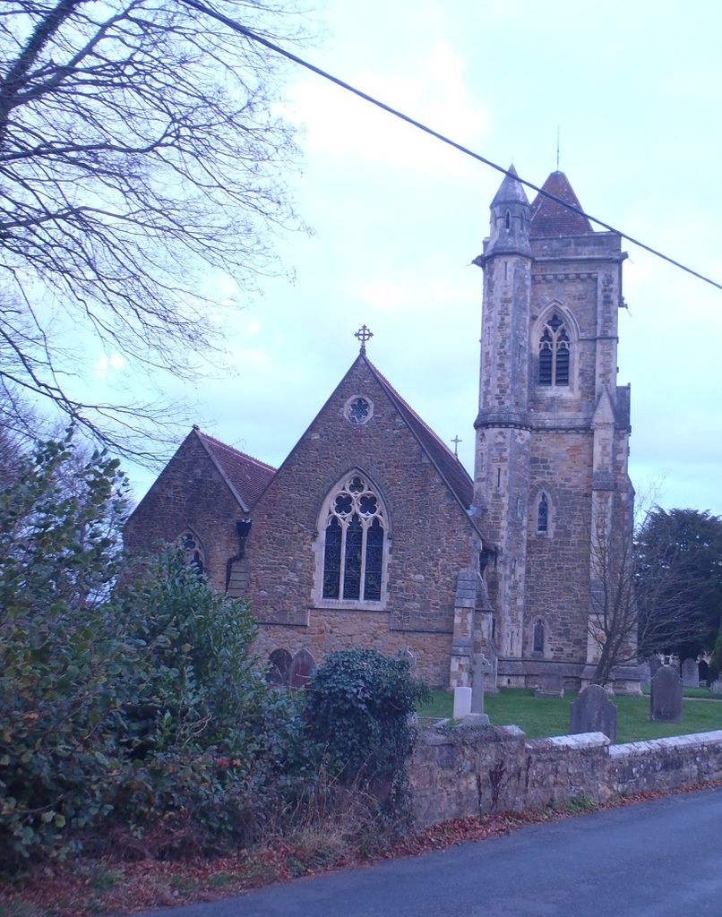
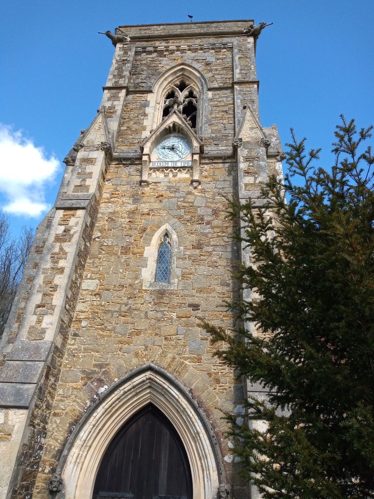
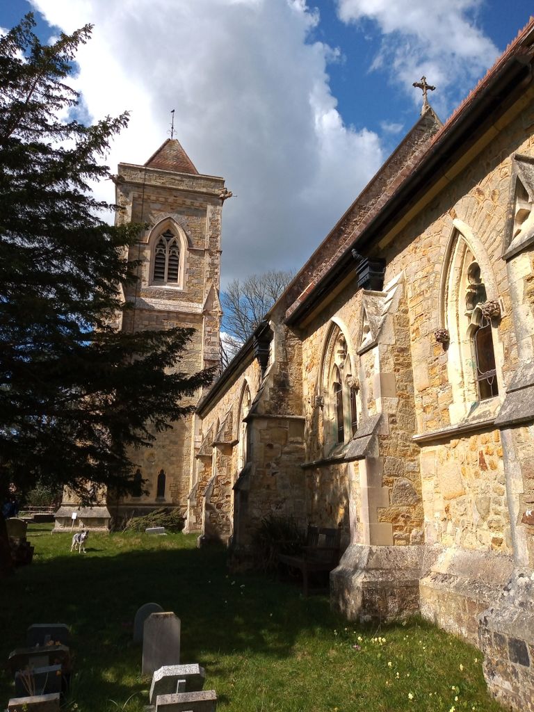
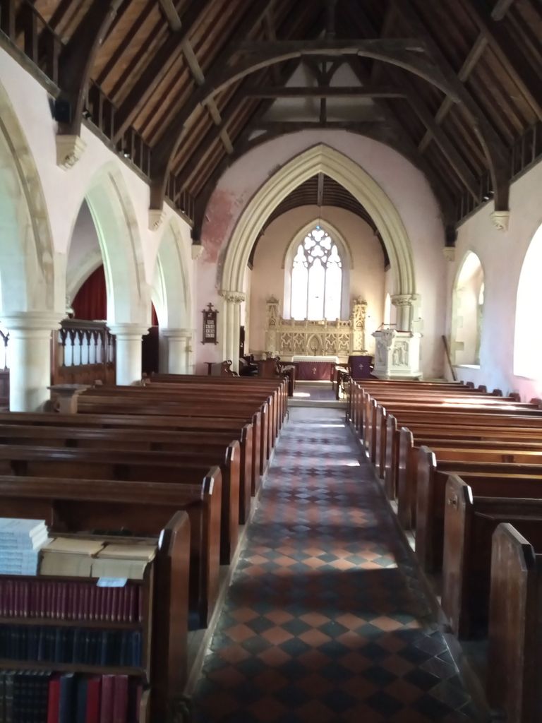
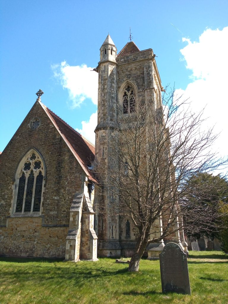
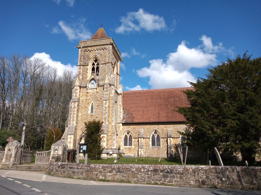
| Description | : | The parish church was dedicated in 1860, and was a gift to the village by Lady Webster in memory of her husband, Sir Godfrey Webster of Battle Abbey. Prior to this services were held in the barn of a local farm. The church was designed by Samuel Sanders Teulon , a controversial Victorian architect, he also designed the Holy Trinity Church in Hastings. The church is dedicated to St John the Baptist. This fact is somewhat grotesquely commemorated by a painting on the north wall by the 17th century artist Giovanni Barbieni, of the unfortunate St John's head on a... Read More |
frequently asked questions (FAQ):
-
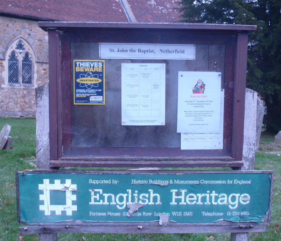
Where is St John The Baptist Churchyard?
St John The Baptist Churchyard is located at Netherfield Rd Mountfield, Rother District ,East Sussex ,England.
-
St John The Baptist Churchyard cemetery's updated grave count on graveviews.com?
0 memorials
-
Where are the coordinates of the St John The Baptist Churchyard?
Latitude: 50.9404170
Longitude: 0.4512760
Nearby Cemetories:
1. All Saints Churchyard
Mountfield, Rother District, England
Coordinate: 50.9558449, 0.4685820
2. St Michael the Archangel Churchyard
Penhurst, Rother District, England
Coordinate: 50.9235920, 0.4092830
3. St Mary Magdalene Churchyard
Whatlington, Rother District, England
Coordinate: 50.9365900, 0.5042980
4. St Mary the Virgin Churchyard
Battle, Rother District, England
Coordinate: 50.9150690, 0.4883620
5. Battle Abbey
Battle, Rother District, England
Coordinate: 50.9144940, 0.4875140
6. Battle Cemetery
Battle, Rother District, England
Coordinate: 50.9155800, 0.4935500
7. Darvell Bruderhof Cemetery
Robertsbridge, Rother District, England
Coordinate: 50.9790497, 0.4561470
8. St. Thomas A. Becket Churchyard
Brightling, Rother District, England
Coordinate: 50.9638440, 0.3961020
9. St. Laurence Churchyard
Catsfield, Rother District, England
Coordinate: 50.8938230, 0.4563190
10. St. Peter's Churchyard
Ashburnham, Rother District, England
Coordinate: 50.9056730, 0.4014650
11. St. John Baptist Anglcian Churchyard
Sedlescombe, Rother District, England
Coordinate: 50.9412440, 0.5281560
12. St Mary the Virgin Churchyard
Salehurst, Rother District, England
Coordinate: 50.9910170, 0.4911260
13. St. Mary the Virgin Churchyard
Ninfield, Wealden District, England
Coordinate: 50.8848760, 0.4224590
14. St. Giles' Churchyard
Dallington, Rother District, England
Coordinate: 50.9470960, 0.3585090
15. Crowhurst Churchyard
Crowhurst, Rother District, England
Coordinate: 50.8838070, 0.4968630
16. Assumption of Blessed Mary & St. Nicholas Church
Etchingham, Rother District, England
Coordinate: 51.0095830, 0.4416420
17. St. Bartholomew's Churchyard
Burwash, Rother District, England
Coordinate: 50.9976470, 0.3887490
18. St. Joseph's Roman Catholic Churchyard
Burwash, Rother District, England
Coordinate: 50.9963500, 0.3782670
19. Ebenezer Baptist Chapel
Bodle Street Green, Wealden District, England
Coordinate: 50.9102250, 0.3438700
20. St. John the Evangelist Churchyard
Bodle Street Green, Wealden District, England
Coordinate: 50.9041214, 0.3465680
21. Holy Trinity Churchyard
Hurst Green, Rother District, England
Coordinate: 51.0201400, 0.4691080
22. Bexhill Cemetery
Bexhill-on-Sea, Rother District, England
Coordinate: 50.8587980, 0.4517460
23. St John the Baptist Churchyard
Westfield, Rother District, England
Coordinate: 50.9080090, 0.5729280
24. Ewhurst Green Churchyard
Ewhurst, Rother District, England
Coordinate: 50.9924300, 0.5572900