| Memorials | : | 860 |
| Location | : | Little Chart, Ashford Borough, England |
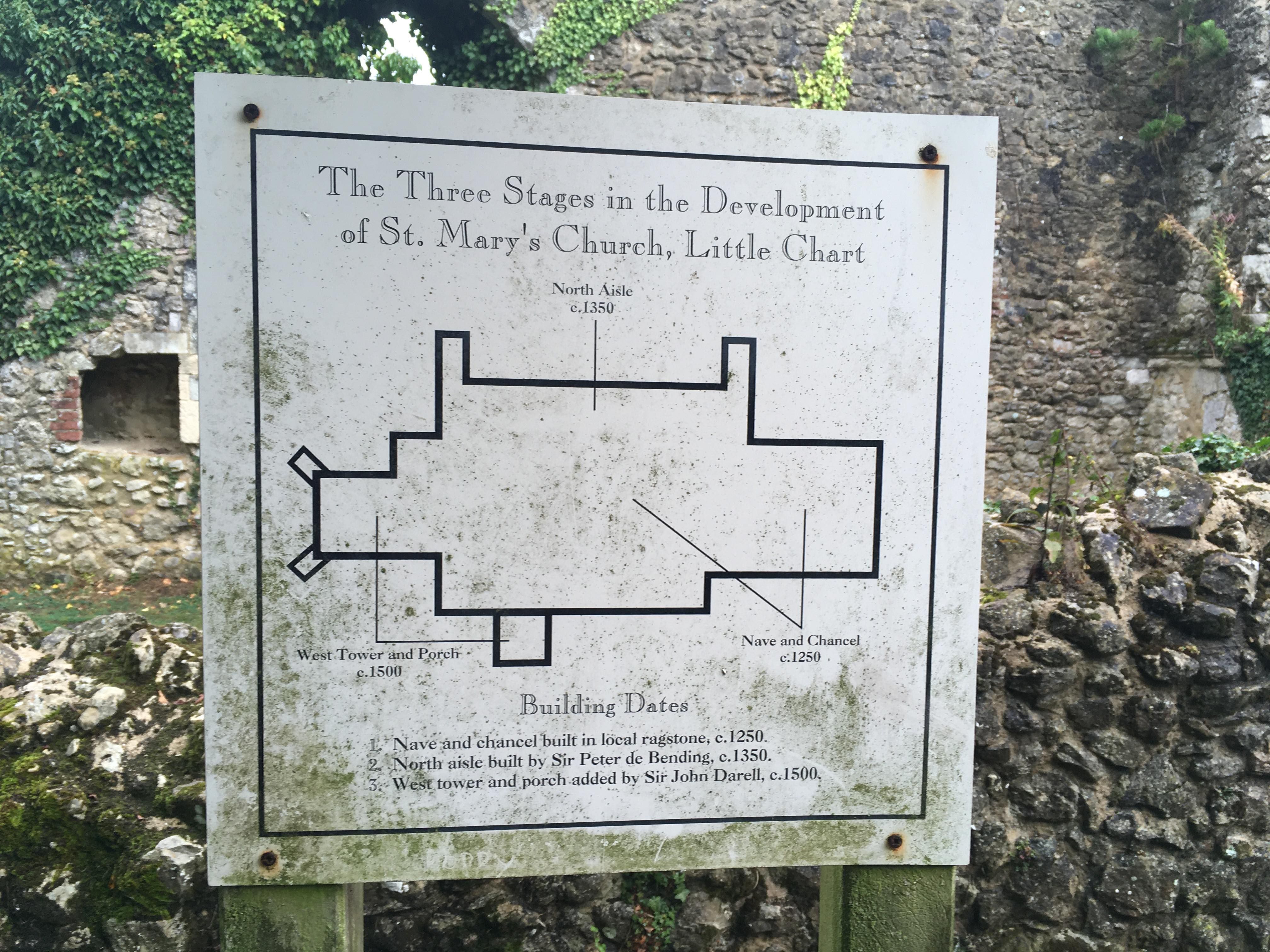
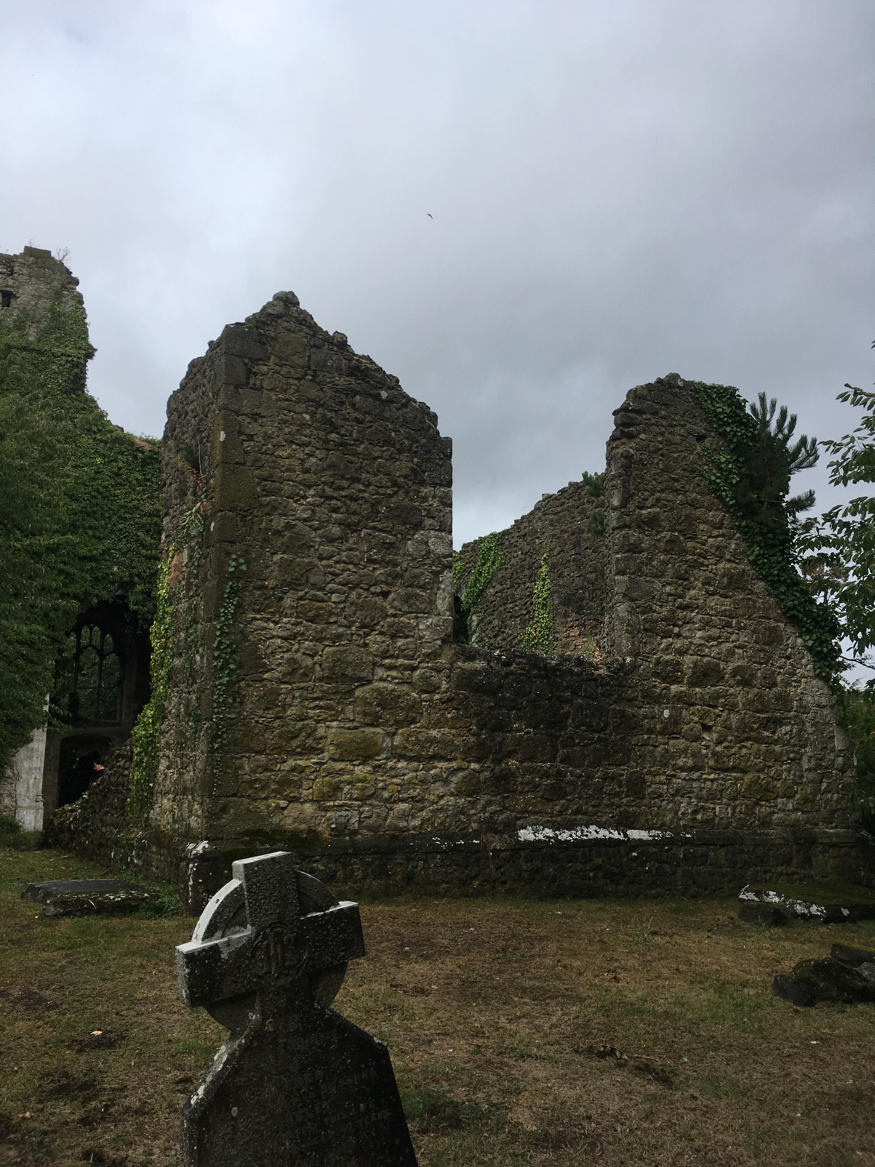
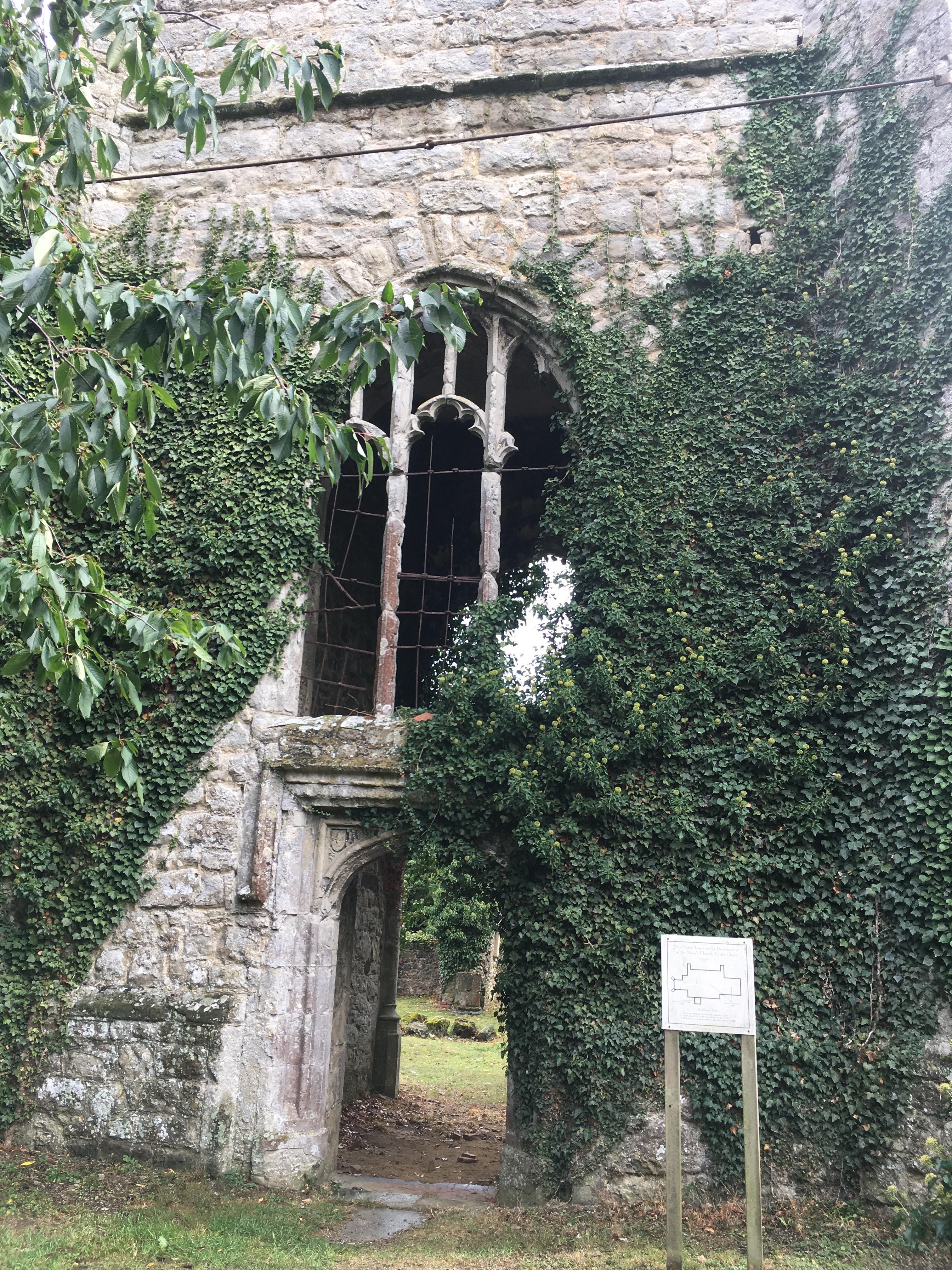
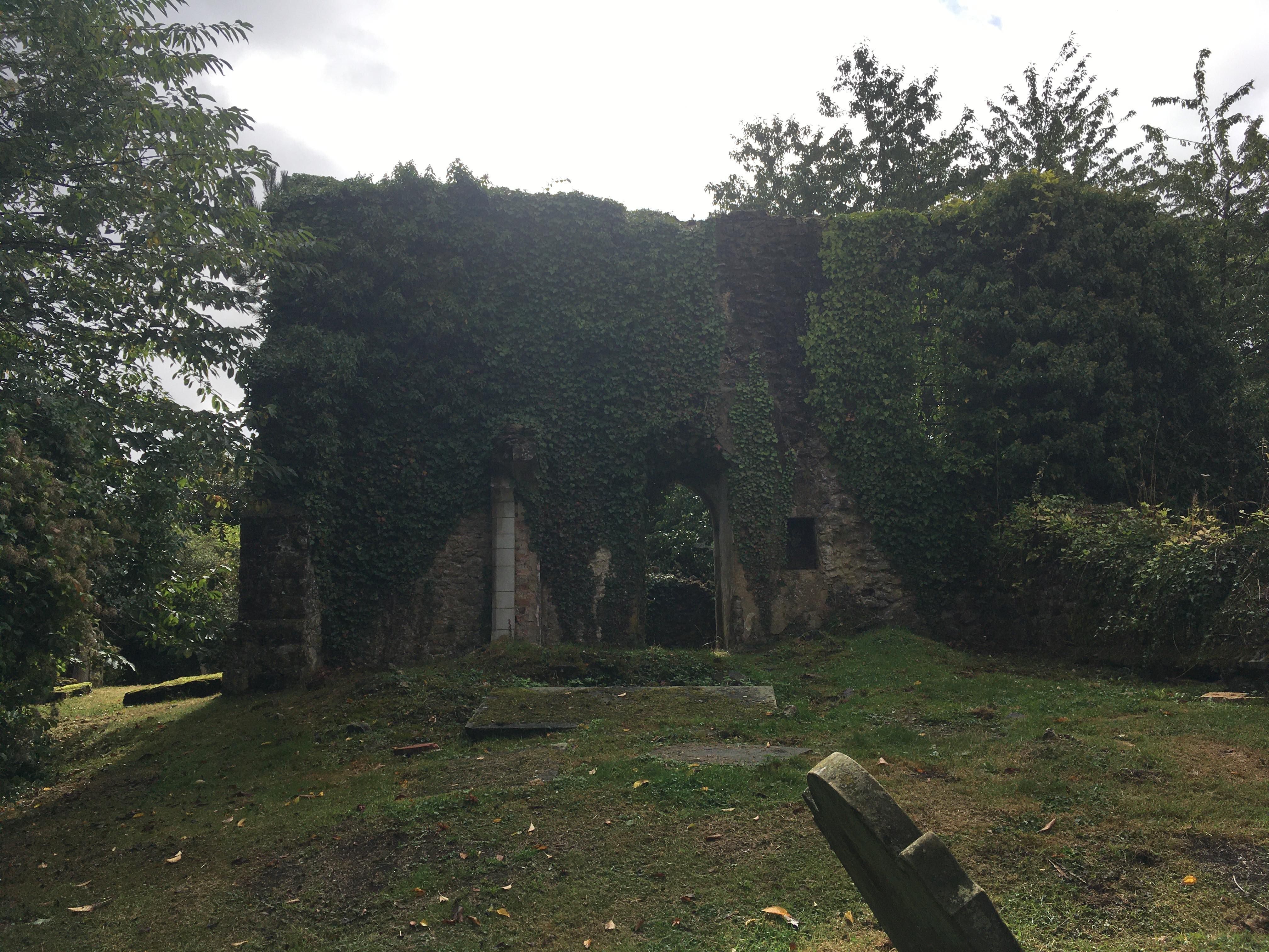
| Description | : | The church was dedicated to Saint Mary the Virgin and the Holy Rood having been built by the Normans in the 11th century. The Darells of Calehill were a prominent family in the area and the North aisle became well known for the monuments to members of the Darell family that were buried there It fell into disrepair after 1713, when the Roman Catholic side of the family inherited Calehill and built their own Church, so support was withdrawn from the Anglican Church. It was a building of sandstone with two aisles, two chancels with a steeple at the west... Read More |
frequently asked questions (FAQ):
-
Where is St. Mary the Virgin and the Holy Rood?
St. Mary the Virgin and the Holy Rood is located at No GPS information available Add GPSSmarden Rd Little Chart, Ashford Borough ,Kent , TN27 0QHEngland.
-
St. Mary the Virgin and the Holy Rood cemetery's updated grave count on graveviews.com?
860 memorials
Nearby Cemetories:
1. St. Margaret's Churchyard
Bethersden, Ashford Borough, England
2. St Cosmas and St Damian Churchyard
Challock, Ashford Borough, England
3. St. Mary the Virgin Churchyard
High Halden, Ashford Borough, England
Coordinate: 51.0546000, 0.8164000
4. St Mary's Churchyard
Little Chart, Ashford Borough, England
Coordinate: 51.2328420, 0.8974670
5. St. Mary the Virgin Churchyard
Reading Street, Ashford Borough, England
6. St John the Baptist
Small Hythe, Ashford Borough, England
Coordinate: 51.0506590, 0.6310280
7. Ebony Old Cemetery
Stone-cum-Ebony, Ashford Borough, England
Coordinate: 51.0334570, 0.8710390
8. St Mary the Virgin Churchyard
Stone-cum-Ebony, Ashford Borough, England
9. All Saints Churchyard
Woodchurch, Ashford Borough, England
Coordinate: 51.0115600, 0.7016000
10. All Saints Churchyard
Biddenden, Ashford Borough, England
Coordinate: 51.0713940, 0.9136430
11. Ebeneezer Chapel
Biddenden, Ashford Borough, England
Coordinate: 51.1963280, 0.9086490
12. St Mary Churchyard
Brook, Ashford Borough, England
Coordinate: 51.2446240, 0.9626660
13. Eastwell
Eastwell, Ashford Borough, England
14. St. Mary's Churchyard
Eastwell, Ashford Borough, England
15. St Mary's Churchyard
Kenardington, Ashford Borough, England
Coordinate: 51.0546000, 0.8164000
16. St Peter Churchyard
Molash, Ashford Borough, England
Coordinate: 51.2328420, 0.8974670
17. St. Mary The Virgin Anglican Churchyard
Rolvenden, Ashford Borough, England
18. St. Mary the Virgin Churchyard
Rolvenden, Ashford Borough, England
Coordinate: 51.0506590, 0.6310280
19. St Augustine Church
Snave, Ashford Borough, England
Coordinate: 51.0334570, 0.8710390
20. Saint John the Baptist Churchyard
Wittersham, Ashford Borough, England
21. Wittersham
Wittersham, Ashford Borough, England
Coordinate: 51.0115600, 0.7016000
22. St. Peter and St. Paul's Churchyard
Bilsington, Ashford Borough, England
Coordinate: 51.0713940, 0.9136430
23. All Saints Churchyard
Boughton Aluph, Ashford Borough, England
Coordinate: 51.1963280, 0.9086490
24. St. Mary Churchyard
Chilham, Ashford Borough, England
Coordinate: 51.2446240, 0.9626660


