
| Memorials | : | 100 |
| Location | : | Reading Street, Ashford Borough, England |
| Coordinate | : | 51.0431442, 0.7400970 |
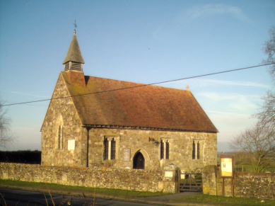
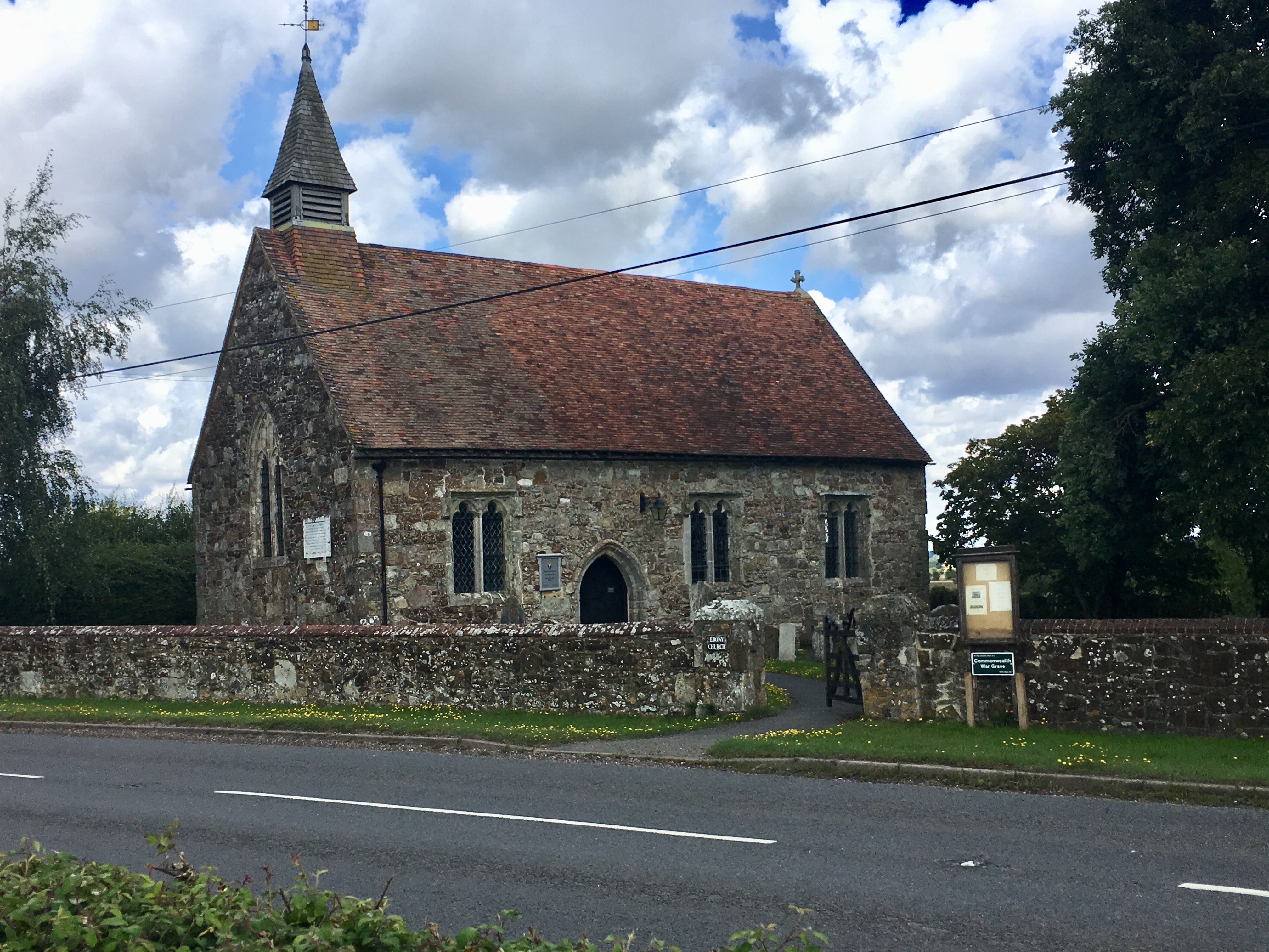
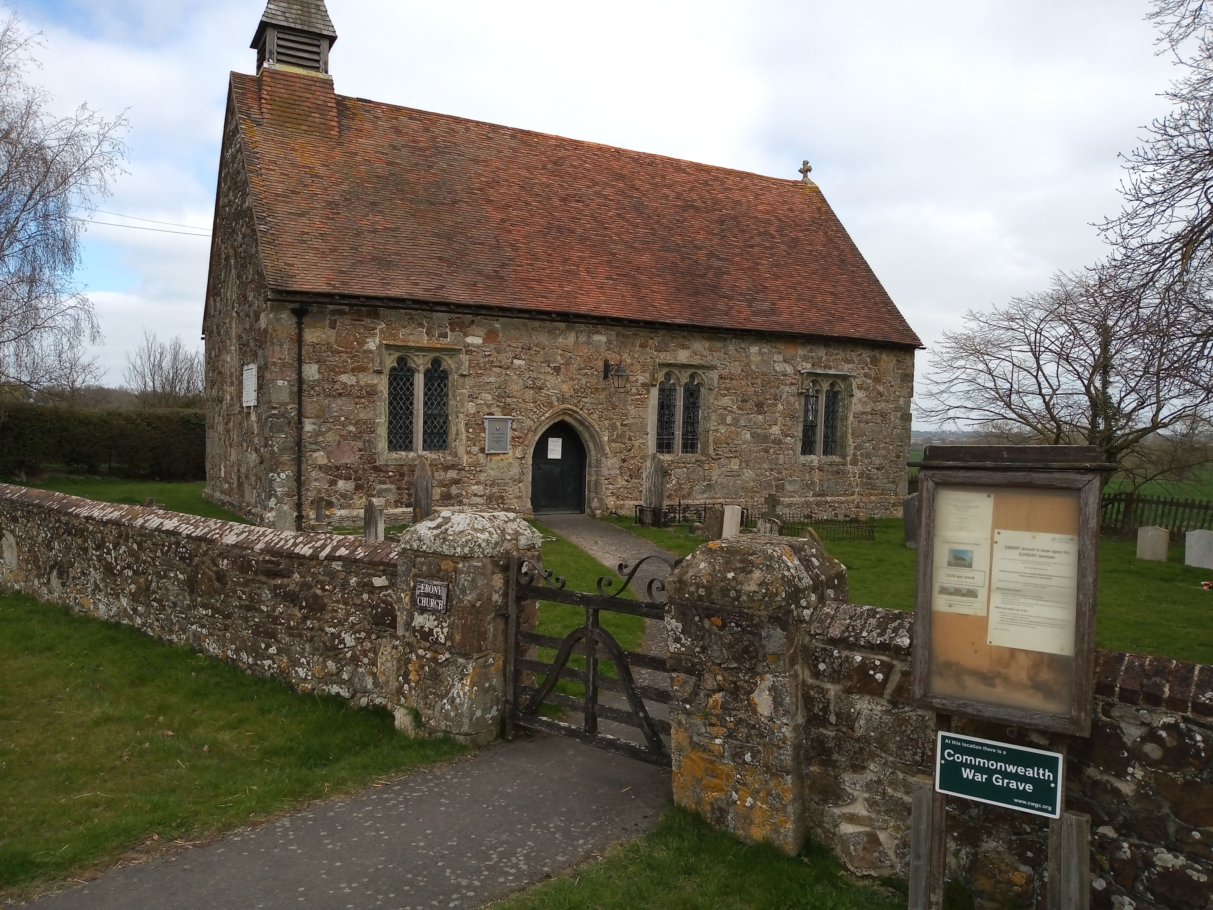
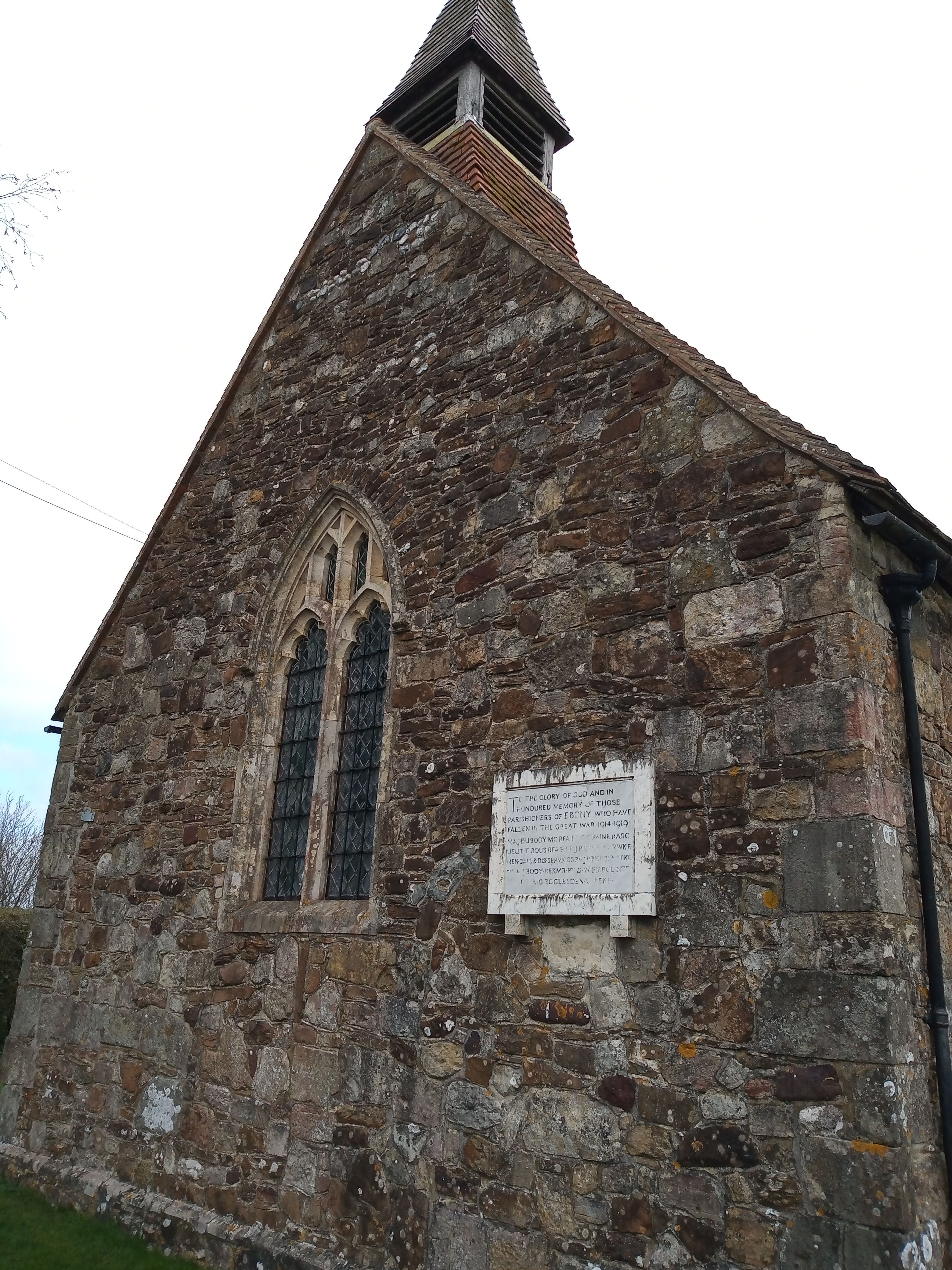
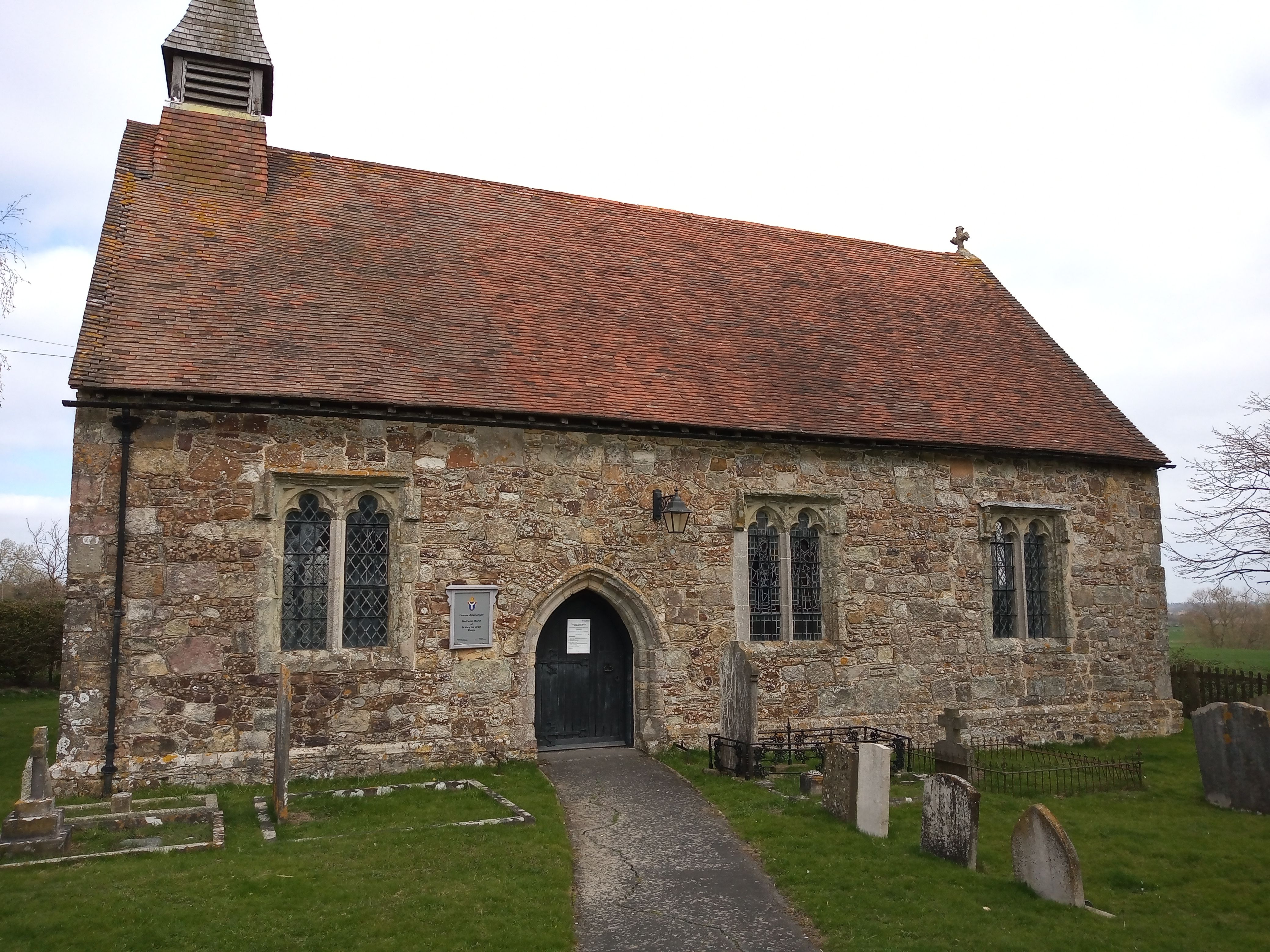
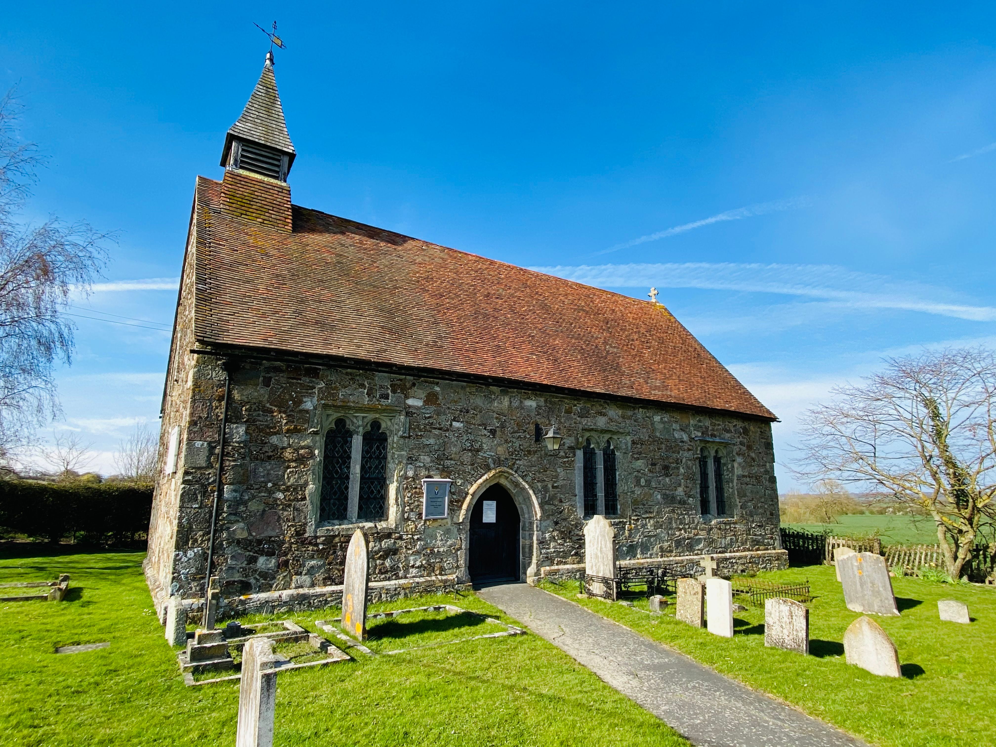
| Description | : | In 1858, the church was dismantled in Ebony, stone by stone, and it was reassembled at its present location on Reading Street. |
frequently asked questions (FAQ):
-
Where is St. Mary the Virgin Churchyard?
St. Mary the Virgin Churchyard is located at Reading Street Reading Street, Ashford Borough ,Kent , TN30 7HTEngland.
-
St. Mary the Virgin Churchyard cemetery's updated grave count on graveviews.com?
100 memorials
-
Where are the coordinates of the St. Mary the Virgin Churchyard?
Latitude: 51.0431442
Longitude: 0.7400970

Nearby Cemetories:
1. Ebony Old Cemetery
Stone-cum-Ebony, Ashford Borough, England
Coordinate: 51.0378926, 0.7422129
2. St John the Baptist
Small Hythe, Ashford Borough, England
Coordinate: 51.0396260, 0.6996060
3. St Mary the Virgin Churchyard
Stone-cum-Ebony, Ashford Borough, England
Coordinate: 51.0127980, 0.7645592
4. St Peter and St Paul Churchyard
Appledore, Ashford Borough, England
Coordinate: 51.0295660, 0.7903990
5. Wittersham
Wittersham, Ashford Borough, England
Coordinate: 51.0115600, 0.7016000
6. St. Mildred's Churchyard
Tenterden, Ashford Borough, England
Coordinate: 51.0686264, 0.6870960
7. Unitarian Old Meeting House
Tenterden, Ashford Borough, England
Coordinate: 51.0717468, 0.6906880
8. All Saints Churchyard
Woodchurch, Ashford Borough, England
Coordinate: 51.0807110, 0.7709980
9. Station Road Extension
Tenterden, Ashford Borough, England
Coordinate: 51.0686640, 0.6852830
10. Tenterden Cemetery
Tenterden, Ashford Borough, England
Coordinate: 51.0676820, 0.6737140
11. St Mary's Churchyard
Kenardington, Ashford Borough, England
Coordinate: 51.0546000, 0.8164000
12. St. Thomas à Becket Cemetery
Fairfield, Shepway District, England
Coordinate: 51.0043210, 0.7993930
13. St. Michael and All Angels Churchyard
Tenterden, Ashford Borough, England
Coordinate: 51.0867424, 0.6894140
14. St. Mary the Virgin Churchyard
High Halden, Ashford Borough, England
Coordinate: 51.1028950, 0.7148620
15. Iden Burial Ground
Iden, Rother District, England
Coordinate: 50.9813000, 0.7275300
16. All Saints Churchyard
Iden, Rother District, England
Coordinate: 50.9812930, 0.7275500
17. St. Matthew Churchyard
Warehorne, Ashford Borough, England
Coordinate: 51.0575460, 0.8375700
18. St. Dunstan Churchyard
Snargate, Shepway District, England
Coordinate: 51.0227100, 0.8371750
19. St. Mary the Virgin Churchyard
Rolvenden, Ashford Borough, England
Coordinate: 51.0506590, 0.6310280
20. St Augustine Church
Brookland, Shepway District, England
Coordinate: 50.9973880, 0.8337460
21. Ss Peter & Paul Churchyard
Shadoxhurst, Ashford Borough, England
Coordinate: 51.1044850, 0.8144740
22. Brenzett Cemetery
Brenzett, Shepway District, England
Coordinate: 51.0130800, 0.8561300
23. St Mary the Virgin Churchyard
Orlestone, Ashford Borough, England
Coordinate: 51.0767000, 0.8539000
24. St Enswith's Church
Brenzett, Shepway District, England
Coordinate: 51.0138510, 0.8573170