
| Memorials | : | 119 |
| Location | : | Kenardington, Ashford Borough, England |
| Coordinate | : | 51.0546000, 0.8164000 |
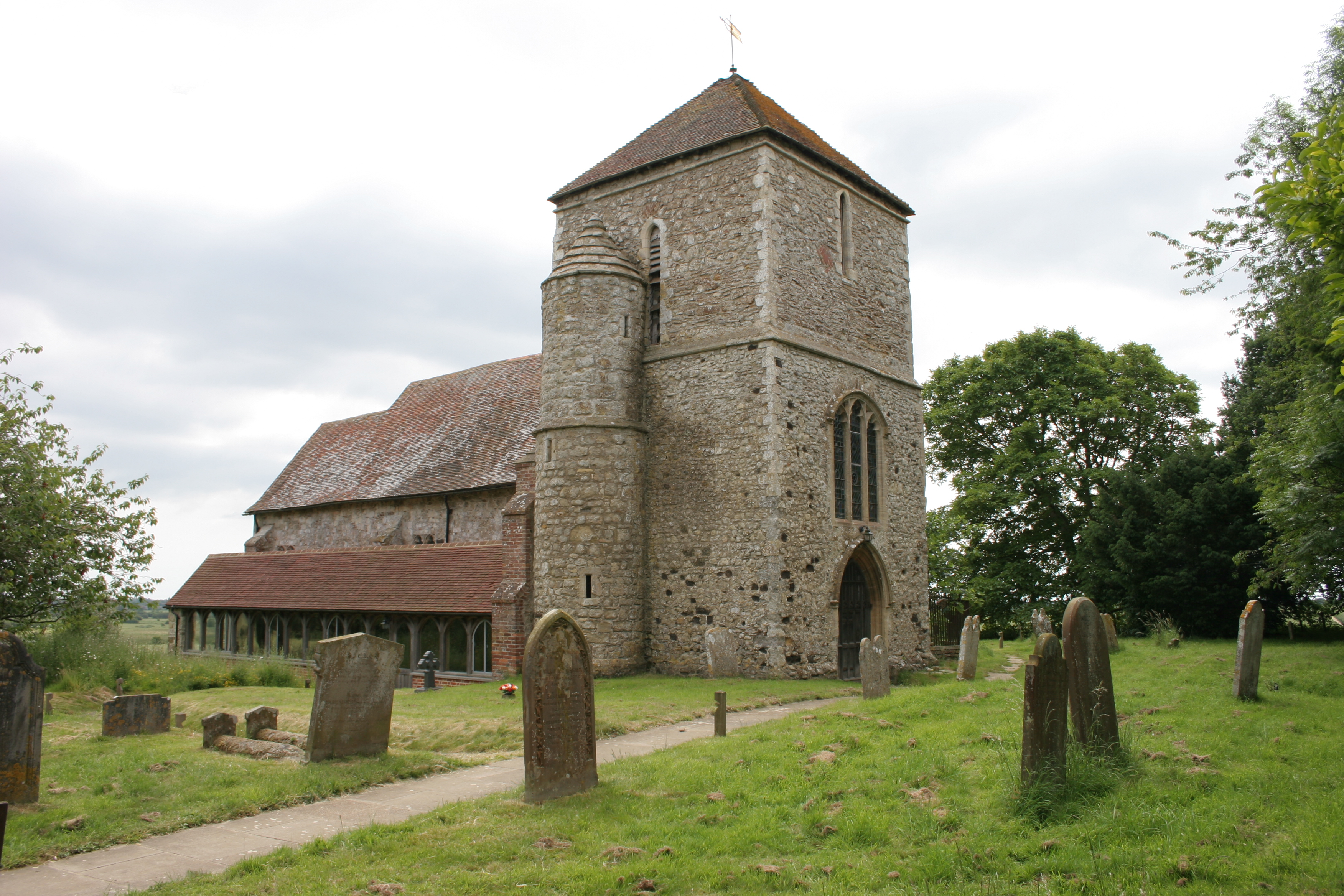
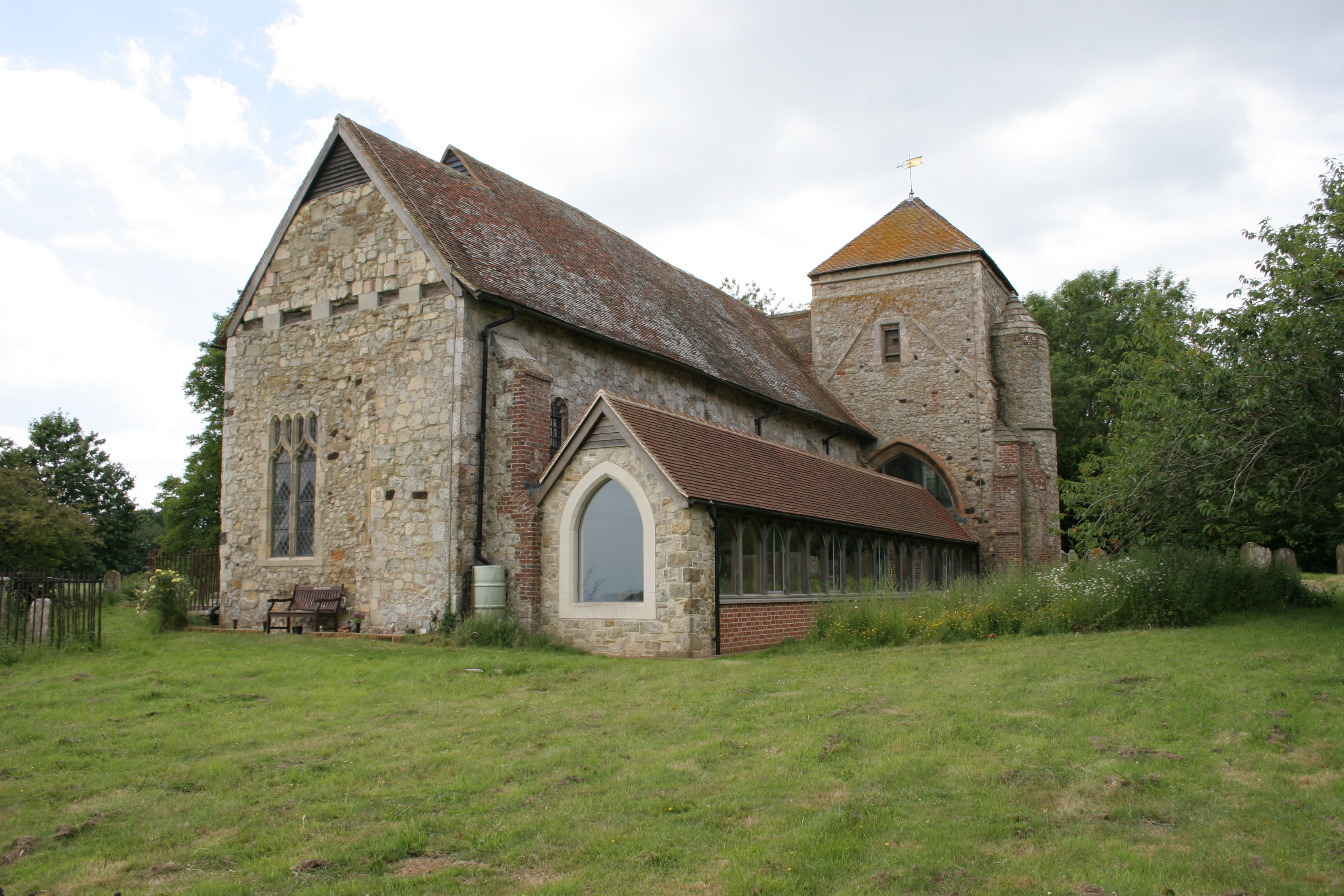
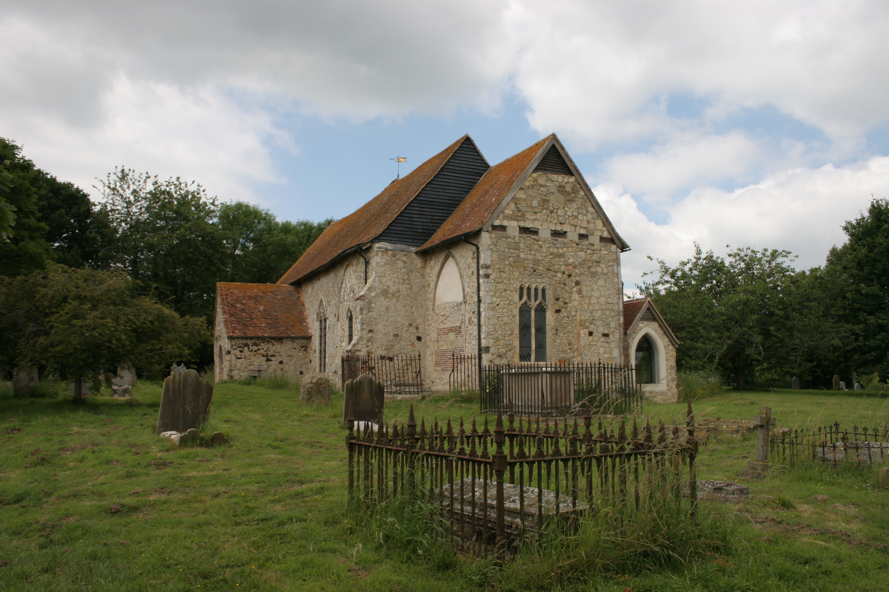
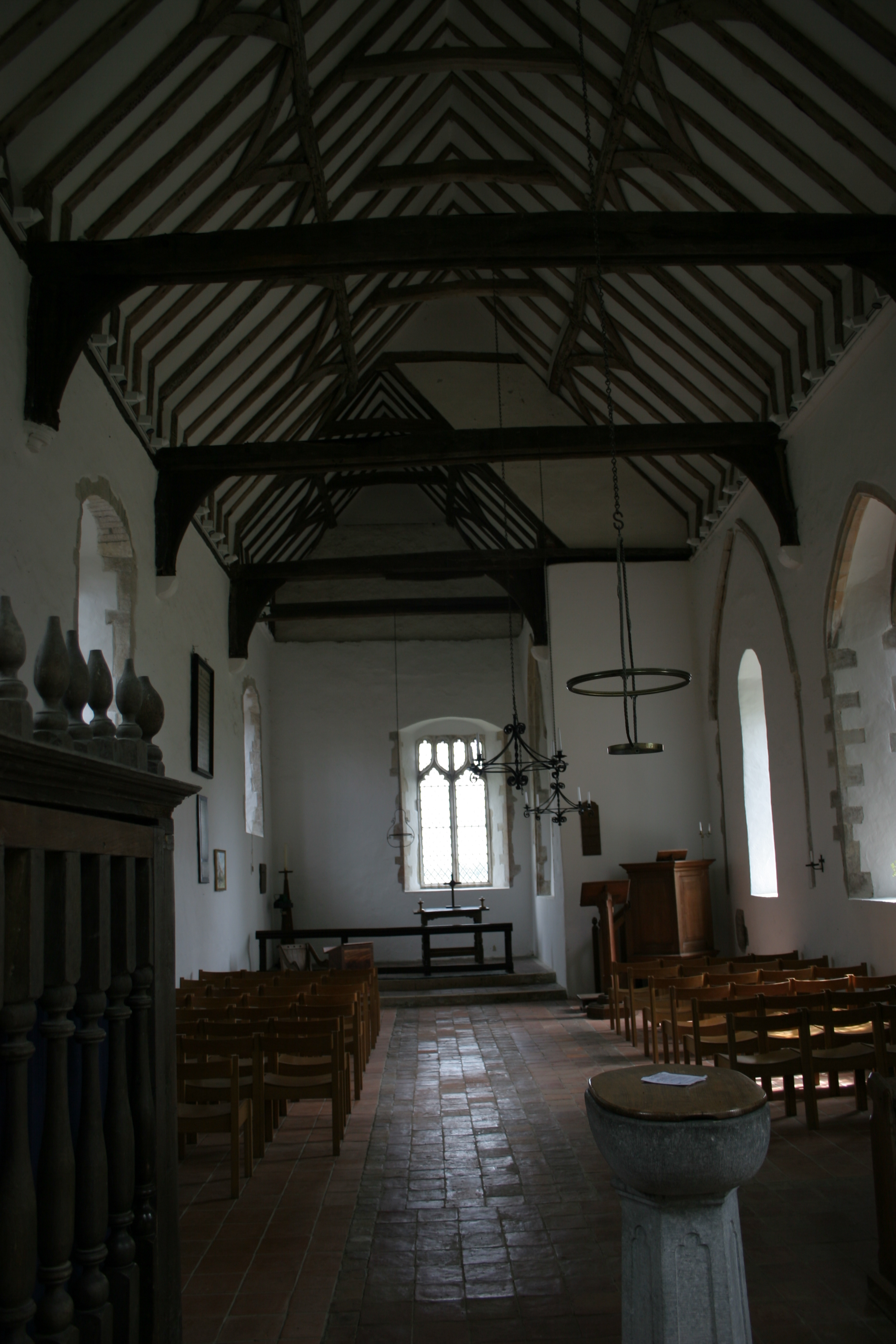
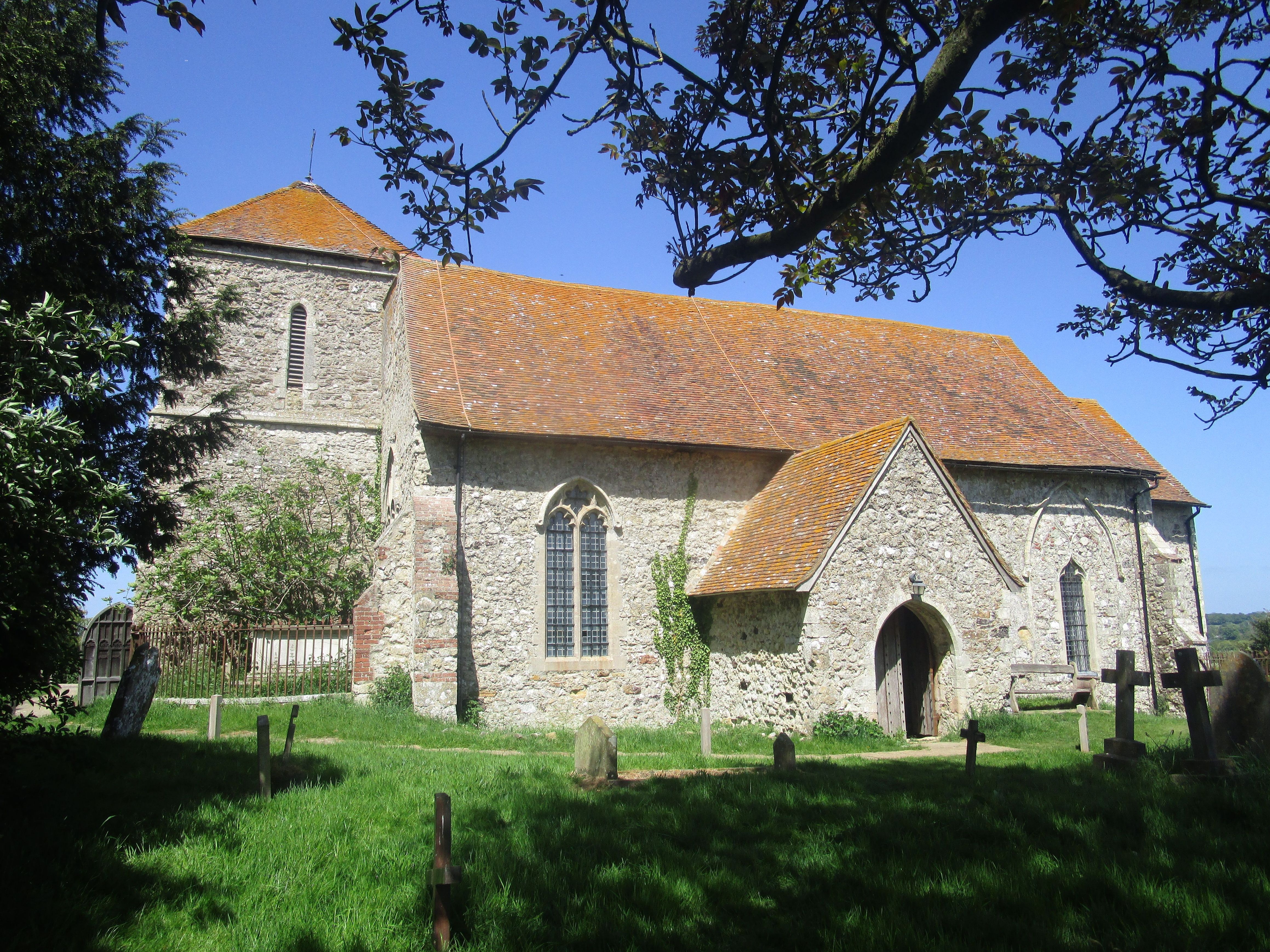
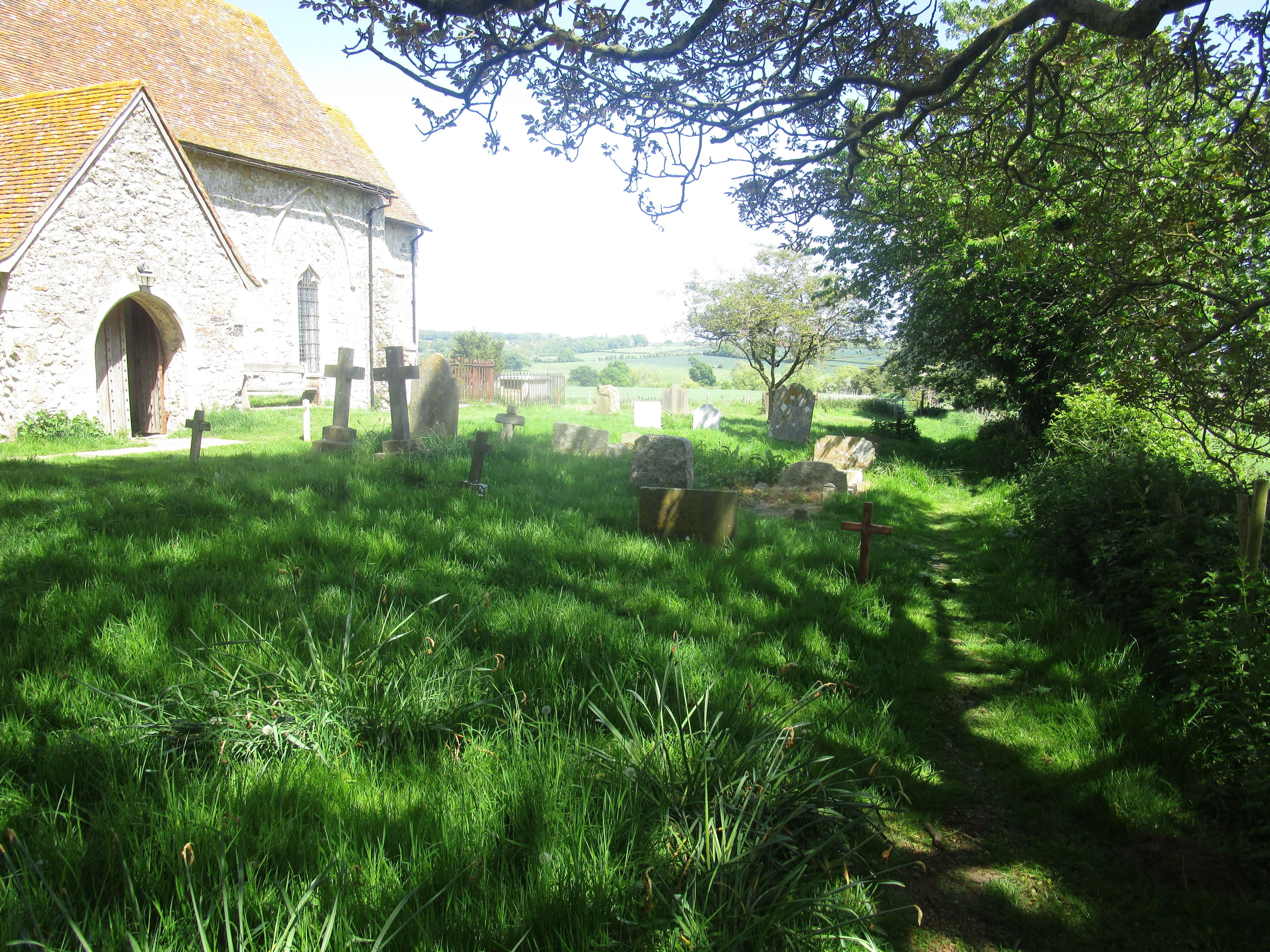
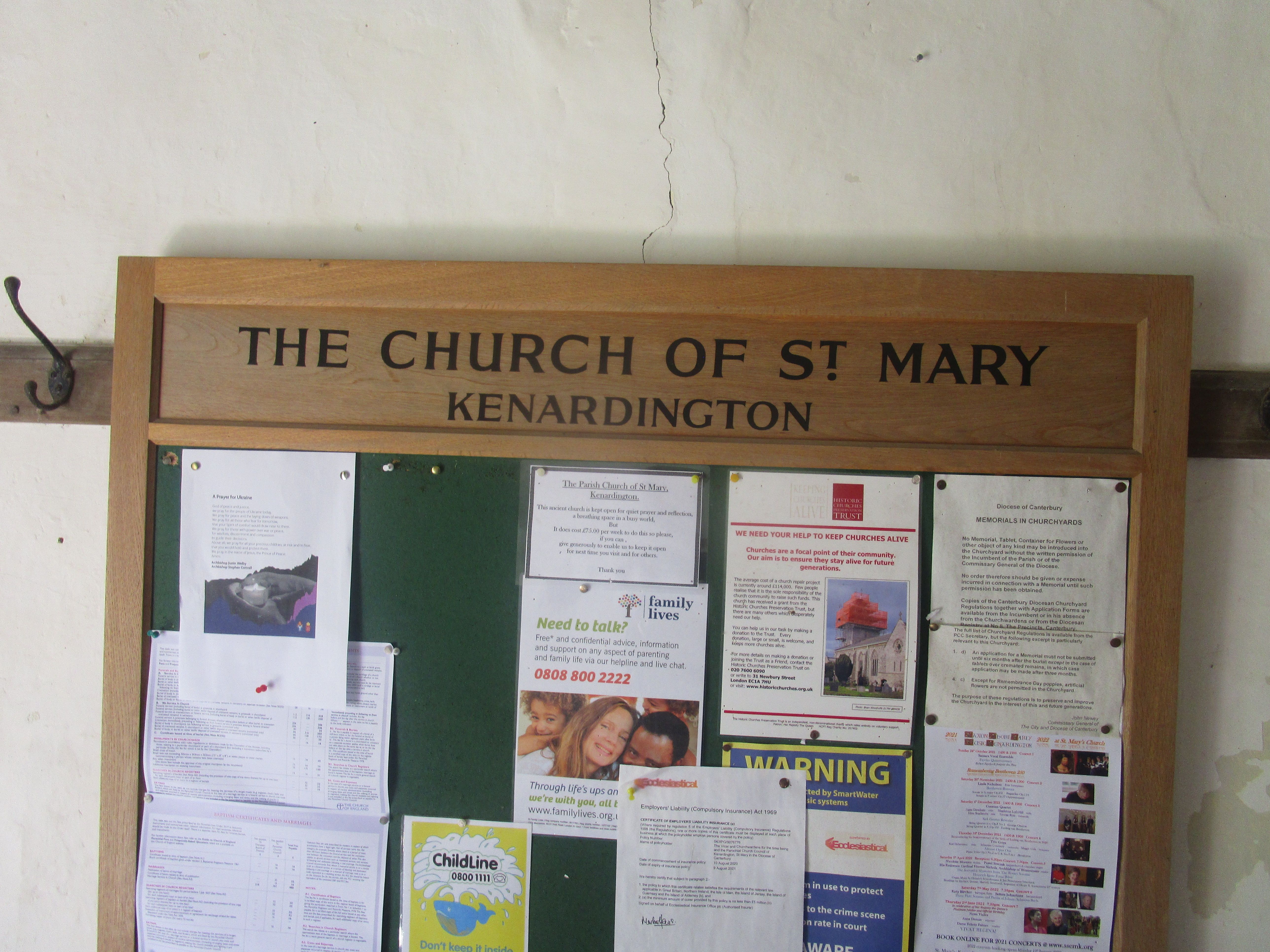
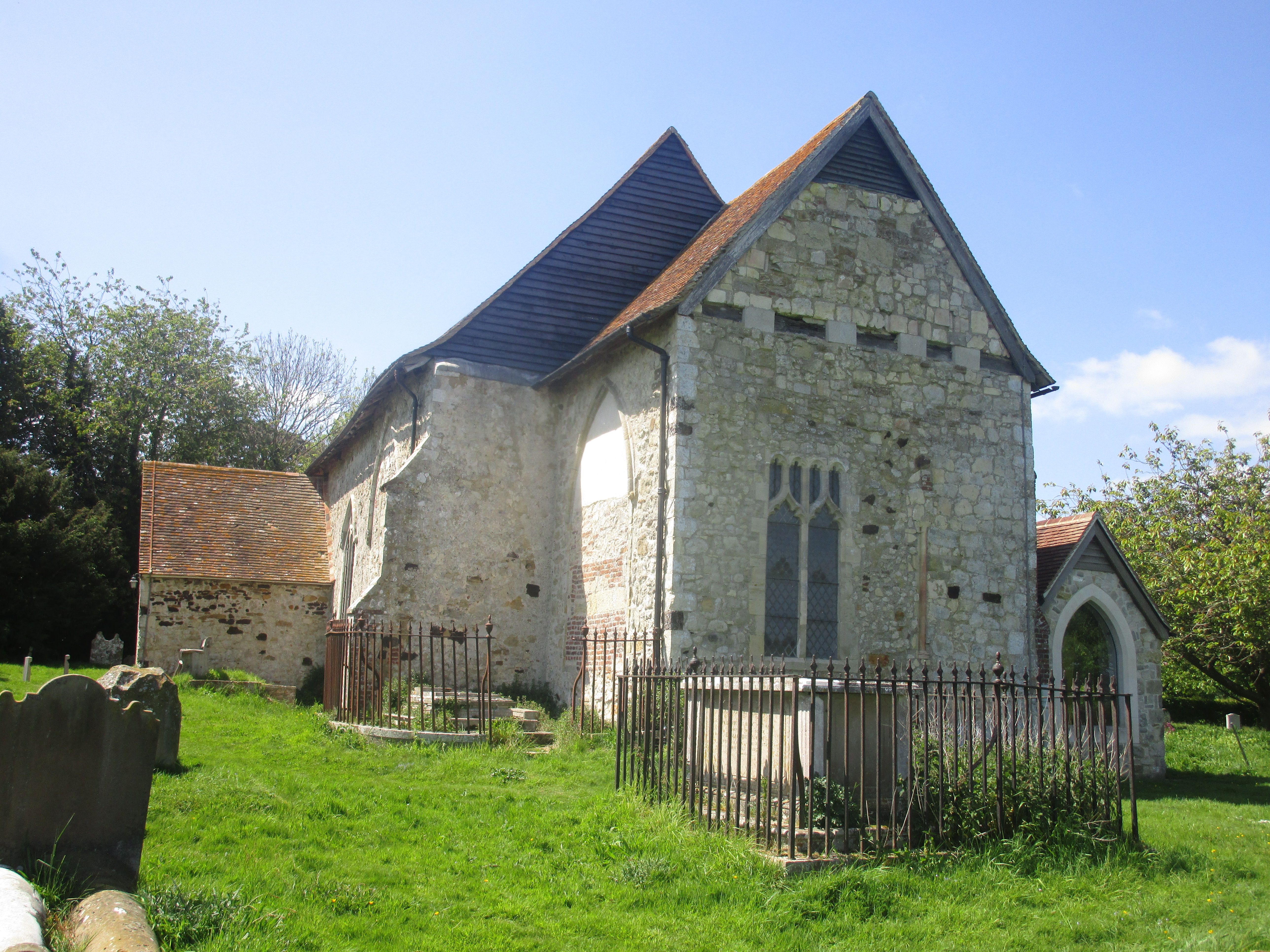
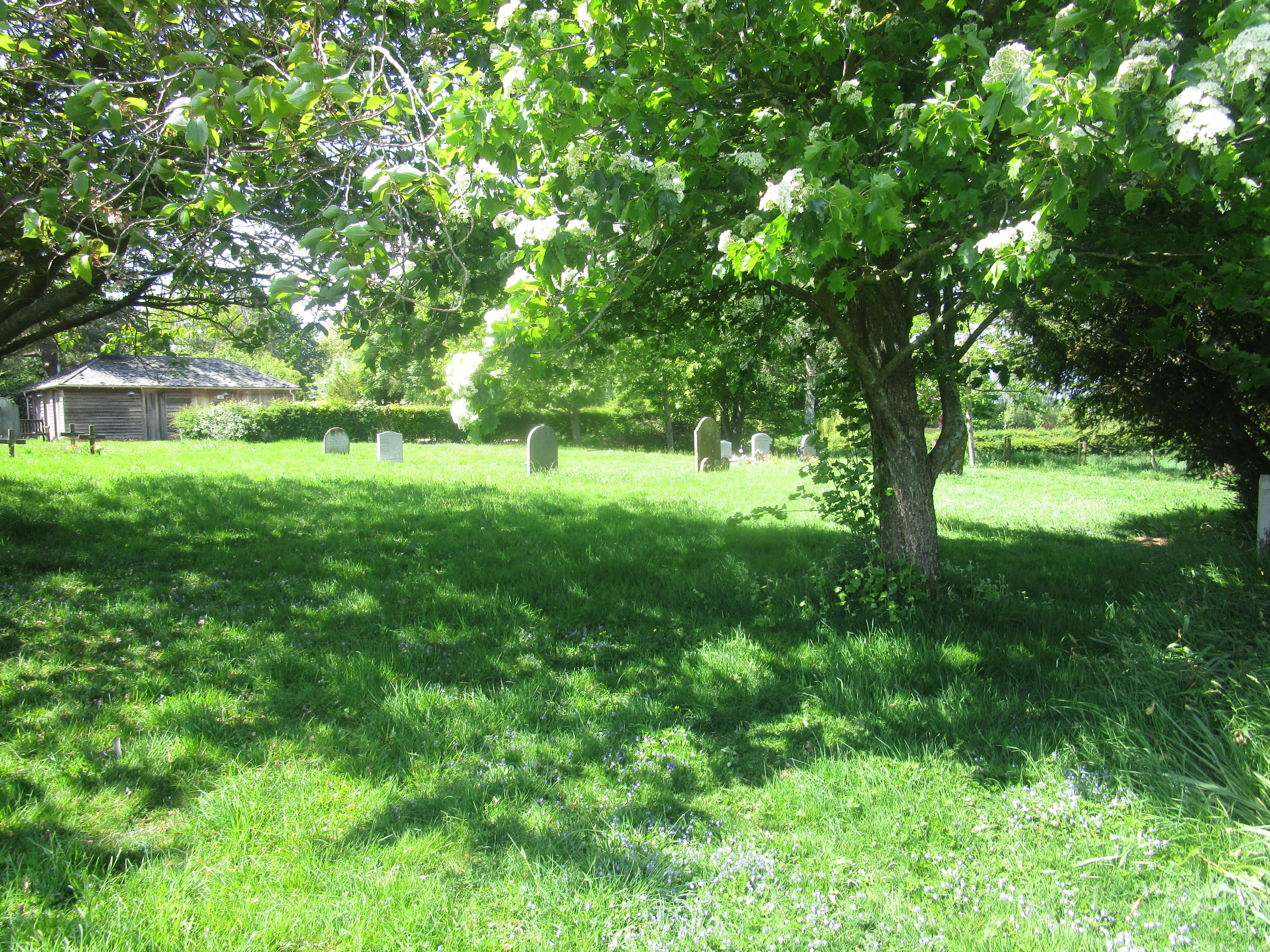
| Description | : | St Mary's Parish Church of Kenardington, dedicated to St Mary the Virgin, was first built by the Saxons in the 10th Century, attacked by the Danes in 1070, rebuilt in stone by the Normans in the 12th Century, sacked by the French during the Hundred Years War in the 14th Century and struck by lightning in 1559 heavily damaging the structure and collapsing the Nave, Chancel and North Aisle. Edward Hasted described this Church in 1798 as a "small mean building, consisting of one isle and one chancel, having a small pointed turret at the west end, in which hangs... Read More |
frequently asked questions (FAQ):
-
Where is St Mary's Churchyard?
St Mary's Churchyard is located at Kenardington, Ashford Borough ,Kent , TN26 2NFEngland.
-
St Mary's Churchyard cemetery's updated grave count on graveviews.com?
5 memorials
-
Where are the coordinates of the St Mary's Churchyard?
Latitude: 51.0546000
Longitude: 0.8164000
Nearby Cemetories:
1. St. Matthew Churchyard
Warehorne, Ashford Borough, England
Coordinate: 51.0575460, 0.8375700
2. St Peter and St Paul Churchyard
Appledore, Ashford Borough, England
Coordinate: 51.0295660, 0.7903990
3. St Mary the Virgin Churchyard
Orlestone, Ashford Borough, England
Coordinate: 51.0767000, 0.8539000
4. St. Dunstan Churchyard
Snargate, Shepway District, England
Coordinate: 51.0227100, 0.8371750
5. All Saints Churchyard
Woodchurch, Ashford Borough, England
Coordinate: 51.0807110, 0.7709980
6. St Augustine Church
Snave, Ashford Borough, England
Coordinate: 51.0334570, 0.8710390
7. St. Mary Magdalene Churchyard
Ruckinge, Ashford Borough, England
Coordinate: 51.0654060, 0.8883300
8. St Enswith's Church
Brenzett, Shepway District, England
Coordinate: 51.0138510, 0.8573170
9. Brenzett Cemetery
Brenzett, Shepway District, England
Coordinate: 51.0130800, 0.8561300
10. St. Mary the Virgin Churchyard
Reading Street, Ashford Borough, England
Coordinate: 51.0431442, 0.7400970
11. Ebony Old Cemetery
Stone-cum-Ebony, Ashford Borough, England
Coordinate: 51.0378926, 0.7422129
12. Ss Peter & Paul Churchyard
Shadoxhurst, Ashford Borough, England
Coordinate: 51.1044850, 0.8144740
13. St. Thomas à Becket Cemetery
Fairfield, Shepway District, England
Coordinate: 51.0043210, 0.7993930
14. St Mary the Virgin Churchyard
Stone-cum-Ebony, Ashford Borough, England
Coordinate: 51.0127980, 0.7645592
15. St Augustine Church
Brookland, Shepway District, England
Coordinate: 50.9973880, 0.8337460
16. St George's Church
Ivychurch, Shepway District, England
Coordinate: 51.0124590, 0.8895980
17. St. Peter and St. Paul's Churchyard
Bilsington, Ashford Borough, England
Coordinate: 51.0713940, 0.9136430
18. Church of St. Peter & St. Paul
Newchurch, Shepway District, England
Coordinate: 51.0438640, 0.9272210
19. St John the Baptist
Small Hythe, Ashford Borough, England
Coordinate: 51.0396260, 0.6996060
20. St. Rumwold Churchyard
Bonnington, Ashford Borough, England
Coordinate: 51.0722680, 0.9350370
21. St. Mary the Virgin Churchyard
High Halden, Ashford Borough, England
Coordinate: 51.1028950, 0.7148620
22. Unitarian Old Meeting House
Tenterden, Ashford Borough, England
Coordinate: 51.0717468, 0.6906880
23. St. Mildred's Churchyard
Tenterden, Ashford Borough, England
Coordinate: 51.0686264, 0.6870960
24. St Clement Churchyard
Old Romney, Shepway District, England
Coordinate: 50.9901390, 0.8981780