
| Memorials | : | 0 |
| Location | : | Hardwicke, Stroud District, England |
| Coordinate | : | 51.8101200, -2.3007300 |
frequently asked questions (FAQ):
-
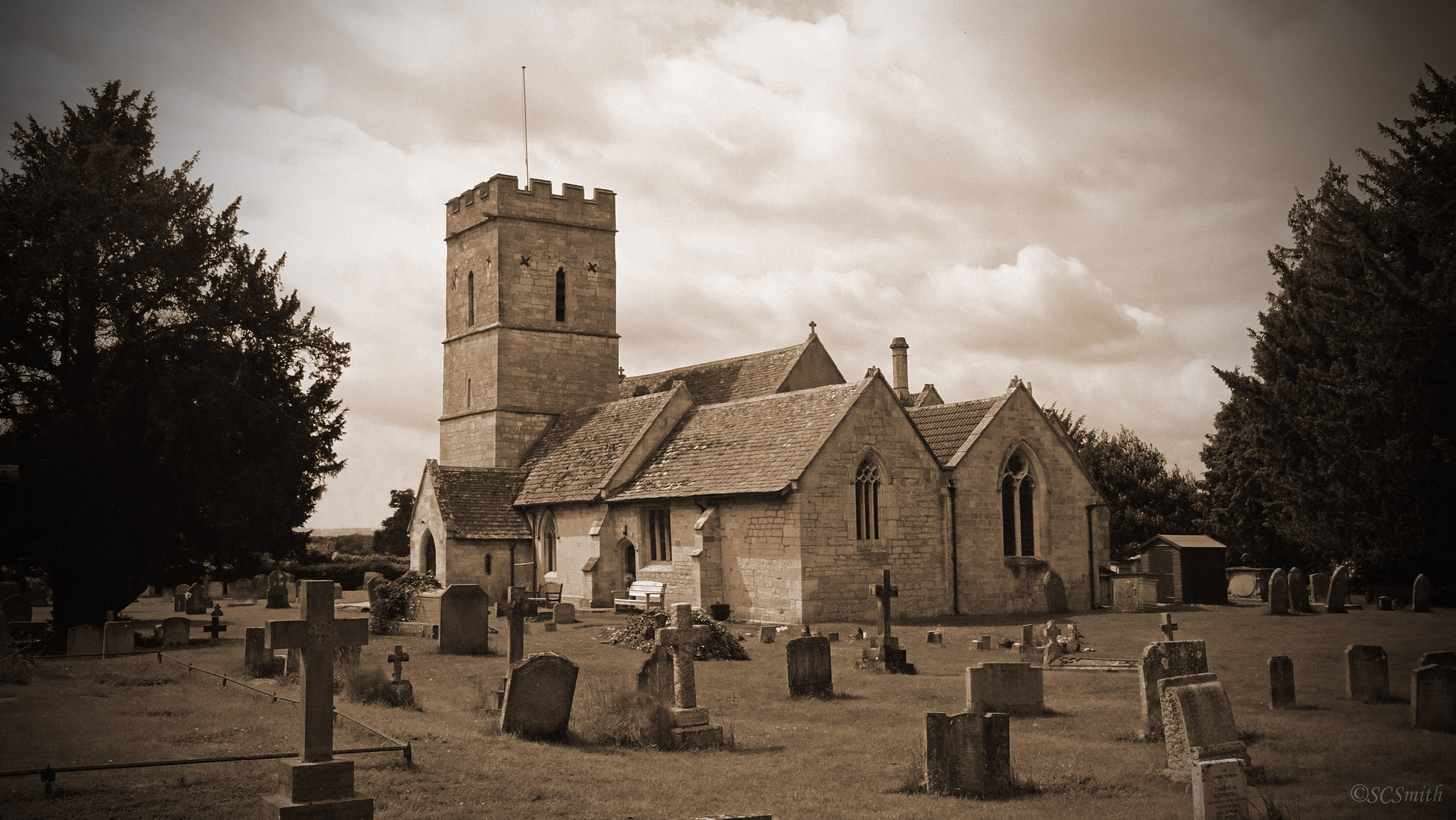
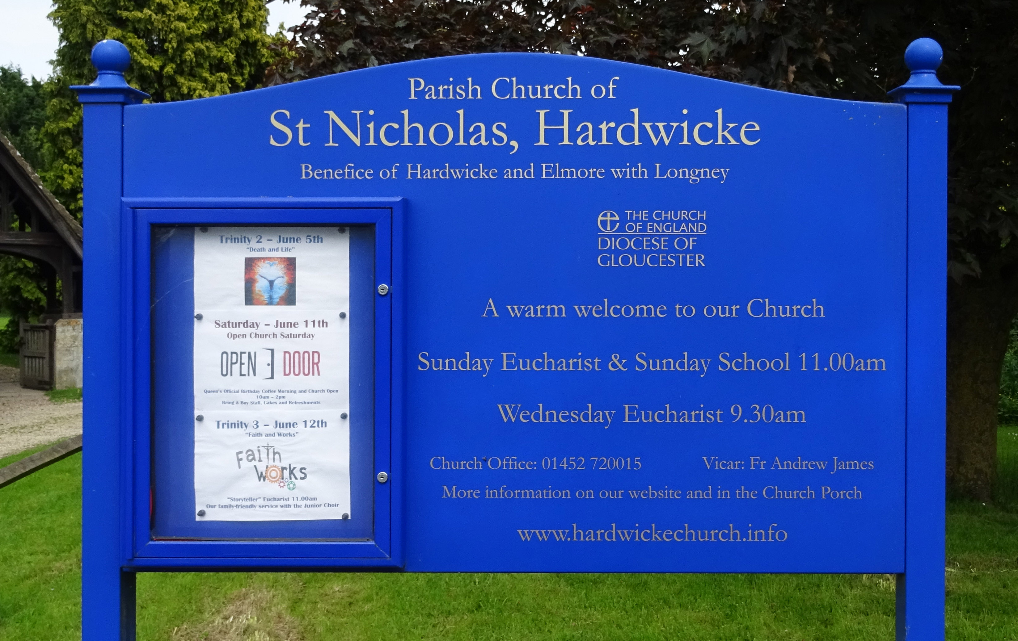
Where is St Nicholas Churchyard?
St Nicholas Churchyard is located at Hardwicke, Stroud District ,Gloucestershire ,England.
-
St Nicholas Churchyard cemetery's updated grave count on graveviews.com?
0 memorials
-
Where are the coordinates of the St Nicholas Churchyard?
Latitude: 51.8101200
Longitude: -2.3007300
Nearby Cemetories:
1. St. James' Churchyard
Quedgeley, City of Gloucester, England
Coordinate: 51.8257770, -2.2811150
2. St. Peter's Churchyard
Haresfield, Stroud District, England
Coordinate: 51.7921323, -2.2767870
3. St. Laurence Churchyard
Longney, Stroud District, England
Coordinate: 51.8100627, -2.3441589
4. St. Stephen's Churchyard
Moreton Valence, Stroud District, England
Coordinate: 51.7857492, -2.3208765
5. St Margaret Church
Whaddon, Stroud District, England
Coordinate: 51.8214600, -2.2433000
6. St. Swithun Churchyard
Brookthorpe, Stroud District, England
Coordinate: 51.8087500, -2.2402900
7. St Andrews Churchyard
Whitminster, Stroud District, England
Coordinate: 51.7798400, -2.3487000
8. St James the Great Churchyard
Saul, Stroud District, England
Coordinate: 51.7830000, -2.3548500
9. St John the Baptist Churchyard
Harescombe, Stroud District, England
Coordinate: 51.7921570, -2.2373260
10. St. Peter's Churchyard
Minsterworth, Tewkesbury Borough, England
Coordinate: 51.8511500, -2.3307800
11. St. Swithun's Churchyard
Hempsted, City of Gloucester, England
Coordinate: 51.8515740, -2.2719420
12. St. Peter's Church
Stroud District, England
Coordinate: 51.7927144, -2.3752327
13. St. Andrew's Churchyard
Churcham, Forest of Dean District, England
Coordinate: 51.8618970, -2.3375000
14. Llanthony Secunda Priory
Hempsted, City of Gloucester, England
Coordinate: 51.8602130, -2.2572640
15. Gloucester Old Cemetery
Gloucester, City of Gloucester, England
Coordinate: 51.8482100, -2.2276700
16. St. John the Baptist Churchyard
Randwick, Stroud District, England
Coordinate: 51.7587400, -2.2514000
17. St. Michael and All Angels Churchyard
Eastington, Stroud District, England
Coordinate: 51.7501680, -2.3161330
18. St Mary the Virgin Churchyard
Fretherne, Stroud District, England
Coordinate: 51.7804140, -2.3873960
19. Holy Innocents Churchyard
Highnam, Tewkesbury Borough, England
Coordinate: 51.8740890, -2.2970050
20. St John the Baptist Churchyard
Pitchcombe, Stroud District, England
Coordinate: 51.7727590, -2.2166790
21. St Nicholas' Church
Gloucester, City of Gloucester, England
Coordinate: 51.8672800, -2.2496760
22. Gloucester Crematorium
Gloucester, City of Gloucester, England
Coordinate: 51.8538180, -2.2219260
23. St Paul Churchyard
Whiteshill, Stroud District, England
Coordinate: 51.7597750, -2.2321540
24. Gloucester Cathedral
Gloucester, City of Gloucester, England
Coordinate: 51.8675920, -2.2467670