
| Memorials | : | 0 |
| Location | : | Bowes, Durham Unitary Authority, England |
| Coordinate | : | 54.5164600, -2.0124100 |
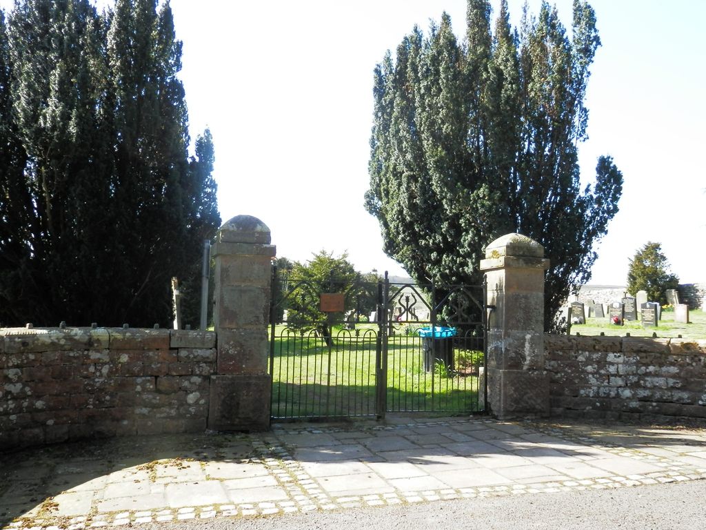
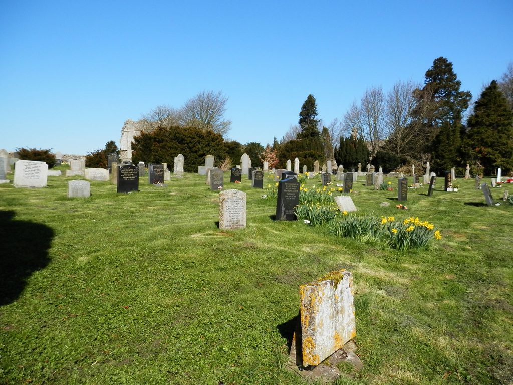
| Description | : | The cemetery, belonging to the Bowes and Gilmonby Joint Burial Committee, is near Saint Giles' Church (across the lane from the churchyard) and Bowes Castle ruins. The cemetery opened in 1875, originally as an extension to the churchyard; and burials date from then to the present, although some burials continued in St Giles’ churchyard until 1904. As late as the early 1900s the cemetery was known as “The New Burial Ground”. |
frequently asked questions (FAQ):
-
Where is Bowes and Gilmonby Cemetery?
Bowes and Gilmonby Cemetery is located at Back Lane Bowes, Durham Unitary Authority ,County Durham ,England.
-
Bowes and Gilmonby Cemetery cemetery's updated grave count on graveviews.com?
0 memorials
-
Where are the coordinates of the Bowes and Gilmonby Cemetery?
Latitude: 54.5164600
Longitude: -2.0124100

Nearby Cemetories:
1. St Giles Churchyard
Bowes, Durham Unitary Authority, England
Coordinate: 54.5169000, -2.0124000
2. Cotherstone Cemetery
Cotherstone, Durham Unitary Authority, England
Coordinate: 54.5680830, -1.9804850
3. St. Mary's Churchyard
Barnard Castle, Durham Unitary Authority, England
Coordinate: 54.5416950, -1.9230780
4. Cotherstone Friends Burial Ground
Cotherstone, Durham Unitary Authority, England
Coordinate: 54.5722230, -1.9824740
5. St Mary's Roman Catholic Church
Barnard Castle, Durham Unitary Authority, England
Coordinate: 54.5414010, -1.9183080
6. Roman Catholic Cemetery
Barnard Castle, Durham Unitary Authority, England
Coordinate: 54.5442300, -1.9184500
7. Barnard Castle Dissenters Cemetery
Barnard Castle, Durham Unitary Authority, England
Coordinate: 54.5451000, -1.9182900
8. Victoria Road Cemetery
Barnard Castle, Durham Unitary Authority, England
Coordinate: 54.5456000, -1.9183000
9. Eggleston Abbey
Barnard Castle, Durham Unitary Authority, England
Coordinate: 54.5311600, -1.9049600
10. Saint Mary's Churchyard
Rokeby, Durham Unitary Authority, England
Coordinate: 54.5193100, -1.8894300
11. St Mary's Churchyard
Brignall, Durham Unitary Authority, England
Coordinate: 54.5061090, -1.8896890
12. Brignall Old Churchyard
Brignall, Durham Unitary Authority, England
Coordinate: 54.5051000, -1.8826400
13. St. Romald Churchyard
Romaldkirk, Durham Unitary Authority, England
Coordinate: 54.5941550, -2.0089636
14. Rey Cross
Eden District, England
Coordinate: 54.5057950, -2.1486260
15. Romaldkirk Cemetery
Romaldkirk, Durham Unitary Authority, England
Coordinate: 54.5977800, -2.0083200
16. St Michael and All Angels Churchyard
Barningham, Durham Unitary Authority, England
Coordinate: 54.4895190, -1.8691942
17. Chapel of Ease
Eggleston, Durham Unitary Authority, England
Coordinate: 54.6058000, -2.0050000
18. Holy Trinity Churchyard
Eggleston, Durham Unitary Authority, England
Coordinate: 54.6082390, -2.0037610
19. Church of Saint Mary the Virgin Graveyard
Arkengarthdale, Richmondshire District, England
Coordinate: 54.4225063, -2.0013365
20. St. Mary the Virgin Churchyard
Langthwaite, Richmondshire District, England
Coordinate: 54.4195260, -1.9967580
21. Langthwaite Wesleyan Methodist Chapelyard
Langthwaite, Richmondshire District, England
Coordinate: 54.4181000, -1.9958500
22. Lune Chapel Churchyard
Laithkirk, Durham Unitary Authority, England
Coordinate: 54.6115800, -2.0717400
23. Middleton On Teesdale Churchyard
Middleton-in-Teesdale, Durham Unitary Authority, England
Coordinate: 54.6257980, -2.0825420
24. Saint Mary’s Churchyard
Hutton Magna, Durham Unitary Authority, England
Coordinate: 54.5074500, -1.8060900