
| Memorials | : | 0 |
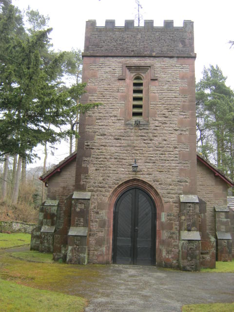
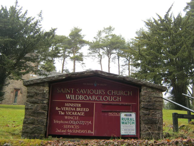
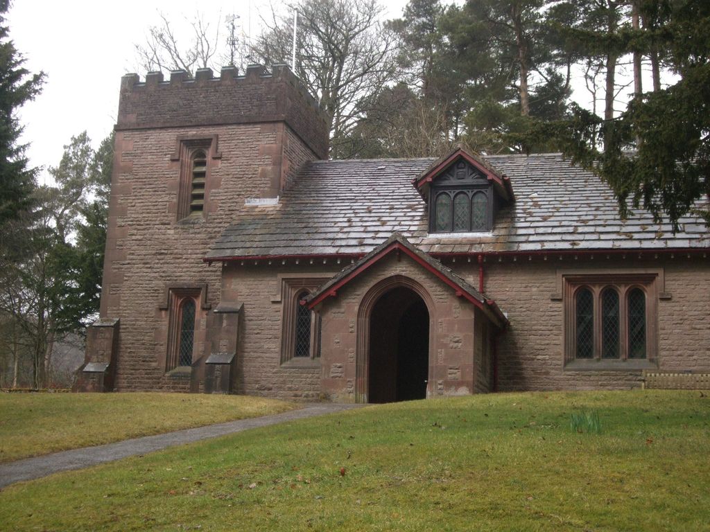
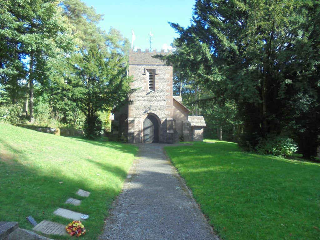
| Location | : | Wildboarclough, Cheshire East Unitary Authority, England |
| Coordinate | : | 53.2161170, -2.0254580 |
frequently asked questions (FAQ):
-
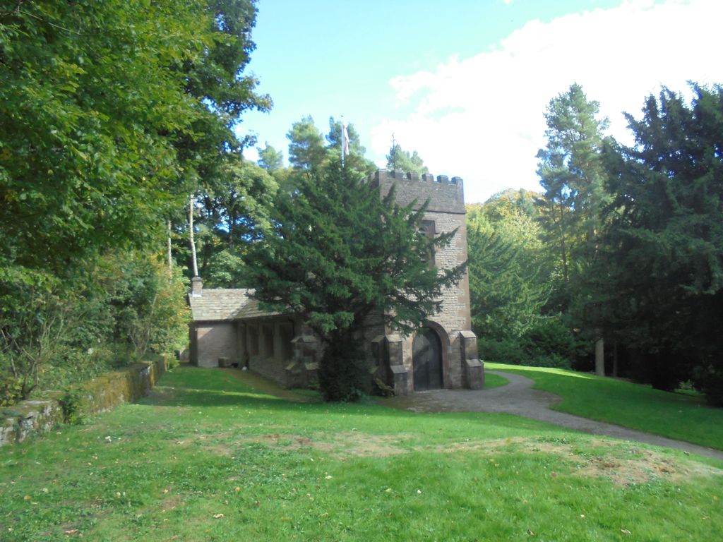
Where is St. Saviour Churchyard?
St. Saviour Churchyard is located at Wildboarclough, Cheshire East Unitary Authority ,Cheshire ,England.
-
St. Saviour Churchyard cemetery's updated grave count on graveviews.com?
0 memorials
-
Where are the coordinates of the St. Saviour Churchyard?
Latitude: 53.2161170
Longitude: -2.0254580


Nearby Cemetories:
1. St . Stephen's Church Forest Chapel
Macclesfield Forest, Cheshire East Unitary Authority, England
Coordinate: 53.2462260, -2.0399720
2. St. Michael's Churchyard
Wincle, Cheshire East Unitary Authority, England
Coordinate: 53.1933190, -2.0620740
3. St. Paul's Churchyard
Quarnford, Staffordshire Moorlands District, England
Coordinate: 53.2018260, -1.9628630
4. St James Churchyard
Sutton (Macclesfield), Cheshire East Unitary Authority, England
Coordinate: 53.2378520, -2.1063910
5. Brunswick Wesleyan Methodist Chapel Chapelyard
Sutton (Macclesfield), Cheshire East Unitary Authority, England
Coordinate: 53.2359570, -2.1213260
6. Christ Church Churchyard
Burbage, High Peak Borough, England
Coordinate: 53.2528840, -1.9357390
7. St. Mary the Virgin Churchyard
Bosley, Cheshire East Unitary Authority, England
Coordinate: 53.1871110, -2.1241630
8. St Paul Churchyard
Macclesfield, Cheshire East Unitary Authority, England
Coordinate: 53.2574100, -2.1192400
9. St. Michael's & All Angels Churchyard
Macclesfield, Cheshire East Unitary Authority, England
Coordinate: 53.2572950, -2.1195970
10. St. John the Evangelist Churchyard
Cheshire East Unitary Authority, England
Coordinate: 53.2862960, -2.0256440
11. Holy Trinity Churchyard
Hurdsfield, Cheshire East Unitary Authority, England
Coordinate: 53.2647300, -2.1124600
12. St. Matthew's Churchyard
Meerbrook, Staffordshire Moorlands District, England
Coordinate: 53.1446350, -2.0177810
13. Wesleyan Chapel Chapelyard
Rainow, Cheshire East Unitary Authority, England
Coordinate: 53.2835470, -2.0709590
14. St James Churchyard
Harpur Hill, High Peak Borough, England
Coordinate: 53.2374840, -1.9069170
15. Harpur Hill Methodist Churchyard
Buxton, High Peak Borough, England
Coordinate: 53.2369210, -1.9053100
16. St Lawrence Churchyard
Rushton Spencer, Staffordshire Moorlands District, England
Coordinate: 53.1556630, -2.0996440
17. Church of St. Anne
Buxton, High Peak Borough, England
Coordinate: 53.2538256, -1.9157350
18. St John the Baptist Churchyard
Buxton, High Peak Borough, England
Coordinate: 53.2589380, -1.9172770
19. St. Alban's Churchyard
Macclesfield, Cheshire East Unitary Authority, England
Coordinate: 53.2599190, -2.1339940
20. Buxton Cemetery
Buxton, High Peak Borough, England
Coordinate: 53.2446830, -1.9013910
21. Macclesfield Cemetery
Macclesfield, Cheshire East Unitary Authority, England
Coordinate: 53.2652260, -2.1376130
22. Macclesfield Crematorium
Macclesfield, Cheshire East Unitary Authority, England
Coordinate: 53.2656340, -2.1373290
23. Maggoty Wood
Gawsworth, Cheshire East Unitary Authority, England
Coordinate: 53.2234560, -2.1652510
24. St James Churchyard
Gawsworth, Cheshire East Unitary Authority, England
Coordinate: 53.2241390, -2.1661520