
| Memorials | : | 0 |
| Location | : | Wincle, Cheshire East Unitary Authority, England |
| Coordinate | : | 53.1933190, -2.0620740 |
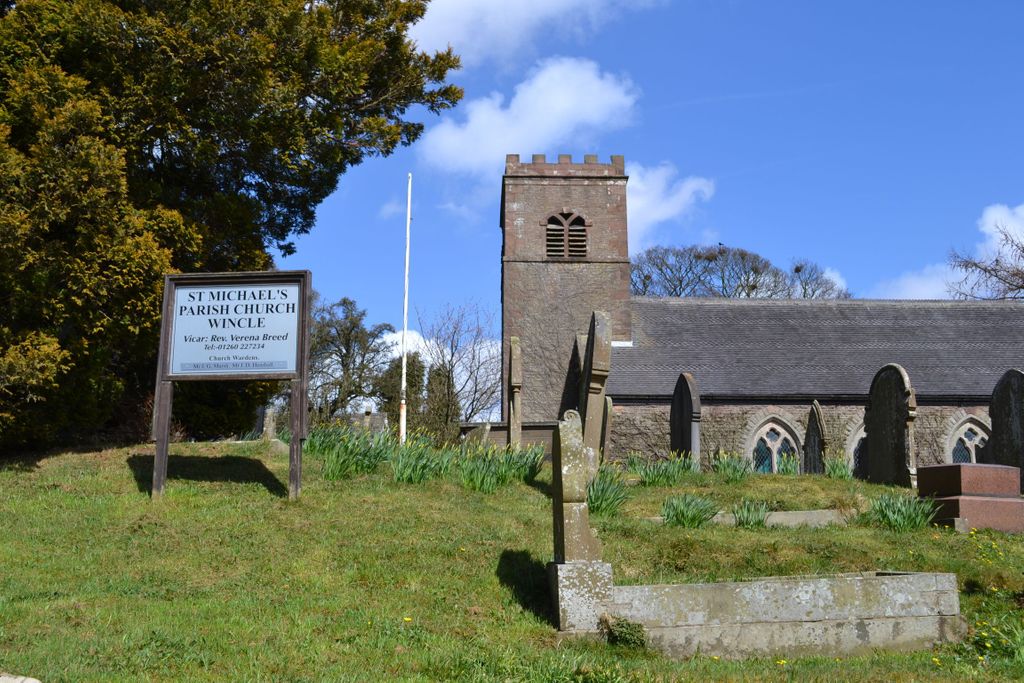
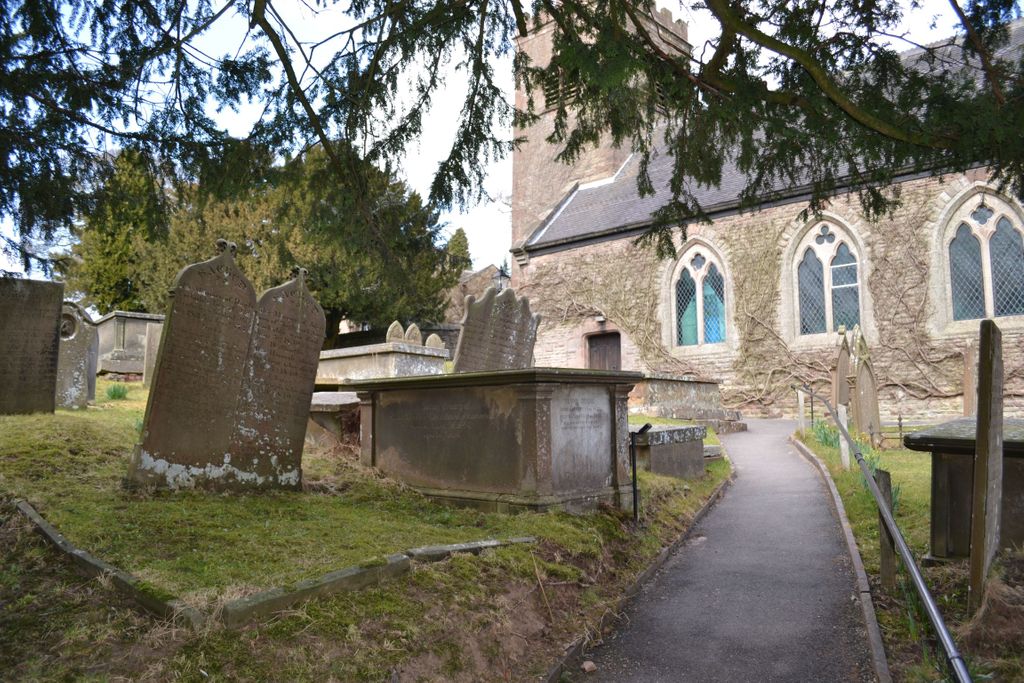
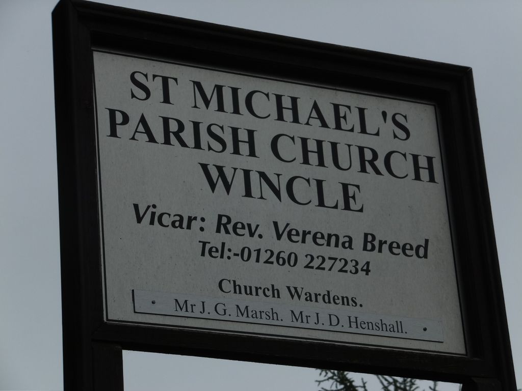
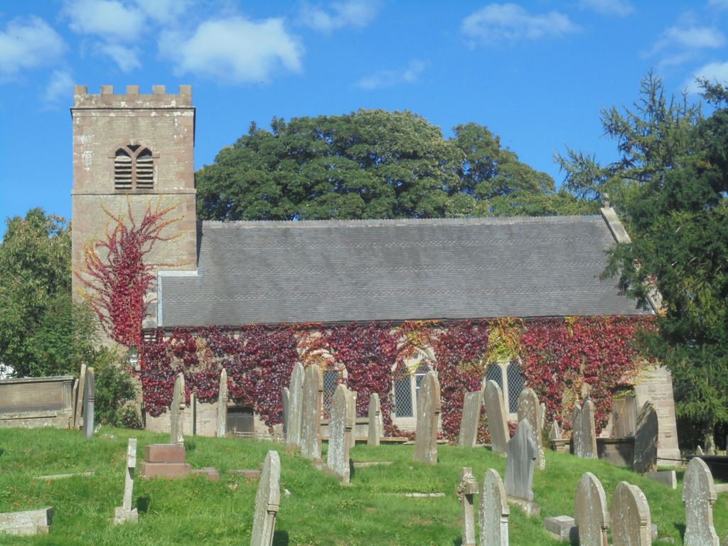
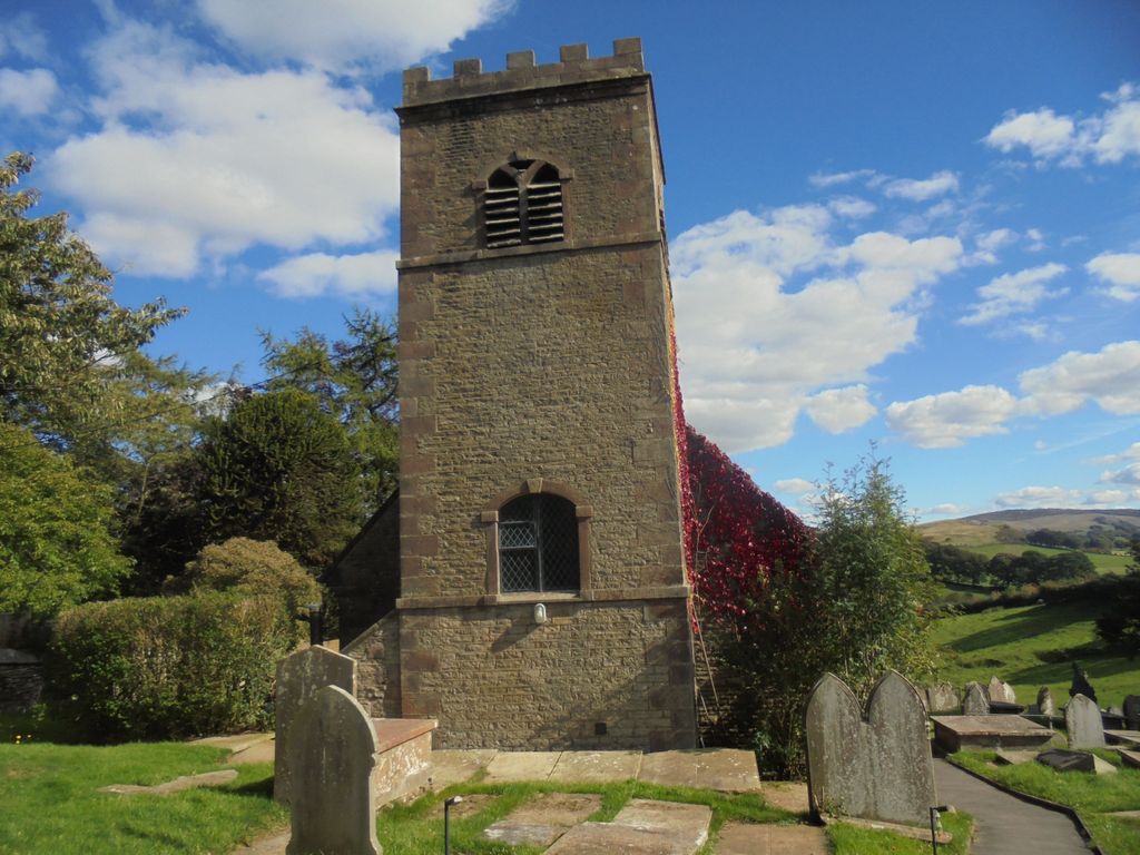
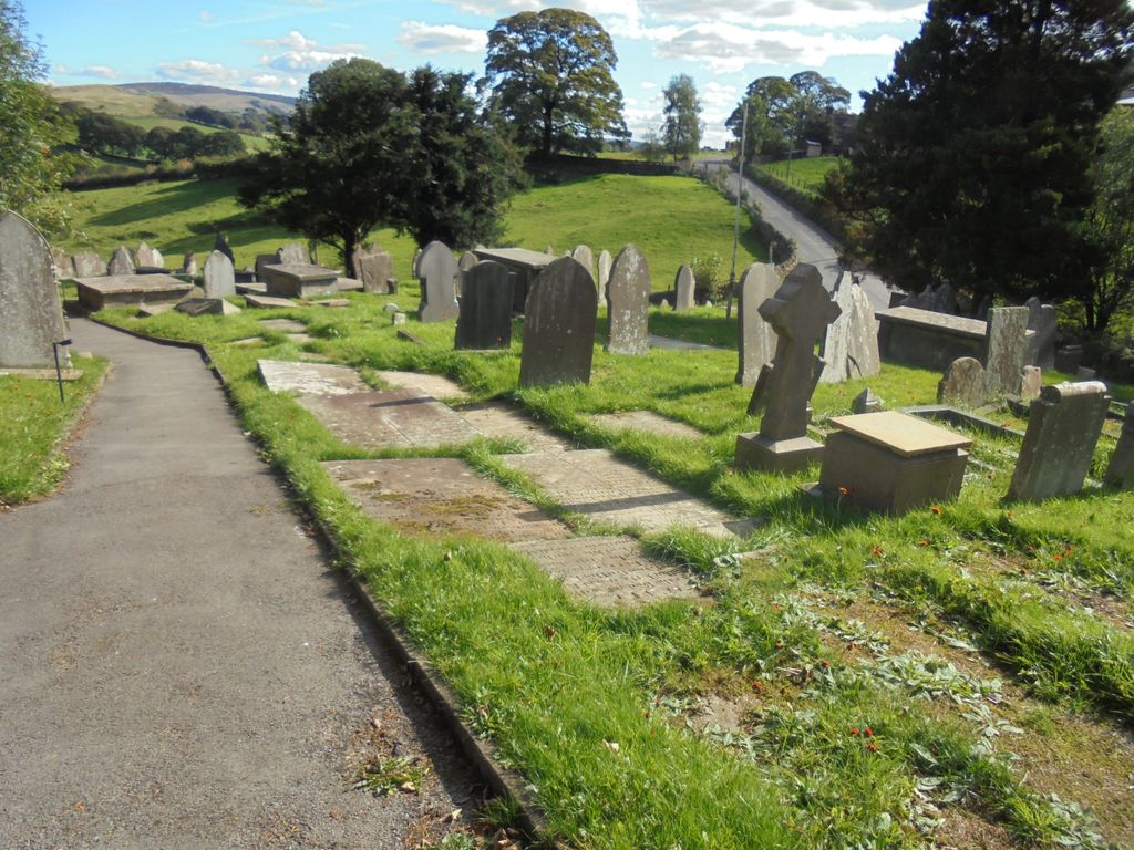
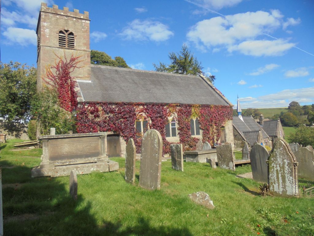
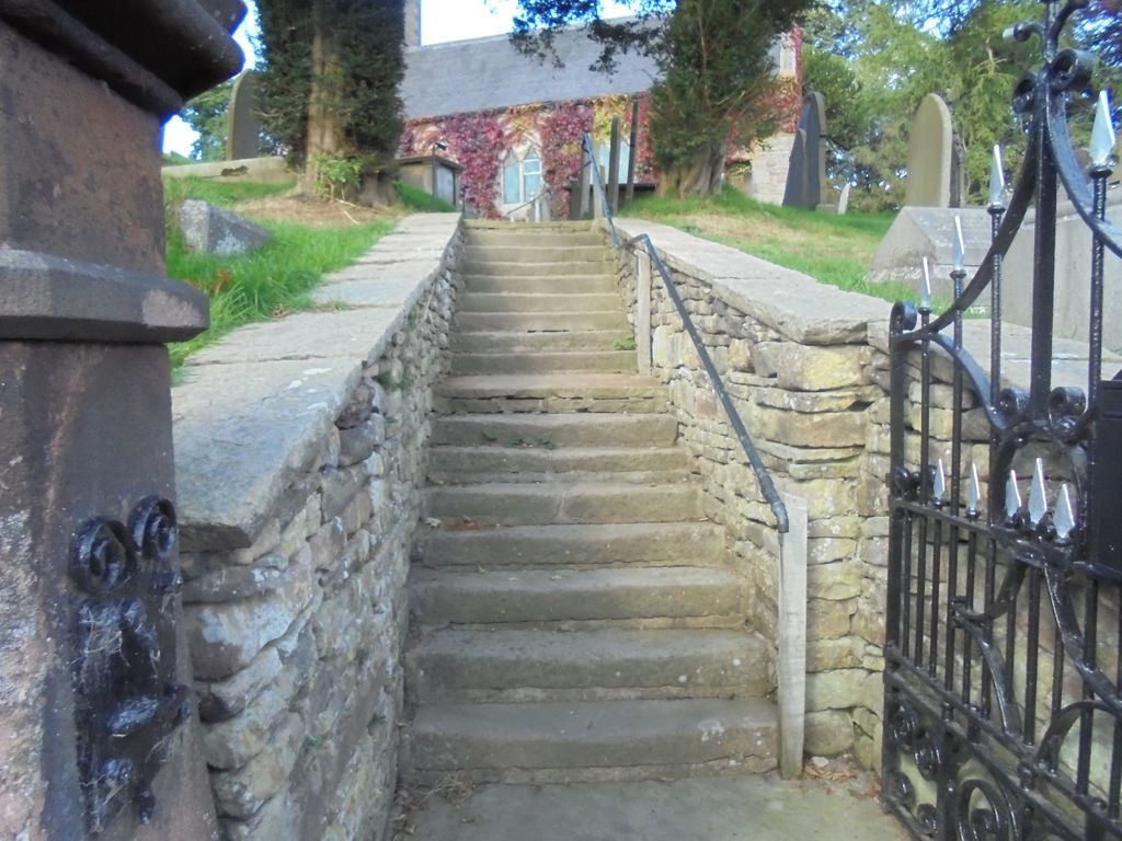
| Description | : | Churchyard Cemetery in the small town of Wincle in the Church of England's Diocese of Chester. |
frequently asked questions (FAQ):
-
Where is St. Michael's Churchyard?
St. Michael's Churchyard is located at Wincle, Cheshire East Unitary Authority ,Cheshire ,England.
-
St. Michael's Churchyard cemetery's updated grave count on graveviews.com?
0 memorials
-
Where are the coordinates of the St. Michael's Churchyard?
Latitude: 53.1933190
Longitude: -2.0620740
Nearby Cemetories:
1. St. Saviour Churchyard
Wildboarclough, Cheshire East Unitary Authority, England
Coordinate: 53.2161170, -2.0254580
2. St. Mary the Virgin Churchyard
Bosley, Cheshire East Unitary Authority, England
Coordinate: 53.1871110, -2.1241630
3. St Lawrence Churchyard
Rushton Spencer, Staffordshire Moorlands District, England
Coordinate: 53.1556630, -2.0996440
4. St James Churchyard
Sutton (Macclesfield), Cheshire East Unitary Authority, England
Coordinate: 53.2378520, -2.1063910
5. St . Stephen's Church Forest Chapel
Macclesfield Forest, Cheshire East Unitary Authority, England
Coordinate: 53.2462260, -2.0399720
6. St. Matthew's Churchyard
Meerbrook, Staffordshire Moorlands District, England
Coordinate: 53.1446350, -2.0177810
7. Brunswick Wesleyan Methodist Chapel Chapelyard
Sutton (Macclesfield), Cheshire East Unitary Authority, England
Coordinate: 53.2359570, -2.1213260
8. St. Paul's Churchyard
Quarnford, Staffordshire Moorlands District, England
Coordinate: 53.2018260, -1.9628630
9. Maggoty Wood
Gawsworth, Cheshire East Unitary Authority, England
Coordinate: 53.2234560, -2.1652510
10. St James Churchyard
Gawsworth, Cheshire East Unitary Authority, England
Coordinate: 53.2241390, -2.1661520
11. St. Michael's & All Angels Churchyard
Macclesfield, Cheshire East Unitary Authority, England
Coordinate: 53.2572950, -2.1195970
12. St Paul Churchyard
Macclesfield, Cheshire East Unitary Authority, England
Coordinate: 53.2574100, -2.1192400
13. Holy Trinity Churchyard
Hurdsfield, Cheshire East Unitary Authority, England
Coordinate: 53.2647300, -2.1124600
14. St. Alban's Churchyard
Macclesfield, Cheshire East Unitary Authority, England
Coordinate: 53.2599190, -2.1339940
15. St. Michael's Churchyard Extension
Horton, Staffordshire Moorlands District, England
Coordinate: 53.1139430, -2.0878020
16. St. Michael and All Angels Churchyard
Horton, Staffordshire Moorlands District, England
Coordinate: 53.1135330, -2.0879040
17. St John the Evangelist Churchyard
Buglawton, Cheshire East Unitary Authority, England
Coordinate: 53.1701320, -2.1959370
18. Macclesfield Cemetery
Macclesfield, Cheshire East Unitary Authority, England
Coordinate: 53.2652260, -2.1376130
19. Macclesfield Crematorium
Macclesfield, Cheshire East Unitary Authority, England
Coordinate: 53.2656340, -2.1373290
20. Christ Church Churchyard
Biddulph Moor, Staffordshire Moorlands District, England
Coordinate: 53.1220780, -2.1402320
21. Buxton Road Cemetery
Leek, Staffordshire Moorlands District, England
Coordinate: 53.1154780, -2.0029690
22. St Edward the Confessor Churchyard
Leek, Staffordshire Moorlands District, England
Coordinate: 53.1068190, -2.0266150
23. St. Lawrence Churchyard
Biddulph, Staffordshire Moorlands District, England
Coordinate: 53.1281320, -2.1659070
24. Wesleyan Chapel Chapelyard
Rainow, Cheshire East Unitary Authority, England
Coordinate: 53.2835470, -2.0709590