
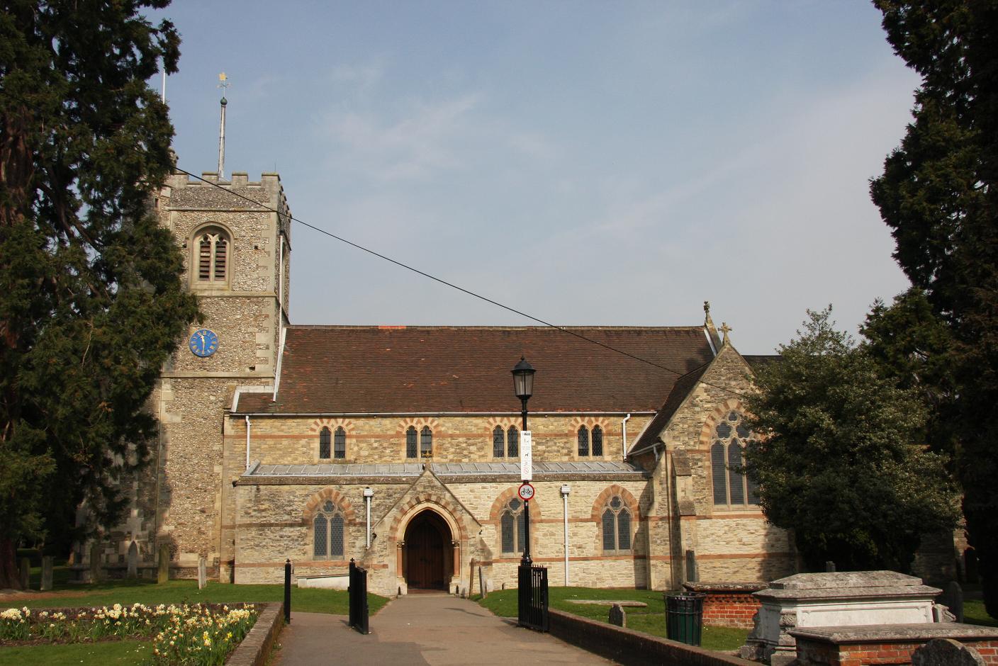
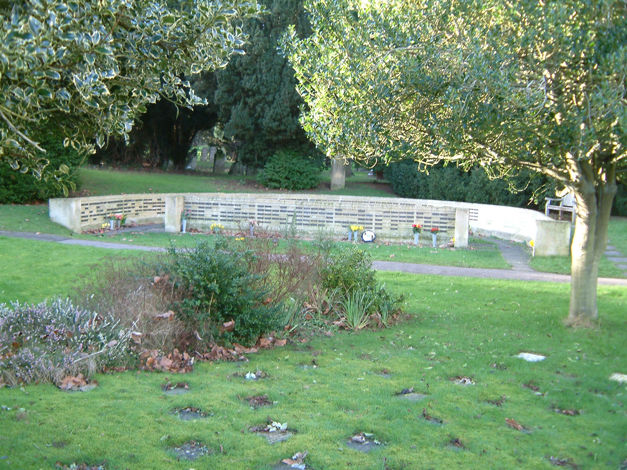
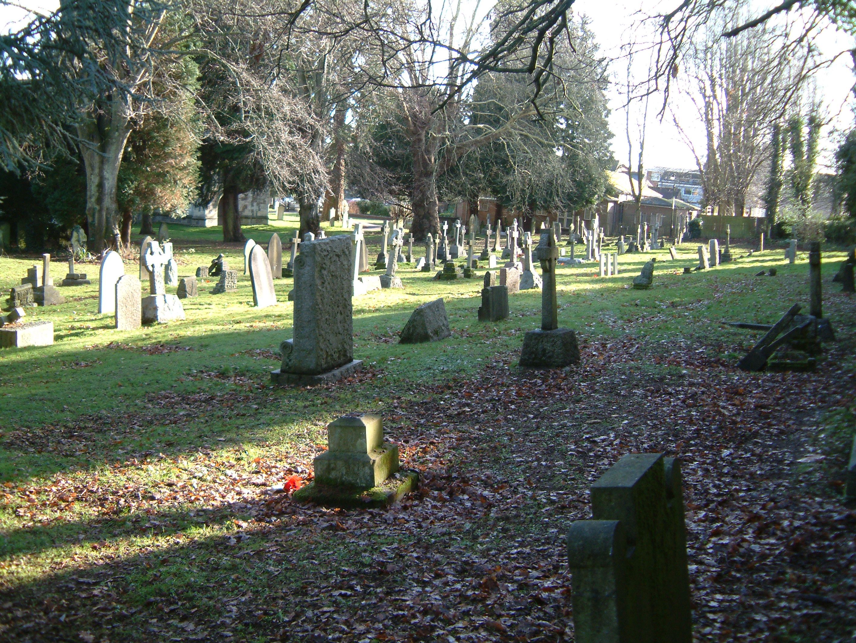
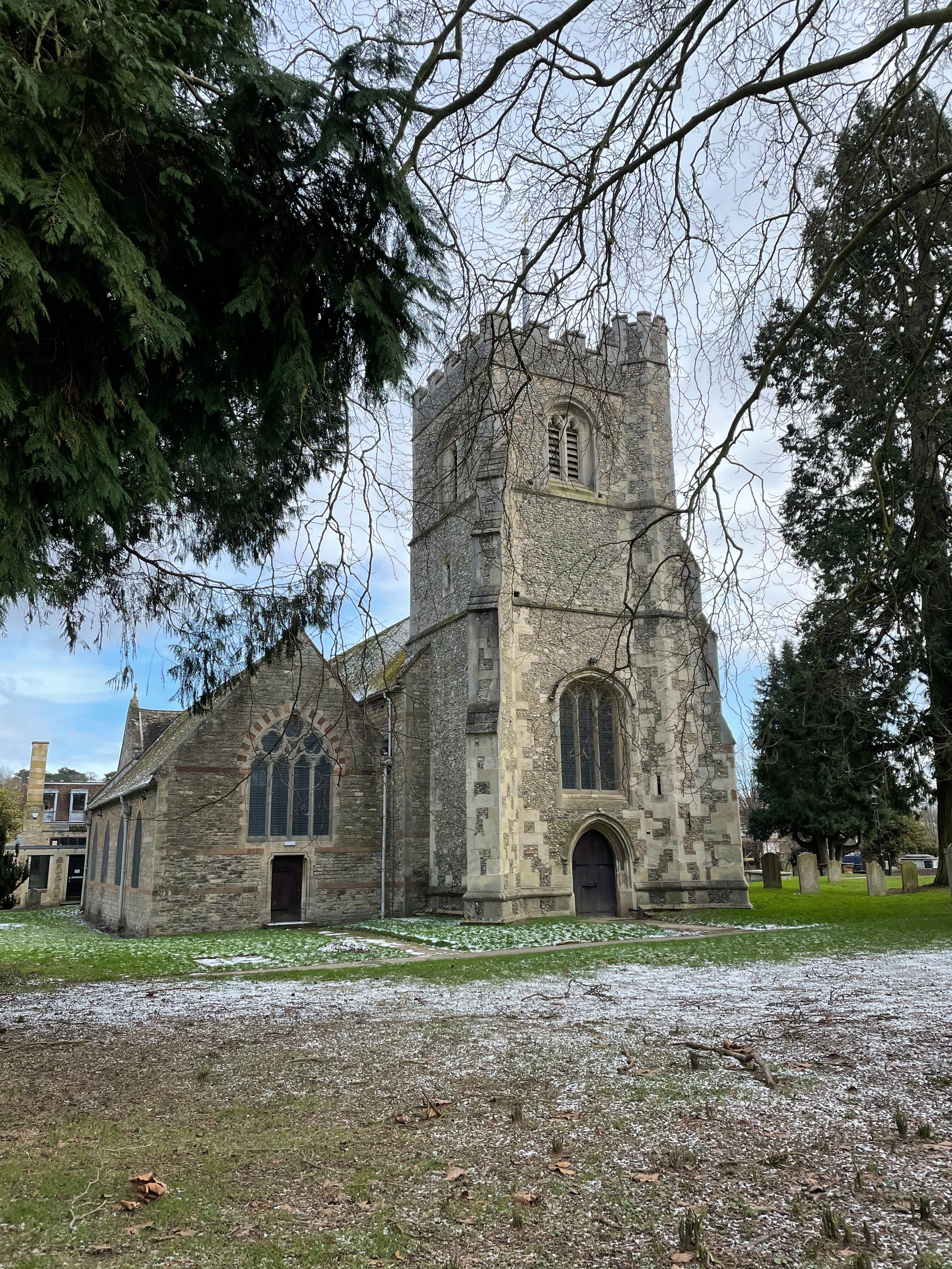
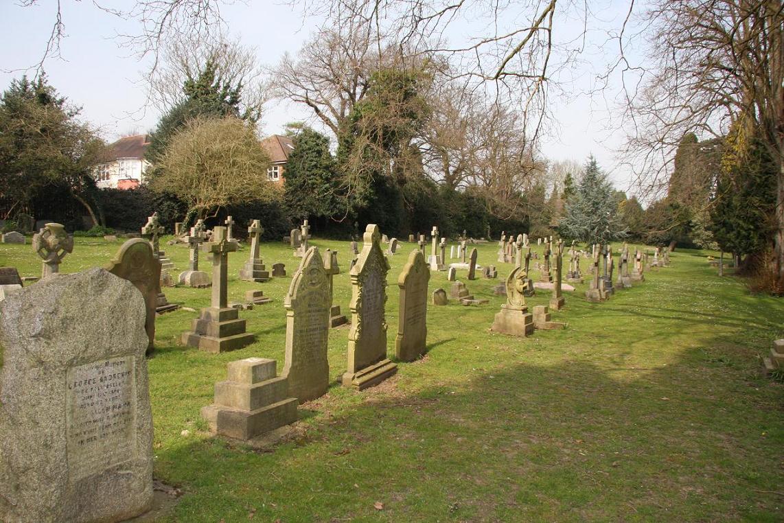
| Memorials | : | 59 |
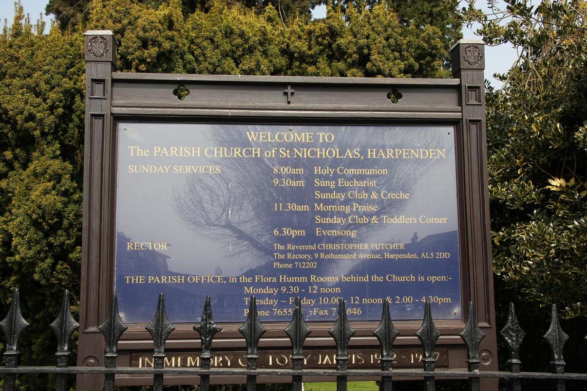
| Location | : | Harpenden, St Albans District, England |
| Coordinate | : | 51.8169470, -0.3583300 |
frequently asked questions (FAQ):
-
Where is St Nicholas Churchyard?
St Nicholas Churchyard is located at Harpenden, St Albans District ,Hertfordshire ,England.
-
St Nicholas Churchyard cemetery's updated grave count on graveviews.com?
59 memorials
-
Where are the coordinates of the St Nicholas Churchyard?
Latitude: 51.8169470
Longitude: -0.3583300
Nearby Cemetories:
1. Westfield Road Cemetery
Harpenden, St Albans District, England
Coordinate: 51.8270720, -0.3540300
2. National Children's Home Cemetery
Harpenden, St Albans District, England
Coordinate: 51.8305000, -0.3563000
3. Holy Trinity Churchyard
East Hyde, Central Bedfordshire Unitary Authority, England
Coordinate: 51.8433710, -0.3640760
4. St Mary Churchyard
Childwickbury, St Albans District, England
Coordinate: 51.7836980, -0.3473020
5. Childwickbury Manor
Childwickbury, St Albans District, England
Coordinate: 51.7809460, -0.3499100
6. Wheathampstead United Churchyard
Wheathampstead, St Albans District, England
Coordinate: 51.8108170, -0.2972210
7. St. Mary's Churchyard
Redbourn, St Albans District, England
Coordinate: 51.7916200, -0.4066100
8. St. Helen's Churchyard
Wheathampstead, St Albans District, England
Coordinate: 51.8124510, -0.2946400
9. St. Leonard's Churchyard
Flamstead, Dacorum Borough, England
Coordinate: 51.8199400, -0.4326800
10. St. Giles in the Woods Priory
Flamstead, Dacorum Borough, England
Coordinate: 51.8187400, -0.4374400
11. St Leonard Churchyard & Extension
Sandridge, St Albans District, England
Coordinate: 51.7813690, -0.3036580
12. Ss Peter and Paul Churchyard
Kimpton, North Hertfordshire District, England
Coordinate: 51.8527990, -0.2918240
13. St Lawrence Churchyard
Ayot St Lawrence, Welwyn Hatfield District, England
Coordinate: 51.8379490, -0.2717340
14. Ayot St Lawrence Old Churchyard
Ayot St Lawrence, Welwyn Hatfield District, England
Coordinate: 51.8377038, -0.2678795
15. St Andrew Woodside Churchyard
Slip End, Central Bedfordshire Unitary Authority, England
Coordinate: 51.8577160, -0.4306600
16. Luton Vauxhall Motors War Memorial
Luton, Luton Borough, England
Coordinate: 51.8745100, -0.3967500
17. St Peter's Churchyard
St Albans, St Albans District, England
Coordinate: 51.7555400, -0.3350270
18. St Michael’s Churchyard
St Albans, St Albans District, England
Coordinate: 51.7529540, -0.3560640
19. Dagnall Lane Baptist Chapel
St Albans, St Albans District, England
Coordinate: 51.7526990, -0.3405156
20. Spicer Street Chapel Burial Ground
St Albans, St Albans District, England
Coordinate: 51.7523288, -0.3423231
21. Romeland Hill Garden of Rest
St Albans, St Albans District, England
Coordinate: 51.7514540, -0.3438830
22. Aley Green Cemetery
Slip End, Central Bedfordshire Unitary Authority, England
Coordinate: 51.8522500, -0.4496420
23. Saint Alban's Cathedral
St Albans, St Albans District, England
Coordinate: 51.7504425, -0.3423680
24. Friend's Burial Ground
Luton, Luton Borough, England
Coordinate: 51.8738060, -0.4170870