
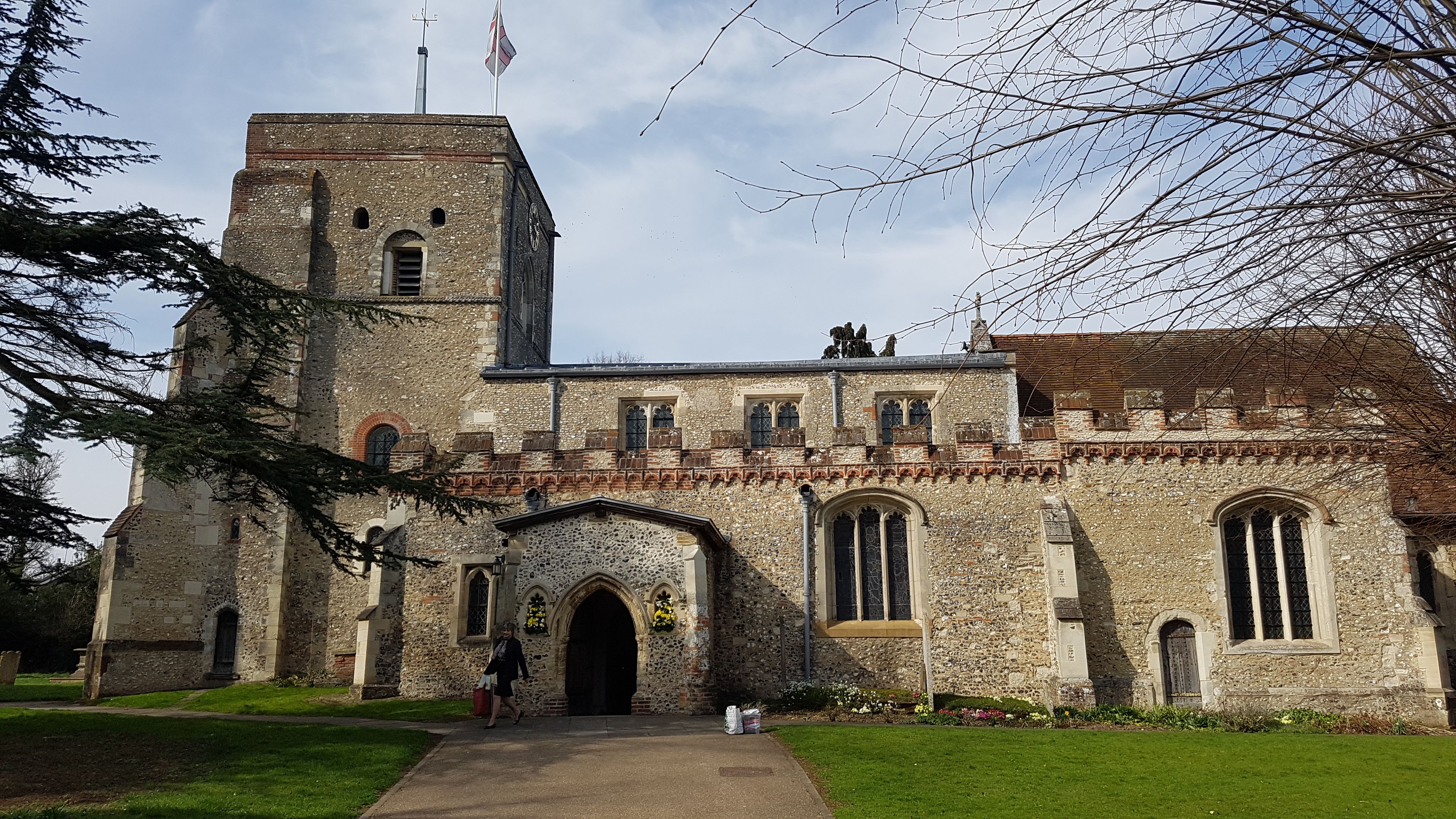
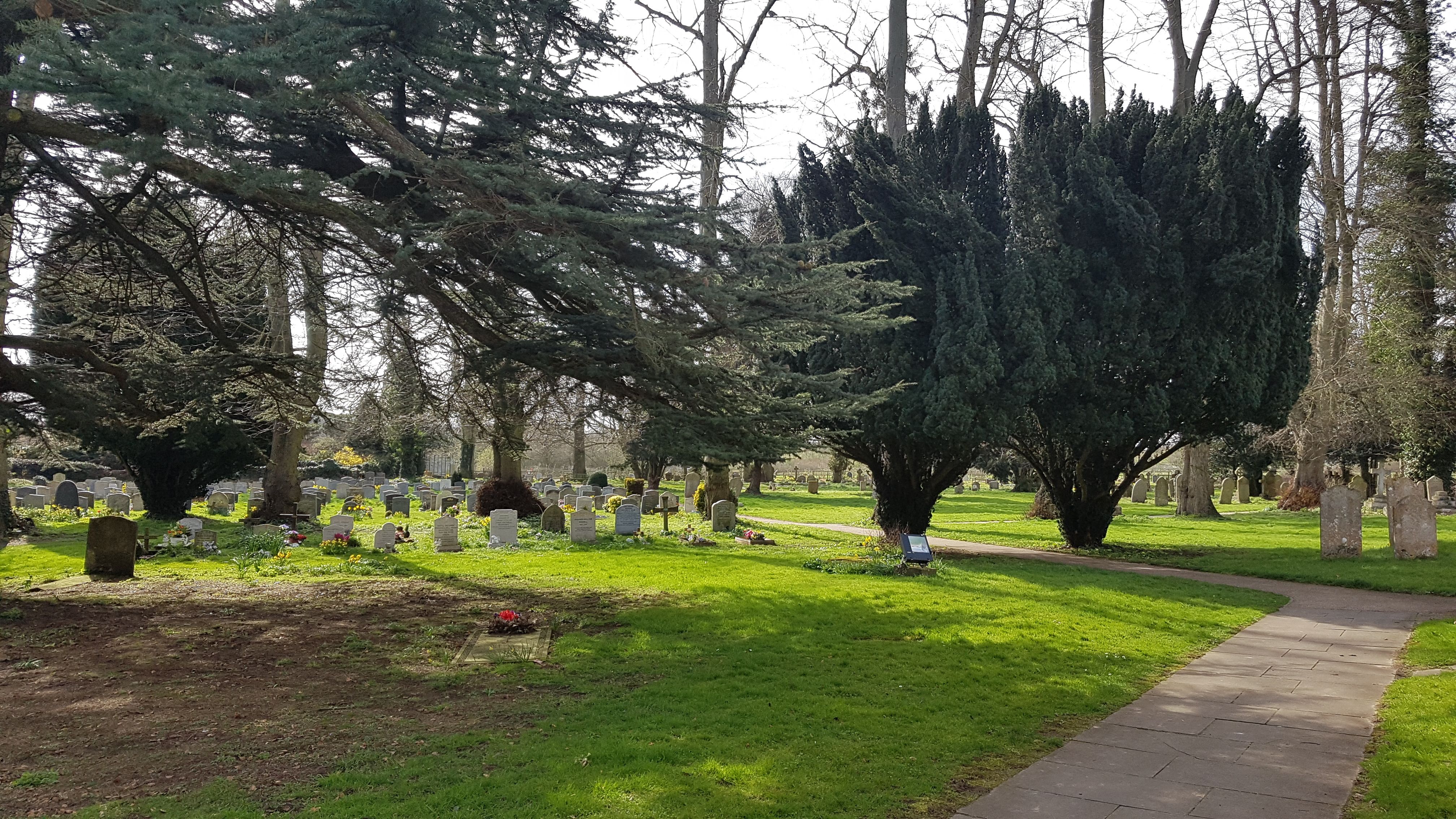
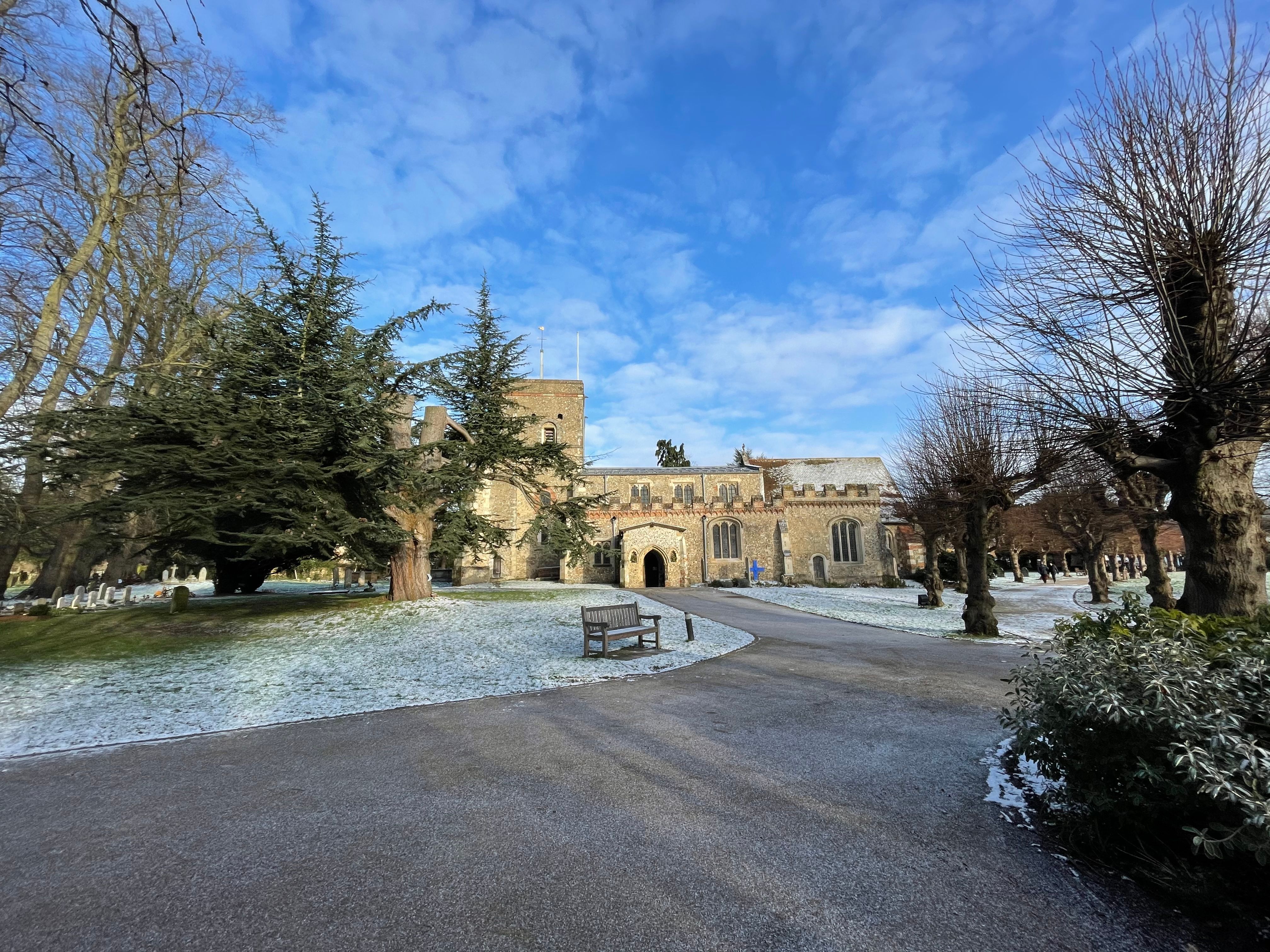
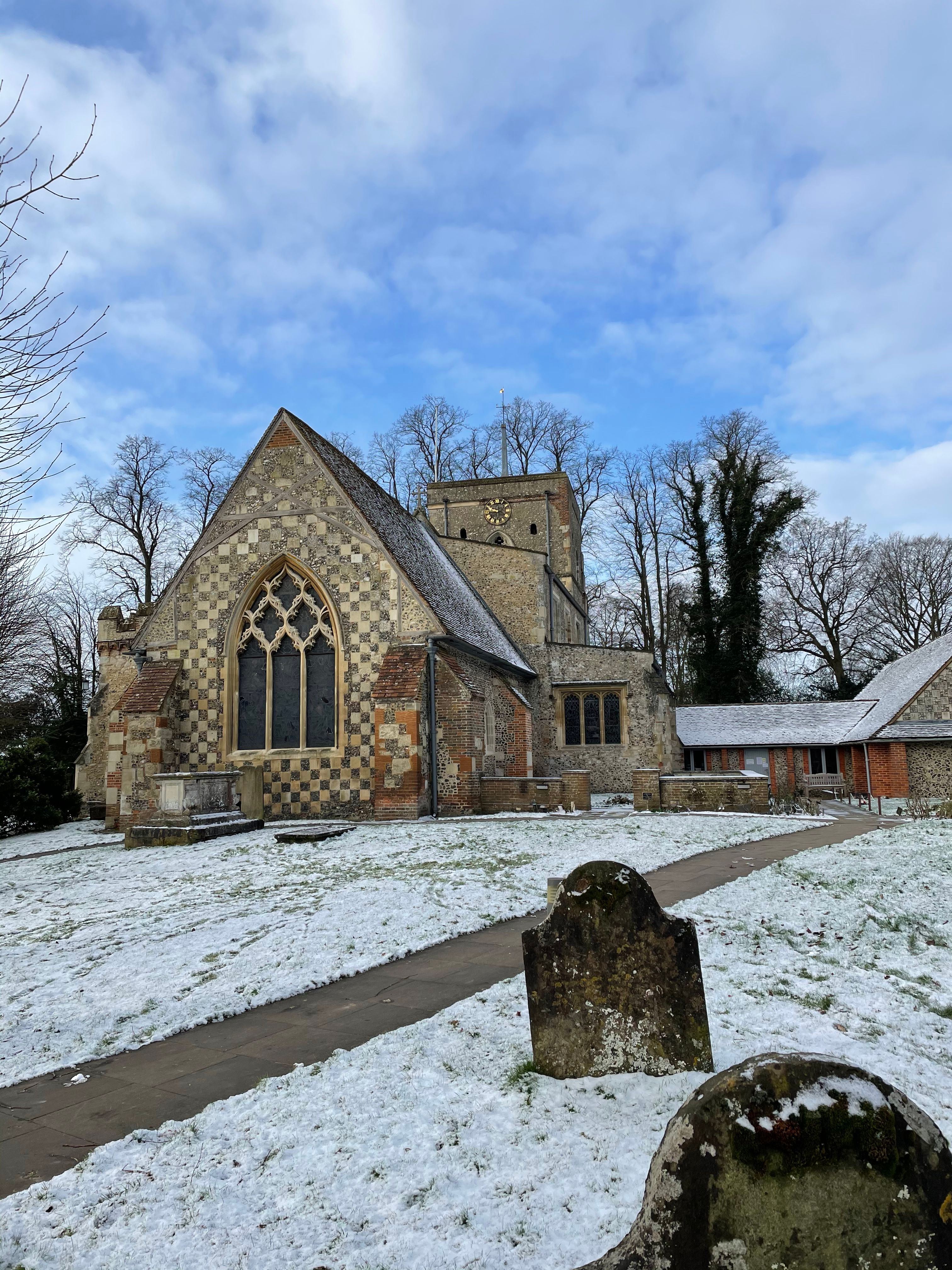
| Memorials | : | 119 |
| Location | : | Redbourn, St Albans District, England |
| Coordinate | : | 51.7916200, -0.4066100 |
frequently asked questions (FAQ):
-
Where is St. Mary's Churchyard?
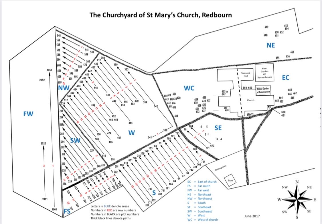
St. Mary's Churchyard is located at 49 Hemel Hempstead Rd Redbourn, St Albans District ,Hertfordshire , AL3 7NLEngland.
-
St. Mary's Churchyard cemetery's updated grave count on graveviews.com?
119 memorials
-
Where are the coordinates of the St. Mary's Churchyard?
Latitude: 51.7916200
Longitude: -0.4066100
Nearby Cemetories:
1. St. Leonard's Churchyard
Flamstead, Dacorum Borough, England
Coordinate: 51.8199400, -0.4326800
2. St. Giles in the Woods Priory
Flamstead, Dacorum Borough, England
Coordinate: 51.8187400, -0.4374400
3. Woodwells Cemetery
Hemel Hempstead, Dacorum Borough, England
Coordinate: 51.7576500, -0.4280300
4. Childwickbury Manor
Childwickbury, St Albans District, England
Coordinate: 51.7809460, -0.3499100
5. St Mary Churchyard
Childwickbury, St Albans District, England
Coordinate: 51.7836980, -0.3473020
6. St Nicholas Churchyard
Harpenden, St Albans District, England
Coordinate: 51.8169470, -0.3583300
7. Holy Trinity Churchyard
Leverstock Green, Dacorum Borough, England
Coordinate: 51.7466800, -0.4295770
8. Westfield Road Cemetery
Harpenden, St Albans District, England
Coordinate: 51.8270720, -0.3540300
9. St Michael’s Churchyard
St Albans, St Albans District, England
Coordinate: 51.7529540, -0.3560640
10. National Children's Home Cemetery
Harpenden, St Albans District, England
Coordinate: 51.8305000, -0.3563000
11. St. Mary's Churchyard
Hemel Hempstead, Dacorum Borough, England
Coordinate: 51.7590330, -0.4722730
12. Burma Star Association Memorial
Hemel Hempstead, Dacorum Borough, England
Coordinate: 51.7583610, -0.4727390
13. Romeland Hill Garden of Rest
St Albans, St Albans District, England
Coordinate: 51.7514540, -0.3438830
14. Spicer Street Chapel Burial Ground
St Albans, St Albans District, England
Coordinate: 51.7523288, -0.3423231
15. Dagnall Lane Baptist Chapel
St Albans, St Albans District, England
Coordinate: 51.7526990, -0.3405156
16. St Peter's Churchyard
St Albans, St Albans District, England
Coordinate: 51.7555400, -0.3350270
17. Saint Alban's Cathedral
St Albans, St Albans District, England
Coordinate: 51.7504425, -0.3423680
18. Holy Trinity Churchyard
East Hyde, Central Bedfordshire Unitary Authority, England
Coordinate: 51.8433710, -0.3640760
19. St. John the Baptist Churchyard
Markyate, Dacorum Borough, England
Coordinate: 51.8391900, -0.4658200
20. Heath Lane Cemetery
Hemel Hempstead, Dacorum Borough, England
Coordinate: 51.7512350, -0.4785220
21. St. Stephen's Churchyard
St Albans, St Albans District, England
Coordinate: 51.7417450, -0.3483370
22. Hemel Hempstead War Memorial
Hemel Hempstead, Dacorum Borough, England
Coordinate: 51.7444960, -0.4772990
23. St Leonard Churchyard & Extension
Sandridge, St Albans District, England
Coordinate: 51.7813690, -0.3036580
24. St John the Evangelist
Boxmoor, Dacorum Borough, England
Coordinate: 51.7444530, -0.4782000