
| Memorials | : | 17 |
| Location | : | Harpenden, St Albans District, England |
| Coordinate | : | 51.8305000, -0.3563000 |
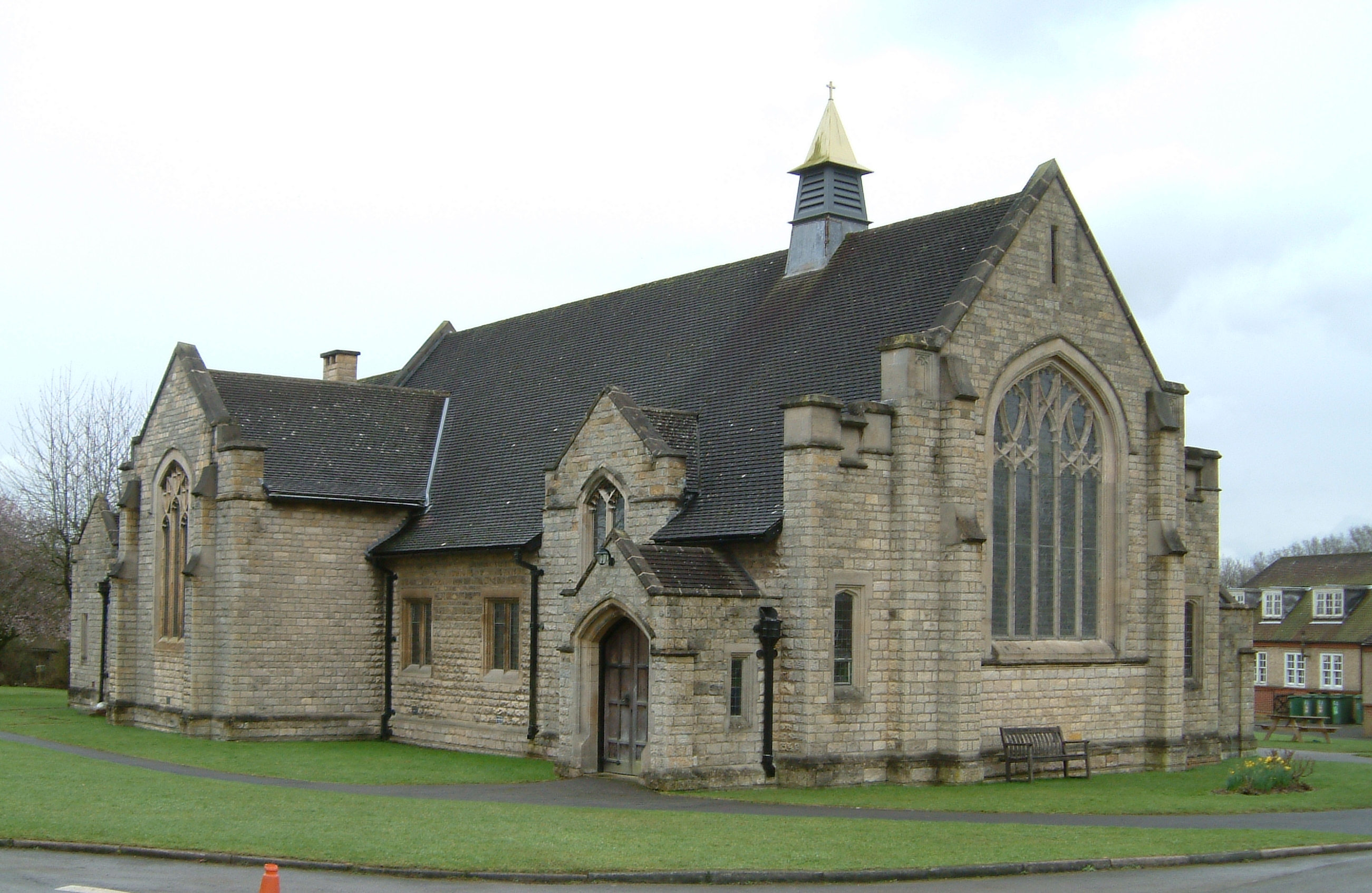
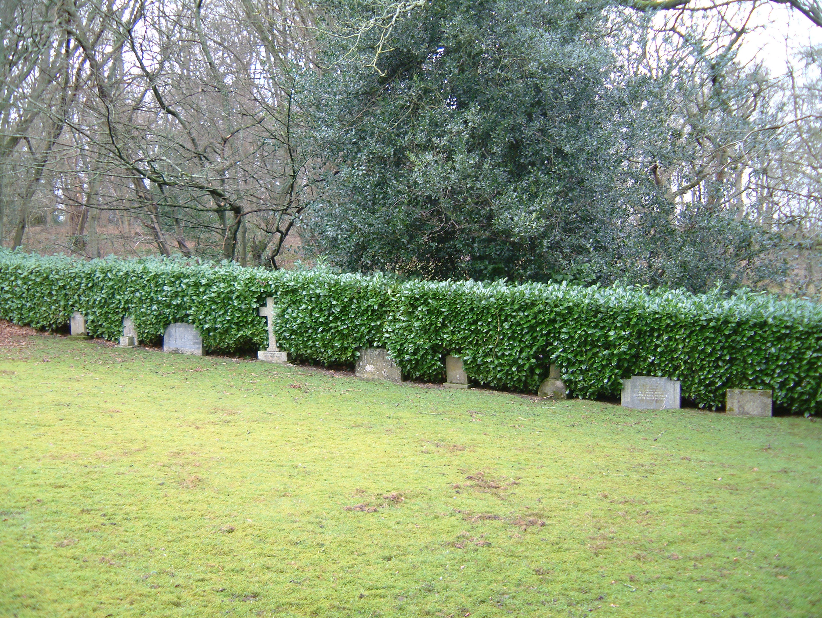
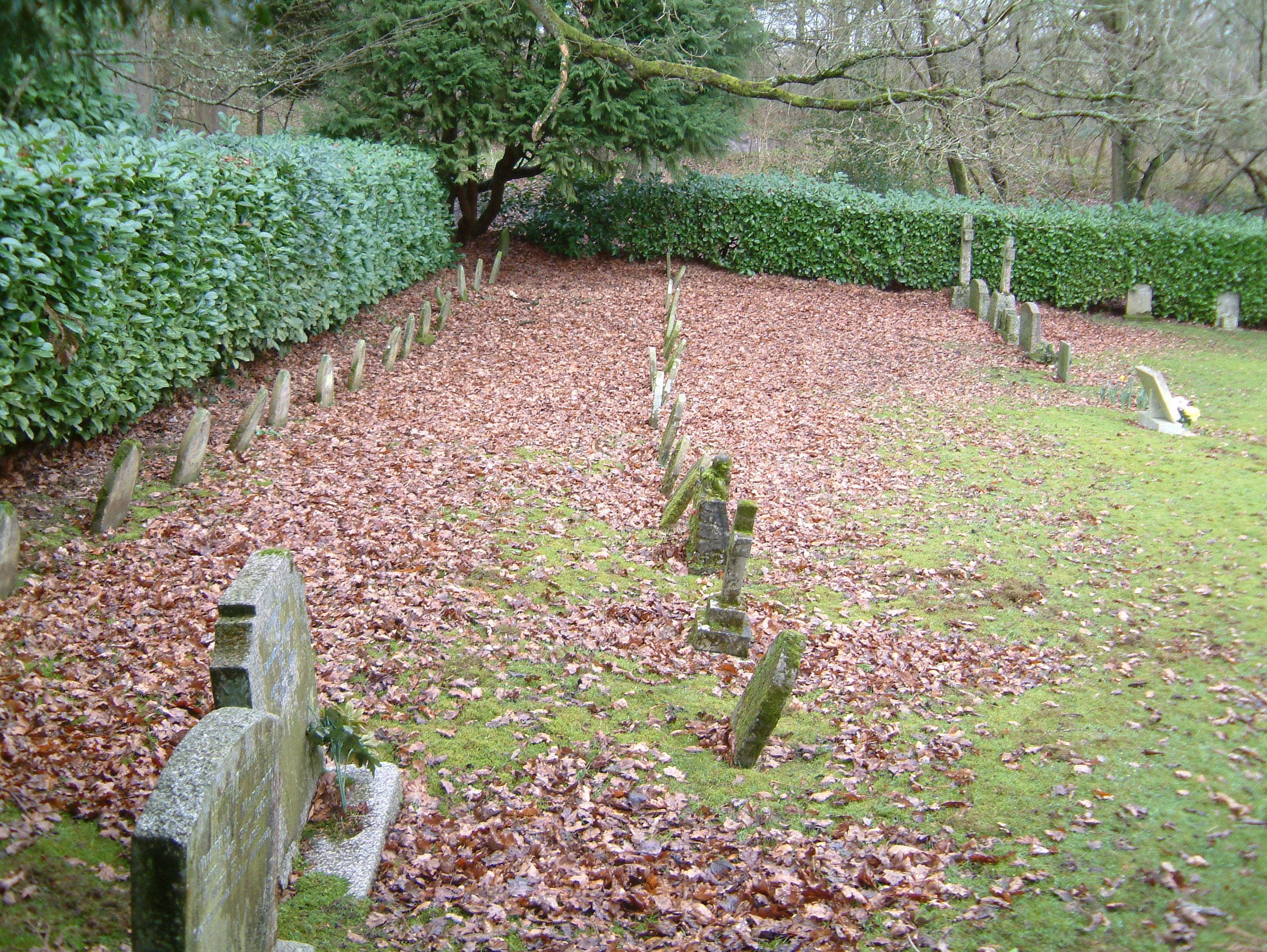
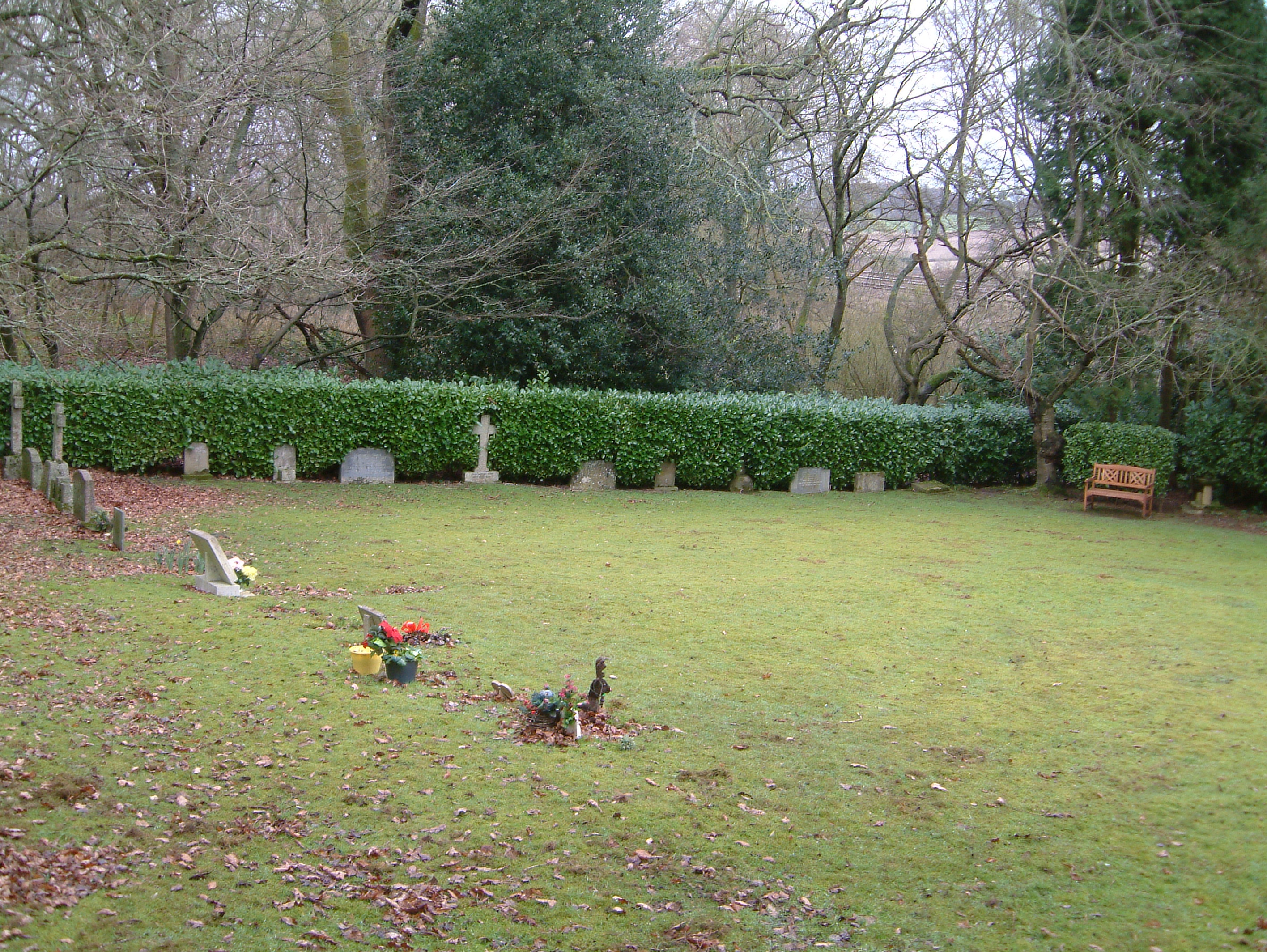
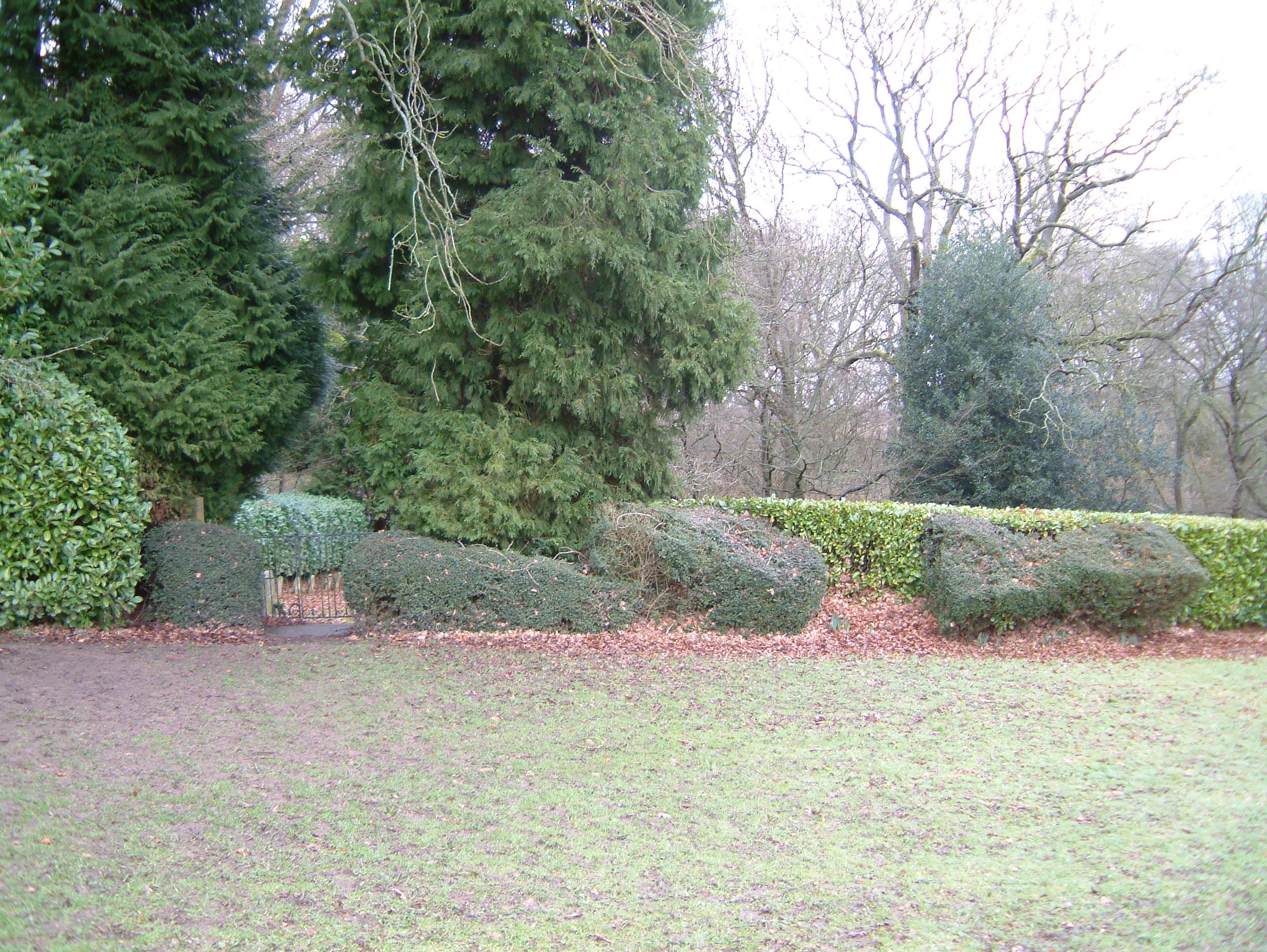
| Description | : | The cemetery contains burials of the children and staff of the former National Children's Home and Orphanage (NCH) in Harpenden. Occasional burials of former residents still take place in the cemetery. The NCH closed in 1985 but the cemetery is still maintained by NCH Action for Children. Access to the cemetery is through private property and the privacy of the residents should be respected when visiting the site. There is no formal path beyond the chapel and visitors should walk along the edge of the wood past the playing fields. The cemetery is then located at the furthest northern corner of... Read More |
frequently asked questions (FAQ):
-
Where is National Children's Home Cemetery?
National Children's Home Cemetery is located at Highfield Oval Harpenden, St Albans District ,Hertfordshire , AL5 4BXEngland.
-
National Children's Home Cemetery cemetery's updated grave count on graveviews.com?
17 memorials
-
Where are the coordinates of the National Children's Home Cemetery?
Latitude: 51.8305000
Longitude: -0.3563000

Nearby Cemetories:
1. Westfield Road Cemetery
Harpenden, St Albans District, England
Coordinate: 51.8270720, -0.3540300
2. St Nicholas Churchyard
Harpenden, St Albans District, England
Coordinate: 51.8169470, -0.3583300
3. Holy Trinity Churchyard
East Hyde, Central Bedfordshire Unitary Authority, England
Coordinate: 51.8433710, -0.3640760
4. Wheathampstead United Churchyard
Wheathampstead, St Albans District, England
Coordinate: 51.8108170, -0.2972210
5. St. Helen's Churchyard
Wheathampstead, St Albans District, England
Coordinate: 51.8124510, -0.2946400
6. Ss Peter and Paul Churchyard
Kimpton, North Hertfordshire District, England
Coordinate: 51.8527990, -0.2918240
7. St Mary Churchyard
Childwickbury, St Albans District, England
Coordinate: 51.7836980, -0.3473020
8. St. Leonard's Churchyard
Flamstead, Dacorum Borough, England
Coordinate: 51.8199400, -0.4326800
9. Childwickbury Manor
Childwickbury, St Albans District, England
Coordinate: 51.7809460, -0.3499100
10. St. Mary's Churchyard
Redbourn, St Albans District, England
Coordinate: 51.7916200, -0.4066100
11. Luton Vauxhall Motors War Memorial
Luton, Luton Borough, England
Coordinate: 51.8745100, -0.3967500
12. St. Giles in the Woods Priory
Flamstead, Dacorum Borough, England
Coordinate: 51.8187400, -0.4374400
13. St Lawrence Churchyard
Ayot St Lawrence, Welwyn Hatfield District, England
Coordinate: 51.8379490, -0.2717340
14. St Andrew Woodside Churchyard
Slip End, Central Bedfordshire Unitary Authority, England
Coordinate: 51.8577160, -0.4306600
15. Ayot St Lawrence Old Churchyard
Ayot St Lawrence, Welwyn Hatfield District, England
Coordinate: 51.8377038, -0.2678795
16. Breachwood Green Baptist Church
Kings Walden, North Hertfordshire District, England
Coordinate: 51.8843200, -0.3293700
17. Quaker Burial Ground
Luton, Luton Borough, England
Coordinate: 51.8791910, -0.4023320
18. Church Burial Ground
Luton, Luton Borough, England
Coordinate: 51.8794640, -0.4027310
19. Friend's Burial Ground
Luton, Luton Borough, England
Coordinate: 51.8738060, -0.4170870
20. St. Mary's Churchyard
Luton, Luton Borough, England
Coordinate: 51.8788681, -0.4100020
21. St Leonard Churchyard & Extension
Sandridge, St Albans District, England
Coordinate: 51.7813690, -0.3036580
22. Aley Green Cemetery
Slip End, Central Bedfordshire Unitary Authority, England
Coordinate: 51.8522500, -0.4496420
23. Luton General Cemetery
Luton, Luton Borough, England
Coordinate: 51.8773780, -0.4242060
24. St. John the Baptist Churchyard
Markyate, Dacorum Borough, England
Coordinate: 51.8391900, -0.4658200