
| Memorials | : | 6 |
| Location | : | Buckland, Franklin County, USA |
| Coordinate | : | 42.5932800, -72.7915000 |
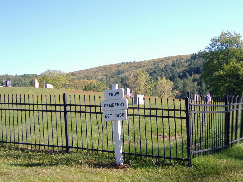
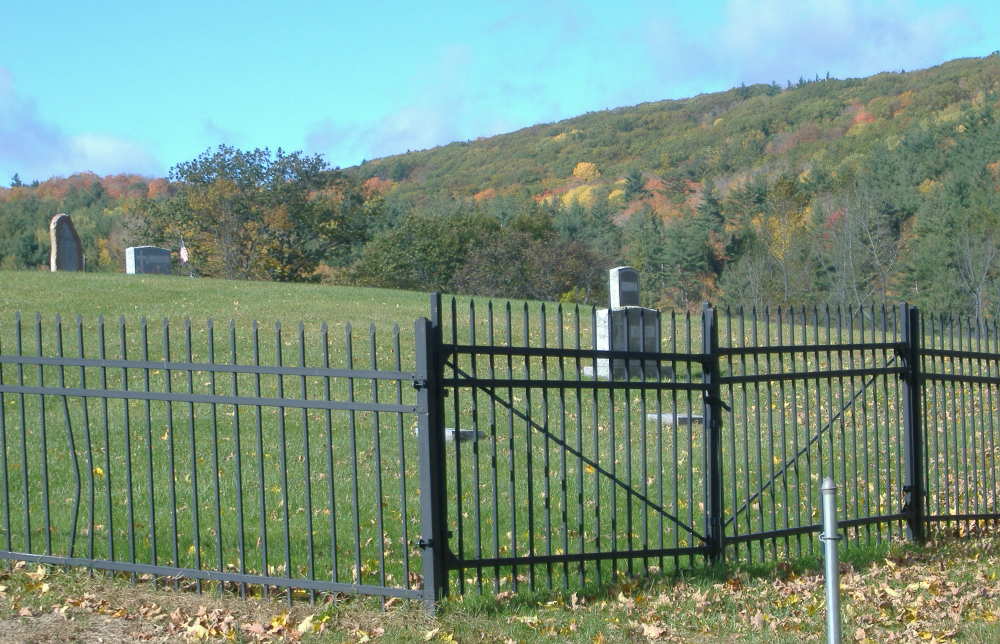
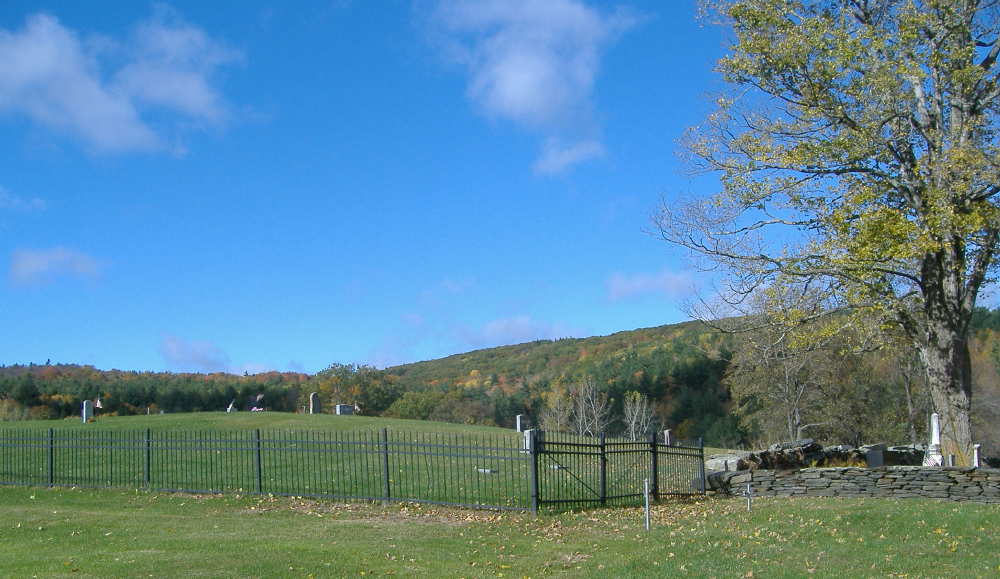
| Description | : | Named Trow Cemetery in honor of the heirs of Charles W Trow who conveyed the land for this cemetery. According to History of Buckland Vol II by Beulah Cross, land for this cemetery was deeded 30 December 1968 and development began after 1977. Trow Cemetery's eastern boundary borders the west side of Taylor Cemetery #02, they are separated by a stone wall. This cemetery is cared for by The Buckland Union Cemetery Assoc., a non-profit, all volunteer organization, that gratefully accepts donations for monument care and grounds keeping. Mail your contribution payable to BUCA, P.O.Box 69, Buckland MA 01338-0069. |
frequently asked questions (FAQ):
-
Where is Trow Cemetery #04?
Trow Cemetery #04 is located at Charlemont Road Buckland, Franklin County ,Massachusetts , 01338USA.
-
Trow Cemetery #04 cemetery's updated grave count on graveviews.com?
6 memorials
-
Where are the coordinates of the Trow Cemetery #04?
Latitude: 42.5932800
Longitude: -72.7915000
Nearby Cemetories:
1. Taylor Cemetery #02
Buckland, Franklin County, USA
Coordinate: 42.5932808, -72.7915039
2. Center Cemetery #03
Buckland, Franklin County, USA
Coordinate: 42.5926950, -72.7898960
3. Old Cemetery #01
Buckland, Franklin County, USA
Coordinate: 42.5918580, -72.7906890
4. Old East Buckland Cemetery
Buckland, Franklin County, USA
Coordinate: 42.5969400, -72.7677900
5. East Buckland Cemetery
Buckland, Franklin County, USA
Coordinate: 42.5962500, -72.7610600
6. East Charlemont Cemetery
Charlemont, Franklin County, USA
Coordinate: 42.6197853, -72.7932739
7. Upper City Cemetery
Buckland, Franklin County, USA
Coordinate: 42.5832640, -72.8355360
8. Leavitt Cemetery
Charlemont, Franklin County, USA
Coordinate: 42.6175003, -72.8332977
9. Old Cemetery #01
Buckland, Franklin County, USA
Coordinate: 42.6175731, -72.8341600
10. Old Cemetery
Charlemont, Franklin County, USA
Coordinate: 42.6213111, -72.8333681
11. Northwest Cemetery
Ashfield, Franklin County, USA
Coordinate: 42.5587500, -72.8250500
12. Baptist Corner Cemetery
Ashfield, Franklin County, USA
Coordinate: 42.5540771, -72.7639313
13. Arms Cemetery
Shelburne Falls, Franklin County, USA
Coordinate: 42.6166992, -72.7332993
14. North Shirkshire Cemetery
Conway, Franklin County, USA
Coordinate: 42.5689011, -72.7210999
15. Beldingville Cemetery
Ashfield, Franklin County, USA
Coordinate: 42.5365562, -72.7638016
16. Doane Cemetery
Hawley, Franklin County, USA
Coordinate: 42.5844002, -72.8739014
17. Plain Cemetery
Ashfield, Franklin County, USA
Coordinate: 42.5292015, -72.7889023
18. Saint John's Church
Ashfield, Franklin County, USA
Coordinate: 42.5258600, -72.7894260
19. Village Cemetery
Charlemont, Franklin County, USA
Coordinate: 42.6274185, -72.8711929
20. South Cemetery
Heath, Franklin County, USA
Coordinate: 42.6542015, -72.8321991
21. East Hawley Cemetery
Hawley, Franklin County, USA
Coordinate: 42.5621071, -72.8768005
22. Shelburne Center Cemetery
Shelburne, Franklin County, USA
Coordinate: 42.5830000, -72.6969600
23. Hill Cemetery
Ashfield, Franklin County, USA
Coordinate: 42.5208015, -72.7992020
24. Bozrah Cemetery
Hawley, Franklin County, USA
Coordinate: 42.6097679, -72.8877258