
| Memorials | : | 0 |
| Location | : | Cincinnati, Hamilton County, USA |
| Coordinate | : | 39.1097710, -84.5346450 |
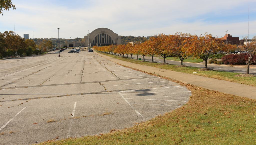
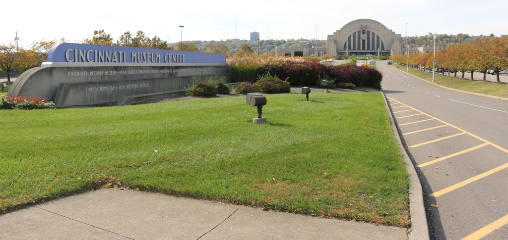
| Description | : | The cemetery was situated between Kenner Street on the north, Hopkins Street on the south, the railroad tracks west of the Cincinnati Museum Center (formerly Union Terminal) on the west, and Western Avenue on the east. The Potters Field was established a few years after the creation of the city of Cincinnati, which occurred in 1788, and was replaced by Lincoln Park by 1858. Later, in the 1930’s, Union terminal was built on the site. The burials in the cemetery were supposed to have been moved to the Guerley Road Potters Field. The cemetery was located in the city of... Read More |
frequently asked questions (FAQ):
-
Where is Lincoln Park Potters Field (Defunct)?
Lincoln Park Potters Field (Defunct) is located at Ezzard Charles Drive Cincinnati, Hamilton County ,Ohio , 45203USA.
-
Lincoln Park Potters Field (Defunct) cemetery's updated grave count on graveviews.com?
0 memorials
-
Where are the coordinates of the Lincoln Park Potters Field (Defunct)?
Latitude: 39.1097710
Longitude: -84.5346450
Nearby Cemetories:
1. Second Quaker Cemetery (Defunct)
Cincinnati, Hamilton County, USA
Coordinate: 39.1153090, -84.5305240
2. Catherine Street Burying Ground
Cincinnati, Hamilton County, USA
Coordinate: 39.1067490, -84.5252700
3. Catherine Street Methodist Cemetery (Defunct)
Cincinnati, Hamilton County, USA
Coordinate: 39.1064840, -84.5243150
4. Enon Baptist Church Burying Ground (Defunct)
Cincinnati, Hamilton County, USA
Coordinate: 39.1065420, -84.5238110
5. Chestnut Street Cemetery
Over-The-Rhine, Hamilton County, USA
Coordinate: 39.1071610, -84.5212210
6. Potters Field
Cincinnati, Hamilton County, USA
Coordinate: 39.1094440, -84.5188890
7. Christ Episcopal Churchyard (Defunct)
Cincinnati, Hamilton County, USA
Coordinate: 39.1100520, -84.5177220
8. Presbyterian Burying Ground
Cincinnati, Hamilton County, USA
Coordinate: 39.1082510, -84.5175720
9. First Quaker Cemetery (Defunct)
Cincinnati, Hamilton County, USA
Coordinate: 39.1004360, -84.5201220
10. Christ Church Cemetery
Over-The-Rhine, Hamilton County, USA
Coordinate: 39.1126480, -84.5157623
11. Thomas Williams Cemetery (Defunct)
Cincinnati, Hamilton County, USA
Coordinate: 39.1085060, -84.5146050
12. First Presbyterian Church Cemetery
Cincinnati, Hamilton County, USA
Coordinate: 39.1005310, -84.5102830
13. Wesleyan Chapel Methodist Church Cemetery
Cincinnati, Hamilton County, USA
Coordinate: 39.1022390, -84.5073540
14. Christ Church Cathedral Columbarium
Cincinnati, Hamilton County, USA
Coordinate: 39.1009690, -84.5073790
15. McCrackin Gravesite
Cincinnati, Hamilton County, USA
Coordinate: 39.0964090, -84.5082230
16. Trinity Episcopal Church Memorial Garden
Covington, Kenton County, USA
Coordinate: 39.0873540, -84.5106140
17. Montague Cemetery
Covington, Kenton County, USA
Coordinate: 39.0805560, -84.5380550
18. Craig Street Burying Ground
Covington, Kenton County, USA
Coordinate: 39.0840890, -84.5151330
19. Hillside Chapel Crematory and Columbarium
Cincinnati, Hamilton County, USA
Coordinate: 39.1393509, -84.5247192
20. Saint Joseph Irish Cemetery
Price Hill, Hamilton County, USA
Coordinate: 39.1075050, -84.5740940
21. Mother of God Church
Covington, Kenton County, USA
Coordinate: 39.0839600, -84.5125700
22. Martini United Church of Christ Cemetery
Fairmount, Hamilton County, USA
Coordinate: 39.1296272, -84.5664902
23. Wilson Cemetery
Covington, Kenton County, USA
Coordinate: 39.0786110, -84.5438900
24. Saint Joseph Cemetery
Cincinnati, Hamilton County, USA
Coordinate: 39.1035995, -84.5757980