
| Memorials | : | 0 |
| Location | : | Cincinnati, Hamilton County, USA |
| Coordinate | : | 39.1065420, -84.5238110 |
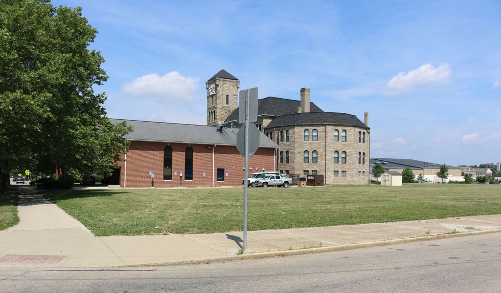
| Description | : | This defunct cemetery was established on 16 September 1826 and was 3 acres in size. Reburials were made in the Wesleyan Cemetery and Spring Grove Cemetery about 1858. Both an 1842 and an 1868 Cincinnati Atlas shows three cemeteries along Catherine (now Court) Street with that street as their southern boundary. The western cemetery is the Catholic Burying Ground, the eastern cemetery is the Baptist Burying Ground, and the middle cemetery is the Methodist Burying Ground. The Catherine Street Burying Ground (Catholic cemetery) has Kossuth Street (now approximately Ruhr Way) as the western boundary. The cemetery straddles Cutter Street... Read More |
frequently asked questions (FAQ):
-
Where is Enon Baptist Church Burying Ground (Defunct)?
Enon Baptist Church Burying Ground (Defunct) is located at Mount Street Cincinnati, Hamilton County ,Ohio , 45203USA.
-
Enon Baptist Church Burying Ground (Defunct) cemetery's updated grave count on graveviews.com?
0 memorials
-
Where are the coordinates of the Enon Baptist Church Burying Ground (Defunct)?
Latitude: 39.1065420
Longitude: -84.5238110
Nearby Cemetories:
1. Catherine Street Methodist Cemetery (Defunct)
Cincinnati, Hamilton County, USA
Coordinate: 39.1064840, -84.5243150
2. Catherine Street Burying Ground
Cincinnati, Hamilton County, USA
Coordinate: 39.1067490, -84.5252700
3. Chestnut Street Cemetery
Over-The-Rhine, Hamilton County, USA
Coordinate: 39.1071610, -84.5212210
4. Potters Field
Cincinnati, Hamilton County, USA
Coordinate: 39.1094440, -84.5188890
5. Presbyterian Burying Ground
Cincinnati, Hamilton County, USA
Coordinate: 39.1082510, -84.5175720
6. Christ Episcopal Churchyard (Defunct)
Cincinnati, Hamilton County, USA
Coordinate: 39.1100520, -84.5177220
7. First Quaker Cemetery (Defunct)
Cincinnati, Hamilton County, USA
Coordinate: 39.1004360, -84.5201220
8. Thomas Williams Cemetery (Defunct)
Cincinnati, Hamilton County, USA
Coordinate: 39.1085060, -84.5146050
9. Christ Church Cemetery
Over-The-Rhine, Hamilton County, USA
Coordinate: 39.1126480, -84.5157623
10. Lincoln Park Potters Field (Defunct)
Cincinnati, Hamilton County, USA
Coordinate: 39.1097710, -84.5346450
11. Second Quaker Cemetery (Defunct)
Cincinnati, Hamilton County, USA
Coordinate: 39.1153090, -84.5305240
12. First Presbyterian Church Cemetery
Cincinnati, Hamilton County, USA
Coordinate: 39.1005310, -84.5102830
13. Wesleyan Chapel Methodist Church Cemetery
Cincinnati, Hamilton County, USA
Coordinate: 39.1022390, -84.5073540
14. Christ Church Cathedral Columbarium
Cincinnati, Hamilton County, USA
Coordinate: 39.1009690, -84.5073790
15. McCrackin Gravesite
Cincinnati, Hamilton County, USA
Coordinate: 39.0964090, -84.5082230
16. Trinity Episcopal Church Memorial Garden
Covington, Kenton County, USA
Coordinate: 39.0873540, -84.5106140
17. Craig Street Burying Ground
Covington, Kenton County, USA
Coordinate: 39.0840890, -84.5151330
18. Mother of God Church
Covington, Kenton County, USA
Coordinate: 39.0839600, -84.5125700
19. Madison Street Burying Ground
Newport, Campbell County, USA
Coordinate: 39.0922790, -84.4948560
20. Montague Cemetery
Covington, Kenton County, USA
Coordinate: 39.0805560, -84.5380550
21. Old Newport Cemetery
Newport, Campbell County, USA
Coordinate: 39.0877100, -84.4940800
22. Cathedral Basilica of the Assumption
Covington, Kenton County, USA
Coordinate: 39.0781120, -84.5081700
23. Wilson Cemetery
Covington, Kenton County, USA
Coordinate: 39.0786110, -84.5438900
24. Methodist Protestant Cemetery (Defunct)
Cincinnati, Hamilton County, USA
Coordinate: 39.1324770, -84.4983160