
| Memorials | : | 1 |
| Location | : | Cincinnati, Hamilton County, USA |
| Coordinate | : | 39.1067490, -84.5252700 |
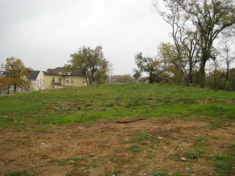
| Description | : | This is a now non-existent cemetery. It was the second Catholic cemetery in Cincinnati. The land was purchased on April 30, 1828, by the bishop. The cemetery was closed in 1843, and the land was sold in 1867. Supposedly, the graves were moved by then. But, in chapter XL “Cemeteries” on page 376 of the 1881 book “History of Cincinnati Ohio with Illustrations” complied by Henry A Ford et al., the book reported that the cemetery “is yet marked with an inside enclosure of iron fence, containing some graves”. The same book identifies Catherine Street Burying Ground as being on... Read More |
frequently asked questions (FAQ):
-
Where is Catherine Street Burying Ground?
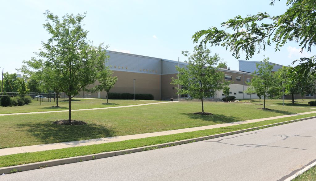
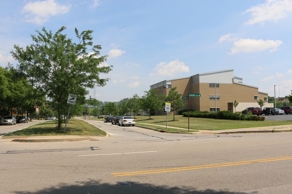
Catherine Street Burying Ground is located at Cutter Street Cincinnati, Hamilton County ,Ohio , 45203USA.
-
Catherine Street Burying Ground cemetery's updated grave count on graveviews.com?
1 memorials
-
Where are the coordinates of the Catherine Street Burying Ground?
Latitude: 39.1067490
Longitude: -84.5252700
Nearby Cemetories:
1. Catherine Street Methodist Cemetery (Defunct)
Cincinnati, Hamilton County, USA
Coordinate: 39.1064840, -84.5243150
2. Enon Baptist Church Burying Ground (Defunct)
Cincinnati, Hamilton County, USA
Coordinate: 39.1065420, -84.5238110
3. Chestnut Street Cemetery
Over-The-Rhine, Hamilton County, USA
Coordinate: 39.1071610, -84.5212210
4. Potters Field
Cincinnati, Hamilton County, USA
Coordinate: 39.1094440, -84.5188890
5. Presbyterian Burying Ground
Cincinnati, Hamilton County, USA
Coordinate: 39.1082510, -84.5175720
6. Christ Episcopal Churchyard (Defunct)
Cincinnati, Hamilton County, USA
Coordinate: 39.1100520, -84.5177220
7. First Quaker Cemetery (Defunct)
Cincinnati, Hamilton County, USA
Coordinate: 39.1004360, -84.5201220
8. Lincoln Park Potters Field (Defunct)
Cincinnati, Hamilton County, USA
Coordinate: 39.1097710, -84.5346450
9. Thomas Williams Cemetery (Defunct)
Cincinnati, Hamilton County, USA
Coordinate: 39.1085060, -84.5146050
10. Christ Church Cemetery
Over-The-Rhine, Hamilton County, USA
Coordinate: 39.1126480, -84.5157623
11. Second Quaker Cemetery (Defunct)
Cincinnati, Hamilton County, USA
Coordinate: 39.1153090, -84.5305240
12. First Presbyterian Church Cemetery
Cincinnati, Hamilton County, USA
Coordinate: 39.1005310, -84.5102830
13. Wesleyan Chapel Methodist Church Cemetery
Cincinnati, Hamilton County, USA
Coordinate: 39.1022390, -84.5073540
14. Christ Church Cathedral Columbarium
Cincinnati, Hamilton County, USA
Coordinate: 39.1009690, -84.5073790
15. McCrackin Gravesite
Cincinnati, Hamilton County, USA
Coordinate: 39.0964090, -84.5082230
16. Trinity Episcopal Church Memorial Garden
Covington, Kenton County, USA
Coordinate: 39.0873540, -84.5106140
17. Craig Street Burying Ground
Covington, Kenton County, USA
Coordinate: 39.0840890, -84.5151330
18. Mother of God Church
Covington, Kenton County, USA
Coordinate: 39.0839600, -84.5125700
19. Madison Street Burying Ground
Newport, Campbell County, USA
Coordinate: 39.0922790, -84.4948560
20. Montague Cemetery
Covington, Kenton County, USA
Coordinate: 39.0805560, -84.5380550
21. Old Newport Cemetery
Newport, Campbell County, USA
Coordinate: 39.0877100, -84.4940800
22. Cathedral Basilica of the Assumption
Covington, Kenton County, USA
Coordinate: 39.0781120, -84.5081700
23. Wilson Cemetery
Covington, Kenton County, USA
Coordinate: 39.0786110, -84.5438900
24. Hillside Chapel Crematory and Columbarium
Cincinnati, Hamilton County, USA
Coordinate: 39.1393509, -84.5247192