
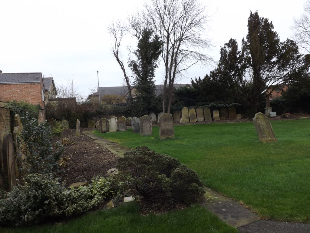
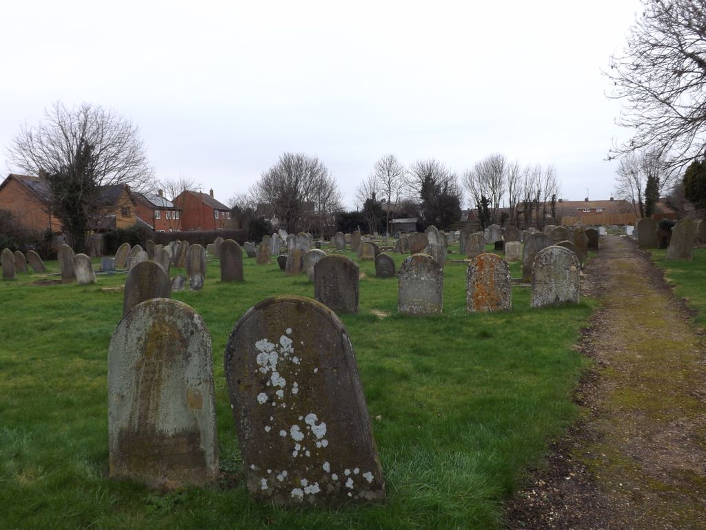
| Memorials | : | 0 |
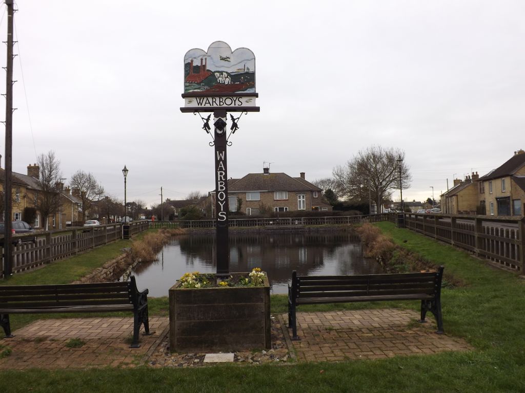
| Location | : | Warboys, Huntingdonshire District, England |
| Coordinate | : | 52.4043400, -0.0774800 |
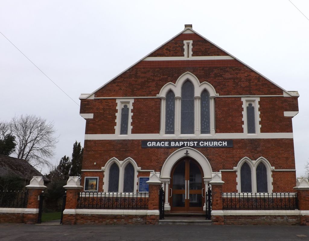
| Description | : | In 1644, during the English Civil War, a soldier from Cromwell’s army, named Henry Denne, preached in the village. People were converted and he baptised these new believers – William Dunn, John Richards, John Ward, John Kidson and William Askew - and a church was formed. The first pastor was William Dunn. Those early believers would meet in each other’s homes to worship. It’s clear that close links were established with a church at Fenstanton, near St. Ives. For non-conformists, there were times of persecution in the late 1600s. In 1683 a minute from a church meeting reads, “This year presents... Read More |
frequently asked questions (FAQ):
-
Where is Warboys Grace Baptist Churchyard?
Warboys Grace Baptist Churchyard is located at 73 High Street Warboys, Huntingdonshire District ,Cambridgeshire , PE28 2TAEngland.
-
Warboys Grace Baptist Churchyard cemetery's updated grave count on graveviews.com?
0 memorials
-
Where are the coordinates of the Warboys Grace Baptist Churchyard?
Latitude: 52.4043400
Longitude: -0.0774800
Nearby Cemetories:
1. St Mary Magdalene Churchyard
Warboys, Huntingdonshire District, England
Coordinate: 52.4012820, -0.0867350
2. Warboys Church Cemetery
Warboys, Huntingdonshire District, England
Coordinate: 52.3983080, -0.0875820
3. All Saints Churchyard
Pidley, Huntingdonshire District, England
Coordinate: 52.3863792, -0.0513670
4. St Peter's Churchyard
Huntingdonshire District, England
Coordinate: 52.3782650, -0.0914604
5. St. John the Baptist Churchyard
Wistow, Huntingdonshire District, England
Coordinate: 52.4117600, -0.1214880
6. All Saints Churchyard
Broughton, Huntingdonshire District, England
Coordinate: 52.3842502, -0.1198858
7. Ramsey Abbey
Ramsey, Huntingdonshire District, England
Coordinate: 52.4483330, -0.1008330
8. Upwood Cemetery
Upwood, Huntingdonshire District, England
Coordinate: 52.4240800, -0.1525400
9. Wood Lane Cemetery
Ramsey, Huntingdonshire District, England
Coordinate: 52.4525800, -0.0994800
10. St Peter Churchyard
Kings Ripton, Huntingdonshire District, England
Coordinate: 52.3725600, -0.1487900
11. Ramsey Road Cemetery
St Ives, Huntingdonshire District, England
Coordinate: 52.3442700, -0.0854900
12. Graveyard of St. Helen's Old Church
Colne, Huntingdonshire District, England
Coordinate: 52.3661989, 0.0058234
13. Houghton and Wyton Burial Ground
Wyton, Huntingdonshire District, England
Coordinate: 52.3352100, -0.1135900
14. St Andrew Churchyard
Abbots Ripton, Huntingdonshire District, England
Coordinate: 52.3863790, -0.1932260
15. Baptist Church Cemetery
Bluntisham, Huntingdonshire District, England
Coordinate: 52.3525450, 0.0075530
16. St. Mary's Churchyard
Ramsey Saint Marys, Huntingdonshire District, England
Coordinate: 52.4688020, -0.0153334
17. St Ives Church Cemetery
St Ives, Huntingdonshire District, England
Coordinate: 52.3287800, -0.0821800
18. St Margaret and All Saints Churchyard
Wyton, Huntingdonshire District, England
Coordinate: 52.3335810, -0.1257620
19. St. Mary's Churchyard
Bluntisham, Huntingdonshire District, England
Coordinate: 52.3510300, 0.0135590
20. Houghton Chapel
Houghton, Huntingdonshire District, England
Coordinate: 52.3322400, -0.1219200
21. St Mary The Virgin
Houghton, Huntingdonshire District, England
Coordinate: 52.3320200, -0.1213200
22. St. Ives All Saints Churchyard
St Ives, Huntingdonshire District, England
Coordinate: 52.3265900, -0.0794200
23. All Saints Churchyard
St Ives, Huntingdonshire District, England
Coordinate: 52.3265800, -0.0794490
24. St Ives Public Cemetery
St Ives, Huntingdonshire District, England
Coordinate: 52.3264600, -0.0744300