
| Memorials | : | 5 |
| Location | : | Cowansville, Armstrong County, USA |
| Coordinate | : | 40.8878860, -79.5878143 |
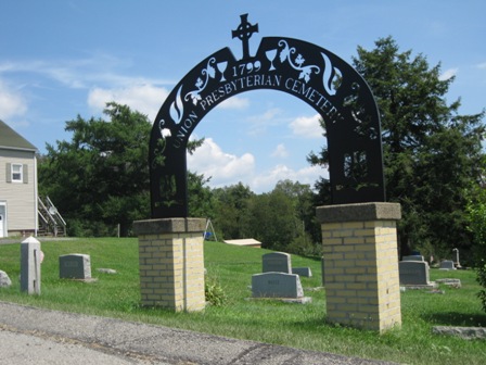
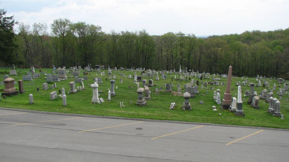
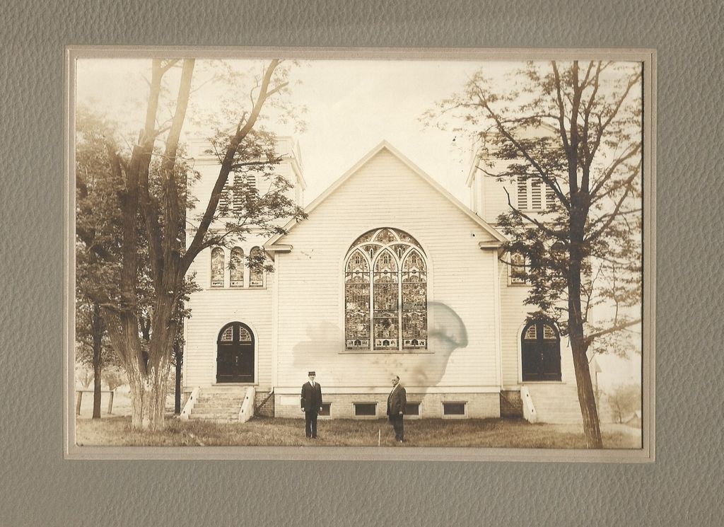
| Description | : | Driving Directions: In West Kittanning, Armstrong County, Pennsylvania, at the intersection of Business U.S. Route 422 and Pennsylvania State Route 268, take Route 268 (Sometimes Called East Brady Road) north and west and drive for a total of 5.55 miles into the village of Cowansville. Almost to Cowansville, at the "Y" in the road where Route 268 and Adrian-Reesedale Road meet, bear left and continue, over the railroad grade, toward Cowansville. Shortly after this "Y" you will arrive at the intersection of Ridge Road and Route 268, in Cowansville. At this point, there will be a Grave monument... Read More |
frequently asked questions (FAQ):
-
Where is Cowansville Cemetery?
Cowansville Cemetery is located at Snyder Drive Cowansville, Armstrong County ,Pennsylvania , 15613USA.
-
Cowansville Cemetery cemetery's updated grave count on graveviews.com?
5 memorials
-
Where are the coordinates of the Cowansville Cemetery?
Latitude: 40.8878860
Longitude: -79.5878143
Nearby Cemetories:
1. Rich Hill United Presbyterian Church Cemetery
Cowansville, Armstrong County, USA
Coordinate: 40.8916750, -79.5890490
2. Fair Cemetery
Cowansville, Armstrong County, USA
Coordinate: 40.8961334, -79.5667419
3. Simpson Cemetery
Cowansville, Armstrong County, USA
Coordinate: 40.9092150, -79.5941450
4. Herron Family Cemetery
Cowansville, Armstrong County, USA
Coordinate: 40.8666170, -79.5751760
5. Crissman Family Cemetery
Adrian, Armstrong County, USA
Coordinate: 40.8877490, -79.5402750
6. Montgomeryville Baptist Church Cemetery
Adrian, Armstrong County, USA
Coordinate: 40.8866615, -79.5376434
7. Saint Mark's Lutheran Church Cemetery
Adrian, Armstrong County, USA
Coordinate: 40.8960152, -79.5370865
8. Bowser Cemetery
Morrows Corner, Armstrong County, USA
Coordinate: 40.9185070, -79.5341170
9. Campbell Family Cemetery
Walkchalk, Armstrong County, USA
Coordinate: 40.8420610, -79.5586110
10. Sherrett Cemetery
Sherrett, Armstrong County, USA
Coordinate: 40.9329185, -79.5553360
11. Fox Cemetery
East Franklin Township, Armstrong County, USA
Coordinate: 40.8388050, -79.5630550
12. Limestone Church of God Cemetery
Adrian, Armstrong County, USA
Coordinate: 40.8968887, -79.5180740
13. Croyle Cemetery
Adrian, Armstrong County, USA
Coordinate: 40.8782997, -79.5108032
14. Toy Family Cemetery
Adrian, Armstrong County, USA
Coordinate: 40.8971130, -79.5082120
15. Brush Valley Cemetery
Adrian, Armstrong County, USA
Coordinate: 40.9044000, -79.5062000
16. West Glade Run Presbyterian Cemetery
Armstrong County, USA
Coordinate: 40.8225000, -79.5857000
17. Old Earley Family Graveyard
Rimer, Armstrong County, USA
Coordinate: 40.9361115, -79.5255585
18. John Cemetery
Frenchs Corners, Armstrong County, USA
Coordinate: 40.9003296, -79.4978409
19. Saint Marys Cemetery
Kittanning, Armstrong County, USA
Coordinate: 40.8347015, -79.5239029
20. Myers-Patton Cemetery
Adrian, Armstrong County, USA
Coordinate: 40.8619270, -79.4972458
21. Kittanning Cemetery
Kittanning, Armstrong County, USA
Coordinate: 40.8231140, -79.5174340
22. Old Kittanning Cemetery (Defunct)
Kittanning, Armstrong County, USA
Coordinate: 40.8183950, -79.5243840
23. Rimer Hill Cemetery
Armstrong County, USA
Coordinate: 40.9398130, -79.4990980
24. Saint Joseph Cemetery
Kittanning, Armstrong County, USA
Coordinate: 40.8266983, -79.5074997