
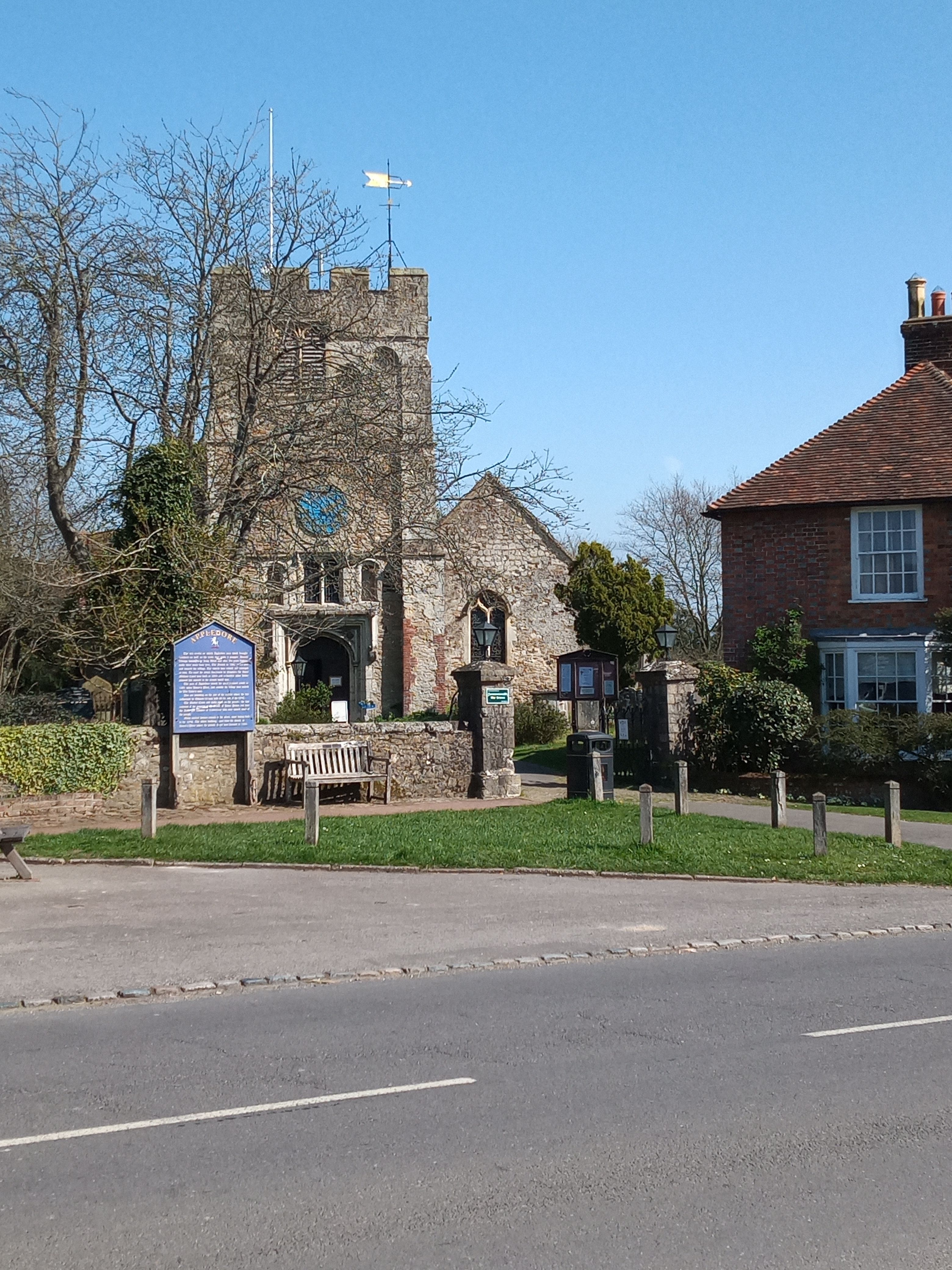
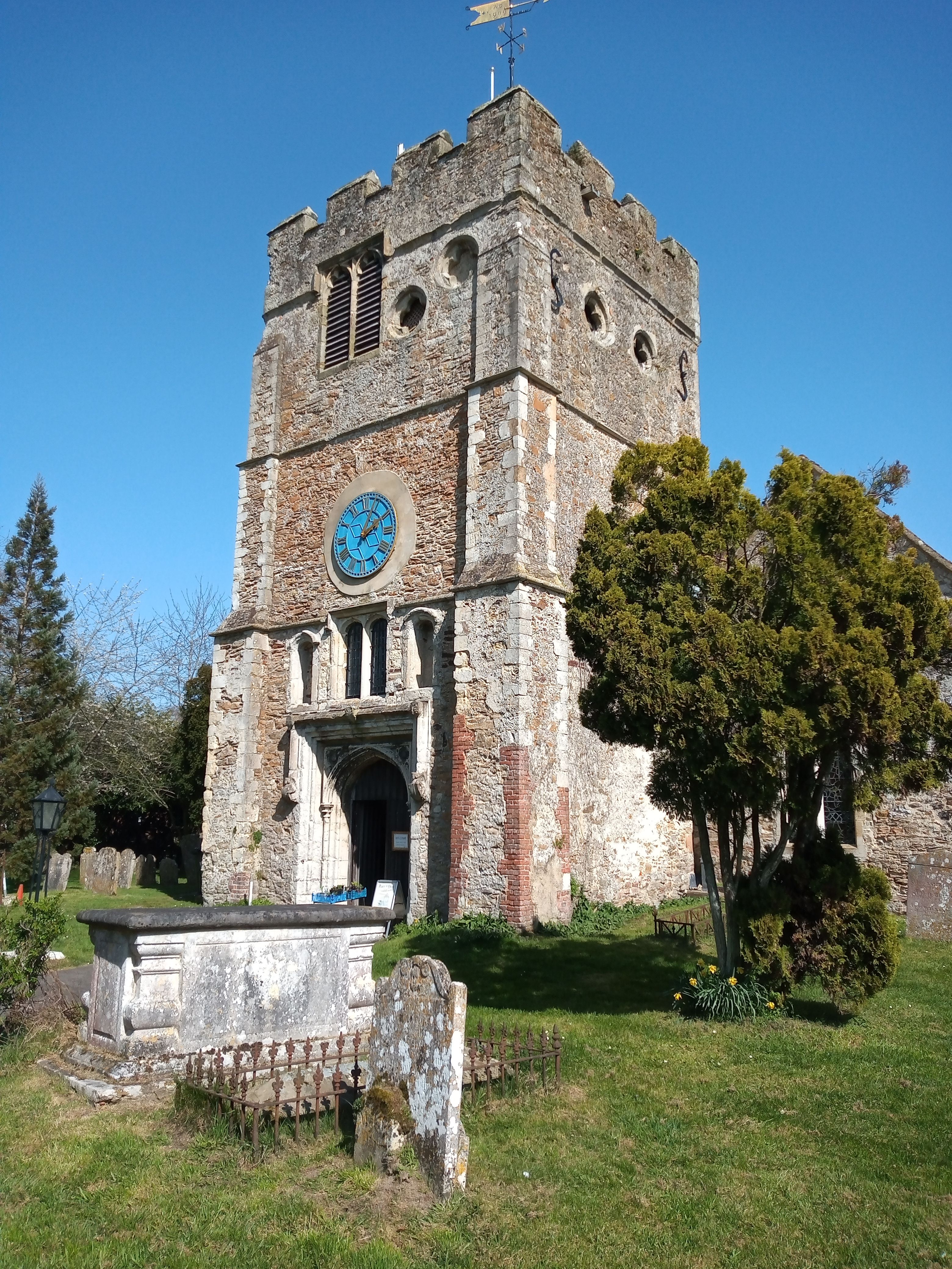
| Memorials | : | 0 |
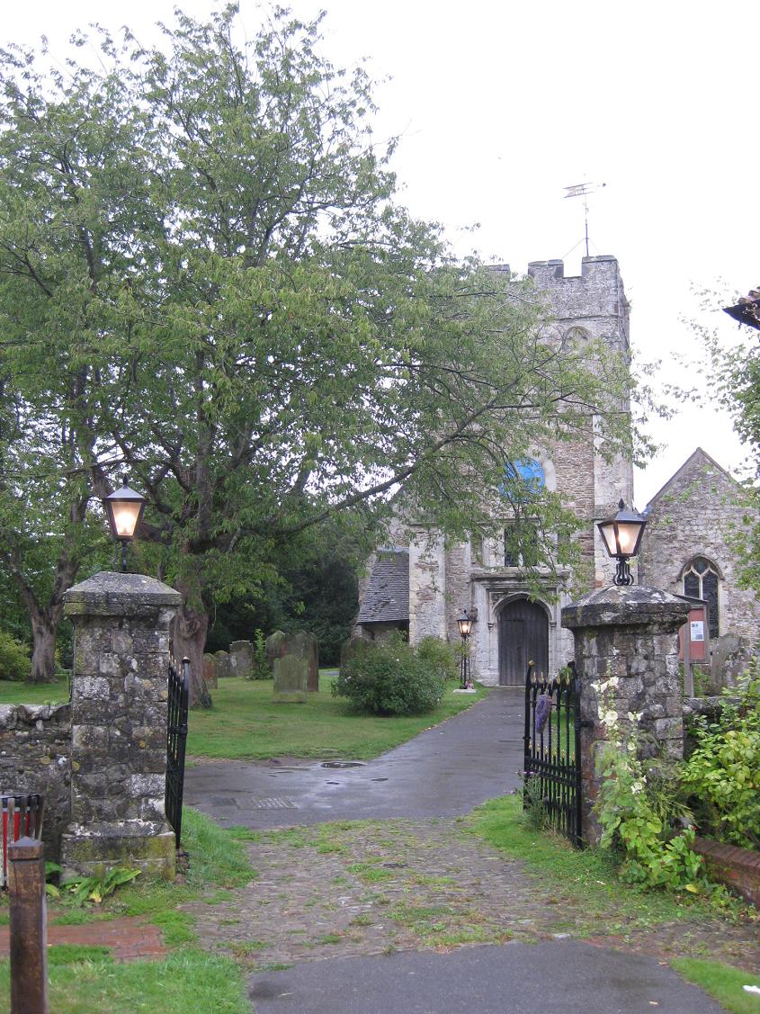
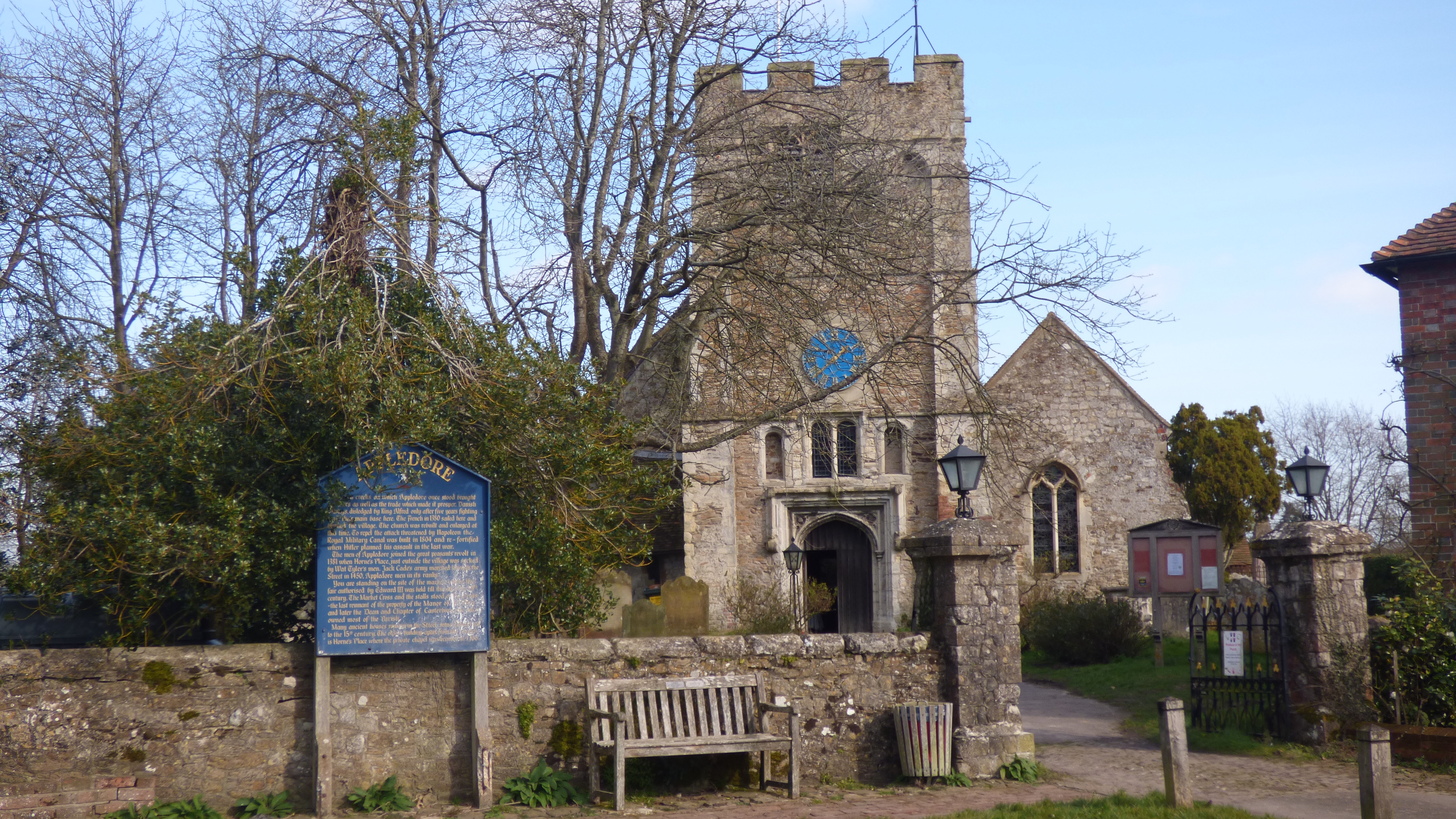
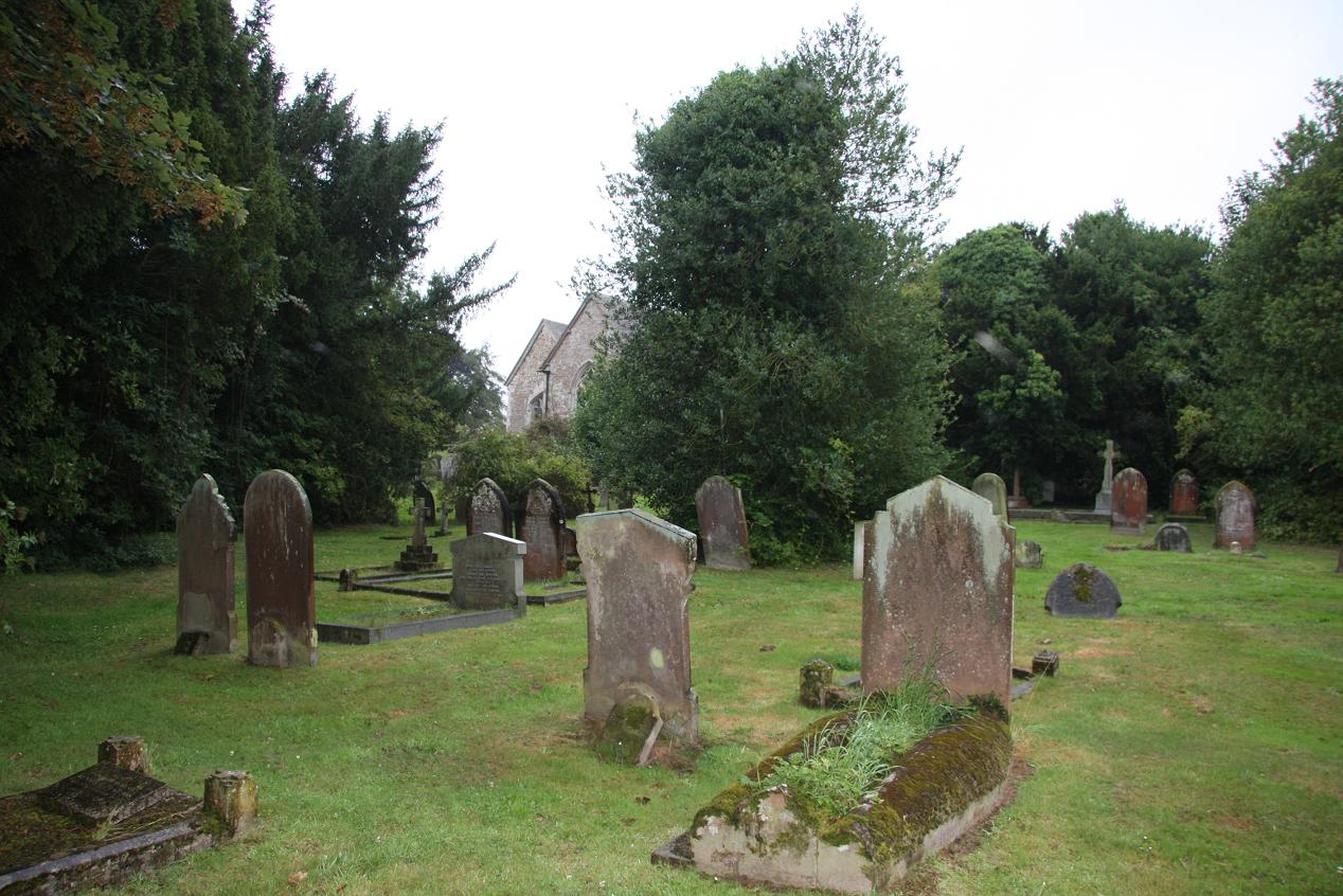
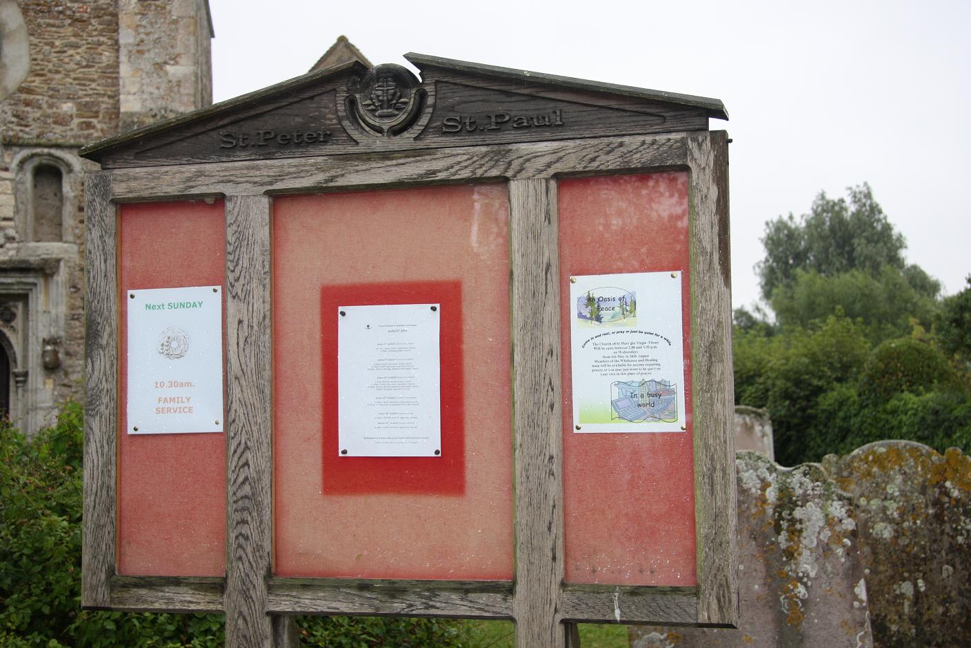
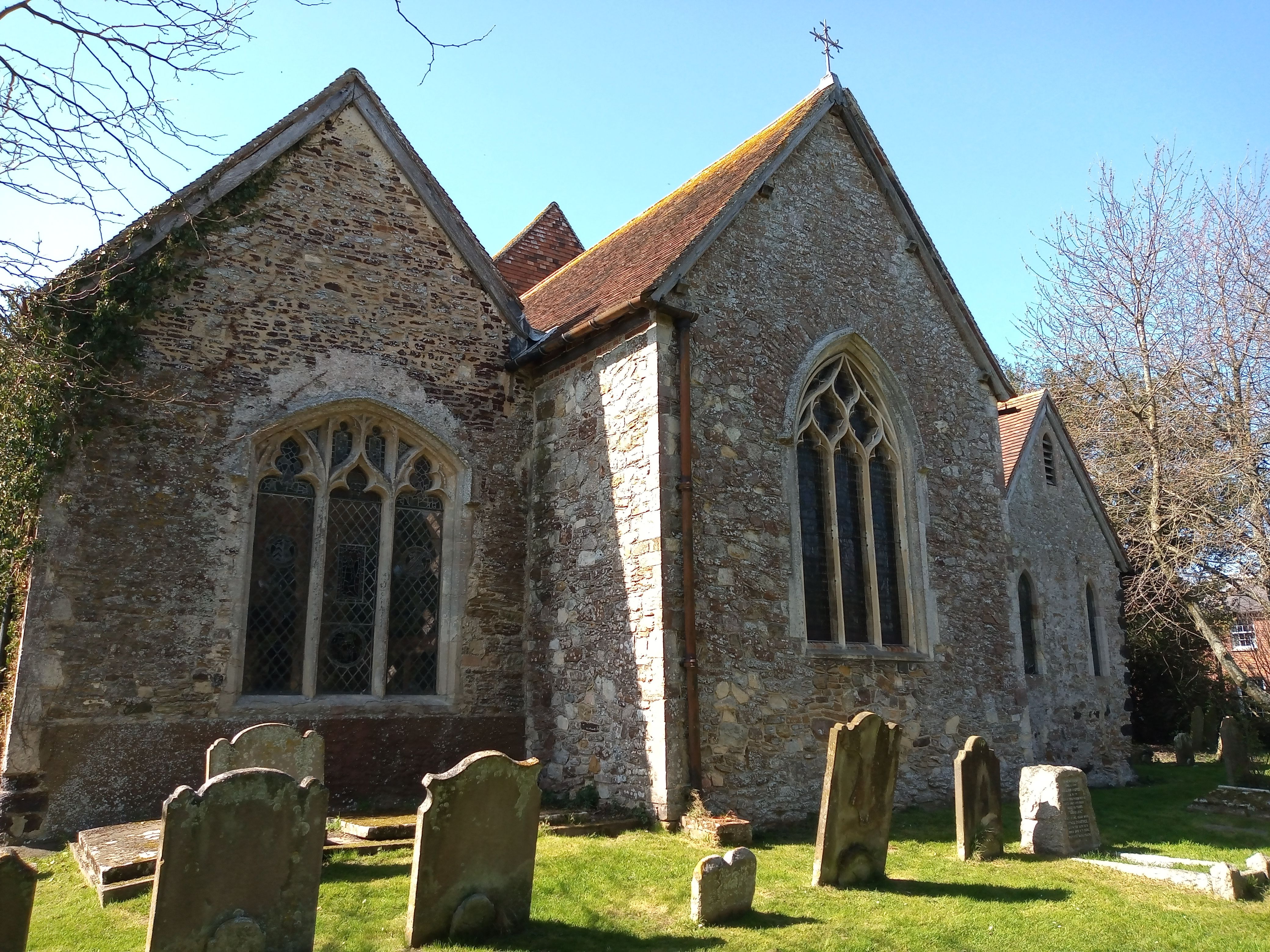
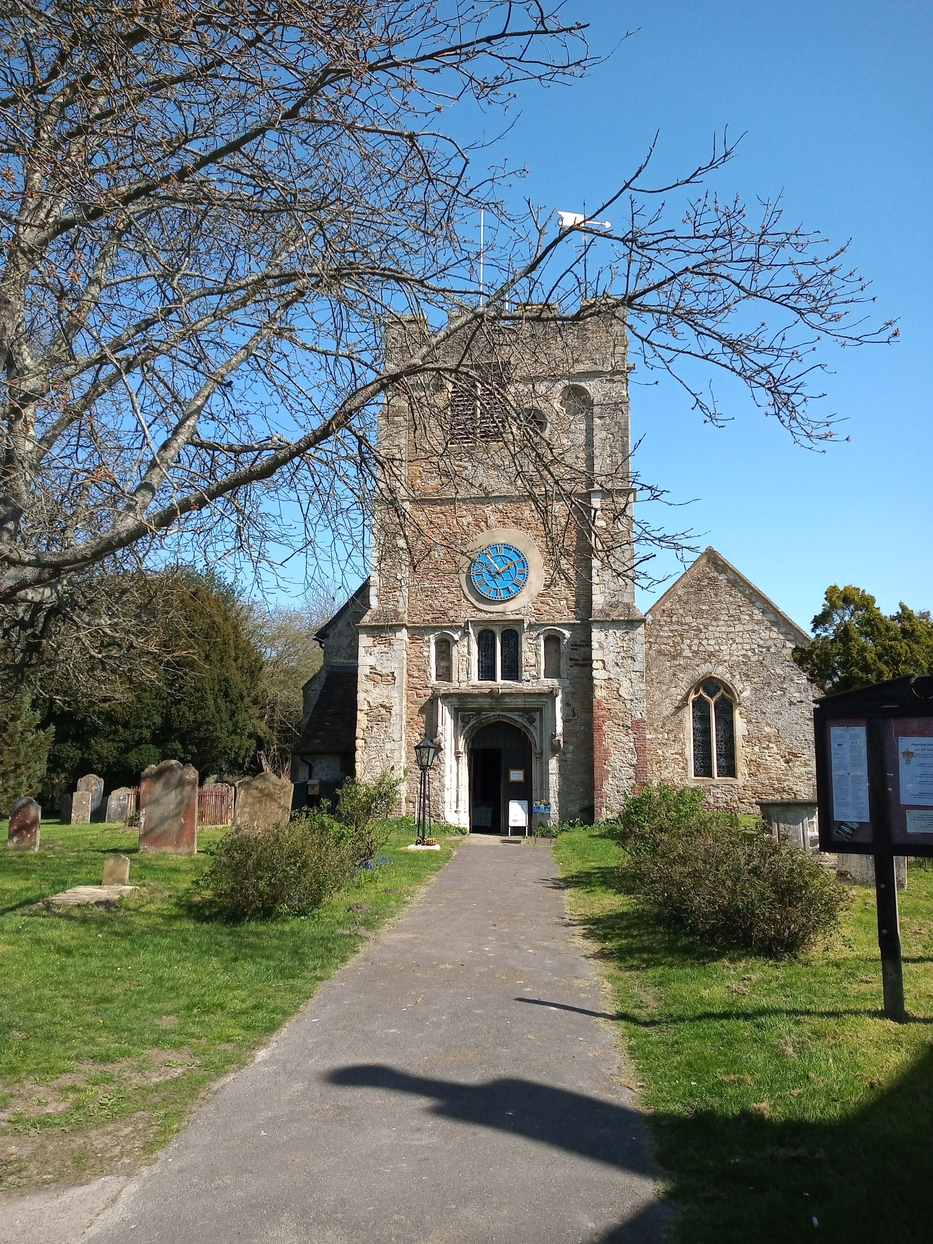
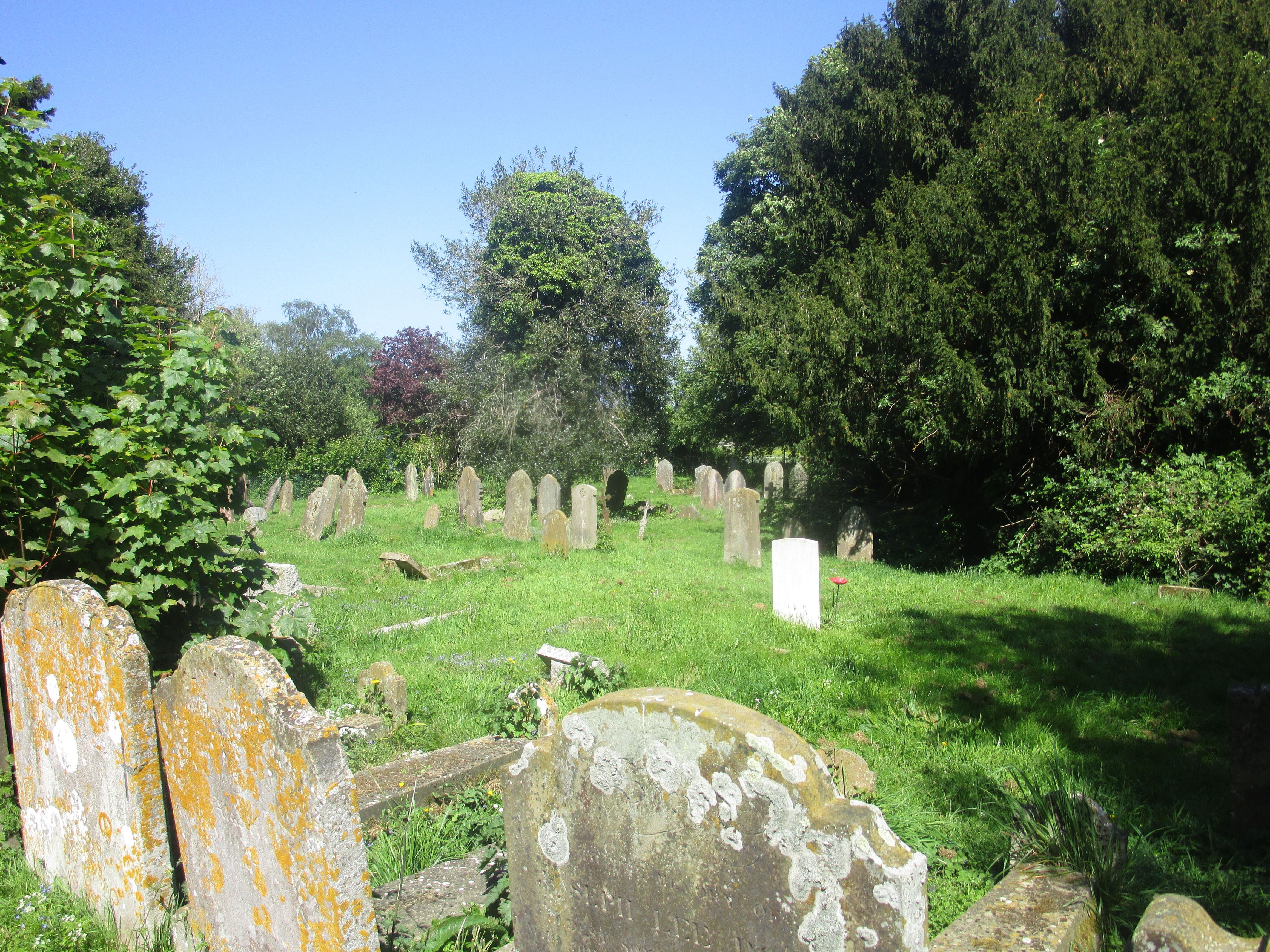
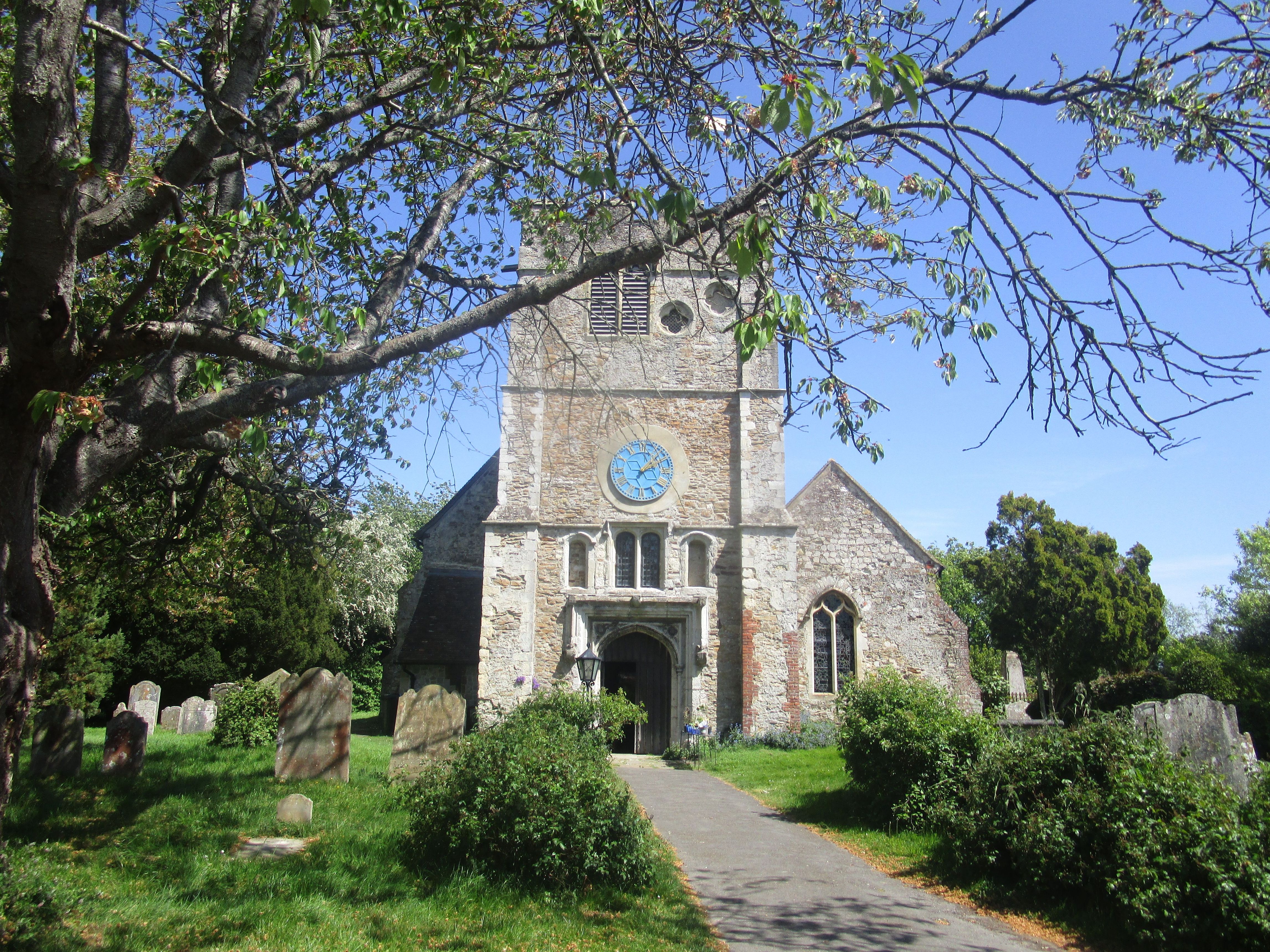
| Location | : | Appledore, Ashford Borough, England |
| Coordinate | : | 51.0295660, 0.7903990 |
frequently asked questions (FAQ):
-
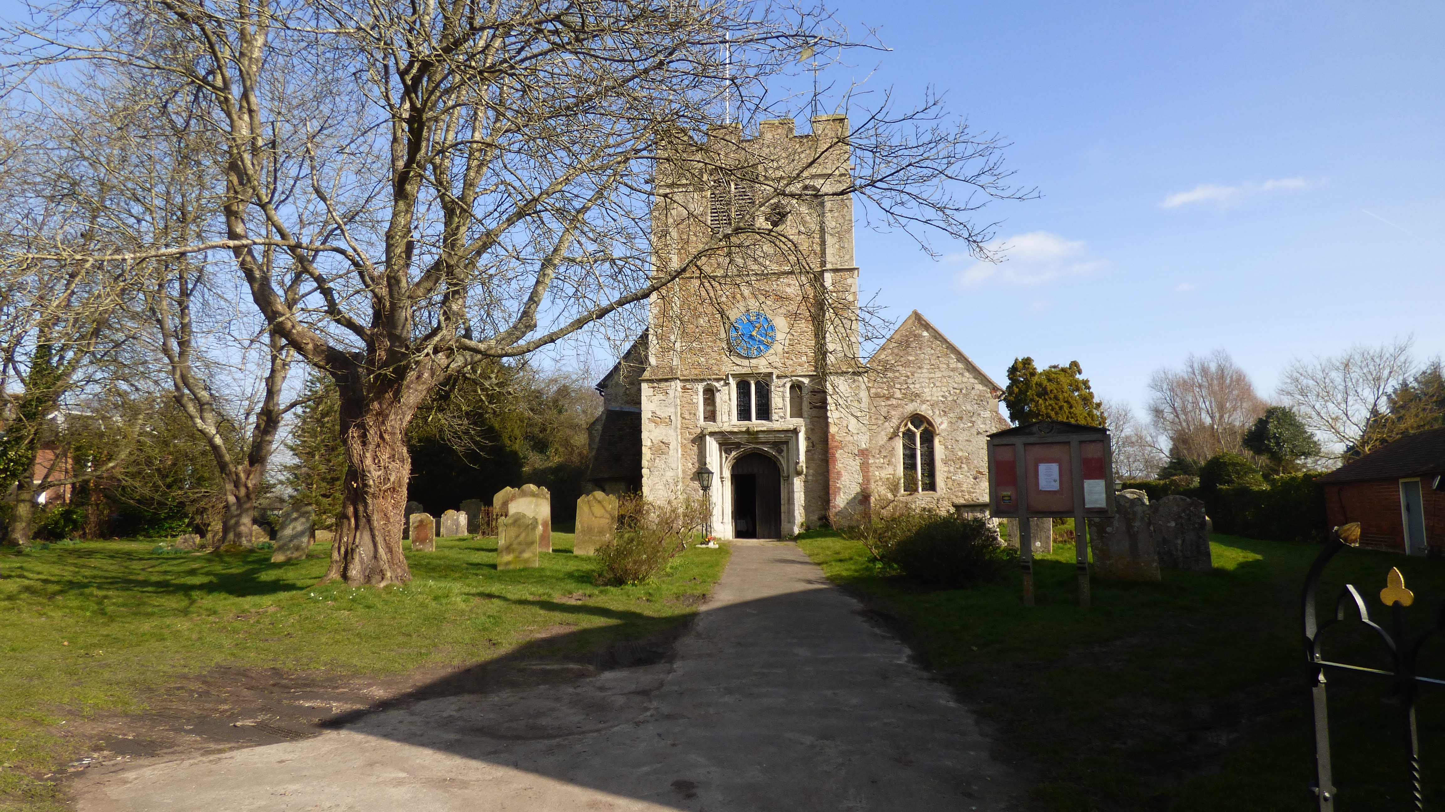
Where is St Peter and St Paul Churchyard?
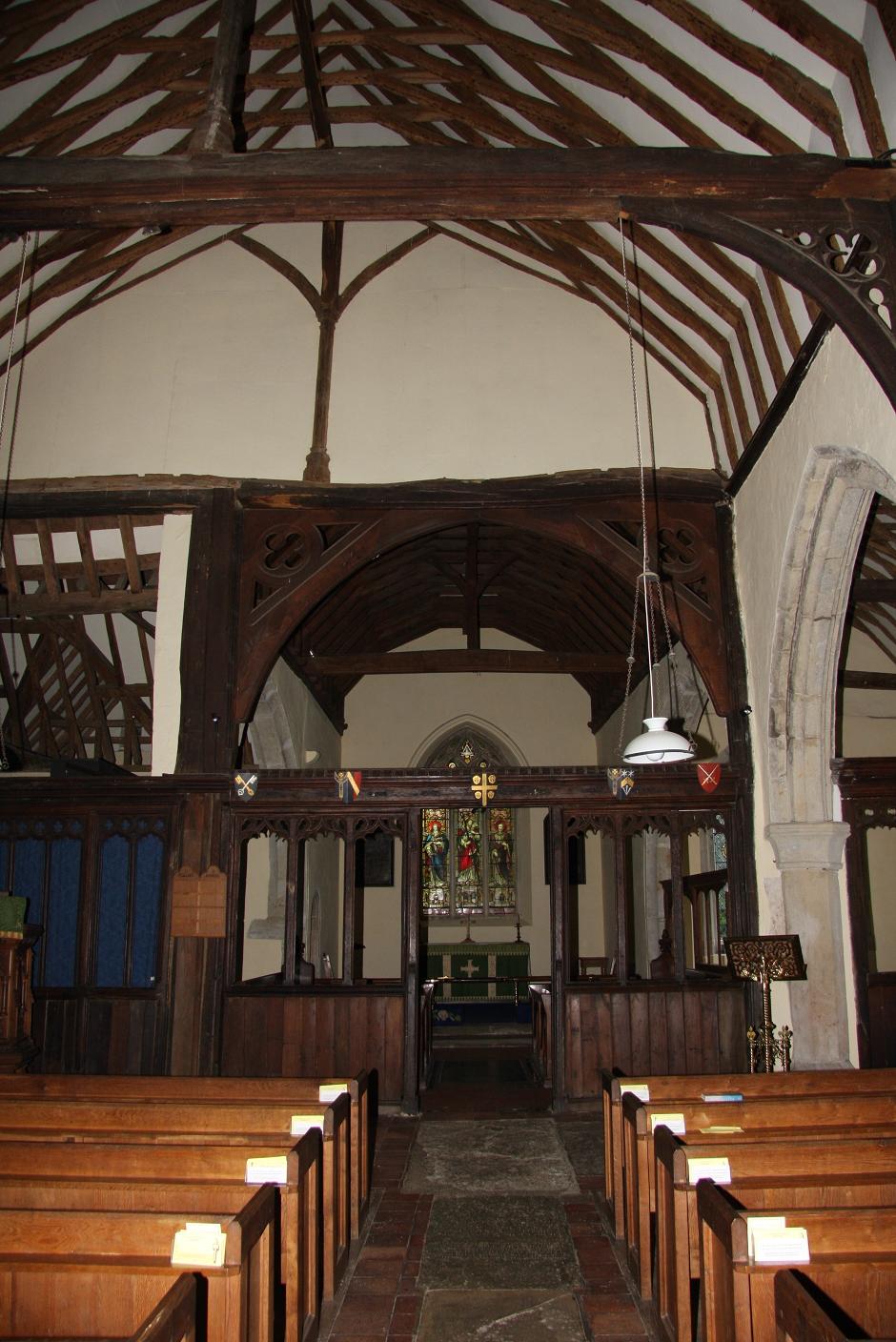
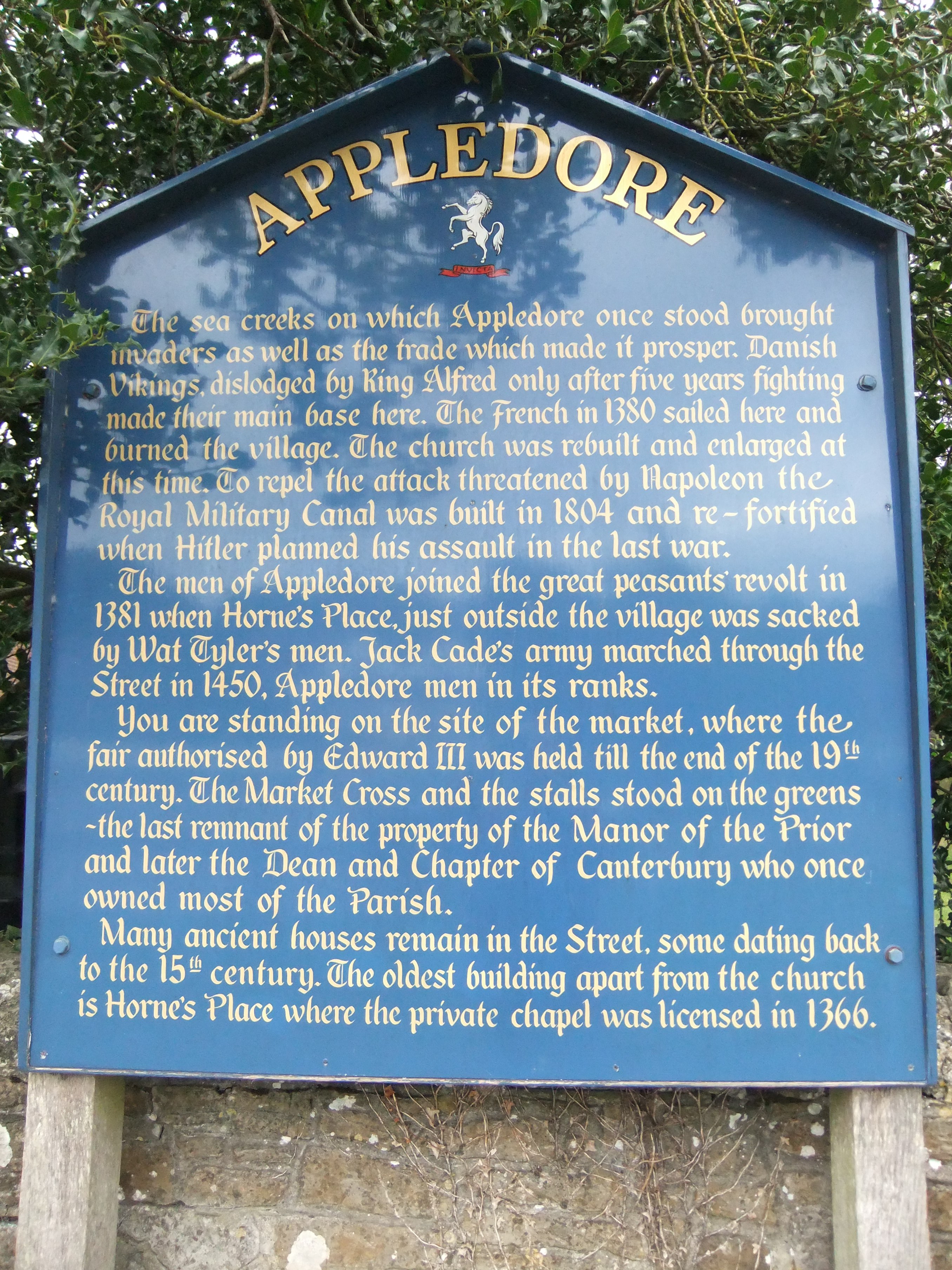
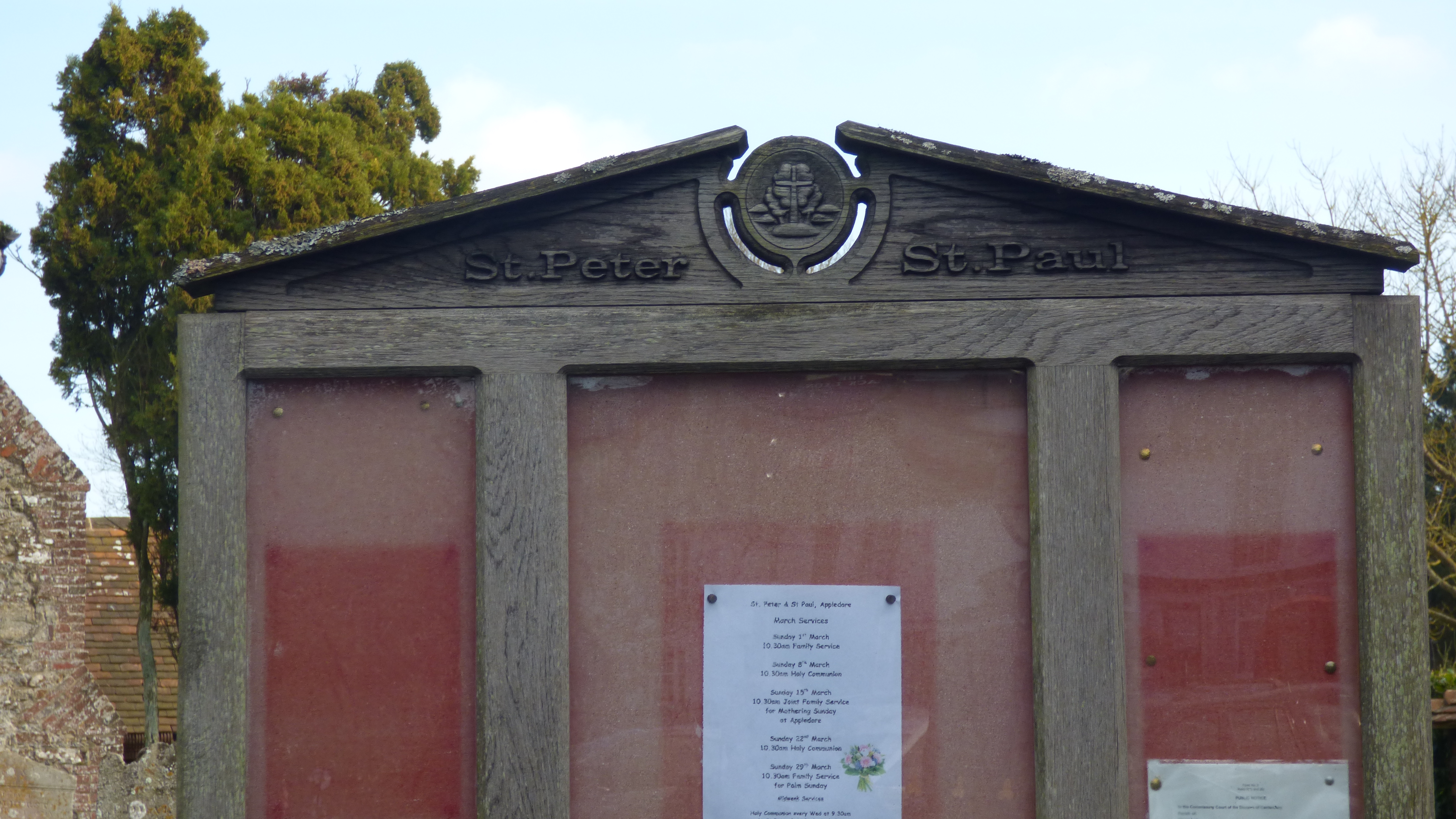
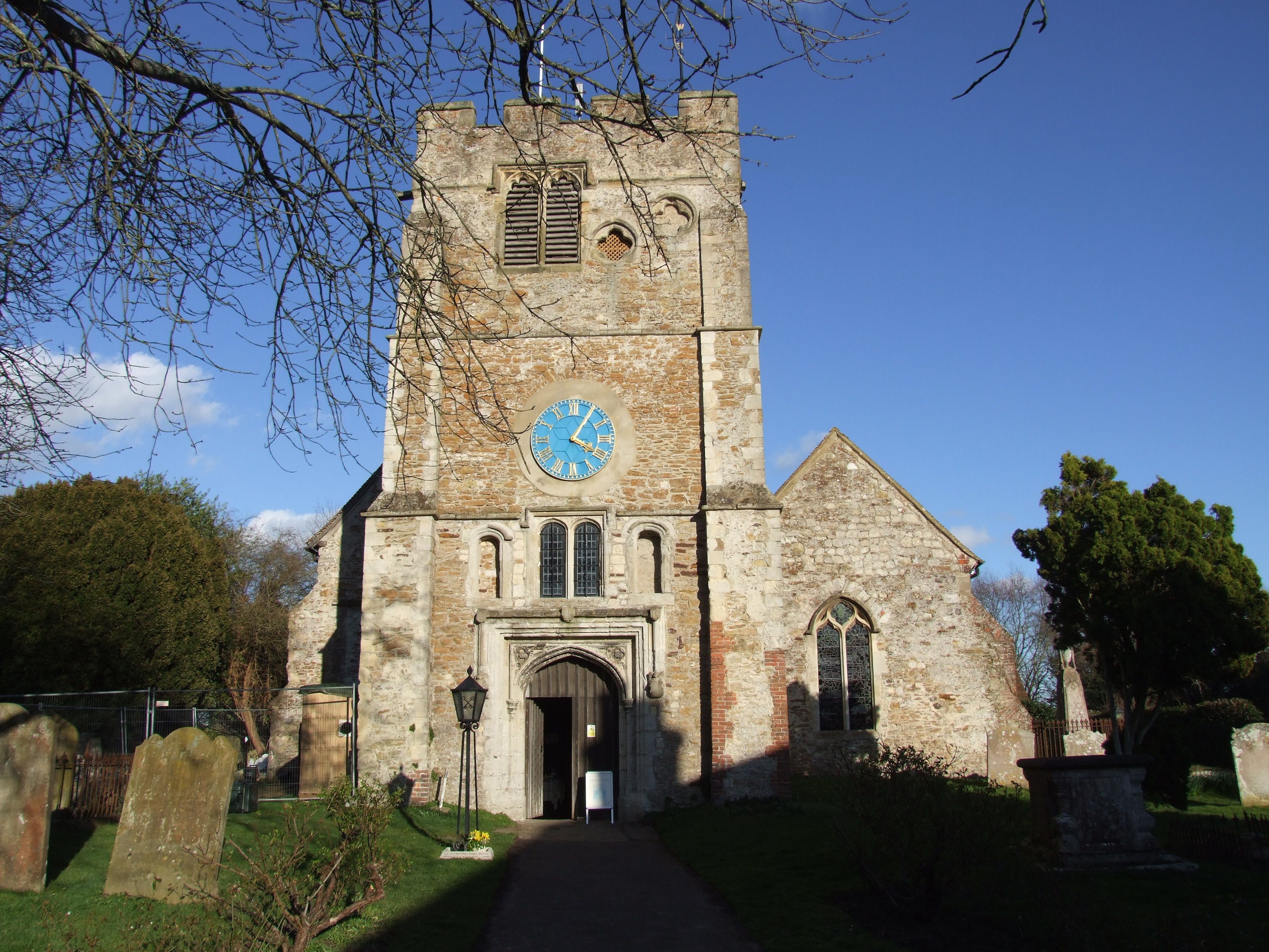
St Peter and St Paul Churchyard is located at Appledore, Ashford Borough ,Kent ,England.
-
St Peter and St Paul Churchyard cemetery's updated grave count on graveviews.com?
0 memorials
-
Where are the coordinates of the St Peter and St Paul Churchyard?
Latitude: 51.0295660
Longitude: 0.7903990
Nearby Cemetories:
1. St Mary the Virgin Churchyard
Stone-cum-Ebony, Ashford Borough, England
Coordinate: 51.0127980, 0.7645592
2. St. Thomas à Becket Cemetery
Fairfield, Shepway District, England
Coordinate: 51.0043210, 0.7993930
3. St Mary's Churchyard
Kenardington, Ashford Borough, England
Coordinate: 51.0546000, 0.8164000
4. St. Dunstan Churchyard
Snargate, Shepway District, England
Coordinate: 51.0227100, 0.8371750
5. Ebony Old Cemetery
Stone-cum-Ebony, Ashford Borough, England
Coordinate: 51.0378926, 0.7422129
6. St. Mary the Virgin Churchyard
Reading Street, Ashford Borough, England
Coordinate: 51.0431442, 0.7400970
7. St. Matthew Churchyard
Warehorne, Ashford Borough, England
Coordinate: 51.0575460, 0.8375700
8. St Augustine Church
Brookland, Shepway District, England
Coordinate: 50.9973880, 0.8337460
9. Brenzett Cemetery
Brenzett, Shepway District, England
Coordinate: 51.0130800, 0.8561300
10. St Enswith's Church
Brenzett, Shepway District, England
Coordinate: 51.0138510, 0.8573170
11. St Augustine Church
Snave, Ashford Borough, England
Coordinate: 51.0334570, 0.8710390
12. All Saints Churchyard
Woodchurch, Ashford Borough, England
Coordinate: 51.0807110, 0.7709980
13. St John the Baptist
Small Hythe, Ashford Borough, England
Coordinate: 51.0396260, 0.6996060
14. Wittersham
Wittersham, Ashford Borough, England
Coordinate: 51.0115600, 0.7016000
15. St Mary the Virgin Churchyard
Orlestone, Ashford Borough, England
Coordinate: 51.0767000, 0.8539000
16. All Saints Churchyard
Iden, Rother District, England
Coordinate: 50.9812930, 0.7275500
17. Iden Burial Ground
Iden, Rother District, England
Coordinate: 50.9813000, 0.7275300
18. St George's Church
Ivychurch, Shepway District, England
Coordinate: 51.0124590, 0.8895980
19. St. Mary Magdalene Churchyard
Ruckinge, Ashford Borough, England
Coordinate: 51.0654060, 0.8883300
20. Unitarian Old Meeting House
Tenterden, Ashford Borough, England
Coordinate: 51.0717468, 0.6906880
21. St. Mildred's Churchyard
Tenterden, Ashford Borough, England
Coordinate: 51.0686264, 0.6870960
22. Ss Peter & Paul Churchyard
Shadoxhurst, Ashford Borough, England
Coordinate: 51.1044850, 0.8144740
23. St. Michael's Churchyard
Playden, Rother District, England
Coordinate: 50.9621200, 0.7327000
24. Station Road Extension
Tenterden, Ashford Borough, England
Coordinate: 51.0686640, 0.6852830