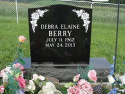
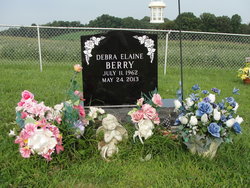
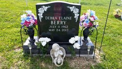
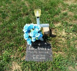
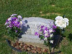
Debra Elaine “Deb” Leggett Berry
| Birth | : | 11 Jul 1962 Dennison, Tuscarawas County, Ohio, USA |
| Death | : | 24 May 2013 Canton, Stark County, Ohio, USA |
| Burial | : | New Perrysville Cemetery, Perrysville, Carroll County, USA |
| Coordinate | : | 40.4569016, -81.1016998 |
| Description | : | Published in The Times Reporter on May 26, 2013 Obituary Debra Elaine Berry age 50 of Scio passed away May 24, 2013 at Aultman Hospital, Canton, Ohio. She was born July 11, 1962 in Twin City Hospital in Dennison, Ohio to Donald Eugene Leggett I, and Donna Jean (Burton) Leggett. She worked for Harcatus Program in Carrollton. Deb was a graduate of Carrollton High School and Buckeye Career Center. She was a graduate of Raedel Business College majoring in computer and accounting. Debra loved sports, horses and her dog, Rikki and was active in Carrollton Schools Sports. She liked romance novels. Debra is survived... Read More |
frequently asked questions (FAQ):
-
Where is Debra Elaine “Deb” Leggett Berry's memorial?
Debra Elaine “Deb” Leggett Berry's memorial is located at: New Perrysville Cemetery, Perrysville, Carroll County, USA.
-
When did Debra Elaine “Deb” Leggett Berry death?
Debra Elaine “Deb” Leggett Berry death on 24 May 2013 in Canton, Stark County, Ohio, USA
-
Where are the coordinates of the Debra Elaine “Deb” Leggett Berry's memorial?
Latitude: 40.4569016
Longitude: -81.1016998
Family Members:
Parent
Flowers:
Nearby Cemetories:
1. New Perrysville Cemetery
Perrysville, Carroll County, USA
Coordinate: 40.4569016, -81.1016998
2. Hagey Family Cemetery
Perrysville, Carroll County, USA
Coordinate: 40.4525980, -81.0996160
3. Perrysville United Methodist Cemetery
Perrysville, Carroll County, USA
Coordinate: 40.4625510, -81.0973610
4. Perrysville Methodist Episcopal Church Cemetery
Perrysville, Carroll County, USA
Coordinate: 40.4655991, -81.0982971
5. Mount Olive Cemetery
Carroll County, USA
Coordinate: 40.4488983, -81.1382980
6. Arabia Cemetery
Perrysville, Carroll County, USA
Coordinate: 40.4803009, -81.0678024
7. Mount Tabor Cemetery
Carroll County, USA
Coordinate: 40.4817009, -81.1483002
8. Allen Memorial Cemetery
Carroll County, USA
Coordinate: 40.4364014, -81.0511017
9. Wood Cemetery
Scio, Harrison County, USA
Coordinate: 40.4193500, -81.0707690
10. Palermo Cemetery
Carroll County, USA
Coordinate: 40.4894444, -81.1522220
11. Swinehart Cemetery
Carroll County, USA
Coordinate: 40.4327000, -81.1642170
12. Conotton Cemetery
Harrison County, USA
Coordinate: 40.4103012, -81.1489029
13. Methodist Episcopal Church Cemetery
Scio, Harrison County, USA
Coordinate: 40.3970800, -81.0864600
14. Grandview Cemetery
Scio, Harrison County, USA
Coordinate: 40.3903008, -81.0978012
15. Mount Pleasant Cemetery
Carrollton, Carroll County, USA
Coordinate: 40.5238991, -81.1003036
16. New Hagerstown Cemetery
New Hagerstown, Carroll County, USA
Coordinate: 40.4446983, -81.1893997
17. Abel Cemetery
Carroll County, USA
Coordinate: 40.4578018, -81.0113983
18. Longview Cemetery
Bowerston, Harrison County, USA
Coordinate: 40.4324989, -81.1872025
19. Bethel Cemetery
Leavittsville, Carroll County, USA
Coordinate: 40.4921989, -81.1841965
20. United Brethren Cemetery
Harrison County, USA
Coordinate: 40.4043999, -81.0353012
21. New Rumley Methodist Cemetery
New Rumley, Harrison County, USA
Coordinate: 40.4028015, -81.0346985
22. Kilgore Cemetery
Kilgore, Carroll County, USA
Coordinate: 40.4632988, -81.0014038
23. Kilgore Presbyterian Cemetery
Carroll County, USA
Coordinate: 40.4603004, -81.0002975
24. Evangelical Lutheran Cemetery
New Rumley, Harrison County, USA
Coordinate: 40.4019012, -81.0271988

