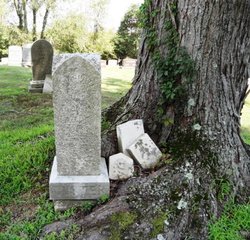
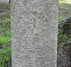
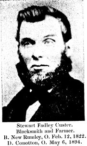
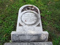
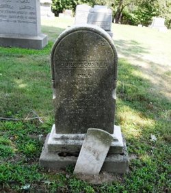
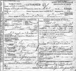
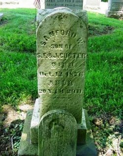
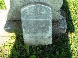
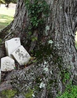
George Foster Custer
| Birth | : | 28 Jan 1848 Perrysville, Carroll County, Ohio, USA |
| Death | : | 29 Nov 1881 Perrysville, Carroll County, Ohio, USA |
| Burial | : | St. Mary's Churchyard, Greasley, Broxtowe Borough, England |
| Coordinate | : | 53.0201100, -1.2720500 |
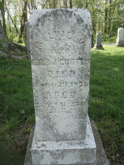
| Description | : | He married Delaura Saltsgiver 18 Apr 1872, Delaura died 15 Oct 1915 in Carrollton, Carroll County, Ohio. Their daughter Melvia Luvina Custer born 11 Mar 1875, Perry Township, Carroll County, Ohio married Otis Haven Kirby (Find A Grave Memorial 101062104) 21 Sep 1894 in Carroll County, Ohio and died 11 Mar 1899, Perry Township, Carroll County, Ohio. Otis and Mevia had Grace Ona Kirby Muze (1895-1990), Find a Grave Memorial 22300217. Find A Grave contributor 48054957 provided the following: First Name: George Middle Name: Foster Birth Date: Jan. 28, 1848 Birth Place: Perrysville (Carroll County),... Read More |
frequently asked questions (FAQ):
-
Where is George Foster Custer's memorial?
George Foster Custer's memorial is located at: St. Mary's Churchyard, Greasley, Broxtowe Borough, England.
-
When did George Foster Custer death?
George Foster Custer death on 29 Nov 1881 in Perrysville, Carroll County, Ohio, USA
-
Where are the coordinates of the George Foster Custer's memorial?
Latitude: 53.0201100
Longitude: -1.2720500
Family Members:
Parent
Spouse
Siblings
Children
Flowers:
Nearby Cemetories:
1. St. Mary's Churchyard
Greasley, Broxtowe Borough, England
Coordinate: 53.0201100, -1.2720500
2. St. Mary's Churchyard
Eastwood, Broxtowe Borough, England
Coordinate: 53.0166227, -1.3084371
3. Eastwood Cemetery
Eastwood, Broxtowe Borough, England
Coordinate: 53.0115814, -1.3073300
4. St John's Church, Aldercar
Amber Valley Borough, England
Coordinate: 53.0266800, -1.3360000
5. St. Mary Magdalene Churchyard
Hucknall, Ashfield District, England
Coordinate: 53.0390630, -1.2058330
6. Northern Cemetery
Bulwell, Nottingham Unitary Authority, England
Coordinate: 52.9979840, -1.2077900
7. Hucknall Cemetery
Hucknall, Ashfield District, England
Coordinate: 53.0293427, -1.1988190
8. Marlpool Municipal Cemetery
Heanor, Amber Valley Borough, England
Coordinate: 53.0082110, -1.3490550
9. All Saints Churchyard
Annesley, Ashfield District, England
Coordinate: 53.0662300, -1.2501190
10. All Saints Church
Strelley, Broxtowe Borough, England
Coordinate: 52.9737900, -1.2470340
11. Park Cemetery
Ilkeston, Erewash Borough, England
Coordinate: 52.9714000, -1.3006350
12. Newstead Hucknall Road Cemetery
Newstead, Gedling Borough, England
Coordinate: 53.0651470, -1.2298350
13. St. Mary's Churchyard
Jacksdale, Ashfield District, England
Coordinate: 53.0577660, -1.3326300
14. St. Mary the Virgin Churchyard
Newstead, Gedling Borough, England
Coordinate: 53.0688200, -1.2273000
15. Ilkeston Stanton Road
Ilkeston, Erewash Borough, England
Coordinate: 52.9645800, -1.3077120
16. Annesley and Felley
Annesley, Ashfield District, England
Coordinate: 53.0771910, -1.2407140
17. Holy Trinity Churchyard
Mapperley, Amber Valley Borough, England
Coordinate: 52.9818800, -1.3536800
18. St. James Churchyard
Papplewick, Gedling Borough, England
Coordinate: 53.0582060, -1.1872990
19. Christ Church Churchyard
Ironville, Amber Valley Borough, England
Coordinate: 53.0628250, -1.3508600
20. Crosshill Cemetery
Codnor, Amber Valley Borough, England
Coordinate: 53.0329710, -1.3764590
21. St. James' Churchyard
Codnor, Amber Valley Borough, England
Coordinate: 53.0343350, -1.3772720
22. All Saints
Kirk Hallam, Erewash Borough, England
Coordinate: 52.9602950, -1.3188150
23. St. Helen's Churchyard
Trowell, Broxtowe Borough, England
Coordinate: 52.9528120, -1.2815590
24. St. Leodegarius Churchyard
Old Basford, Nottingham Unitary Authority, England
Coordinate: 52.9794240, -1.1778650

