
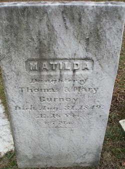
Matilda Burney
| Birth | : | 1832 Webster, Worcester County, Massachusetts, USA |
| Death | : | 31 Aug 1849 |
| Burial | : | St. Margaret Churchyard, Warnham, Horsham District, England |
| Coordinate | : | 51.0903160, -0.3462410 |
frequently asked questions (FAQ):
-
Where is Matilda Burney's memorial?
Matilda Burney's memorial is located at: St. Margaret Churchyard, Warnham, Horsham District, England.
-
When did Matilda Burney death?
Matilda Burney death on 31 Aug 1849 in
-
Where are the coordinates of the Matilda Burney's memorial?
Latitude: 51.0903160
Longitude: -0.3462410
Family Members:
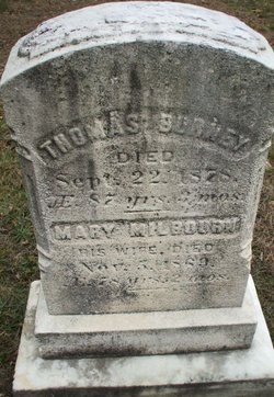
Parent

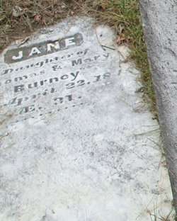
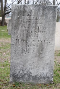
Siblings

Flowers:


Nearby Cemetories:
1. St. Margaret Churchyard
Warnham, Horsham District, England
Coordinate: 51.0903160, -0.3462410
2. Hills Cemetery
Horsham, Horsham District, England
Coordinate: 51.0645800, -0.3463350
3. St Mary the Virgin Churchyard
Horsham, Horsham District, England
Coordinate: 51.0597360, -0.3309600
4. Denne Road Cemetery
Horsham, Horsham District, England
Coordinate: 51.0596630, -0.3286750
5. Roffey Cemetery
Horsham, Horsham District, England
Coordinate: 51.0769320, -0.2930890
6. St Peter Churchyard
Slinfold, Horsham District, England
Coordinate: 51.0725490, -0.4057220
7. Okewood St John the Baptist Churchyard
Ewhurst, Waverley Borough, England
Coordinate: 51.1303800, -0.3895000
8. St John the Baptist Churchyard
Oakwoodhill, Mole Valley District, England
Coordinate: 51.1304600, -0.3895700
9. St Nicolas Churchyard
Itchingfield, Horsham District, England
Coordinate: 51.0485300, -0.3867900
10. St John The Evangelist Churchyard
Lower Beeding, Horsham District, England
Coordinate: 51.0552500, -0.2889280
11. Saint Mary Magdalene Churchyard
Rusper, Horsham District, England
Coordinate: 51.1227750, -0.2789080
12. Pleystowe in Capel Friends Grounds
Capel, Mole Valley District, England
Coordinate: 51.1411900, -0.3161300
13. Ockley Cemetery
Ockley, Mole Valley District, England
Coordinate: 51.1473610, -0.3654400
14. Holy Trinity Churchyard
Rudgwick, Horsham District, England
Coordinate: 51.0973900, -0.4442800
15. Capel Friends Burial Ground #2
Capel, Mole Valley District, England
Coordinate: 51.1513970, -0.3219210
16. St Margaret Churchyard
Ockley, Mole Valley District, England
Coordinate: 51.1534880, -0.3473790
17. St Saviour Churchyard
Colgate, Horsham District, England
Coordinate: 51.0817080, -0.2444000
18. Holy Innocents Churchyard
Southwater, Horsham District, England
Coordinate: 51.0252410, -0.3584748
19. St. John the Baptist Churchyard
Capel, Mole Valley District, England
Coordinate: 51.1539730, -0.3201980
20. Southwater Parish Cemetery
Southwater, Horsham District, England
Coordinate: 51.0245167, -0.3574486
21. The Church of the Holy Innocents Cemetery
Southwater, Horsham District, England
Coordinate: 51.0244290, -0.3576390
22. St Andrew Churchyard
Nuthurst, Horsham District, England
Coordinate: 51.0222790, -0.3010080
23. Holy Trinity Churchyard
Lower Beeding, Horsham District, England
Coordinate: 51.0331850, -0.2610280
24. St Peter Churchyard
Newdigate, Mole Valley District, England
Coordinate: 51.1652200, -0.2884860