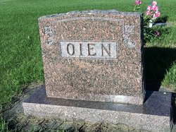
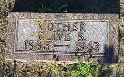
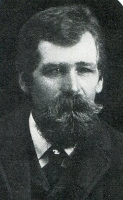
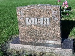
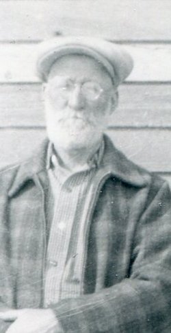
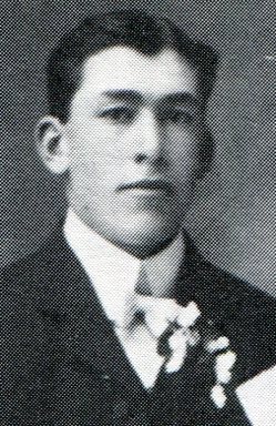
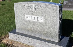
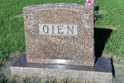
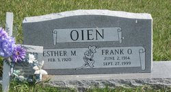
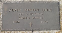
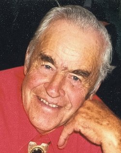
Olive S. Gilbertson Oien
| Birth | : | 3 Sep 1886 Brooten, Stearns County, Minnesota, USA |
| Death | : | Apr 1943 Binford, Griggs County, North Dakota, USA |
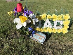
| Burial | : | Bampton Cemetery, Bampton, West Oxfordshire District, England |
| Coordinate | : | 51.7296400, -1.5490200 |
| Inscription | : | Mother |
| Description | : | MRS. FRED OIEN DIED THURSDAY Funeral Services for Binford Lady Held Tuesday at Bethany Church. Funeral services were held at Bethany church, Binford, Tuesday of this week for Mrs. Fred Oien, 56, long time resident of the Binford community, whose death occurred at her home in that village last Thursday after an illness extending over a period of two years. Rev. J. Loland officiated at the services assisted by Rev. Ingval Narum of Grand Forks, Rev. Dahle of McVille and Rev. Halling of Binford. Mrs. Oien was born in Brooten, Minn., September 3, 1886, the daughter of Mr. and Mrs. Gabriel Gilbertson.... Read More |
frequently asked questions (FAQ):
-
Where is Olive S. Gilbertson Oien's memorial?
Olive S. Gilbertson Oien's memorial is located at: Bampton Cemetery, Bampton, West Oxfordshire District, England.
-
When did Olive S. Gilbertson Oien death?
Olive S. Gilbertson Oien death on Apr 1943 in Binford, Griggs County, North Dakota, USA
-
Where are the coordinates of the Olive S. Gilbertson Oien's memorial?
Latitude: 51.7296400
Longitude: -1.5490200
Family Members:
Parent
Spouse
Siblings
Children
Flowers:
Nearby Cemetories:
1. Bampton Cemetery
Bampton, West Oxfordshire District, England
Coordinate: 51.7296400, -1.5490200
2. St. Mary the Virgin Churchyard
Bampton, West Oxfordshire District, England
Coordinate: 51.7278250, -1.5487270
3. Saint Mary's Churchyard
Black Bourton, West Oxfordshire District, England
Coordinate: 51.7360520, -1.5864600
4. St. James the Great Churchyard
Aston, West Oxfordshire District, England
Coordinate: 51.7252620, -1.5059510
5. St. Stephen's Churchyard
Clanfield, West Oxfordshire District, England
Coordinate: 51.7174060, -1.5911740
6. Cote Baptist Chapel
Cote, West Oxfordshire District, England
Coordinate: 51.7254430, -1.4929510
7. St. Peter's Churchyard
Alvescot, West Oxfordshire District, England
Coordinate: 51.7392910, -1.6046704
8. St. Britius Churchyard Extension
Brize Norton, West Oxfordshire District, England
Coordinate: 51.7660800, -1.5662600
9. St. Britius Churchyard
Brize Norton, West Oxfordshire District, England
Coordinate: 51.7662000, -1.5667000
10. St John The Baptist
Curbridge, West Oxfordshire District, England
Coordinate: 51.7764570, -1.5203140
11. St Georges Churchyard
Kencot, West Oxfordshire District, England
Coordinate: 51.7407160, -1.6330900
12. St Mary Churchyard
Buckland, Vale of White Horse District, England
Coordinate: 51.6819730, -1.5060150
13. St Marys Churchyard
Shifford, West Oxfordshire District, England
Coordinate: 51.7151440, -1.4631340
14. St. Bartholomew Churchyard
Ducklington, West Oxfordshire District, England
Coordinate: 51.7658689, -1.4810340
15. St George Roman Catholic Churchyard
Buckland, Vale of White Horse District, England
Coordinate: 51.6804300, -1.5068720
16. Saint Matthew's Churchyard
Langford, West Oxfordshire District, England
Coordinate: 51.7209390, -1.6405280
17. Littleworth Cemetery
Littleworth, Vale of White Horse District, England
Coordinate: 51.6722500, -1.5492500
18. Holy Trinity Church
Witney, West Oxfordshire District, England
Coordinate: 51.7726500, -1.6142050
19. Holy Rood Churchyard
Shilton, West Oxfordshire District, England
Coordinate: 51.7726519, -1.6142058
20. Church of Saint Michael and All Angels
Eaton Hastings, Vale of White Horse District, England
Coordinate: 51.6852000, -1.6212000
21. Tower Hill Cemetery
Witney, West Oxfordshire District, England
Coordinate: 51.7852950, -1.4999610
22. St. Mary's Churchyard
Witney, West Oxfordshire District, England
Coordinate: 51.7807116, -1.4850508
23. St Peter's Churchyard
Filkins, West Oxfordshire District, England
Coordinate: 51.7358700, -1.6578250
24. St Margaret of Antioch Churchyard Extension
Hinton Waldrist, Vale of White Horse District, England
Coordinate: 51.6911016, -1.4589705

