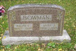
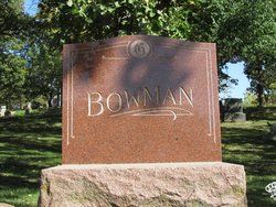
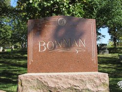
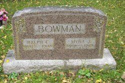
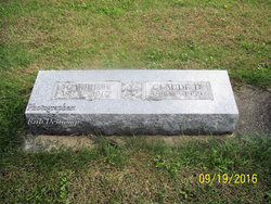
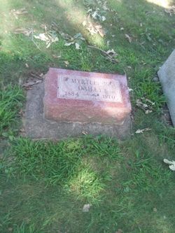
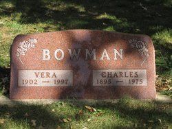
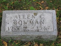
Ralph Clifford Bowman
| Birth | : | 3 Feb 1891 Greene County, Iowa, USA |
| Death | : | 29 Jul 1948 Willow Township, Greene County, Iowa, USA |
| Burial | : | Ridge Cemetery, Middle Point, Van Wert County, USA |
| Coordinate | : | 40.8781013, -84.4692001 |
| Plot | : | Section E |
| Description | : | Ralph Clifford Bowman was the son of George Bowman and Hattie Lucinda Hall. He married Almyra Jane McLaughlin. Coon Rapids Enterprise August 6, 1948 Page 1 Ralph Clifford Bowman, 57, well known Coon Rapids retired farmer, suffered fatal injuries when his car overturned on Highway 141 about three and one half miles east of town Thursday evening of last week. According to reports, Ralph Bowman was on his way to Bayard about six o'clock in the evening when his car, a 1948 Chevrolet, went out of control just west of Willow creek, left the road, overturned and... Read More |
frequently asked questions (FAQ):
-
Where is Ralph Clifford Bowman's memorial?
Ralph Clifford Bowman's memorial is located at: Ridge Cemetery, Middle Point, Van Wert County, USA.
-
When did Ralph Clifford Bowman death?
Ralph Clifford Bowman death on 29 Jul 1948 in Willow Township, Greene County, Iowa, USA
-
Where are the coordinates of the Ralph Clifford Bowman's memorial?
Latitude: 40.8781013
Longitude: -84.4692001
Family Members:
Parent
Spouse
Siblings
Children
Flowers:
Nearby Cemetories:
1. Ridge Cemetery
Middle Point, Van Wert County, USA
Coordinate: 40.8781013, -84.4692001
2. King Cemetery
Middle Point, Van Wert County, USA
Coordinate: 40.8664017, -84.4377975
3. Dunkard Cemetery
Hoaglin, Van Wert County, USA
Coordinate: 40.9463997, -84.5006027
4. Mount Pleasant Cemetery
Van Wert County, USA
Coordinate: 40.9516983, -84.4961014
5. Horeb Cemetery
Venedocia, Van Wert County, USA
Coordinate: 40.8005981, -84.4341965
6. Hammons Cemetery
Ottoville, Putnam County, USA
Coordinate: 40.9223370, -84.3701410
7. Venedocia Cemetery
Venedocia, Van Wert County, USA
Coordinate: 40.7863998, -84.4618988
8. Westside Cemetery
Delphos, Van Wert County, USA
Coordinate: 40.8452988, -84.3507996
9. Saint John the Baptist Catholic Cemetery
Landeck, Allen County, USA
Coordinate: 40.7999992, -84.3874969
10. Mohr Cemetery
Van Wert, Van Wert County, USA
Coordinate: 40.9519005, -84.5614014
11. McClure-Dowler Cemetery
Van Wert County, USA
Coordinate: 40.9421997, -84.5746994
12. Taylor Cemetery
Van Wert County, USA
Coordinate: 40.9421997, -84.5746994
13. Saint Marys Cemetery
Ottoville, Putnam County, USA
Coordinate: 40.9261017, -84.3399963
14. Van Wert Mausoleum (Defunct)
Van Wert, Van Wert County, USA
Coordinate: 40.8698690, -84.6138640
15. Saint John's Catholic Cemetery
Delphos, Allen County, USA
Coordinate: 40.8423620, -84.3319580
16. Woodland Union Cemetery
Van Wert, Van Wert County, USA
Coordinate: 40.8675003, -84.6156006
17. Granger Cemetery
Ohio City, Van Wert County, USA
Coordinate: 40.7871970, -84.5711740
18. Dotson Cemetery
Monterey Township, Putnam County, USA
Coordinate: 40.9841995, -84.3946991
19. Wright Cemetery
Venedocia, Van Wert County, USA
Coordinate: 40.7543983, -84.4356003
20. Mount Calvary Cemetery
Fort Jennings, Putnam County, USA
Coordinate: 40.8986015, -84.3035965
21. Middle Creek Cemetery
Grover Hill, Paulding County, USA
Coordinate: 41.0050011, -84.4509964
22. Goodwin Cemetery
Elgin, Van Wert County, USA
Coordinate: 40.7482986, -84.4614029
23. Saint Joseph Cemetery
Fort Jennings, Putnam County, USA
Coordinate: 40.9056015, -84.2928009
24. Dix Cemetery
Van Wert County, USA
Coordinate: 40.8852997, -84.6492004

