
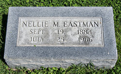
| Birth | : | 1876 Adams County, Iowa, USA |
| Death | : | 1961 Yuma, Yuma County, Colorado, USA |
| Burial | : | Randalls Park Cemetery and Crematorium, Leatherhead, Mole Valley District, England |
| Coordinate | : | 51.3035290, -0.3469730 |
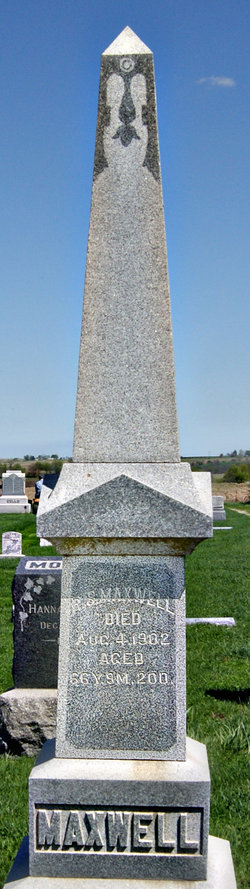
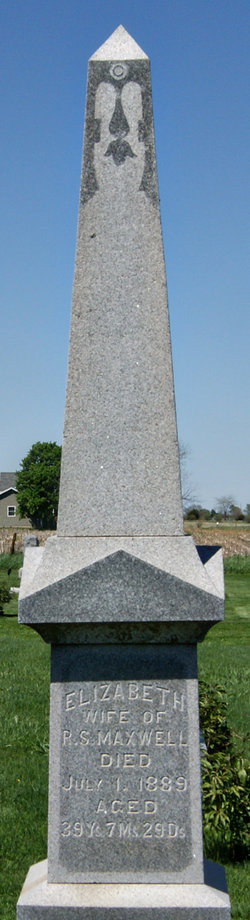
| Description | : | Sarah Maxwell was born in 1876. She married Elver Jesse McClelland on February 12, 1896 in Adams County, Iowa. In 1909 they moved their family to near Yuma, Colorado, where they has since resided. She was preceded in death by her husband Elver and son Paul Dowlin. She is survived by a son, Austin of Lincoln, Nebraska, and a daughter Beth, who with her husband resides at Arvada, a suburb of Denver, Colorado; two grandsons and one granddaughter. |
frequently asked questions (FAQ):
-
Where is Sarah Ann Maxwell McClelland's memorial?
Sarah Ann Maxwell McClelland's memorial is located at: Randalls Park Cemetery and Crematorium, Leatherhead, Mole Valley District, England.
-
When did Sarah Ann Maxwell McClelland death?
Sarah Ann Maxwell McClelland death on 1961 in Yuma, Yuma County, Colorado, USA
-
Where are the coordinates of the Sarah Ann Maxwell McClelland's memorial?
Latitude: 51.3035290
Longitude: -0.3469730
Family Members:
Parent
Spouse

Siblings
Children
Flowers:


Nearby Cemetories:
1. Randalls Park Cemetery and Crematorium
Leatherhead, Mole Valley District, England
Coordinate: 51.3035290, -0.3469730
2. St Mary Churchyard
Fetcham, Mole Valley District, England
Coordinate: 51.2881290, -0.3525500
3. St Mary and St Nicholas Churchyard
Leatherhead, Mole Valley District, England
Coordinate: 51.2925810, -0.3269850
4. Yehudi Menuhin International School
Stoke D'Abernon, Elmbridge Borough, England
Coordinate: 51.3059170, -0.3775720
5. St Marys Churchyard
Stoke D'Abernon, Elmbridge Borough, England
Coordinate: 51.3139230, -0.3812710
6. St Nicolas Parish Churchyard
Great Bookham, Mole Valley District, England
Coordinate: 51.2798220, -0.3739870
7. All Saints Churchyard
Little Bookham, Mole Valley District, England
Coordinate: 51.2826900, -0.3864790
8. Cobham Municipal Cemetery
Cobham, Elmbridge Borough, England
Coordinate: 51.3204240, -0.3954060
9. St Giles Churchyard
Ashtead, Mole Valley District, England
Coordinate: 51.3086540, -0.2900093
10. St Michael Churchyard
Mickleham, Mole Valley District, England
Coordinate: 51.2675150, -0.3233720
11. St Lawrence Churchyard
Effingham, Guildford Borough, England
Coordinate: 51.2712010, -0.3984180
12. St Andrew Churchyard
Cobham, Elmbridge Borough, England
Coordinate: 51.3259580, -0.4114970
13. Polesden Lacey Estate Pet Cemetery
Great Bookham, Mole Valley District, England
Coordinate: 51.2592260, -0.3718640
14. Polesden Lacey Estate
Great Bookham, Mole Valley District, England
Coordinate: 51.2591310, -0.3718630
15. St Marys Churchyard
Headley, Mole Valley District, England
Coordinate: 51.2799700, -0.2736100
16. St. Matthew's Churchyard
Cobham, Elmbridge Borough, England
Coordinate: 51.3098290, -0.4335730
17. Holy Trinity Churchyard
Claygate, Elmbridge Borough, England
Coordinate: 51.3588960, -0.3394210
18. Epsom Cemetery
Epsom, Epsom and Ewell Borough, England
Coordinate: 51.3198040, -0.2594180
19. St. Martin of Tours Churchyard
Epsom, Epsom and Ewell Borough, England
Coordinate: 51.3306847, -0.2593640
20. St Mary the Virgin Churchyard
Chessington, Royal Borough of Kingston upon Thames, England
Coordinate: 51.3580840, -0.3001320
21. St. Barnabas Churchyard
Ranmore Common, Mole Valley District, England
Coordinate: 51.2419730, -0.3602730
22. St. Martin's Churchyard
East Horsley, Guildford Borough, England
Coordinate: 51.2638550, -0.4314040
23. Horton Estate Cemetery
Epsom, Epsom and Ewell Borough, England
Coordinate: 51.3527020, -0.2762460
24. Saint Peter's Church
Walton-on-the-Hill, Reigate and Banstead Borough, England
Coordinate: 51.2817810, -0.2467230