
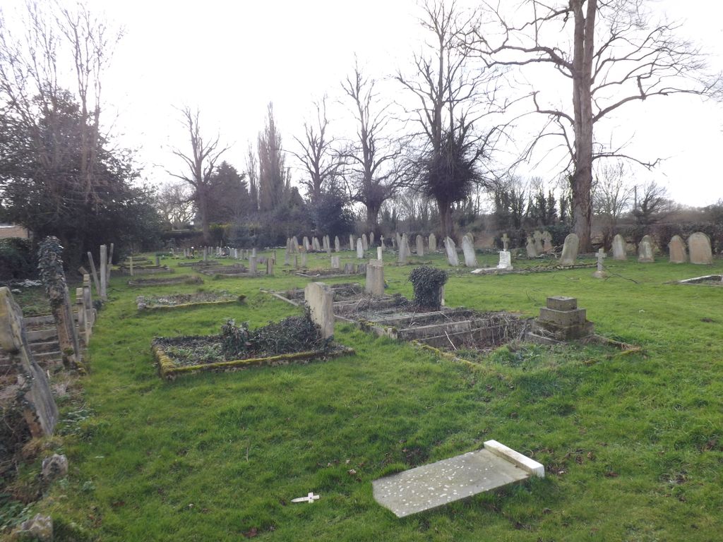
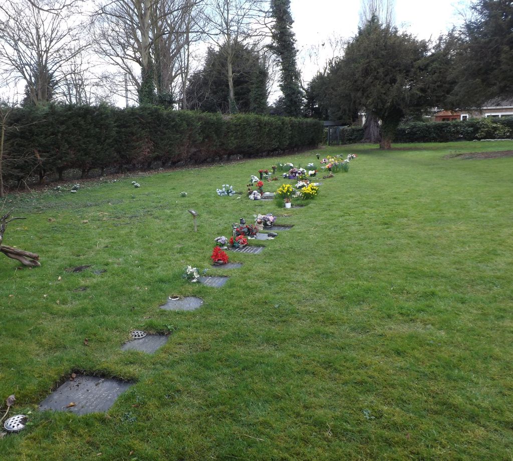
| Memorials | : | 1 |
| Location | : | Offord Cluny, Huntingdonshire District, England |
| Coordinate | : | 52.2878400, -0.2144120 |
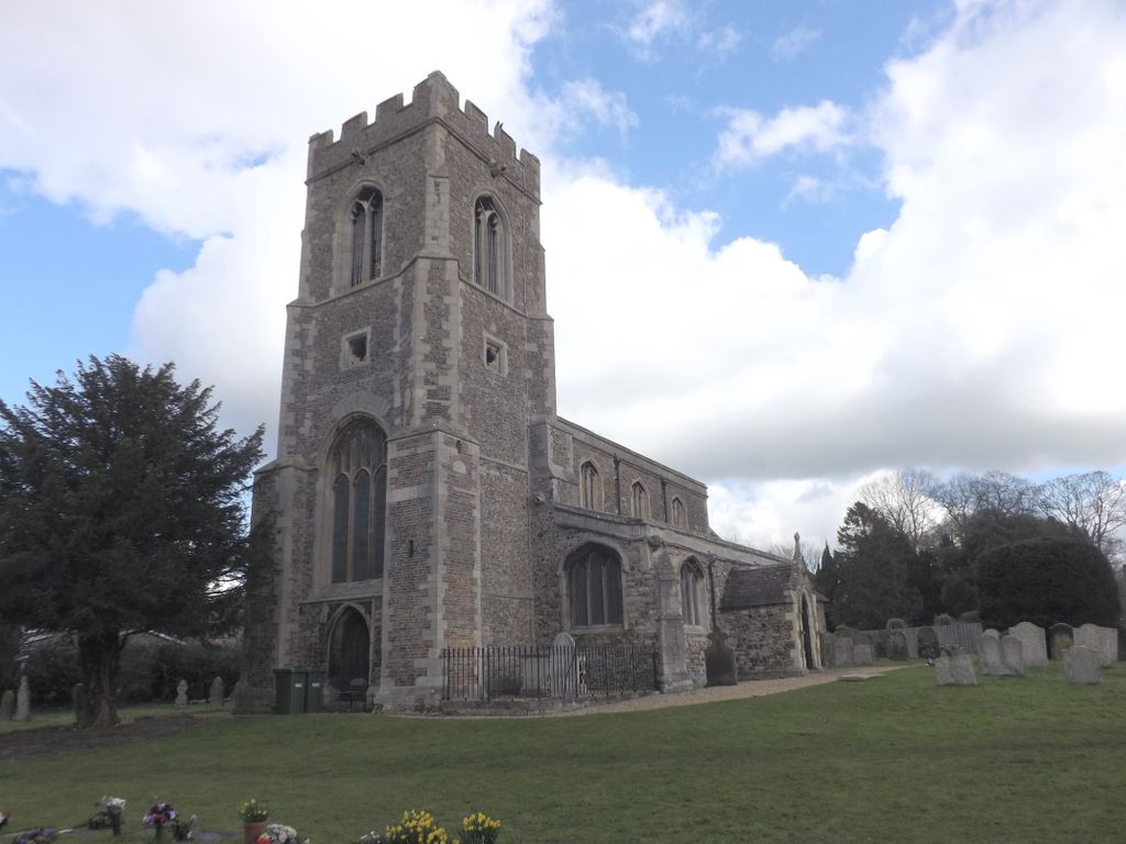
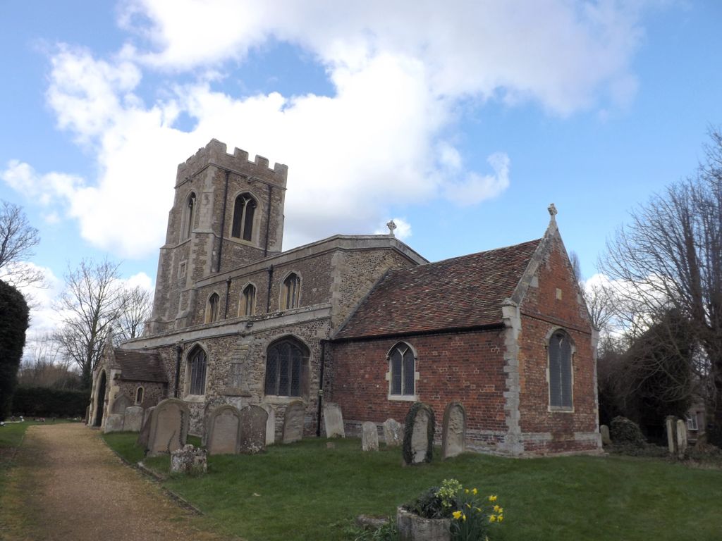
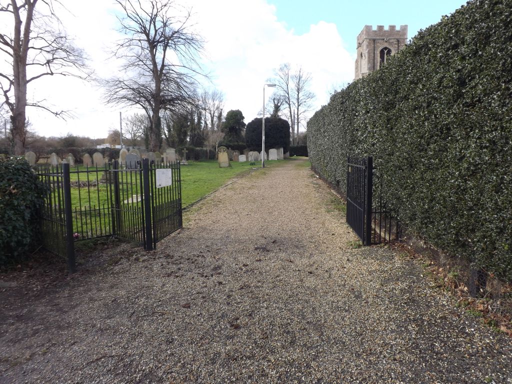
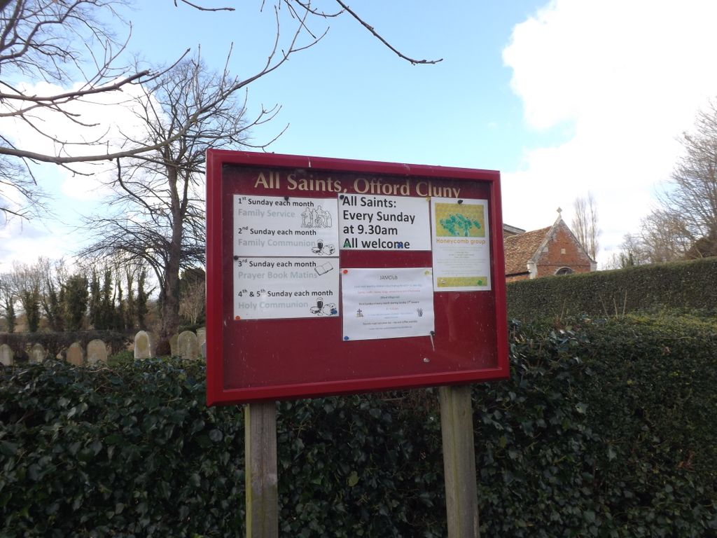
| Description | : | The Church of All Saints is a Grade II Listed building and was mentioned in the Domesday Book but nothing from that period remains. The church has a stained glass window dedicated to the Pathfinders. |
frequently asked questions (FAQ):
-
Where is All Saints Churchyard?
All Saints Churchyard is located at High Street Offord Cluny, Huntingdonshire District ,Cambridgeshire , PE19 5RREngland.
-
All Saints Churchyard cemetery's updated grave count on graveviews.com?
1 memorials
-
Where are the coordinates of the All Saints Churchyard?
Latitude: 52.2878400
Longitude: -0.2144120
Nearby Cemetories:
1. St Peter's Churchyard
Offord d'Arcy, Huntingdonshire District, England
Coordinate: 52.2824000, -0.2178000
2. Lucks Lane Cemetery
Buckden, Huntingdonshire District, England
Coordinate: 52.2910048, -0.2530740
3. St Mary's Churchyard
Buckden, Huntingdonshire District, England
Coordinate: 52.2941000, -0.2526000
4. Holy Trinity Churchyard
Great Paxton, Huntingdonshire District, England
Coordinate: 52.2620300, -0.2291600
5. St. Lawrence's Churchyard
Diddington, Huntingdonshire District, England
Coordinate: 52.2784800, -0.2578000
6. Brampton Cemetery
Brampton, Huntingdonshire District, England
Coordinate: 52.3212480, -0.2177190
7. GODMANCHESTER LAWN CEMETERY
Godmanchester, Huntingdonshire District, England
Coordinate: 52.3091902, -0.1655030
8. St Botolph Churchyard
Graveley, South Cambridgeshire District, England
Coordinate: 52.2605200, -0.1701700
9. St Leonard Churchyard
Southoe, Huntingdonshire District, England
Coordinate: 52.2654070, -0.2679460
10. St. Mary the Virgin Churchyard
Godmanchester, Huntingdonshire District, England
Coordinate: 52.3202190, -0.1744400
11. Godmanchester War Memorial
Godmanchester, Huntingdonshire District, England
Coordinate: 52.3225780, -0.1759580
12. St Marys Churchyard
Huntingdon, Huntingdonshire District, England
Coordinate: 52.3289548, -0.1799861
13. All Saints Parish Churchyard
Huntingdon, Huntingdonshire District, England
Coordinate: 52.3307170, -0.1849760
14. Little Paxton Cemetery
Little Paxton, Huntingdonshire District, England
Coordinate: 52.2548800, -0.2764600
15. Priory Road Cemetery
Huntingdon, Huntingdonshire District, England
Coordinate: 52.3334320, -0.1796500
16. St John the Baptist Churchyard
Papworth St Agnes, South Cambridgeshire District, England
Coordinate: 52.2641300, -0.1414700
17. Primrose Lane Lawn Cemetery
Huntingdonshire District, England
Coordinate: 52.3334666, -0.1760611
18. All Saints Churchyard
Huntingdon, Huntingdonshire District, England
Coordinate: 52.3366363, -0.1607257
19. St Nicholas Churchyard
Hail Weston, Huntingdonshire District, England
Coordinate: 52.2447100, -0.2945500
20. New Street Baptist Church St Neots
St Neots, Huntingdonshire District, England
Coordinate: 52.2290700, -0.2686400
21. St Margaret of Antioch Churchyard
Hemingford Abbots, Huntingdonshire District, England
Coordinate: 52.3237400, -0.1192820
22. St. Neots Priory
St Neots, Huntingdonshire District, England
Coordinate: 52.2281710, -0.2705280
23. Parish Church of St. Mary the Virgin
St Neots, Huntingdonshire District, England
Coordinate: 52.2268700, -0.2671700
24. St. Neots Cemetery
St Neots, Huntingdonshire District, England
Coordinate: 52.2253680, -0.2641010