
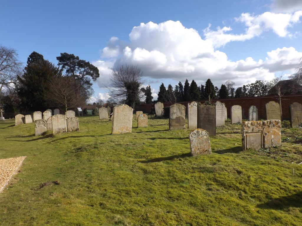
| Memorials | : | 0 |
| Location | : | Offord d'Arcy, Huntingdonshire District, England |
| Coordinate | : | 52.2824000, -0.2178000 |
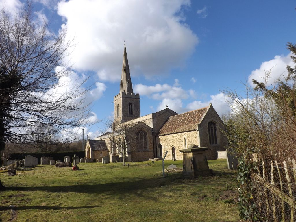
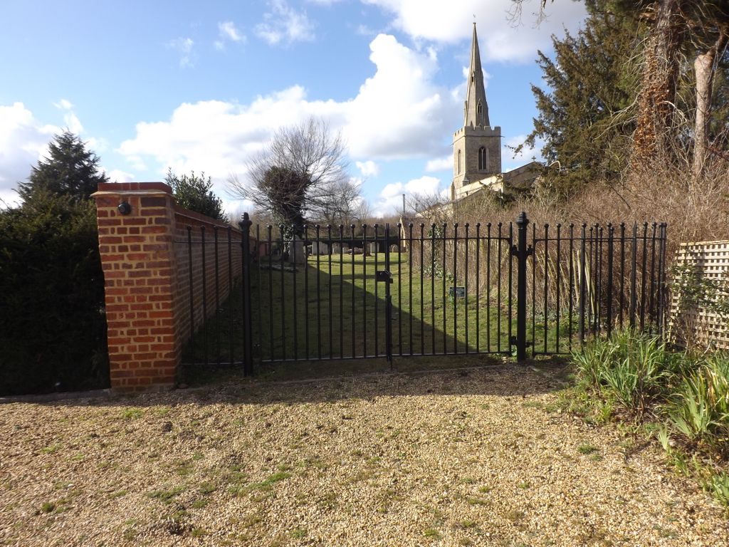
| Description | : | St Peter's Church, Offord D'Arcy, is a 12th century redundant Anglican church in the village of Offord D'Arcy, Cambridgeshire, England. It has been designated by English Heritage as a Grade I listed building, and is under the care of the Churches Conservation Trust. The church is mainly constructed of pebble and freestone, with dressings of Barnack limestone. |
frequently asked questions (FAQ):
-
Where is St Peter's Churchyard?
St Peter's Churchyard is located at Offord d'Arcy, Huntingdonshire District ,Cambridgeshire ,England.
-
St Peter's Churchyard cemetery's updated grave count on graveviews.com?
0 memorials
-
Where are the coordinates of the St Peter's Churchyard?
Latitude: 52.2824000
Longitude: -0.2178000
Nearby Cemetories:
1. All Saints Churchyard
Offord Cluny, Huntingdonshire District, England
Coordinate: 52.2878400, -0.2144120
2. Holy Trinity Churchyard
Great Paxton, Huntingdonshire District, England
Coordinate: 52.2620300, -0.2291600
3. Lucks Lane Cemetery
Buckden, Huntingdonshire District, England
Coordinate: 52.2910048, -0.2530740
4. St Mary's Churchyard
Buckden, Huntingdonshire District, England
Coordinate: 52.2941000, -0.2526000
5. St. Lawrence's Churchyard
Diddington, Huntingdonshire District, England
Coordinate: 52.2784800, -0.2578000
6. St Leonard Churchyard
Southoe, Huntingdonshire District, England
Coordinate: 52.2654070, -0.2679460
7. St Botolph Churchyard
Graveley, South Cambridgeshire District, England
Coordinate: 52.2605200, -0.1701700
8. Brampton Cemetery
Brampton, Huntingdonshire District, England
Coordinate: 52.3212480, -0.2177190
9. GODMANCHESTER LAWN CEMETERY
Godmanchester, Huntingdonshire District, England
Coordinate: 52.3091902, -0.1655030
10. Little Paxton Cemetery
Little Paxton, Huntingdonshire District, England
Coordinate: 52.2548800, -0.2764600
11. St. Mary the Virgin Churchyard
Godmanchester, Huntingdonshire District, England
Coordinate: 52.3202190, -0.1744400
12. Godmanchester War Memorial
Godmanchester, Huntingdonshire District, England
Coordinate: 52.3225780, -0.1759580
13. St John the Baptist Churchyard
Papworth St Agnes, South Cambridgeshire District, England
Coordinate: 52.2641300, -0.1414700
14. St Marys Churchyard
Huntingdon, Huntingdonshire District, England
Coordinate: 52.3289548, -0.1799861
15. All Saints Parish Churchyard
Huntingdon, Huntingdonshire District, England
Coordinate: 52.3307170, -0.1849760
16. Priory Road Cemetery
Huntingdon, Huntingdonshire District, England
Coordinate: 52.3334320, -0.1796500
17. Primrose Lane Lawn Cemetery
Huntingdonshire District, England
Coordinate: 52.3334666, -0.1760611
18. St Nicholas Churchyard
Hail Weston, Huntingdonshire District, England
Coordinate: 52.2447100, -0.2945500
19. New Street Baptist Church St Neots
St Neots, Huntingdonshire District, England
Coordinate: 52.2290700, -0.2686400
20. St. Neots Priory
St Neots, Huntingdonshire District, England
Coordinate: 52.2281710, -0.2705280
21. Parish Church of St. Mary the Virgin
St Neots, Huntingdonshire District, England
Coordinate: 52.2268700, -0.2671700
22. St. Neots Cemetery
St Neots, Huntingdonshire District, England
Coordinate: 52.2253680, -0.2641010
23. All Saints Churchyard
Huntingdon, Huntingdonshire District, England
Coordinate: 52.3366363, -0.1607257
24. Eynesbury Old Cemetery
Huntingdonshire District, England
Coordinate: 52.2243800, -0.2705300