
| Memorials | : | 1 |
| Location | : | Graveley, South Cambridgeshire District, England |
| Coordinate | : | 52.2605200, -0.1701700 |
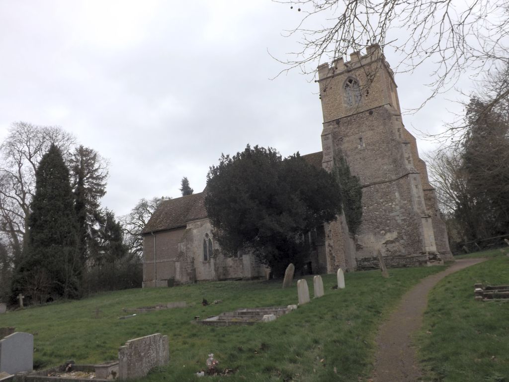
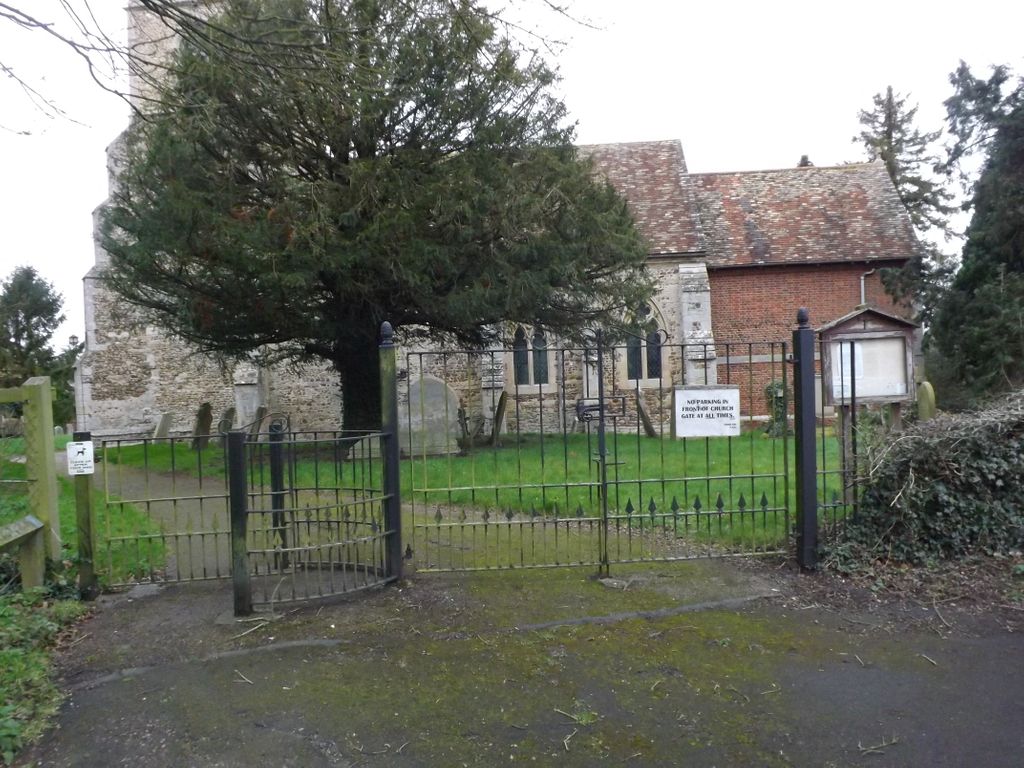
| Description | : | Graveley is a village and civil parish in South Cambridgeshire, England. Listed as Greflea in the 10th century and Gravelei in the Domesday Book of 1086, the name is believed to mean "woodland clearing by the pit or trench". The parish church has been dedicated to St Botolph since at least the 14th century. |
frequently asked questions (FAQ):
-
Where is St Botolph Churchyard?
St Botolph Churchyard is located at Graveley, South Cambridgeshire District ,Cambridgeshire ,England.
-
St Botolph Churchyard cemetery's updated grave count on graveviews.com?
0 memorials
-
Where are the coordinates of the St Botolph Churchyard?
Latitude: 52.2605200
Longitude: -0.1701700
Nearby Cemetories:
1. St John the Baptist Churchyard
Papworth St Agnes, South Cambridgeshire District, England
Coordinate: 52.2641300, -0.1414700
2. Holy Trinity Churchyard
Great Paxton, Huntingdonshire District, England
Coordinate: 52.2620300, -0.2291600
3. St Peter's Churchyard
Offord d'Arcy, Huntingdonshire District, England
Coordinate: 52.2824000, -0.2178000
4. All Saints Churchyard
Offord Cluny, Huntingdonshire District, England
Coordinate: 52.2878400, -0.2144120
5. St Pandionia and St John the Baptist Churchyard
Eltisley, South Cambridgeshire District, England
Coordinate: 52.2205960, -0.1445670
6. St. James Churchyard
Croxton, South Cambridgeshire District, England
Coordinate: 52.2174280, -0.1688510
7. GODMANCHESTER LAWN CEMETERY
Godmanchester, Huntingdonshire District, England
Coordinate: 52.3091902, -0.1655030
8. St. Lawrence's Churchyard
Diddington, Huntingdonshire District, England
Coordinate: 52.2784800, -0.2578000
9. Lucks Lane Cemetery
Buckden, Huntingdonshire District, England
Coordinate: 52.2910048, -0.2530740
10. St. Mary the Virgin Churchyard
Godmanchester, Huntingdonshire District, England
Coordinate: 52.3202190, -0.1744400
11. St Leonard Churchyard
Southoe, Huntingdonshire District, England
Coordinate: 52.2654070, -0.2679460
12. St Mary's Churchyard
Buckden, Huntingdonshire District, England
Coordinate: 52.2941000, -0.2526000
13. Godmanchester War Memorial
Godmanchester, Huntingdonshire District, England
Coordinate: 52.3225780, -0.1759580
14. Elsworth Particular Baptist Chapelyard
Elsworth, South Cambridgeshire District, England
Coordinate: 52.2559800, -0.0686500
15. Little Paxton Cemetery
Little Paxton, Huntingdonshire District, England
Coordinate: 52.2548800, -0.2764600
16. St Mary Churchyard
Conington, South Cambridgeshire District, England
Coordinate: 52.2768320, -0.0665850
17. Brampton Cemetery
Brampton, Huntingdonshire District, England
Coordinate: 52.3212480, -0.2177190
18. St. Neots Cemetery
St Neots, Huntingdonshire District, England
Coordinate: 52.2253680, -0.2641010
19. New Street Baptist Church St Neots
St Neots, Huntingdonshire District, England
Coordinate: 52.2290700, -0.2686400
20. Parish Church of St. Mary the Virgin
St Neots, Huntingdonshire District, England
Coordinate: 52.2268700, -0.2671700
21. St Marys Churchyard
Huntingdon, Huntingdonshire District, England
Coordinate: 52.3289548, -0.1799861
22. St. Neots Priory
St Neots, Huntingdonshire District, England
Coordinate: 52.2281710, -0.2705280
23. Hemingford Grey Cemetery
Hemingford Grey, Huntingdonshire District, England
Coordinate: 52.3162700, -0.1008800
24. St Margaret of Antioch Churchyard
Hemingford Abbots, Huntingdonshire District, England
Coordinate: 52.3237400, -0.1192820