
| Memorials | : | 0 |
| Location | : | St Neots, Huntingdonshire District, England |
| Coordinate | : | 52.2253680, -0.2641010 |
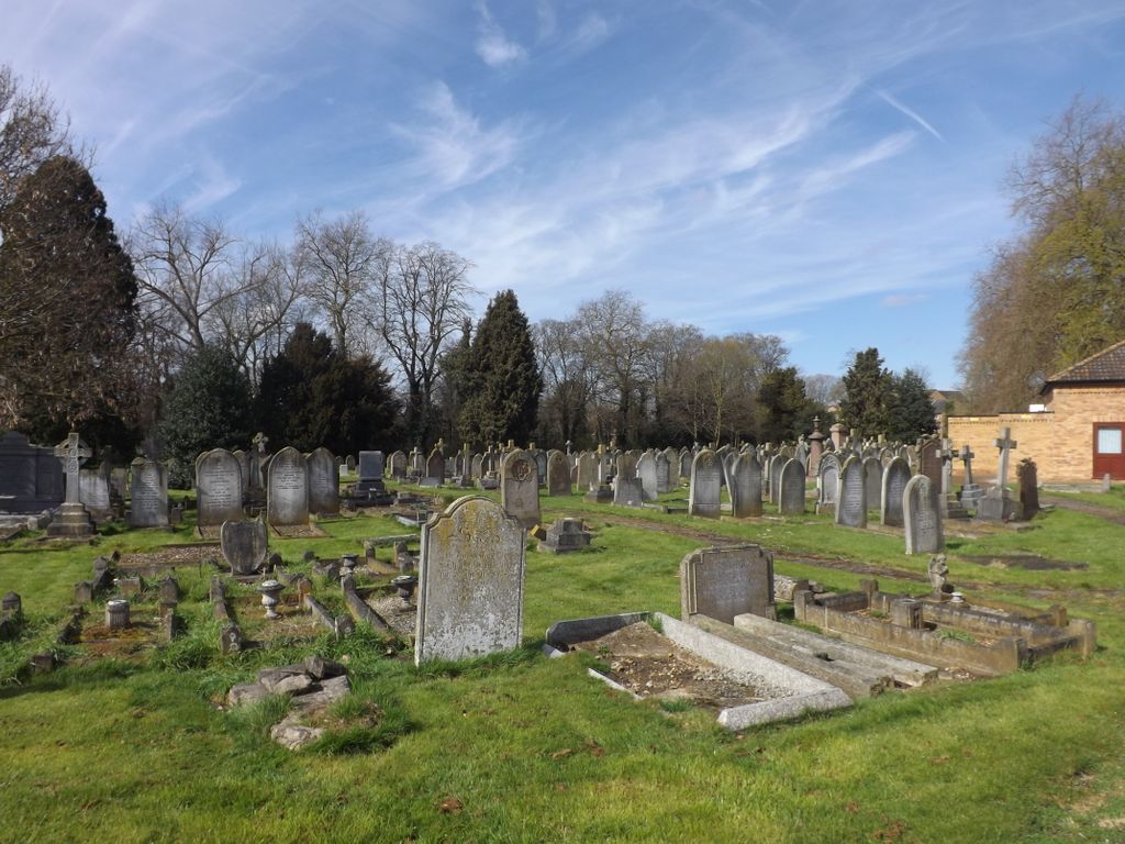
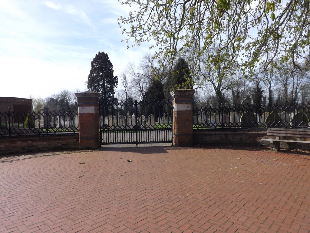
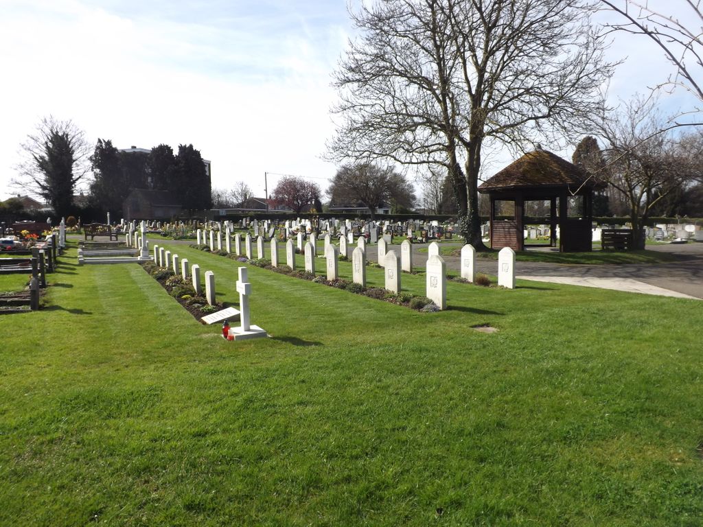
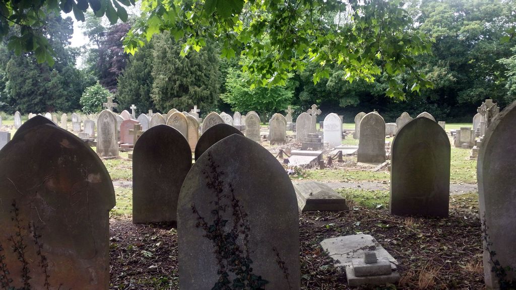
| Description | : | This cemetery is on the South side of the town, it was laid out in 1879. During the 1939-45 War this cemetery was used for burials from No.6 Polish General Hospital, which was stationed at Diddington, just to the north of St. Neots. As a result, in addition to the 9 Commonwealth 1914-18 War and 20 1939-45 War burials, there are 11 Polish burials. |
frequently asked questions (FAQ):
-
Where is St. Neots Cemetery?
St. Neots Cemetery is located at St Neots, Huntingdonshire District ,Cambridgeshire , PE19England.
-
St. Neots Cemetery cemetery's updated grave count on graveviews.com?
0 memorials
-
Where are the coordinates of the St. Neots Cemetery?
Latitude: 52.2253680
Longitude: -0.2641010
Nearby Cemetories:
1. Parish Church of St. Mary the Virgin
St Neots, Huntingdonshire District, England
Coordinate: 52.2268700, -0.2671700
2. Eynesbury Old Cemetery
Huntingdonshire District, England
Coordinate: 52.2243800, -0.2705300
3. New Street Baptist Church St Neots
St Neots, Huntingdonshire District, England
Coordinate: 52.2290700, -0.2686400
4. St. Neots Priory
St Neots, Huntingdonshire District, England
Coordinate: 52.2281710, -0.2705280
5. St Mary Churchyard
Eaton Socon, Huntingdonshire District, England
Coordinate: 52.2156190, -0.2882830
6. St Nicholas Churchyard
Hail Weston, Huntingdonshire District, England
Coordinate: 52.2447100, -0.2945500
7. St Deny's Churchyard
Little Barford, Bedford Borough, England
Coordinate: 52.1982210, -0.2785350
8. Little Paxton Cemetery
Little Paxton, Huntingdonshire District, England
Coordinate: 52.2548800, -0.2764600
9. St Leonard Churchyard
Southoe, Huntingdonshire District, England
Coordinate: 52.2654070, -0.2679460
10. Holy Trinity Churchyard
Great Paxton, Huntingdonshire District, England
Coordinate: 52.2620300, -0.2291600
11. St. Lawrence's Churchyard
Diddington, Huntingdonshire District, England
Coordinate: 52.2784800, -0.2578000
12. St. Mary Magdalene Churchyard
Roxton, Bedford Borough, England
Coordinate: 52.1769310, -0.3146280
13. St. James Churchyard
Croxton, South Cambridgeshire District, England
Coordinate: 52.2174280, -0.1688510
14. St Peter's Churchyard
Offord d'Arcy, Huntingdonshire District, England
Coordinate: 52.2824000, -0.2178000
15. Bushmead Priory
Bushmead, Bedford Borough, England
Coordinate: 52.2336110, -0.3675000
16. Tempsford Village Cemetery
Tempsford, Central Bedfordshire Unitary Authority, England
Coordinate: 52.1639000, -0.3024500
17. Lucks Lane Cemetery
Buckden, Huntingdonshire District, England
Coordinate: 52.2910048, -0.2530740
18. St Botolph Churchyard
Graveley, South Cambridgeshire District, England
Coordinate: 52.2605200, -0.1701700
19. St Andrew Churchyard
Great Staughton, Huntingdonshire District, England
Coordinate: 52.2691765, -0.3504967
20. St Mary's Churchyard
Buckden, Huntingdonshire District, England
Coordinate: 52.2941000, -0.2526000
21. All Saints Churchyard
Offord Cluny, Huntingdonshire District, England
Coordinate: 52.2878400, -0.2144120
22. Old Cemetery
Great Staughton, Huntingdonshire District, England
Coordinate: 52.2694189, -0.3546817
23. St. Denys Churchyard
Colmworth, Bedford Borough, England
Coordinate: 52.2143200, -0.3785620
24. St. Andrew's Church Cemetery
Great Staughton, Huntingdonshire District, England
Coordinate: 52.2677700, -0.3573400